
Mazury (Masurian Lake District)
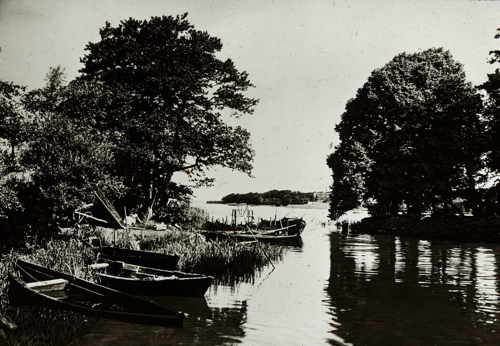
Northeastern Poland holds more water than road. Mazury — the Masurian Lake District — is a landscape of roughly two thousand lakes pressed together across a glacial plain, the ice that shaped them having retreated around fourteen thousand years ago. Śniardwy and Mamry, Poland's two largest lakes at 113 and 104 square kilometres respectively, anchor a system you can navigate almost entirely by boat, kayak or canoe.
The region rewards slowness. Towns like Giżycko and Mikołajki sit at the edges of the water; between them, forest tracks and river trails outnumber the roads. The Krutynia River kayak route is one of the most travelled waterways in Poland, and still manages to feel like your own.
💛 What travellers fall for
People who keep coming back tend to base themselves in Giżycko for its swing bridge — hand-operated, genuinely 19th century — and use it as a launchpad onto the lakes. They also mention the Boyen Fortress, which you can walk through almost any day of the year, and the water tower's café at the top of its 129 steps.
How Mazury (Masurian Lake District) came to be
The lakes themselves are Pleistocene leftovers — depressions gouged and filled as the last ice sheet melted around ten thousand years ago. Human history arrived later and harder. From the thirteenth century, the Teutonic Knights controlled the territory, and their architectural fingerprints remain in castles at Kętrzyn, Reszel, Bartoszyce and Ryn. The region passed into the Duchy of Prussia and then the German province of East Prussia, which is why the star-shaped Boyen Fortress in Giżycko was built between 1843 and 1855 to hold three thousand Prussian soldiers.
The twentieth century left deeper marks. Two major battles — the First and Second Battles of the Masurian Lakes — were fought here in 1914 and 1915. Then, between 1941 and 1944, Adolf Hitler directed much of the war from Wolf's Lair (Wolfsschanze), a 250-hectare compound of roughly two hundred structures built in the forests near Kętrzyn. In 1945 the Soviet occupation transferred administration to communist Poland; the region's German-speaking population was expelled and their property confiscated. The people who live here now are largely descended from those resettled in the years that followed.
Who and what shaped it
Landmark buildings
See Mazury (Masurian Lake District) in motion
Plan your visit
On the map
When to go
Summer — late May through August — brings the most reliable warmth, with daytime temperatures regularly reaching 25–28°C and the lakes fully navigable. Winter is genuinely cold: the northeastern corner of Mazury is sometimes called the refrigerator of Poland, and January temperatures can fall below -25°C, though that same cold makes it good cross-country skiing country.
Right now
Background & history adapted from Wikipedia (CC BY-SA) · specs from Wikidata (CC0) · weather from Open-Meteo · map data © OpenStreetMap contributors · photos from Wikimedia Commons / Unsplash with per-image credit. No third-party reviews or social posts reproduced.