
Mazury Lake District
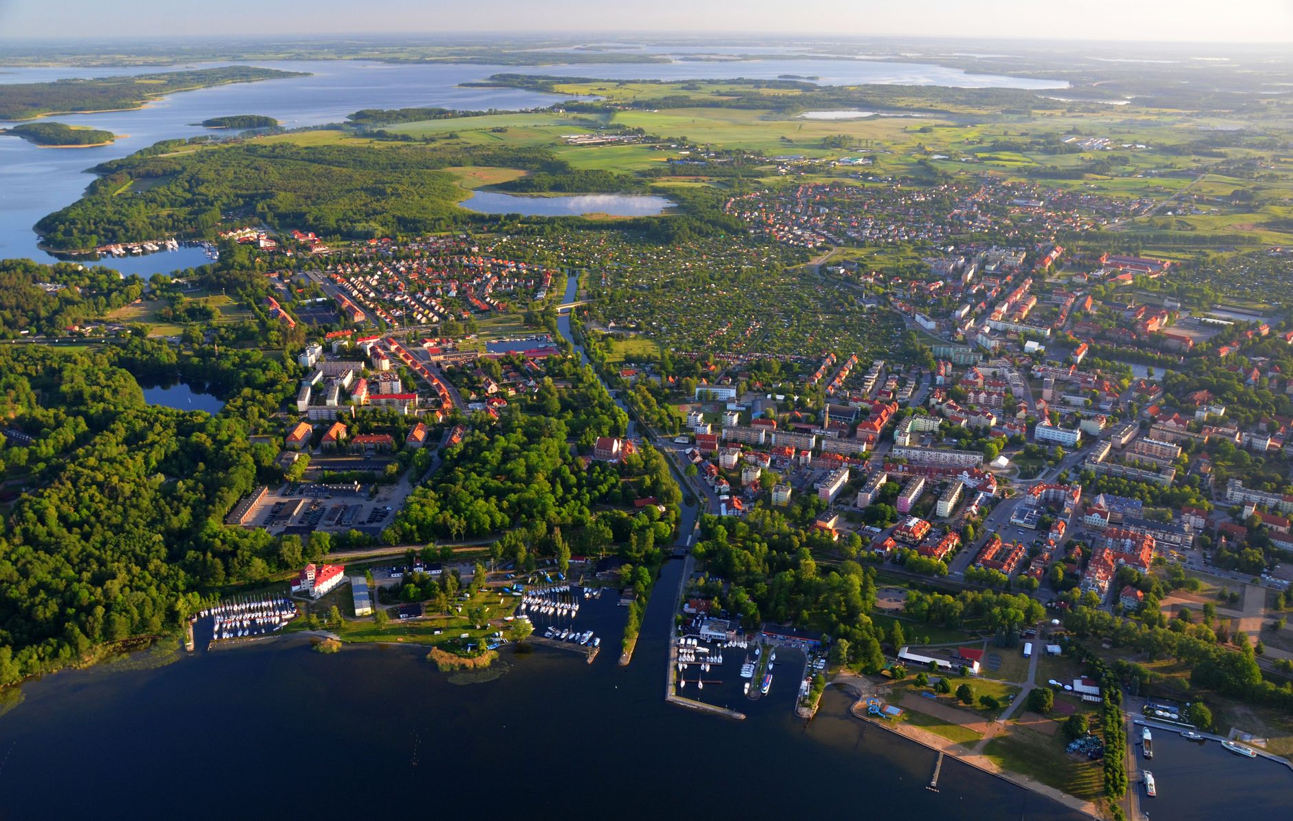
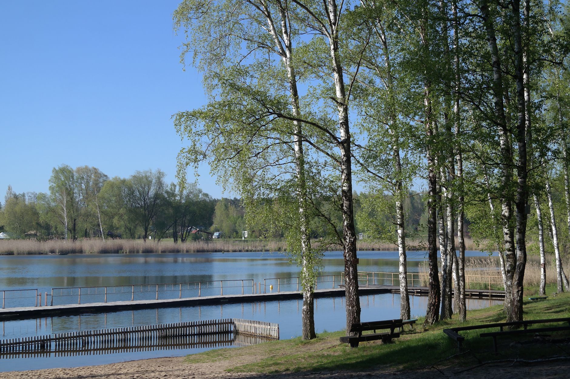
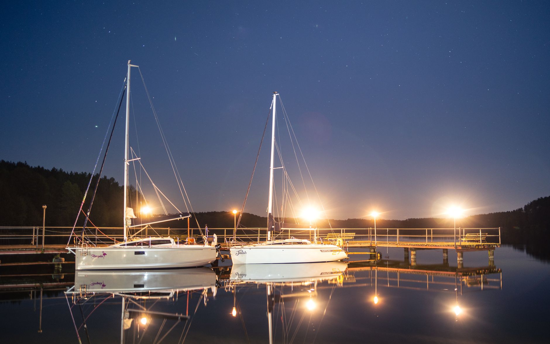
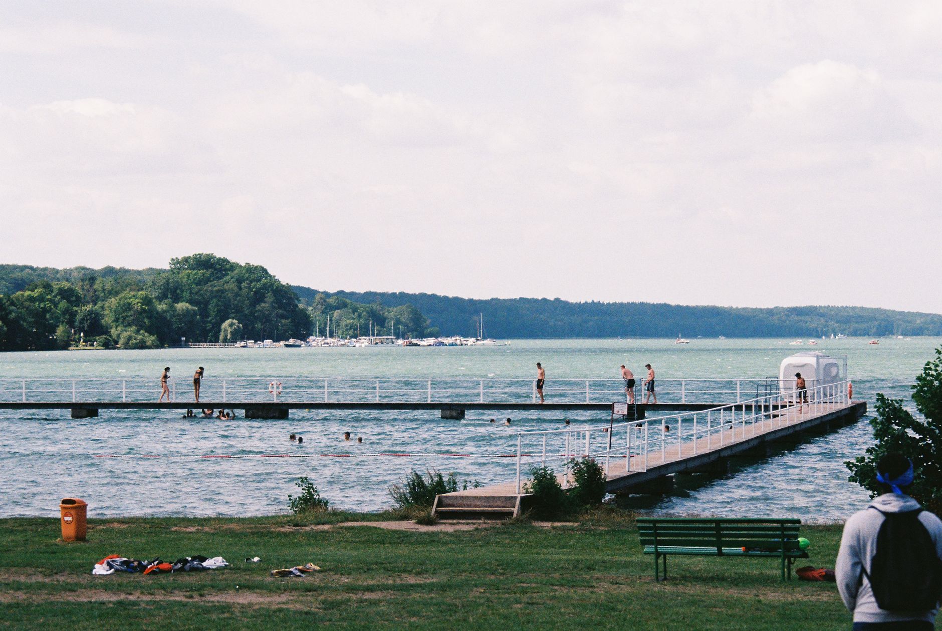
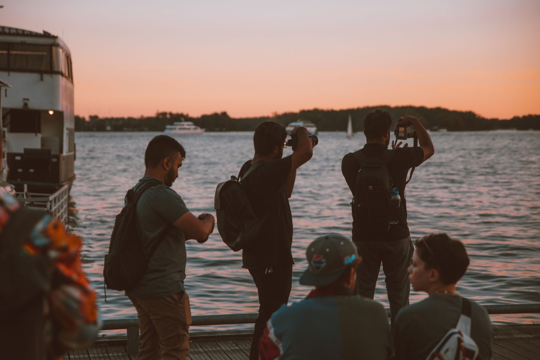
Mazury is where Poland keeps its water. Around 2,000 lakes — carved out by glaciers some 14,000 years ago — spread across the northeast of the country in a loose, interconnected web, and in summer the quays at Mikołajki fill with hundreds of yachts whose masts click and sway like a slow metronome. This is a region you move through as much as visit: by boat along one of four marked waterway trails, by kayak on the Krutynia River, or by car along roads that keep dissolving into forest.
The towns are modest and the landscape does the work. Giżycko has its 19th-century swing bridge — still the only rotating one in Poland — opening for boats six times a day. Ełk anchors the south. Between them lies everything else: reed-fringed shorelines, Teutonic castle ruins, and a bunker complex that once served as Hitler's wartime headquarters.
💛 What travellers fall for
People who come back tend to swap towns rather than repeat them — a week in Mikołajki one summer, Giżycko the next. The consistent advice: base yourself somewhere with a quay, rent a boat for at least one full day, and book accommodation for June or September rather than August, when the waterfront tavernas breathe a little easier and a mooring is actually findable.
How Mazury Lake District came to be
The lakes themselves are the oldest thing here — Pleistocene glaciers retreated around 14,000–15,000 years ago and left behind this landscape of moraines and water. Human history arrived later and stayed complicated. From the 13th century the region passed through the hands of the Teutonic Knights, the Duchy of Prussia, and the Prussian province of East Prussia. The Teutonic Order left a physical mark that's still legible: the castle at Olsztyn dates to 1334, Reszel's to 1350–1401, and the star-shaped Boyen Fortress at Giżycko was raised in the 1840s to guard the narrow pass between two lakes.
The 20th century brought two world wars fought partly on this soil — the First and Second Battles of the Masurian Lakes in 1914 and 1915 — and then, from 1940, the construction of the Wolf's Lair at Gierłoż: 250 hectares of concrete, bunkers, and anti-aircraft shelters that served as Hitler's headquarters until 1944. In 1945, Stalin assigned the region to Polish administration; the German population was expelled and a new chapter, still unfolding, began.
Who and what shaped it
People who shaped it
Landmark buildings
See Mazury Lake District in motion
Plan your visit
On the map
When to go
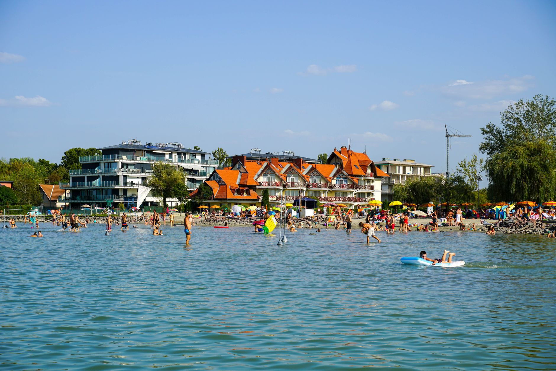
Summers run warm — 25–28°C at peak, with long daylight hours and lake water swimmable by July — but the far northeast earns its reputation as the coldest corner of Poland, with January temperatures that can fall below –25°C. June and September are the practical sweet spot: genuinely warm, far less crowded, and the light on the water in the evenings is worth the compromise.
Right now
Background & history adapted from Wikipedia (CC BY-SA) · specs from Wikidata (CC0) · weather from Open-Meteo · map data © OpenStreetMap contributors · photos from Wikimedia Commons / Unsplash with per-image credit. No third-party reviews or social posts reproduced.