
Maun
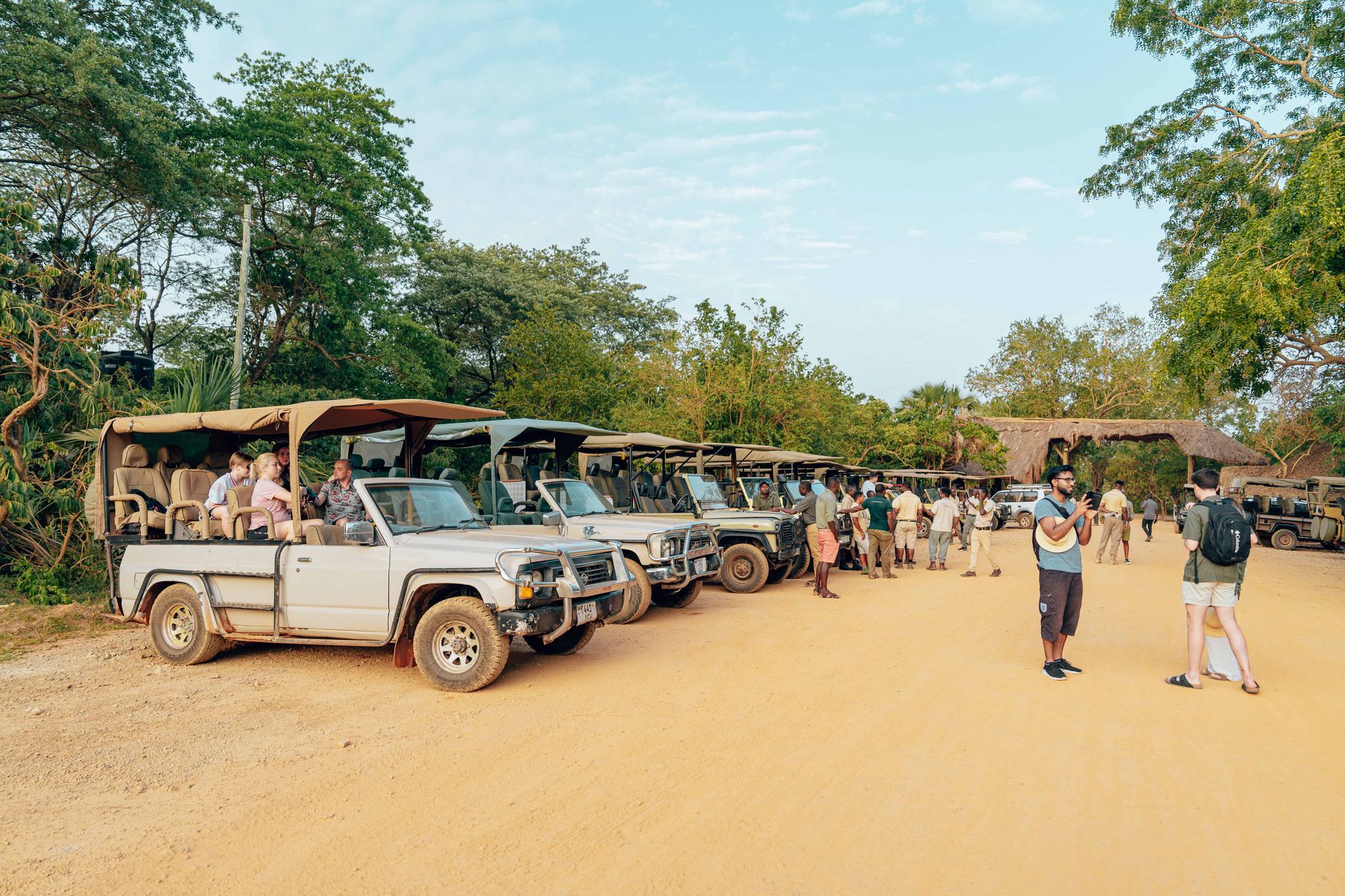

Maun sits at the edge of the Okavango Delta on the Thamalakane River, and its name — drawn from the Seyei word for river reeds — tells you something about the landscape before you even arrive. This is where the tarmac ends and the light aircraft begins: during the June-to-August dry season, Maun Airport ranks among the busiest on the continent by aircraft movements, its apron a constant shuffle of small Cessnas ferrying travellers out to remote camps.
The town itself is the main logistics hub for the Okavango, Moremi Game Reserve, and the Kalahari beyond. Come to sort your kit, change your money, and get your bearings — then let the delta pull you north.
How Maun came to be
In 1915, Kgosi Mathiba I moved the Batawana tribal capital from Toteng to the banks of the Thamalakane River, and the settlement that grew around that decision became Maun. By the 1920s, an entrepreneur named Charles 'Harry' Riley had opened what would become Riley's Hotel — a gathering point for hunters, explorers, and itinerant adventurers that set the town's restless tone early.
The most consequential moment came in 1963, when Mohumagadi Pulane Moremi, regent of the Batawana from 1946 to 1964, led the creation of Moremi Game Reserve — the first protected wildlife area in Africa established by local residents rather than colonial authorities. It remains a landmark act of ecological foresight, and the reserve that bears her name still anchors the region's conservation identity.
Who and what shaped it
People who shaped it
Landmark buildings
See Maun in motion
Plan your visit
On the map
When to go
The dry season (May to October) is cooler and the preferred time to visit — July averages around 27°C and game is easier to spot as water sources shrink. The wet season peaks in January, bringing heat above 37°C and over 150 mm of rain that month alone; the delta floods and some camps close, though the landscape turns dramatically green.
Right now
Background & history adapted from Wikipedia (CC BY-SA) · specs from Wikidata (CC0) · weather from Open-Meteo · map data © OpenStreetMap contributors · photos from Wikimedia Commons / Unsplash with per-image credit. No third-party reviews or social posts reproduced.