
Matsubara
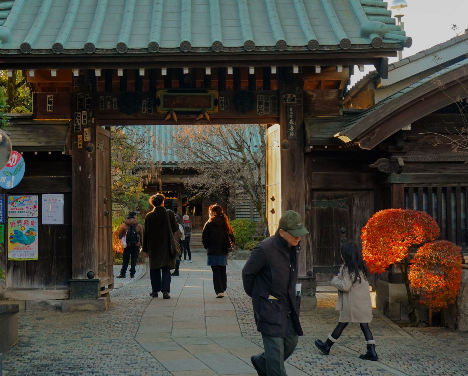
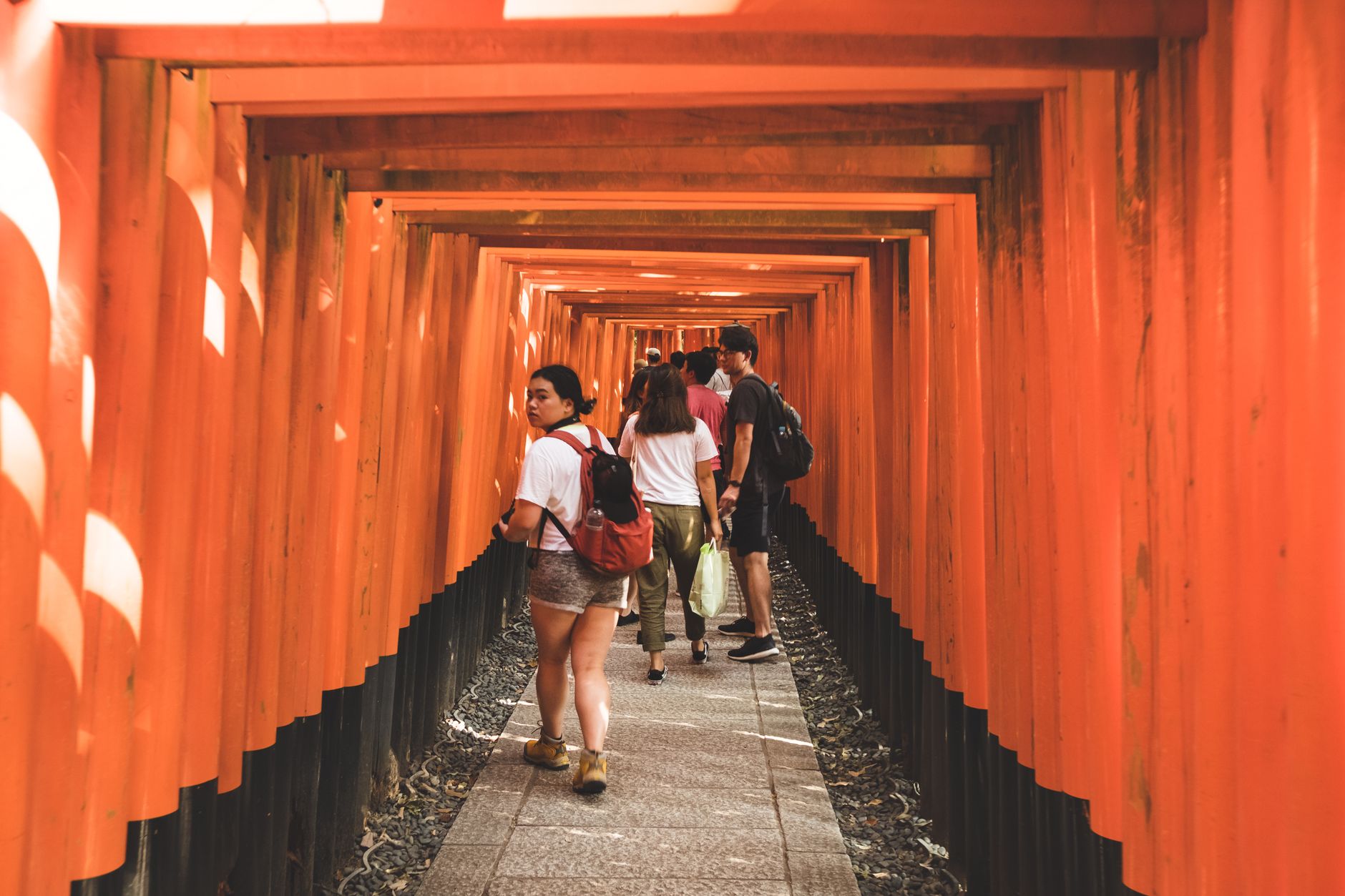
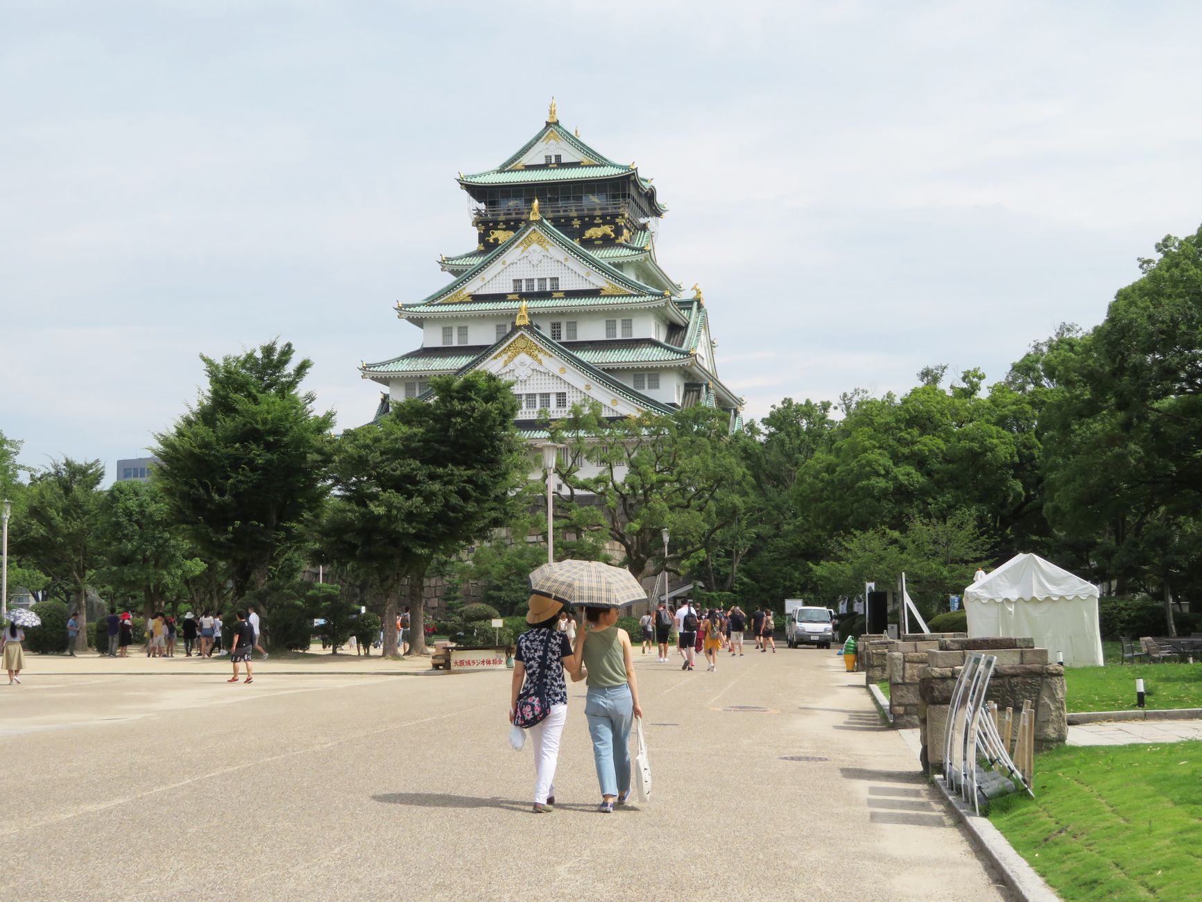
Matsubara sits about ten minutes south of Tennoji on the Kintetsu Minami Osaka Line, and it arrives without fanfare — a low-rise Osaka suburb where the wire-mesh factories and hanko-stamp workshops share space with keyhole-shaped burial mounds older than anything you came to Japan expecting to find. The city's name means 'pine plain,' a reference to the forests that once covered this stretch of Kawachi.
What makes Matsubara worth a deliberate detour is the collision of scales: a fifth-century imperial tumulus larger than most city parks, late-Edo floral paintings on a shrine ceiling, and a municipal skateboard initiative that has turned street art into official civic identity.
💛 What travellers fall for
People who come back tend to time a visit around the New Year pilgrimage — January 1 through 15 — when six shrines across the city hand out stamps toward a paper-mache zodiac toy. It sounds folksy until you're actually doing it, navigating the back streets by bicycle between Ao Shrine and Nunose Shrine with a stamp card in your coat pocket.
Deals in Matsubara
Book directly at the provider


How Matsubara came to be
The ground here has been significant for a long time. In the first half of the fifth century, Emperor Hanzei is said to have established his palace, Tajihishibagakinomiya, in what is now the Shibagaki Shrine precinct. The Otsukayama Kofun — 335 metres long, the fifth-largest keyhole-shaped tumulus in Japan — dates to roughly the same era, a reminder that this flat Kawachi plain was once a seat of early Japanese power.
By the Edo period, Matsubara had settled into its role as the administrative centre of Tannan Domain. The villages of Matsubara, Amami, Nunose, Miyake, and Ega were formally established as separate entities in 1889, merged into a town in 1942, and consolidated into the present city on February 1, 1950. The population surged through the 1960s and 1970s as Osaka's suburbs expanded outward, then levelled off into the quieter, self-contained city it is today.
Who and what shaped it
Landmark buildings
See Matsubara in motion
Plan your visit
On the map
When to go
Summers are warm and humid, peaking around 27°C in August; September brings the heaviest rainfall, so pack accordingly. Winters are cool and dry — January averages around 3.5°C with minimal snow — making the New Year shrine pilgrimage brisk but perfectly walkable.
Right now
Background & history adapted from Wikipedia (CC BY-SA) · specs from Wikidata (CC0) · weather from Open-Meteo · map data © OpenStreetMap contributors · photos from Wikimedia Commons / Unsplash with per-image credit. No third-party reviews or social posts reproduced.