
Matagalpa
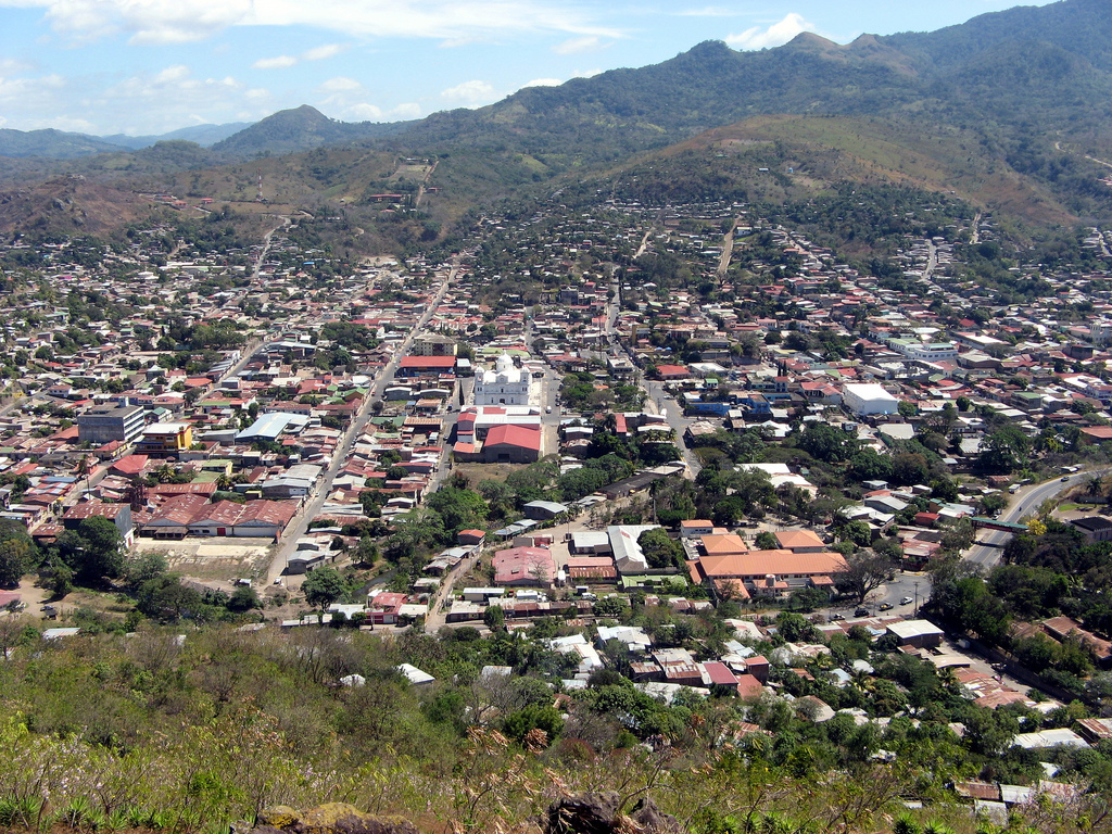
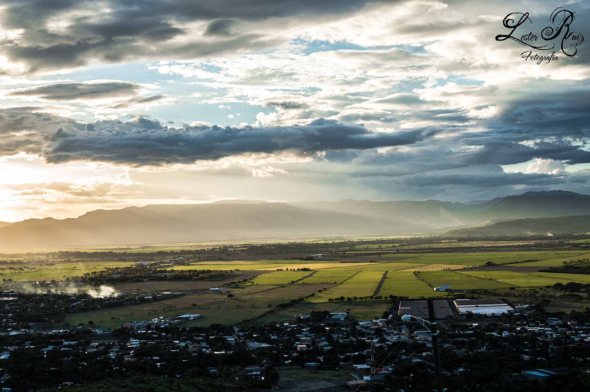
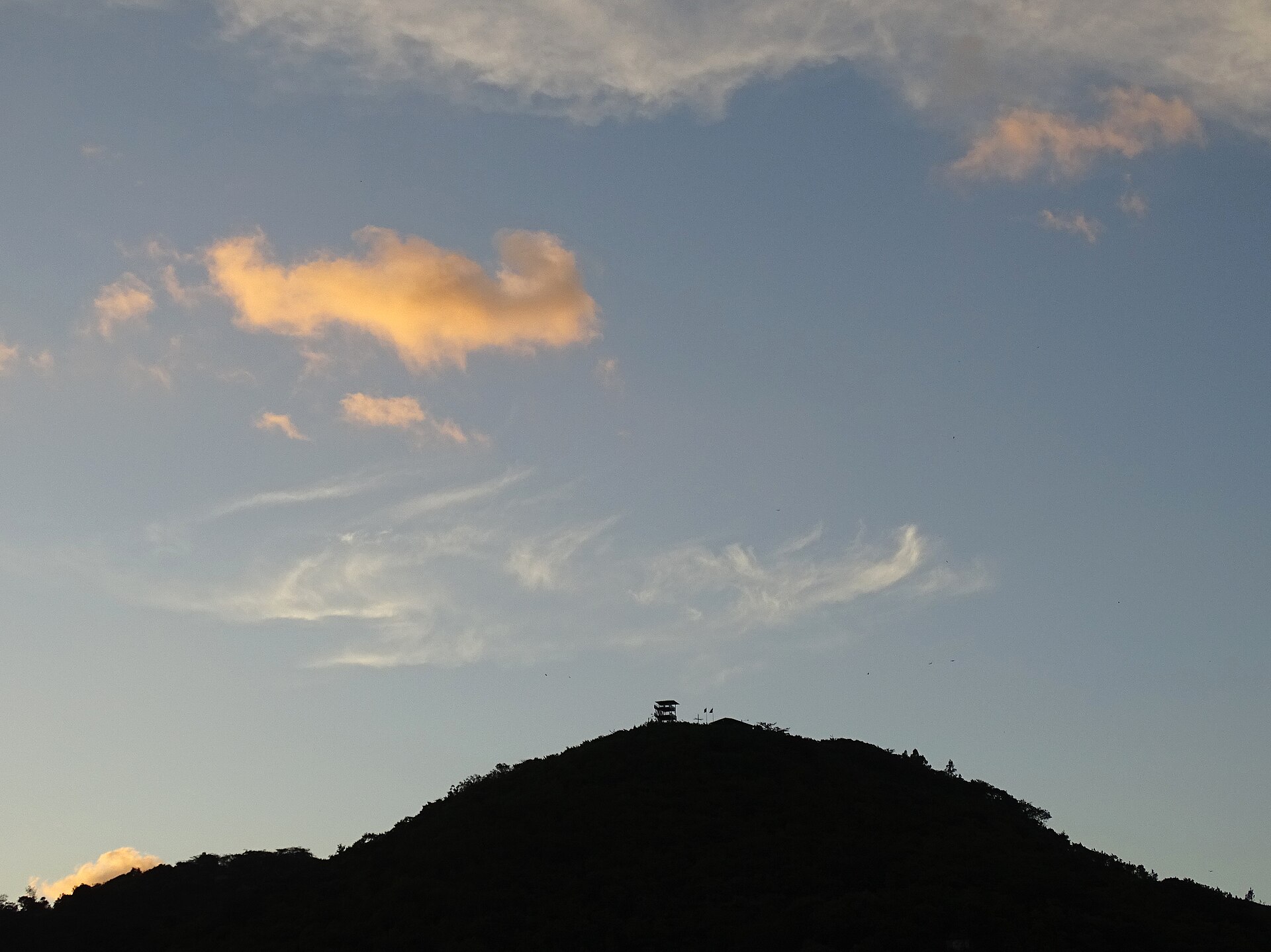
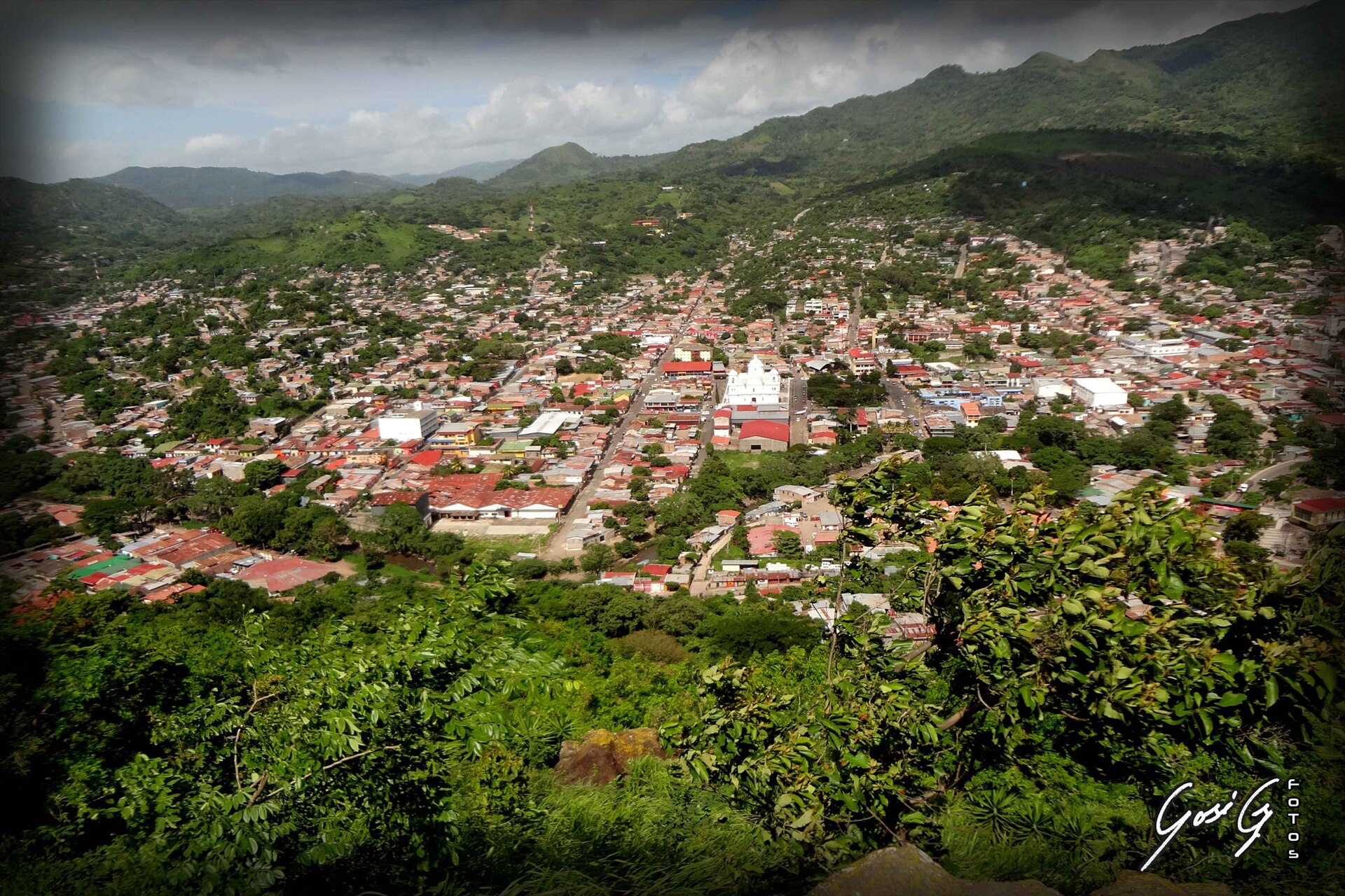
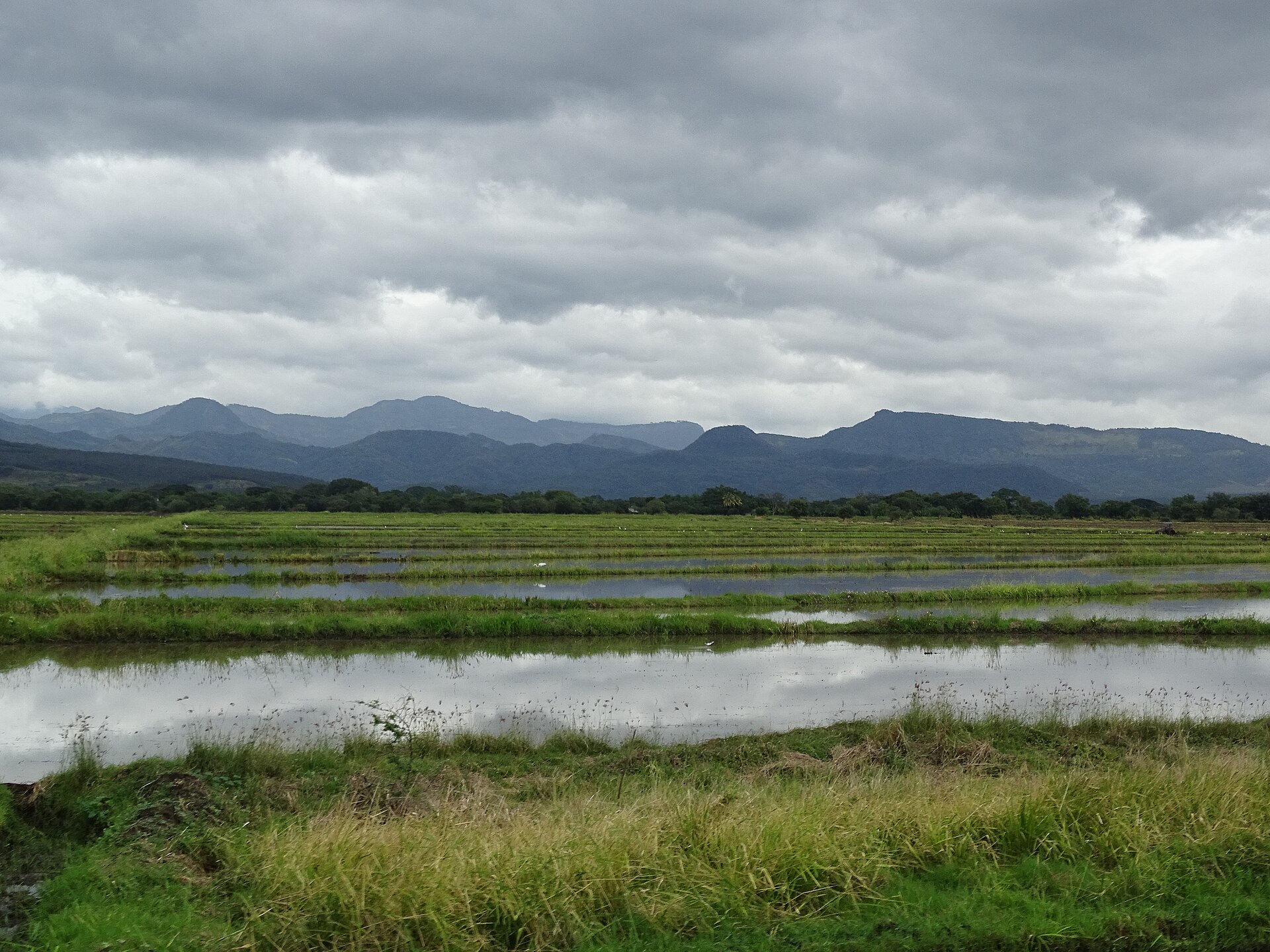
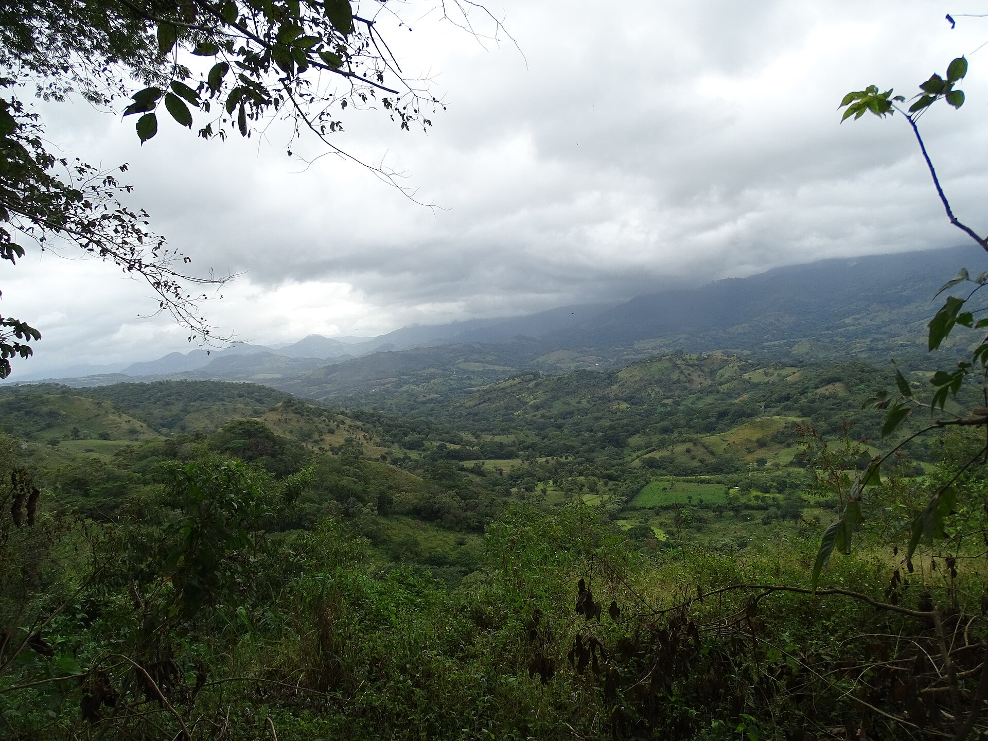
Matagalpa sits in Nicaragua's cool northern highlands, where the road climbs out of the lowland heat and the air smells of wet earth and roasting coffee. The department is the country's coffee heartland — the beans grown on these slopes have been going to market since German immigrants Ludwig Elster and Katharina Braun planted the first trees here in the mid-19th century. That history is still visible: in the old fincas, in the National Museum of Coffee housed in a former workers' club, and in the particular seriousness with which locals talk about a good cup.
Beyond coffee, Matagalpa produced some of Nicaragua's most consequential figures — the poet Rubén Darío and Carlos Fonseca, founder of the Sandinista Front, both have roots here. The city is compact enough to cover on foot, but the surrounding hills and the Selva Negra wildlife refuge reward anyone who lingers a day or two longer than planned.
How Matagalpa came to be
Spain established the corregimiento of Matagalpa in 1538, though sustained colonial presence took time to take hold in these rugged highlands. The department was formally constituted in 1838, and the city of Matagalpa was officially founded in 1858, its growth driven by two discoveries: gold around 1840, and the coffee economy that followed. The gold drew Spaniards, mestizos, and a wave of European immigrants — among them the German couple Elster and Braun, who planted the region's first coffee trees, setting in motion an industry that still defines the landscape.
By 1868, Matagalpa was designated the departmental capital. The Jesuit fathers began constructing the Cathedral of San Pedro in 1874, completing it in 1895; it was declared Cultural Patrimony of the nation in 2007. The city also became the birthplace of Carlos Fonseca Amador, who founded the FSLN in 1961 — a fact the small adobe house on his birth site quietly commemorates.
Who and what shaped it
People who shaped it
Landmark buildings
See Matagalpa in motion
Plan your visit
On the map
When to go
The highlands keep Matagalpa noticeably cooler than the Pacific lowlands year-round, with temperatures that rarely feel oppressive. The dry season (roughly December through April) brings clearer skies and easier hiking; the rainy season from May onward turns the hills intensely green but can make unpaved roads to outlying farms slow going.
Right now
Background & history adapted from Wikipedia (CC BY-SA) · specs from Wikidata (CC0) · weather from Open-Meteo · map data © OpenStreetMap contributors · photos from Wikimedia Commons / Unsplash with per-image credit. No third-party reviews or social posts reproduced.