
Masaya Volcano National Park
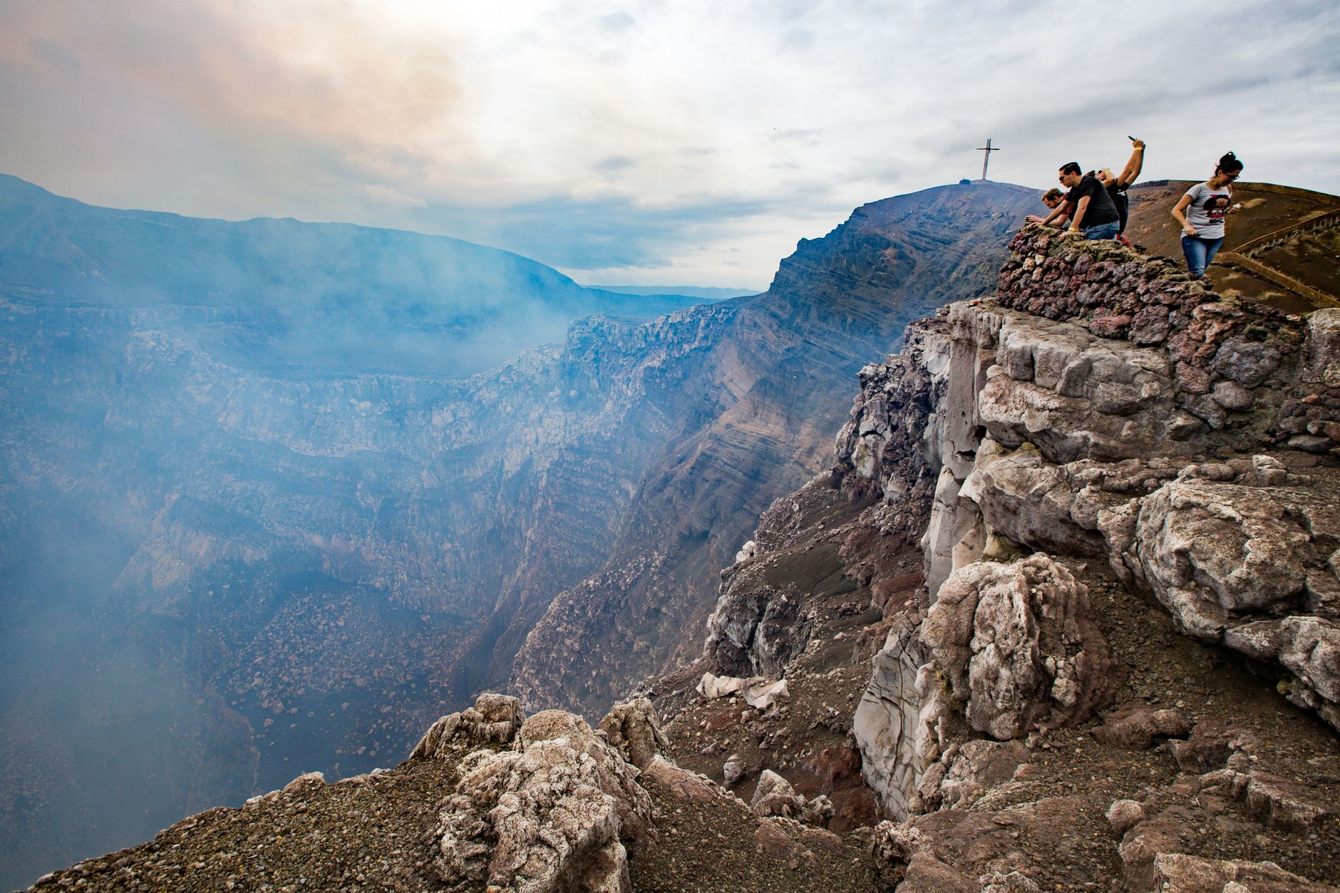
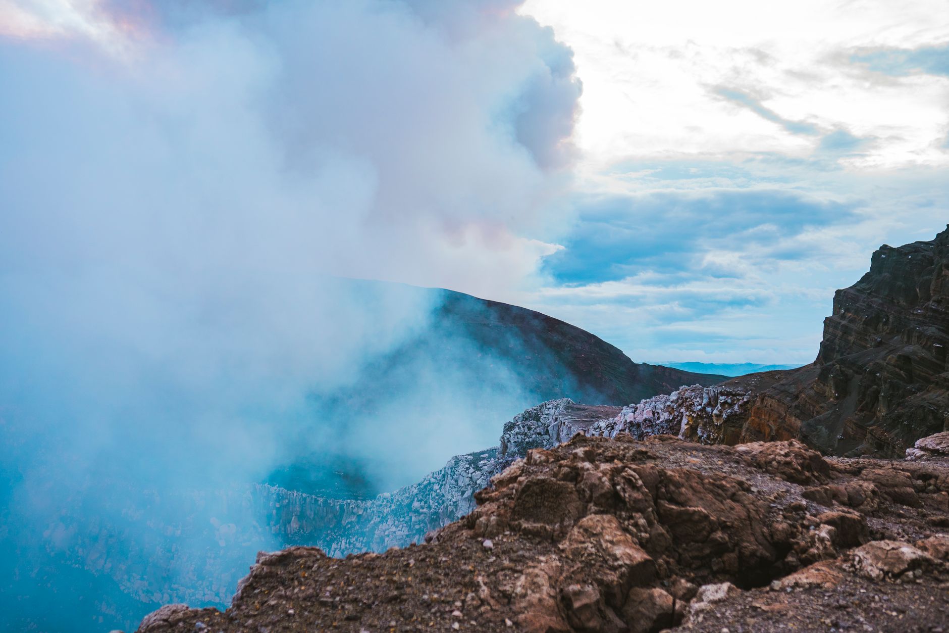


Twenty kilometres south of Managua, a paved road leads you to the rim of Santiago crater — 500 metres wide, 200 deep, and actively venting sulfur dioxide in slow, hissing plumes. The vegetation thins out completely near the edge, acid rain having stripped the hillside bare, and the smell arrives before the view does.
Nicaragua's first national park, established in 1979, holds two calderas, several craters, a lava tube system you can walk through, and a colony of small green parrots — chocoyos — that roost inside the main caldera each evening, apparently unbothered by the fumes. The lava lake in Santiago, partially buried by a March 2024 landslide, reopened to visitors in mid-2025.
💛 What travellers fall for
People who come back tend to time it for late afternoon: the chocoyos return to their crater nests around dusk in a low, looping stream of green, and the light on the lava fields goes amber. The $10 night ticket gets you to the rim after 5 PM, when the glow from below — if the lake is active — reads clearly against the dark.
How Masaya Volcano National Park came to be
The Masaya caldera itself is roughly 2,500 years old, the product of a basaltic ignimbrite eruption. Spanish accounts date to 1524, and by 1529 Friar Francisco Bobadilla had placed a cross at the crater's edge — a reproduction stands there now, access to the original site long since banned on safety grounds. The Santiago crater took its current shape between 1850 and 1853; a lava overflow from the adjacent Nindiri crater in 1670 left fields still visible deeper in the park, while the 1772 flow from the Masaya cone flank is the first thing you cross at the entrance.
The park's darker history runs alongside the geological one. Dictator Anastasio Somoza García used the volcano as a disposal site for the bodies of political enemies. In April 2001 an explosion sent rocks up to 60 centimetres across flying 500 metres, damaging vehicles and injuring one person. The most recent full eruption was 2008.
Who and what shaped it
People who shaped it
Landmark buildings
See Masaya Volcano National Park in motion
Plan your visit
On the map
When to go
The dry season, November through April, brings clear skies and good crater visibility — the conditions most visitors aim for. From May onward, heavy afternoon rain is routine, paths turn slippery, and cloud can sit over the rim for hours at a stretch.
Right now
Background & history adapted from Wikipedia (CC BY-SA) · specs from Wikidata (CC0) · weather from Open-Meteo · map data © OpenStreetMap contributors · photos from Wikimedia Commons / Unsplash with per-image credit. No third-party reviews or social posts reproduced.