
Marina Bay
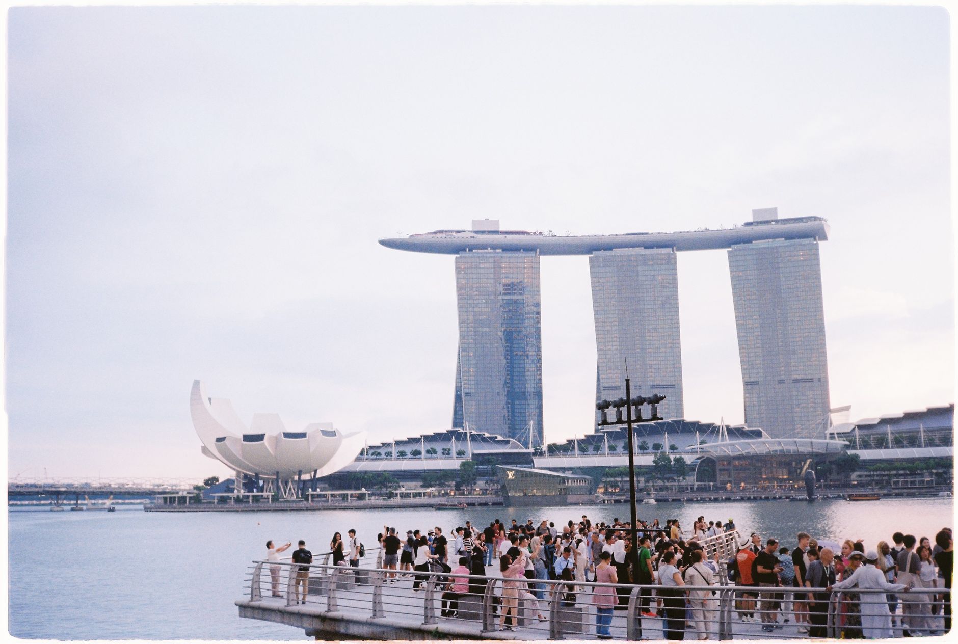
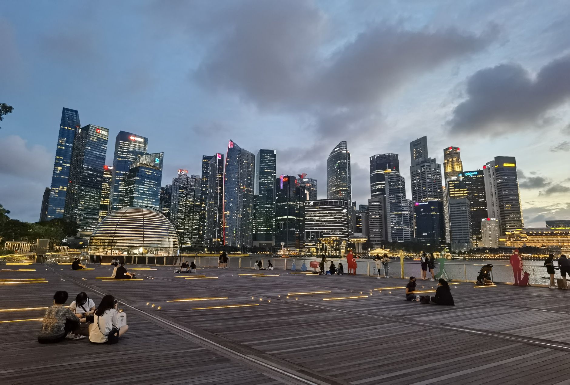
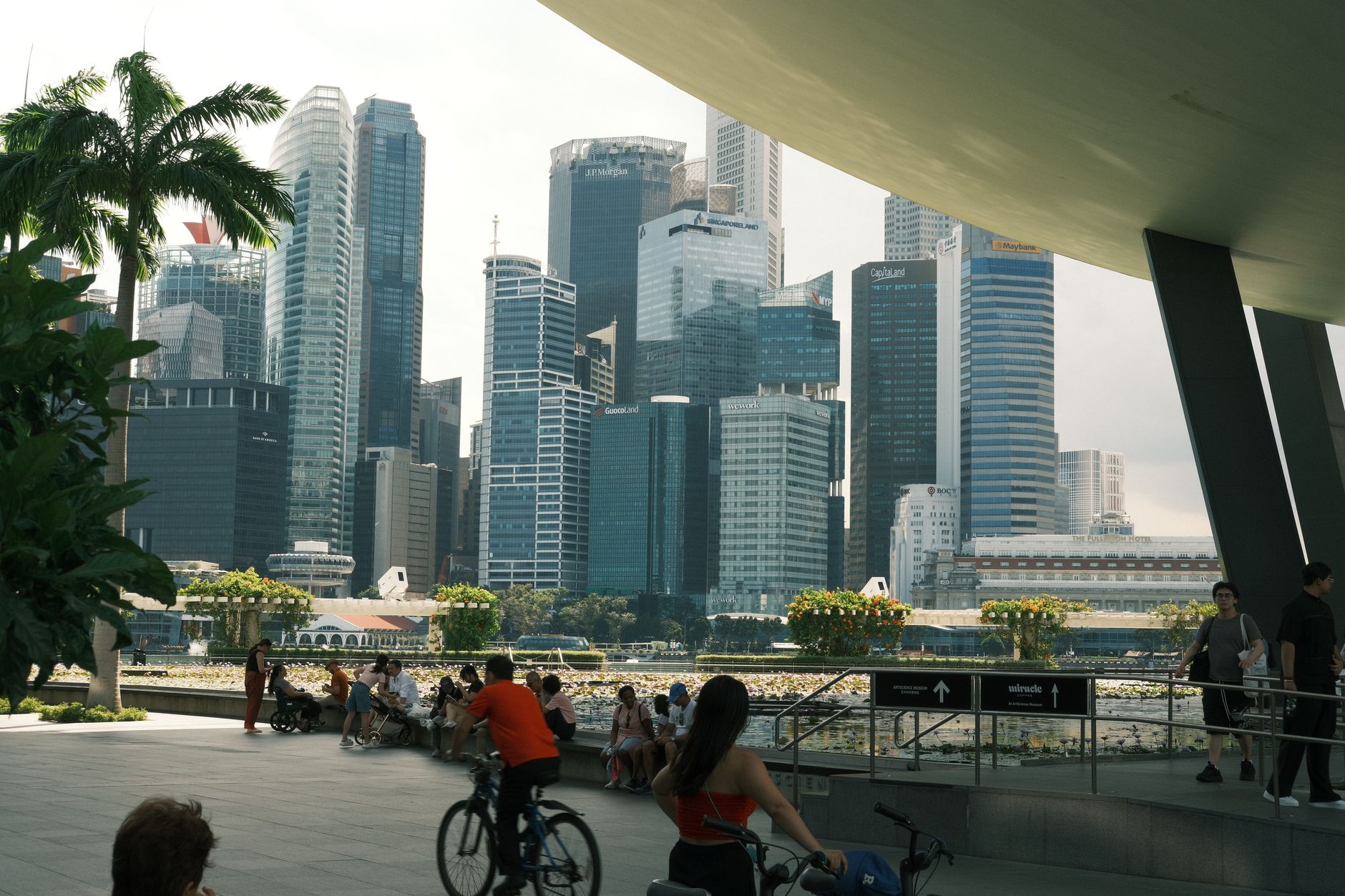
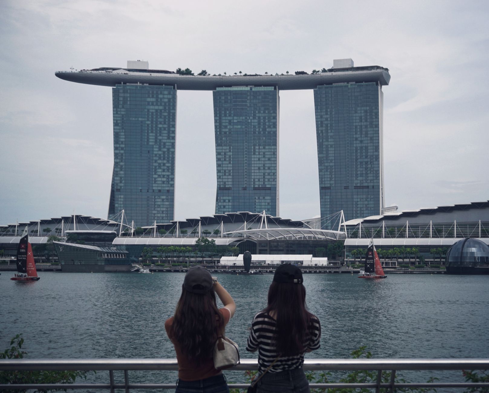
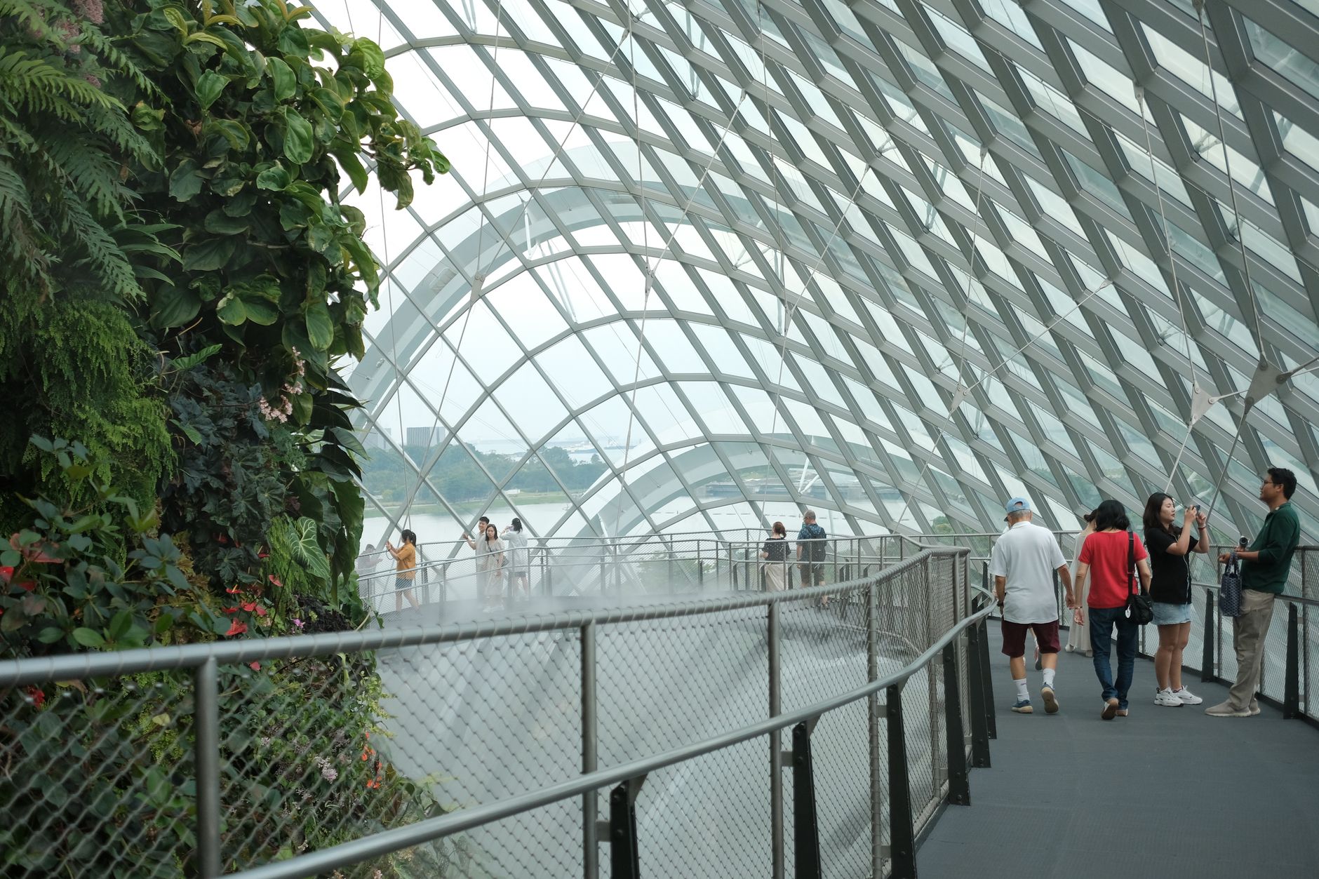
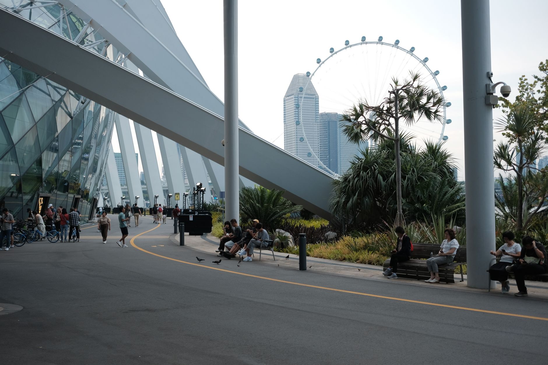
Marina Bay sits on land that didn't exist fifty years ago. The bay itself is freshwater now, sealed off from the sea by a barrage where four rivers meet, and the 360 hectares of reclaimed ground around it hold some of the most photographed skyline in Asia — Moshe Safdie's three-tower Marina Bay Sands with its improbable rooftop pool, the durian-domed Esplanade, the Merlion's familiar eight-metre silhouette.
What the photographs don't show is how walkable it all is. An almost unbroken network of covered paths and second-storey links connects the towers, the waterfront promenade, and the MRT stations beneath — useful when the afternoon heat arrives, which it does reliably.
How Marina Bay came to be
In the 1990s, before any of this existed, the reclaimed ground around the bay was open enough for kite-flying and weekend football. The land itself dates from a reclamation project that began in 1971 and finished in 1992, with a final 38 hectares added at Bayfront in 1994. The long-term vision was first written down in the URA's 1983 Master Plan; by 1984, the government had already commissioned architects Kenzo Tange and I. M. Pei to propose ideas for a new downtown on the water.
The pace of change accelerated in 2008 when Marina Barrage converted the tidal basin into a freshwater reservoir, and again in 2010 when Marina Bay Sands opened — at S$8 billion, then the world's most expensive standalone casino development. The district effectively came of age within a single decade.
Who and what shaped it
People who shaped it
Landmark buildings
See Marina Bay in motion
Plan your visit
On the map
When to go
Singapore sits close to the equator and Marina Bay offers little natural shade beyond its covered walkways — temperatures hover around 30–32 °C year-round with high humidity. The northeast monsoon (November to January) brings heavier rain, but showers here tend to be sharp and short rather than day-long; early mornings and evenings are the most comfortable times to be outdoors on the waterfront.
Right now
Background & history adapted from Wikipedia (CC BY-SA) · specs from Wikidata (CC0) · weather from Open-Meteo · map data © OpenStreetMap contributors · photos from Wikimedia Commons / Unsplash with per-image credit. No third-party reviews or social posts reproduced.