
Maracas Bay

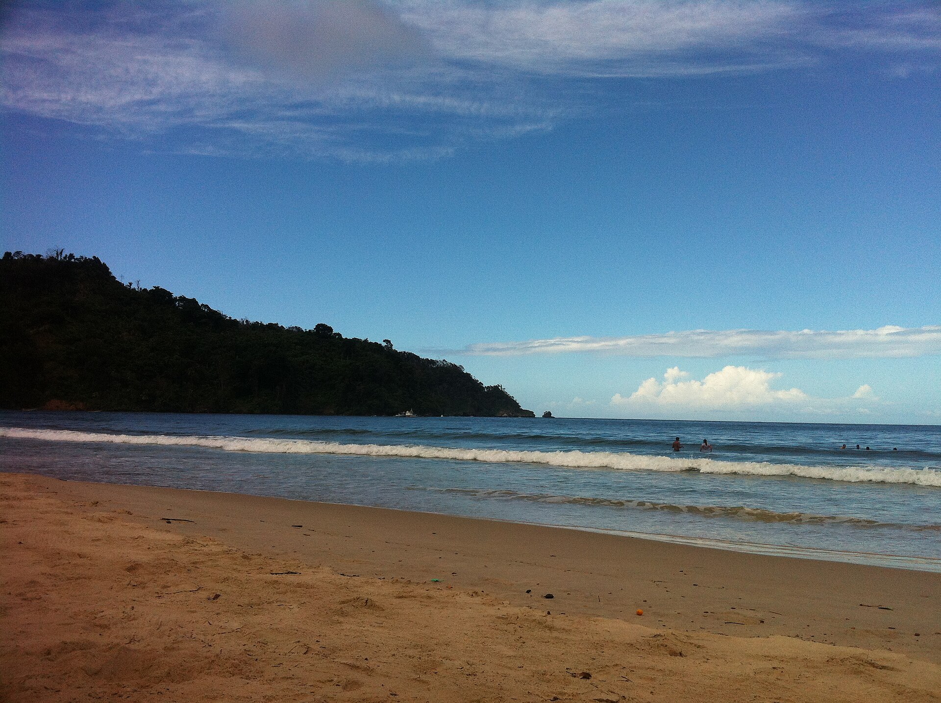
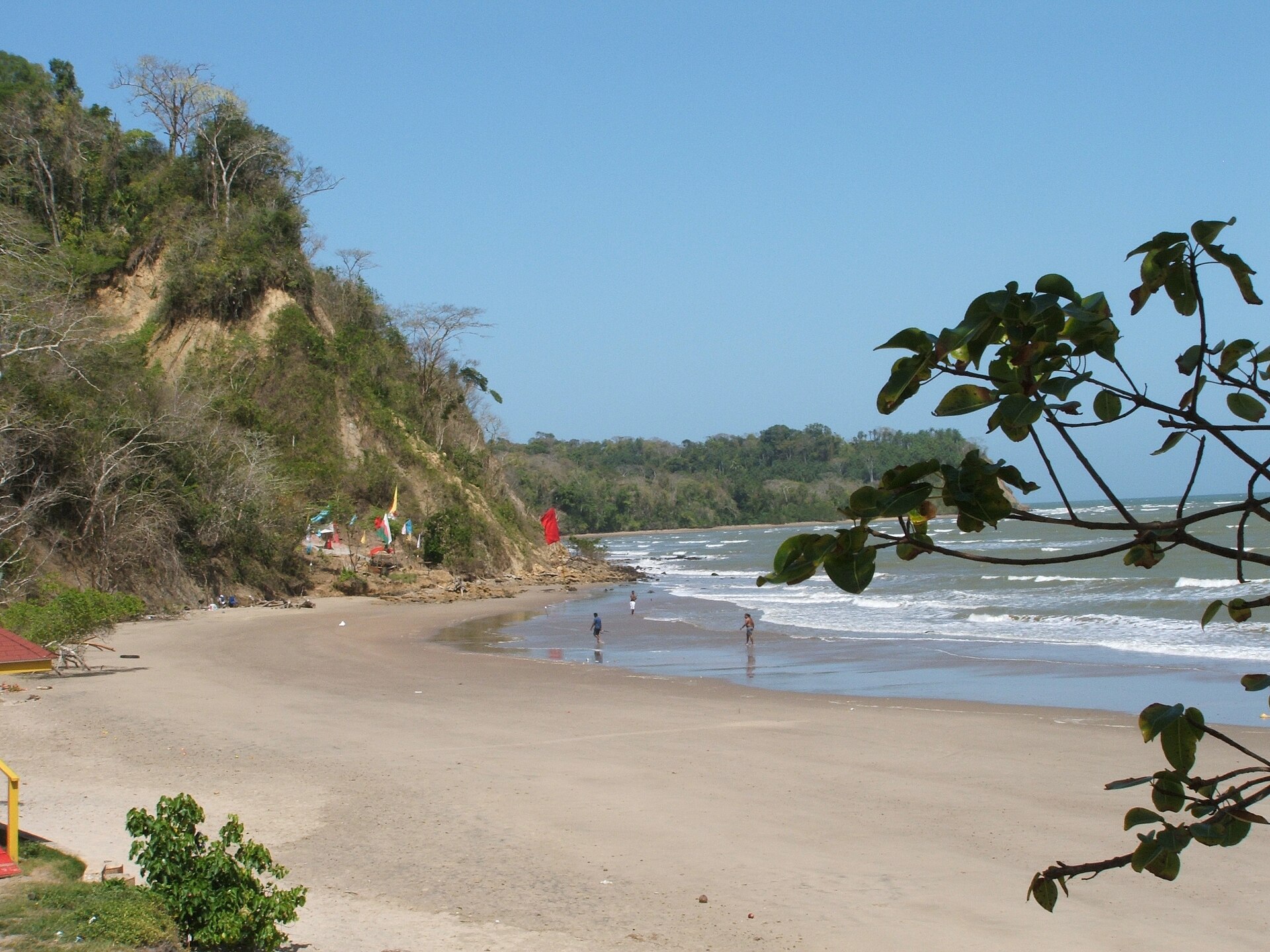
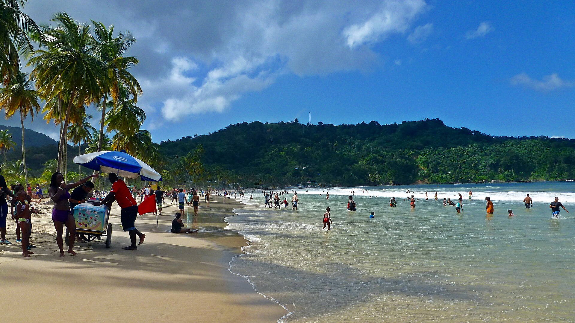
The road to Maracas Bay earns the beach before you reach it. You drive north out of Port of Spain, climb into the Northern Range through tight switchbacks and forest so dense it blocks the sky, and then the road tips downward and the Caribbean opens below you — two kilometres of off-white sand, palm trees, and blue-green water backed by steep green hills. Stop at the Maracas Lookout and take a photograph you won't quite believe later.
At the stalls near the car park, Richard's Bake and Shark is the name everyone mentions: fried shark in fried bread, loaded with sauces and toppings, for somewhere between TTD 60 and 80. On Sundays the beach fills with Trinidadians who treat it the way other cities treat a park — loud, familiar, entirely their own.
💛 What travellers fall for
Regulars tend to arrive early on weekdays, before the car park fills. Most skip the busier end of the beach and walk toward the eastern curve where the sand thins and the crowd does too. For a quieter day altogether, Las Cuevas — the next bay along the coast — is almost always calmer and draws a fraction of the traffic.
How Maracas Bay came to be
Before Spanish ships arrived in the late 15th century, Arawak and Carib peoples fished these waters and worked the fertile land behind the bay. The Spanish recognised the natural harbour early, and later the bay's seclusion made it useful to pirates and privateers working the Caribbean trade routes in the 17th and 18th centuries. Trinidad passed to Britain in 1797, and the region's next chapter was agricultural: cocoa estates spread across the Northern Range during the late 19th and early 20th centuries, bringing a different kind of prosperity to the hills above the coast.
The beach as most people know it today is a product of the Second World War. The United States Army Corps of Engineers built the road connecting Maraval, on Port of Spain's northern edge, to Maracas — infrastructure that turned an isolated bay into a reachable one, and set the pattern for everything that followed.
Who and what shaped it
Landmark buildings
See Maracas Bay in motion
Plan your visit
On the map
When to go
January through May is dry season and the most comfortable time to visit, with temperatures sitting in the low-to-mid 80s°F (around 28°C) and lower humidity. The rainy season runs May through November, peaking in September and October, though showers are often short and the sea stays warm year-round.
Right now
Background & history adapted from Wikipedia (CC BY-SA) · specs from Wikidata (CC0) · weather from Open-Meteo · map data © OpenStreetMap contributors · photos from Wikimedia Commons / Unsplash with per-image credit. No third-party reviews or social posts reproduced.