
Manuel Antonio
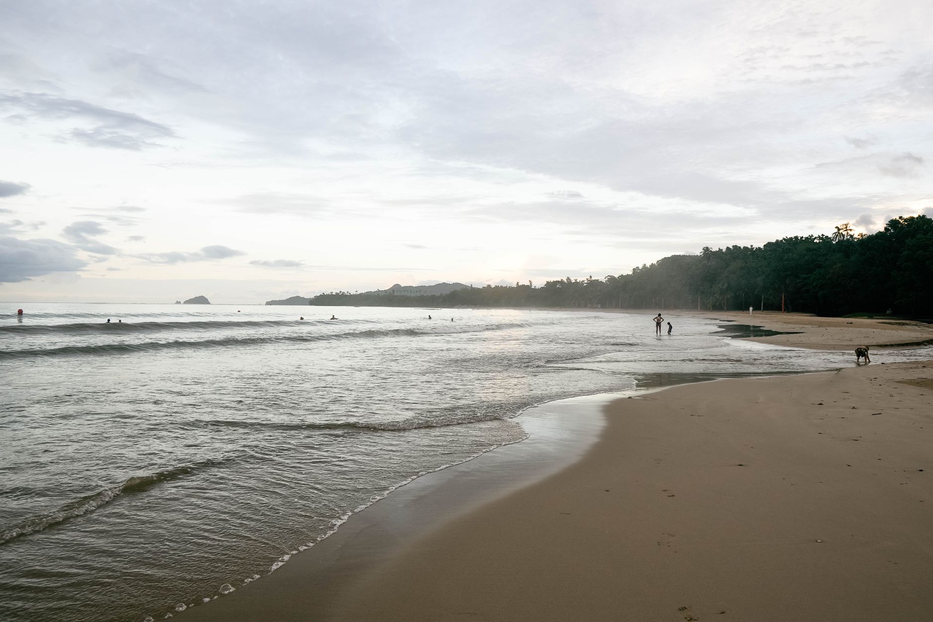

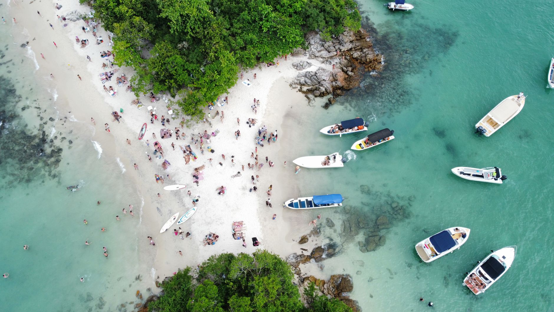
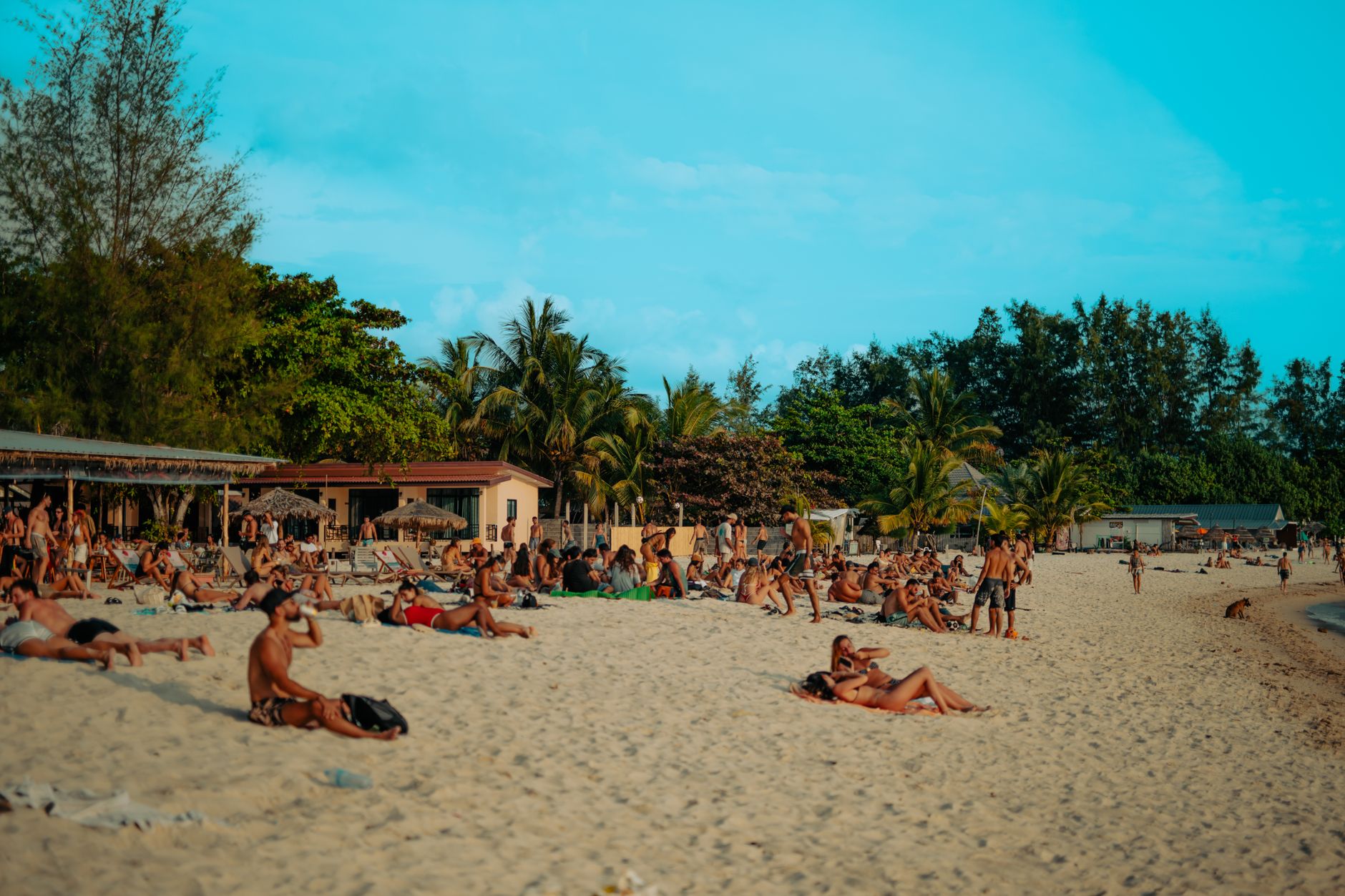

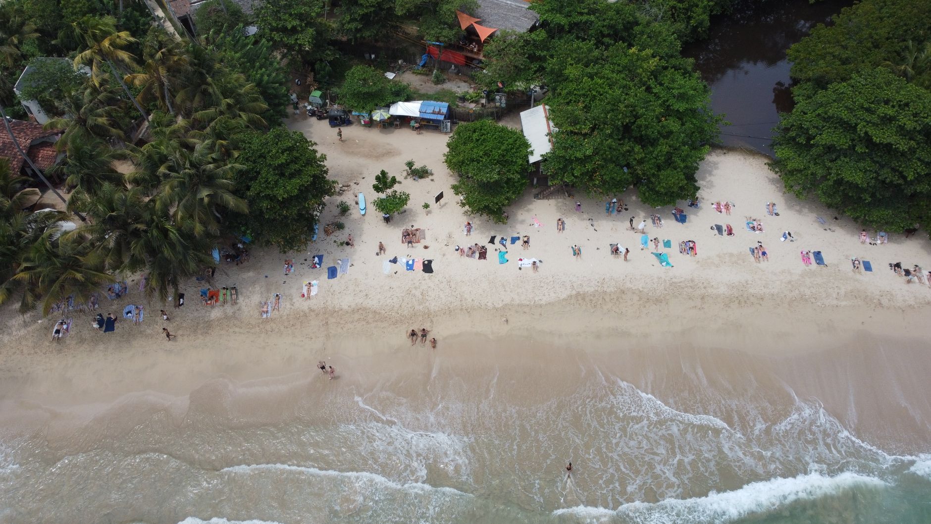
On the Pacific coast of Costa Rica, about 157 kilometres south of San José, Manuel Antonio is where jungle meets the ocean without much ceremony — white-sand beaches backed by dense forest, capuchin monkeys moving through the canopy overhead, and a rocky promontory called Punta Catedral that was once an island before sediment quietly attached it to the mainland. The national park at its centre is small by Costa Rican standards, but it holds an unlikely amount: three-toed sloths in the cecropia trees, mangroves covering 18 hectares of brackish water, and at low tide, the stone remains of an indigenous fish trap that has been catching the tide for centuries.
The town of Quepos, just north, is the practical base — restaurants, transport connections, places to stay at every price point. The park itself is the reason most people come, and it rewards a slow morning far more than a rushed afternoon.
How Manuel Antonio came to be
People have lived along this stretch of coast since at least 950 BC, when the Quepoa settled here. Spanish ships first sighted the coastline in 1519 under Hernán Ponce de León, and by 1563 Juan Vázquez de Coronado had established Spanish dominion over it. For centuries the land changed hands quietly, until the American-owned United Fruit Company arrived and turned the region into banana plantation country. That era ended abruptly in the mid-1950s when natural disasters degraded the land.
What followed was a community-driven act of preservation. In 1972, local residents pushed to establish Manuel Antonio National Park, fighting off foreign landowners who had blocked beach access for locals. Environmental coordinator Javier Herrera later put it plainly: the park's founding "was an achievement of the people, brave people, not the government." Tourism has been the region's economic backbone ever since Quepos stepped back from its role as a shipping port in the 1980s.
Who and what shaped it
People who shaped it
Landmark buildings
See Manuel Antonio in motion
Plan your visit
On the map
When to go
Temperatures stay close to 28°C year-round, with the dry season running December through April — February is the driest month and March the warmest, making that stretch the most reliably sunny window for visiting. The rainy season (May to November) brings heavy afternoon downpours, especially in August, but mornings are often clear and the forest turns a deeper green.
Right now
Background & history adapted from Wikipedia (CC BY-SA) · specs from Wikidata (CC0) · weather from Open-Meteo · map data © OpenStreetMap contributors · photos from Wikimedia Commons / Unsplash with per-image credit. No third-party reviews or social posts reproduced.