
Manaslu Conservation Area
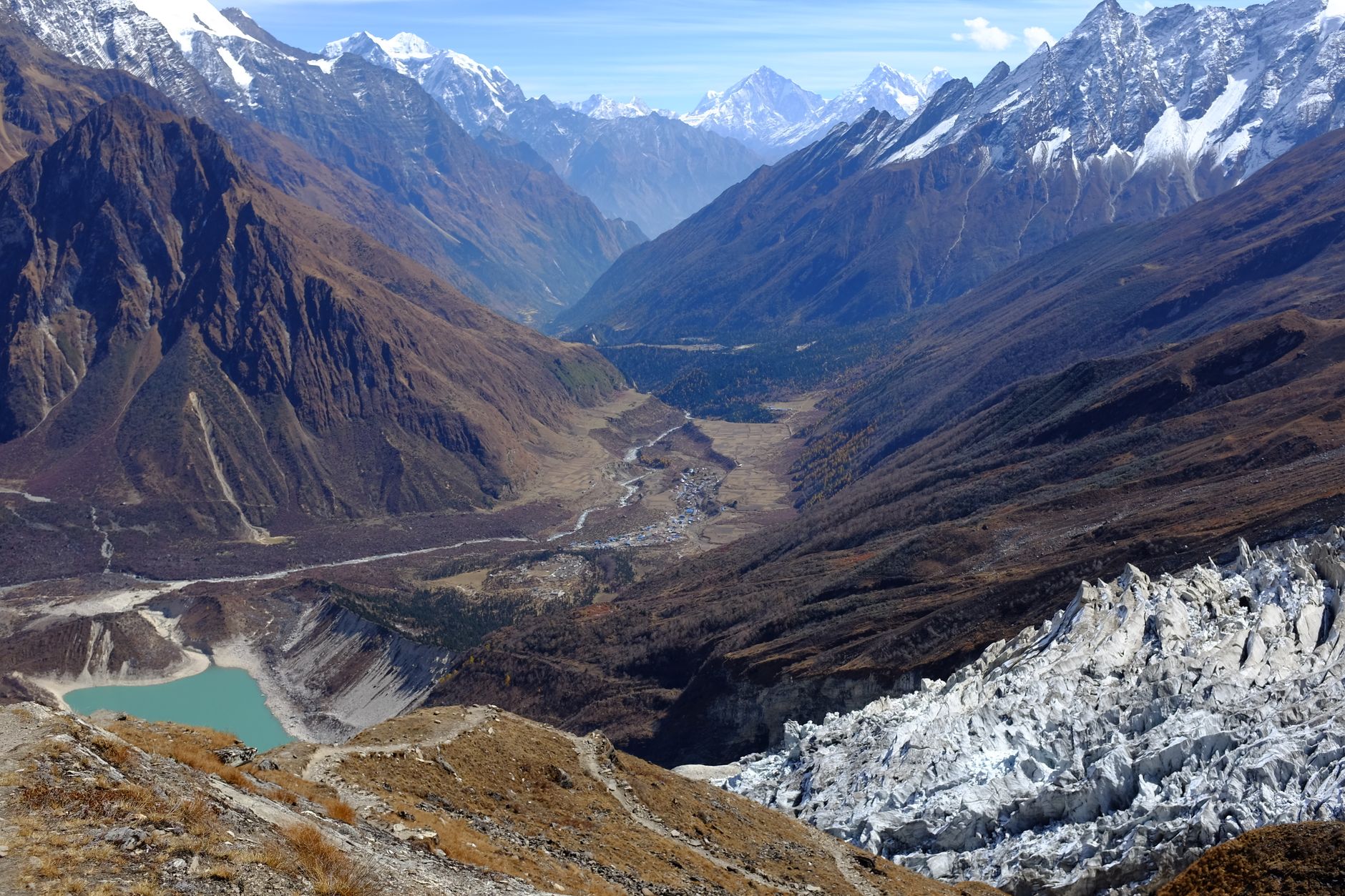
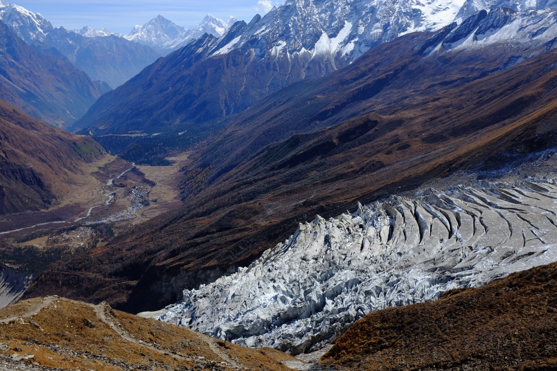
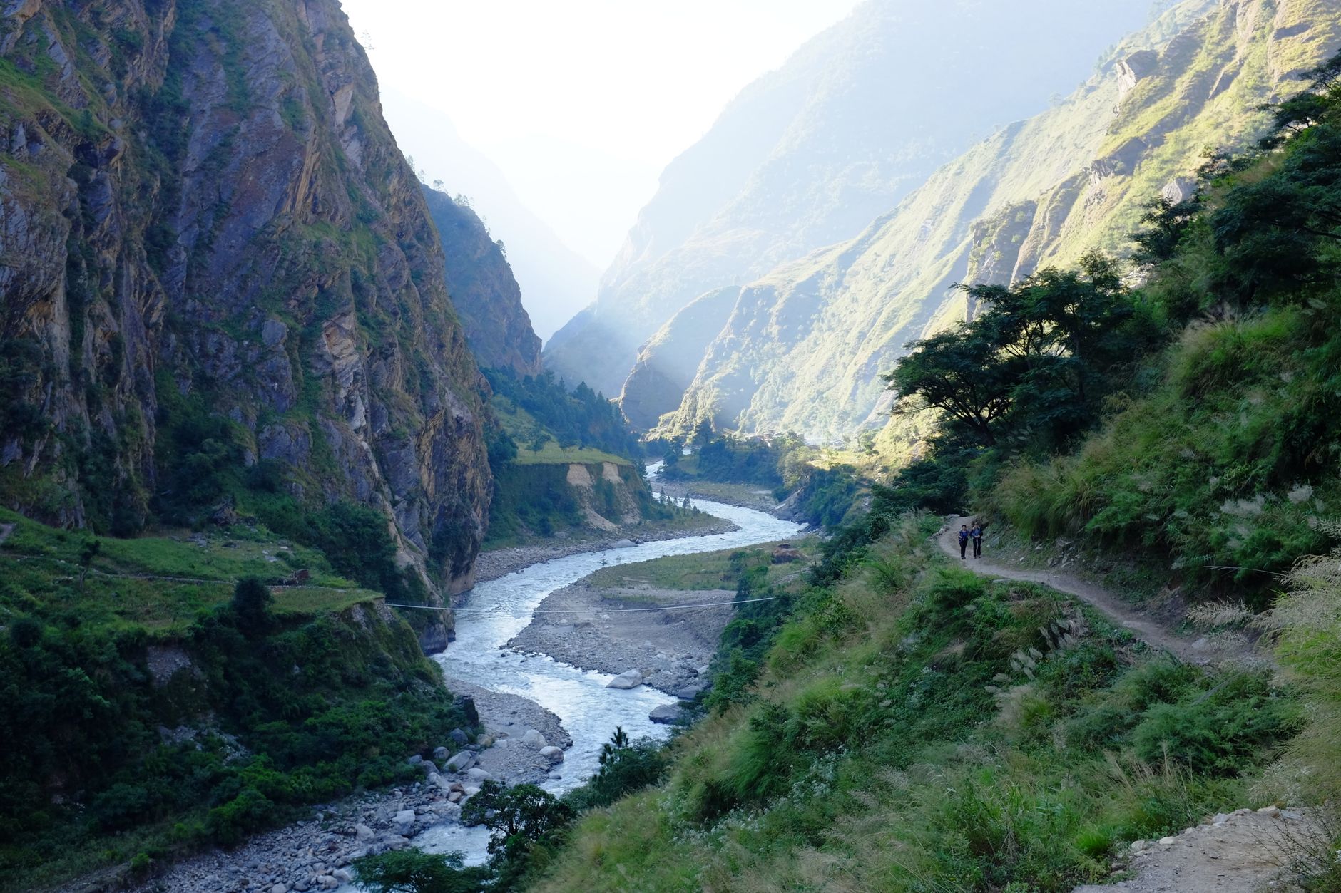
The Manaslu Conservation Area is organised around a single, enormous fact: the eighth-highest mountain on earth rises from its centre at 8,156 metres, and almost everything here — the trails, the villages, the monasteries, the glacial lakes — orients itself around that presence. The Budhi Gandaki River threads through the region for roughly 150 kilometres, and the classic circuit follows it upstream before crossing Larkya La Pass at 5,106 metres.
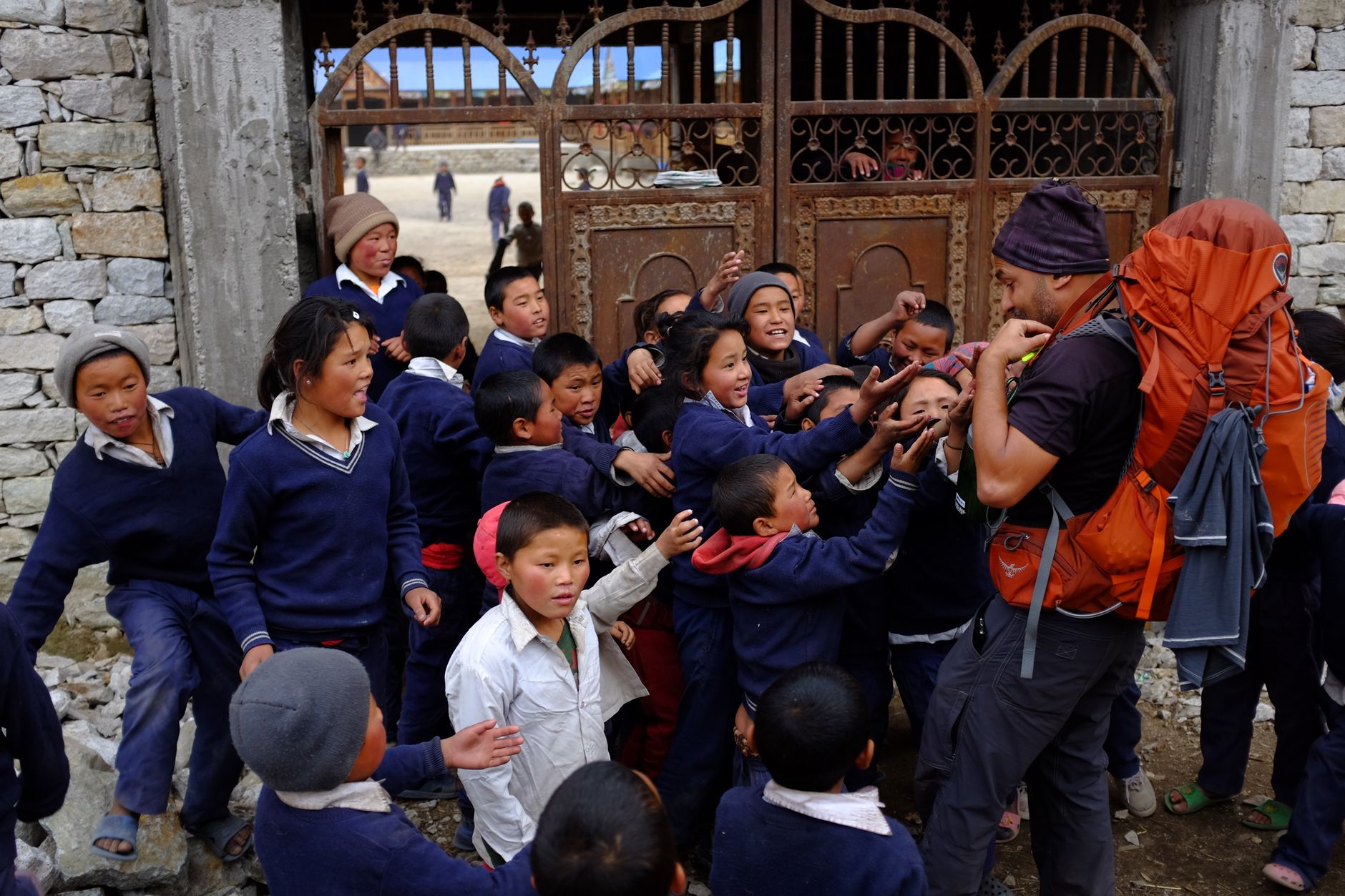
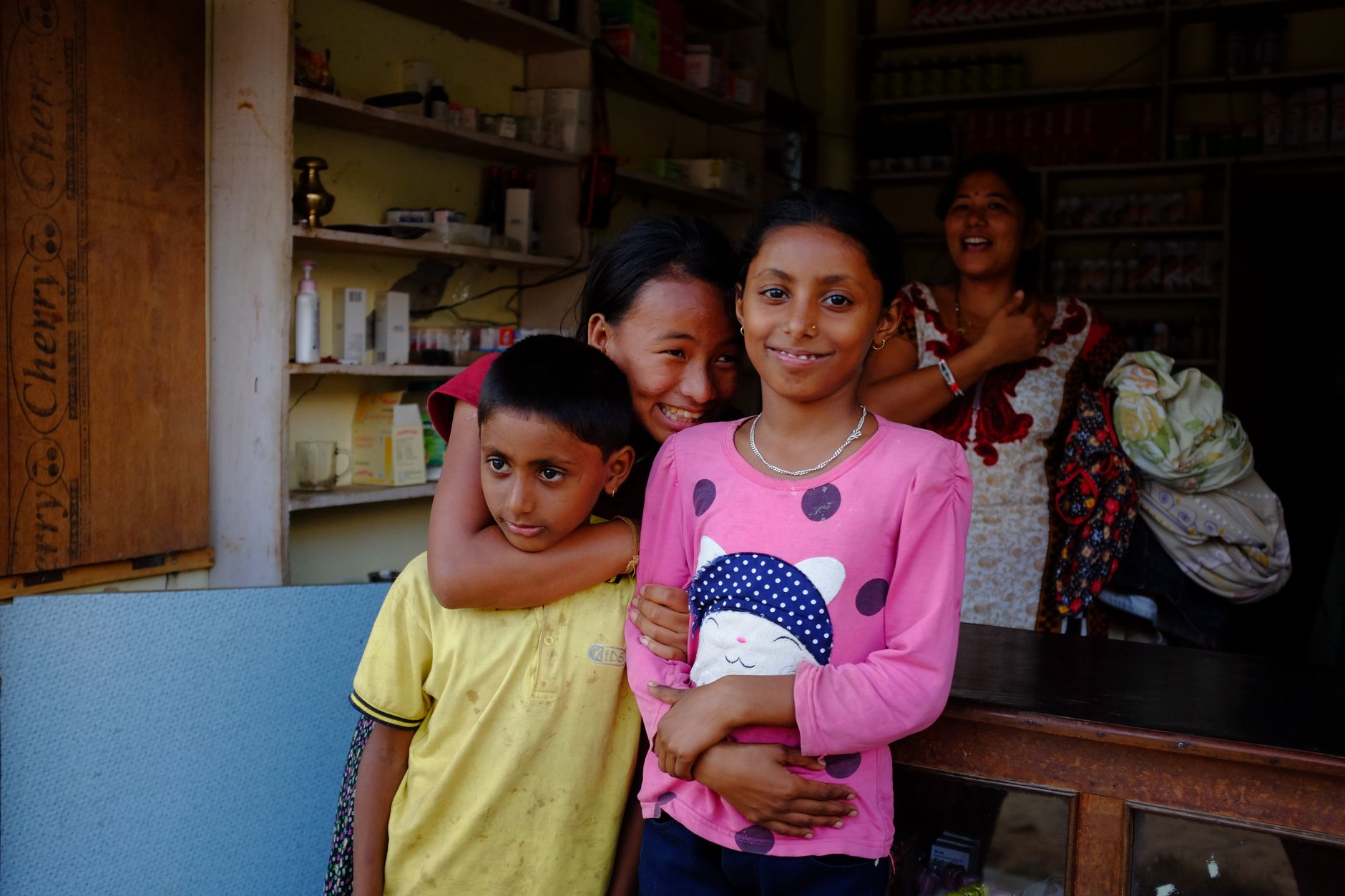
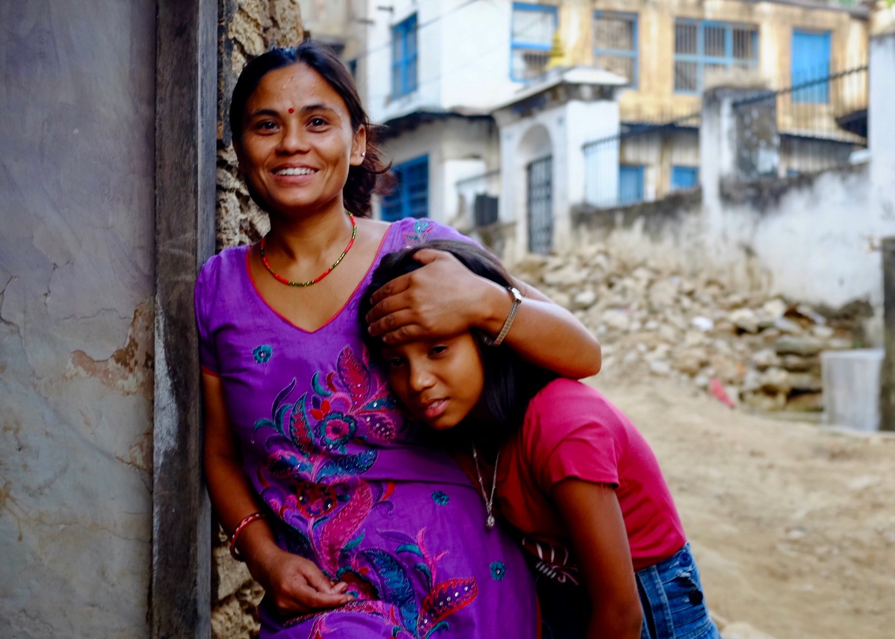
About 9,000 people live inside the conservation area — Gurungs, Tamangs, and communities of Tibetan origin whose Buddhist practice has shaped the landscape as much as the geology has. Lamas at monasteries like Rachen, Mu, and Shringi Gompas have long discouraged violence against wildlife, and the effect on animal populations here is measurable.
How Manaslu Conservation Area came to be
Before 1998, the valleys here absorbed the damage quietly: unregulated logging accelerated through the 1980s as roads penetrated deeper into the hills, and hunting and unmanaged trekker growth added pressure with no institutional check. The National Trust for Nature Conservation began work through its Manaslu Ecotourism Development Project in 1997, and on December 28, 1998 the conservation area was formally established.
The government handed management to NTNC for an initial ten-year term. When that period ended, local communities and the District Development Committee of Gorkha asked for an extension — a renewal that said something about how the arrangement had landed. The project phase wrapped up in 2001; the recovery it set in motion is still visible in the forests and the wildlife.
Who and what shaped it
People who shaped it
Landmark buildings
See Manaslu Conservation Area in motion
Plan your visit
On the map
When to go
October and November offer the clearest skies and the most stable conditions on the trail — cold at altitude but reliably dry. Spring (March to May) is the second window, with rhododendrons in bloom at lower elevations; monsoon from June through September brings heavy rain, leeches on the lower paths, and frequent cloud cover over the high passes.
Right now
Background & history adapted from Wikipedia (CC BY-SA) · specs from Wikidata (CC0) · weather from Open-Meteo · map data © OpenStreetMap contributors · photos from Wikimedia Commons / Unsplash with per-image credit. No third-party reviews or social posts reproduced.