
Managua
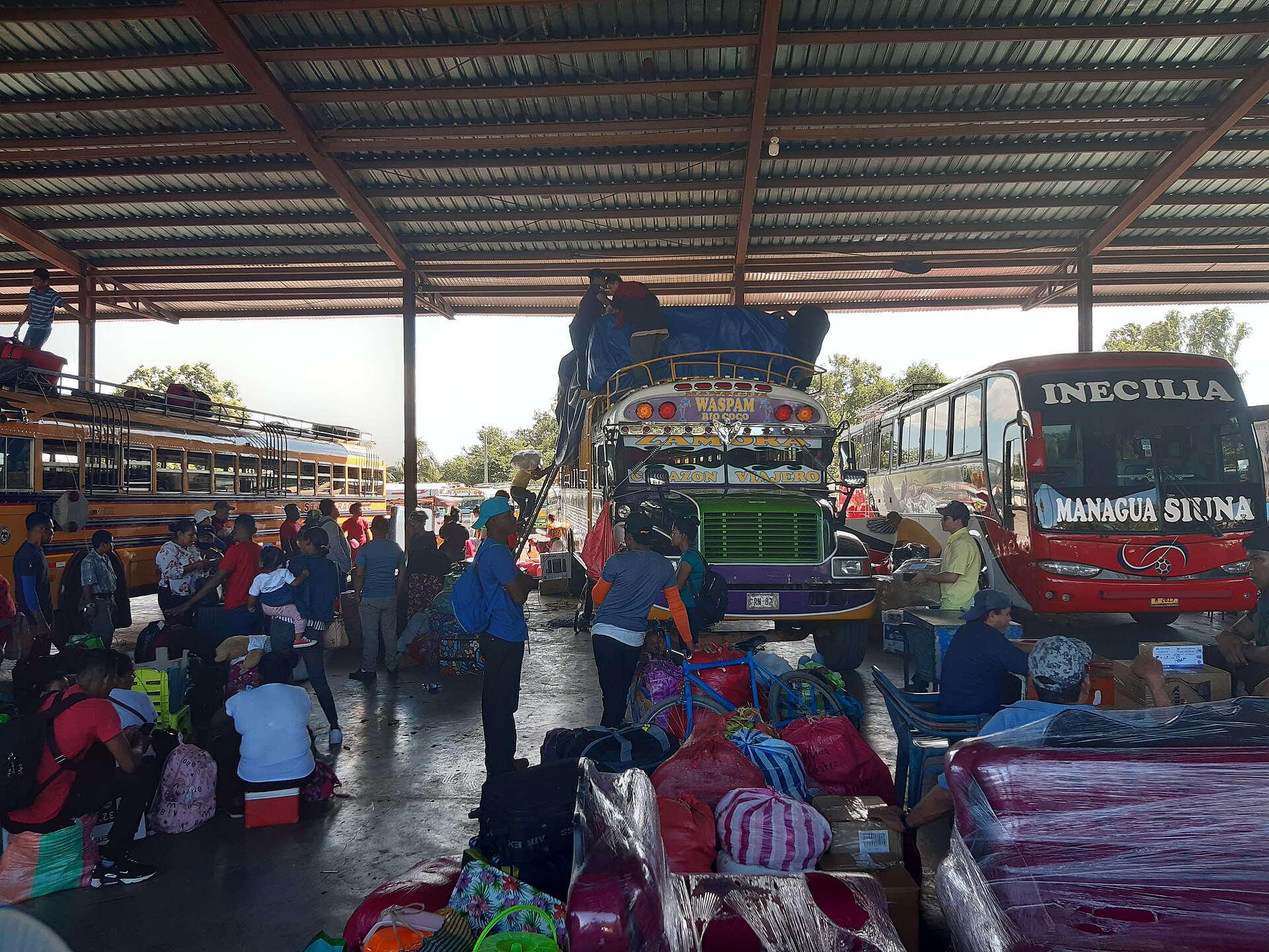
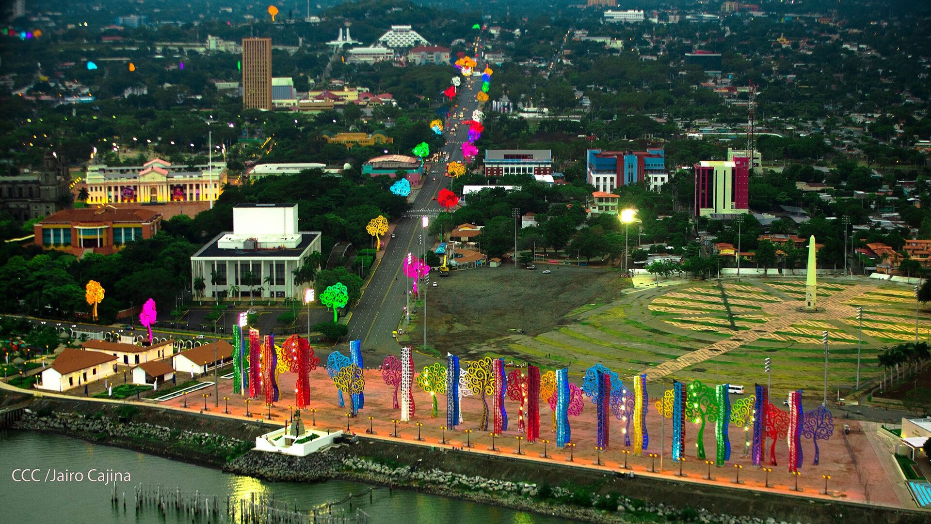
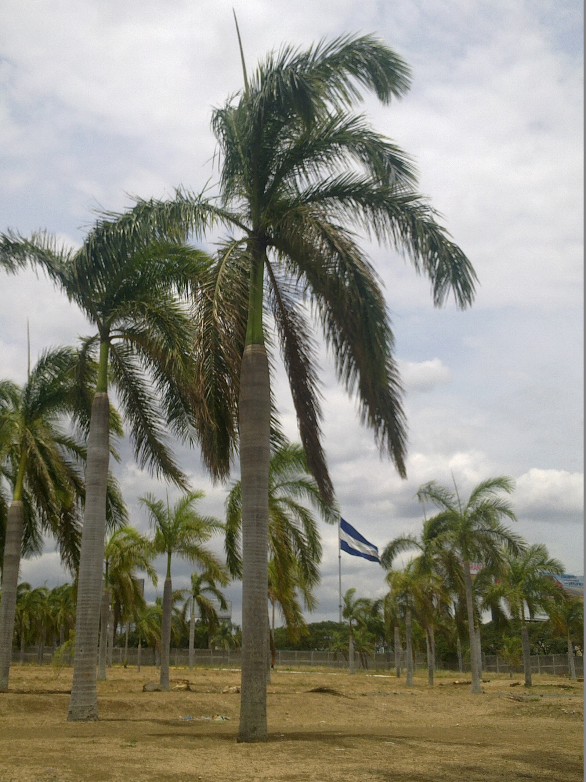
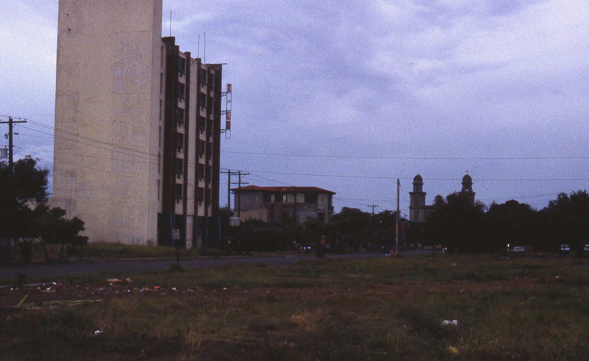
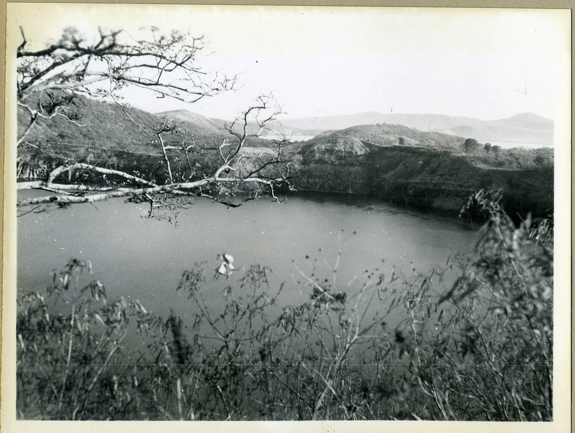
Managua doesn't make itself easy to read. Streets here go largely unnamed — you navigate by landmarks, by memory, by the logic of a city rebuilt so many times it stopped numbering its corners. What you find instead is a capital shaped by rupture and reinvention: the ruined shell of the old cathedral still standing on the lakeshore, a new one crowned with cupolas earning the nickname "La Chichona" from the people who live beside it, and an 18-metre steel silhouette of Sandino watching over everything from Loma de Tiscapa.
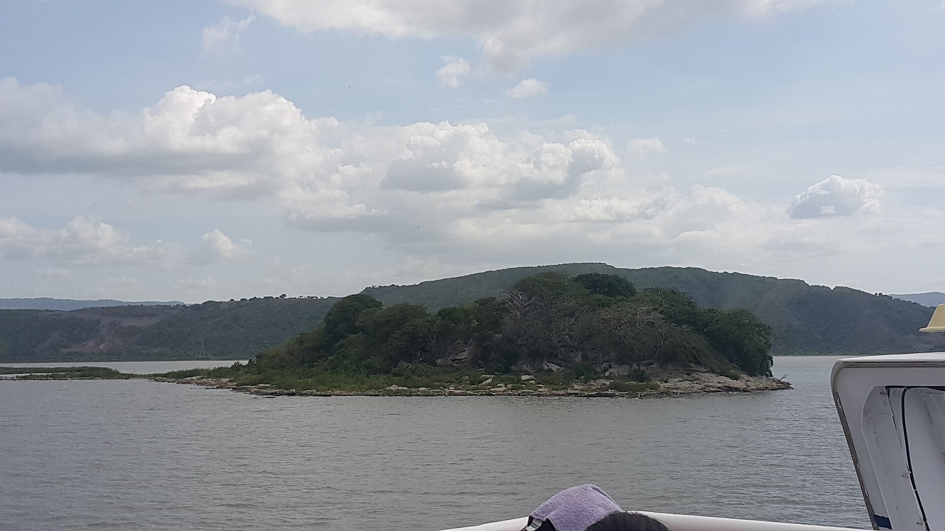
Spend a day walking the historic centre around Plaza de la Revolución and you cover geology, politics and poetry in a few blocks. The lake is always at the edge of things — wide, grey-green, orienting.
How Managua came to be
Managua became Nicaragua's capital in 1852 not because anyone loved it most, but because it sat between León and Granada — two cities whose rivalry made either one an impossible choice. The compromise held, and the town that had been a pre-Columbian fishing settlement on Lake Managua, incorporated in 1819 as Leal Villa de Santiago de Managua, grew steadily through the late 19th and early 20th centuries.
Then the earthquakes. The 1931 quake reshaped the city; the 1972 earthquake destroyed roughly 90 percent of it. Each time, Managua rebuilt around different plans and different politics — which is why its centre feels less like a historic district than an archaeology of interrupted attempts. In 2007 it became the first Central American capital declared free of illiteracy, a fact that sits alongside the ruins as part of the same unfinished story.
Who and what shaped it
People who shaped it
Landmark buildings
See Managua in motion
Plan your visit
On the map
When to go
Nicaragua has a dry season roughly from November through April — the more comfortable window for walking the city's open plazas and lakefront. May through October brings rain, often in heavy afternoon downpours, with heat and humidity climbing through the wet months.
Right now
Background & history adapted from Wikipedia (CC BY-SA) · specs from Wikidata (CC0) · weather from Open-Meteo · map data © OpenStreetMap contributors · photos from Wikimedia Commons / Unsplash with per-image credit. No third-party reviews or social posts reproduced.