
Malekula
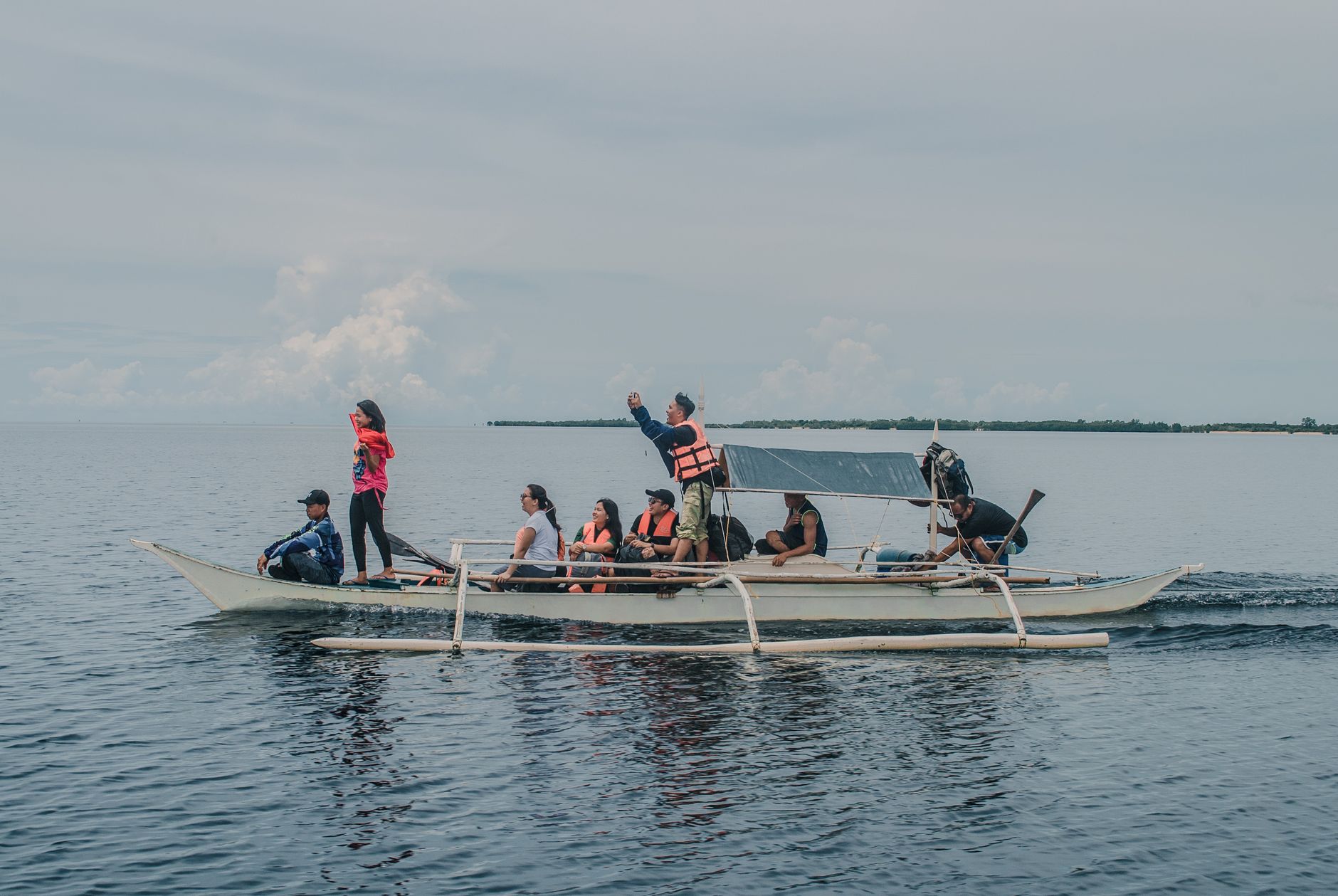
Malekula is the kind of island that resists easy summary. The second largest in Vanuatu, it holds more than thirty distinct languages within its coastlines — a linguistic density that hints at just how long, and how separately, its communities have lived. The interior is rugged enough that around 1,500 people still make their lives there, largely apart from the 25,000 or so along the coast. Lakatoro, the provincial capital on the northeastern shore, is where the wharf, the market, the bank and the Air Vanuatu office all sit — the island's practical centre, modest in scale but useful to know.
What draws people here is harder to package than a reef or a ruin. It's the texture of daily life across villages that have held onto their own languages, ceremonies and ways of reckoning time. The old cannibal sites in the northern bush are real, though at many of them the bones have long since been buried. The Maskelyne Islands off the east coast offer coral reefs and sand beaches if you need a day of stillness between longer overland stretches.
💛 What travellers fall for
People who've been more than once tend to say the same thing: pack light, and mean it. The small aircraft serving Norsup and Lamap enforce a 16kg checked bag limit without much flexibility. They also say to build in extra days on either end — boats get delayed, sometimes by days, and the island rewards the traveller who isn't watching a clock.
Deals in Malekula
Book directly at the provider


How Malekula came to be
Spanish navigator Pedro Fernández de Quirós was the first European to sight Malekula, in 1606. James Cook followed in 1774 on his second Pacific voyage. By the late 19th century, both Britain and France were pressing competing claims across the New Hebrides, and in 1906 the two powers formalised their awkward arrangement as an Anglo-French Condominium — a joint colonial administration that locals sometimes called the 'Pandemonium' for its contradictions.
On 30 July 1980, Vanuatu gained independence and Malekula became part of the newly formed Malampa Province. Between 1914 and 1915, British anthropologist John Layard lived on the island, recording languages, ceremonies and more than 400 photographs — a body of fieldwork that remains one of the more detailed early accounts of Malekulan life. German painter Ingo Kühl later made expeditions to indigenous ceremonies on the island, work that fed into a 2002 exhibition at the National Museum of Vanuatu in Port Vila.
Who and what shaped it
People who shaped it
Landmark buildings
See Malekula in motion
Plan your visit
On the map
When to go
July through September brings the most agreeable conditions — daytime temperatures around 26°C, nights cooling to 19°C, and the lowest rainfall of the year, though even then you can expect rain on roughly half the days in a given month. The wet season runs November through March, and January and February carry a real risk of hurricanes.
Right now
Background & history adapted from Wikipedia (CC BY-SA) · specs from Wikidata (CC0) · weather from Open-Meteo · map data © OpenStreetMap contributors · photos from Wikimedia Commons / Unsplash with per-image credit. No third-party reviews or social posts reproduced.