
Makgadikgadi Pans
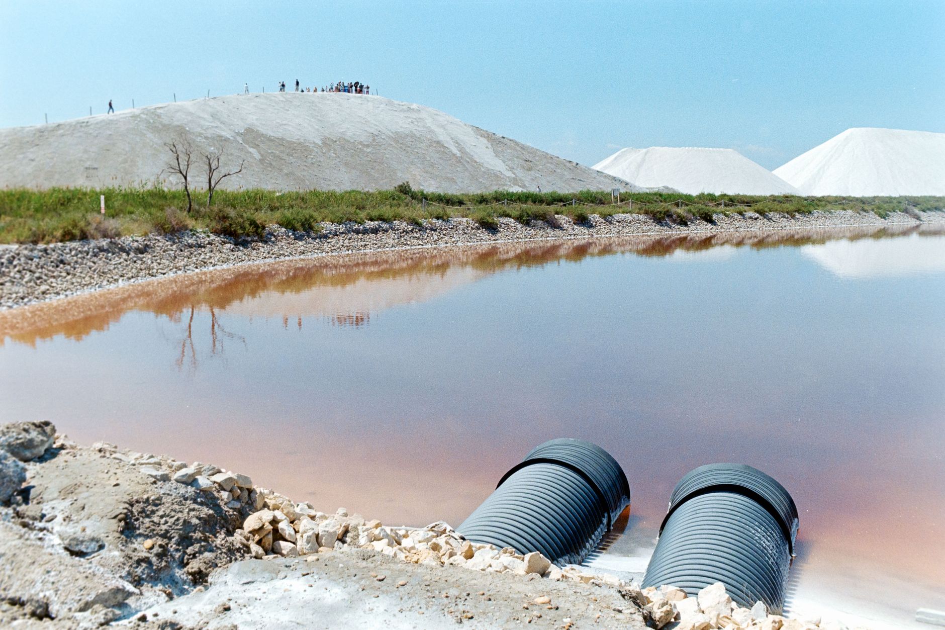
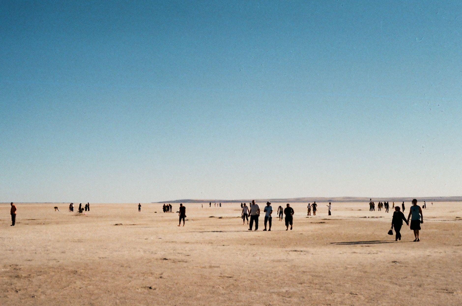
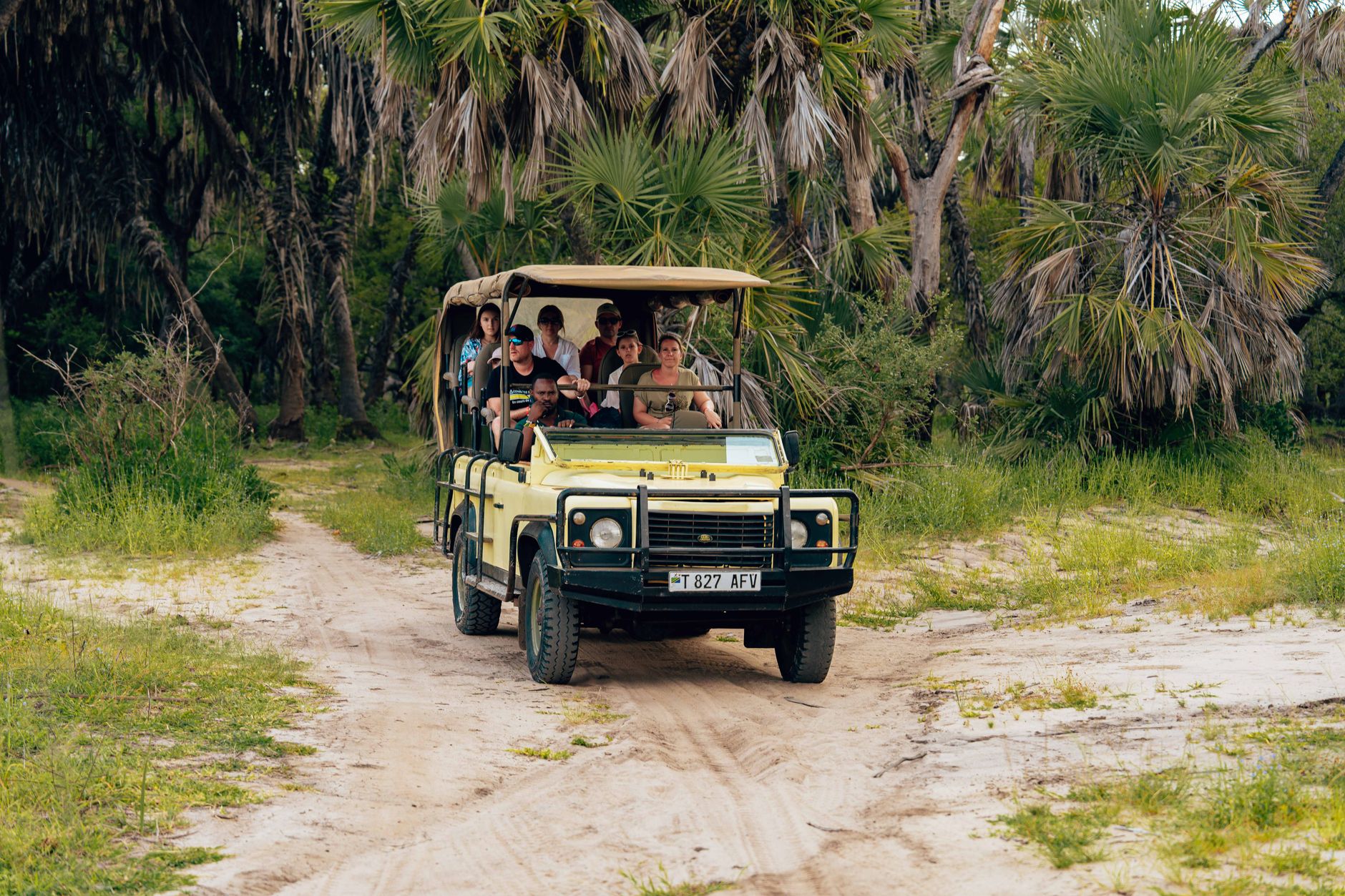
Stand on Ntwetwe Pan on a still morning and the horizon disappears entirely — salt and sky merge into a single white plane that plays tricks on distance and scale. The Makgadikgadi Pans, spread across northern Botswana, form one of the largest salt flat systems on earth, a remnant of an ancient inland sea that once rivalled the Caspian in size. Three great pans — Sowa in the south, Ntwetwe in the middle, Nxai in the north — hold the bones of that vanished world.
This is not a place that performs for you. The drama is quieter: flamingos breeding on Sowa's mineral shallows, ancient baobabs standing on granite islands like monuments to deep time, and a darkness at night so complete that the Milky Way looks structural.
How Makgadikgadi Pans came to be
Around two million years ago, this entire basin lay beneath Lake Makgadikgadi, an inland sea estimated at up to 275,000 square kilometres — fed by the Okavango, Zambezi, and Cuando rivers before tectonic shifts redirected them and a drying climate did the rest. What remained were salt flats, and the stone tools left by the people who lived beside the water: Acheulian hand-axes along the Boteti River, Middle and Late Stone Age implements scattered across Ngxaisini Pan. Mitochondrial DNA research suggests modern Homo sapiens may have begun to emerge in this region some 200,000 years ago, when it was still a landscape of lakes, marshes, and woodland.
By the Early Iron Age, settlements of the Toutswe tradition had taken root at Lekhubu, Tlapana, and Mmakgama. In the 19th century, the granite island of Kubu and the great baobabs of Nxai Pan became landmarks for explorers — Livingstone, Selous, the artist Thomas Baines — moving through a landscape that had already been shaped by human presence for longer than most of the world's civilisations have existed.
Who and what shaped it
People who shaped it
Landmark buildings
See Makgadikgadi Pans in motion
Plan your visit
On the map
When to go
The dry season, April through October, is when the pans are accessible and the wildlife concentrated. June, July, and August bring cool nights and daytime highs around 27°C — good conditions for long hours outdoors. The wet season (November–March) transforms the flats into a shallow mirror that is photogenic in theory and impassable in practice.
Right now
Background & history adapted from Wikipedia (CC BY-SA) · specs from Wikidata (CC0) · weather from Open-Meteo · map data © OpenStreetMap contributors · photos from Wikimedia Commons / Unsplash with per-image credit. No third-party reviews or social posts reproduced.