
Makarska Riviera
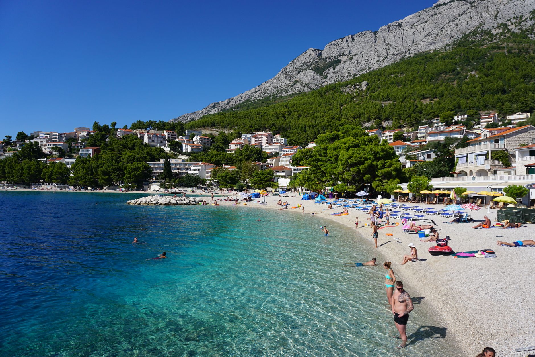
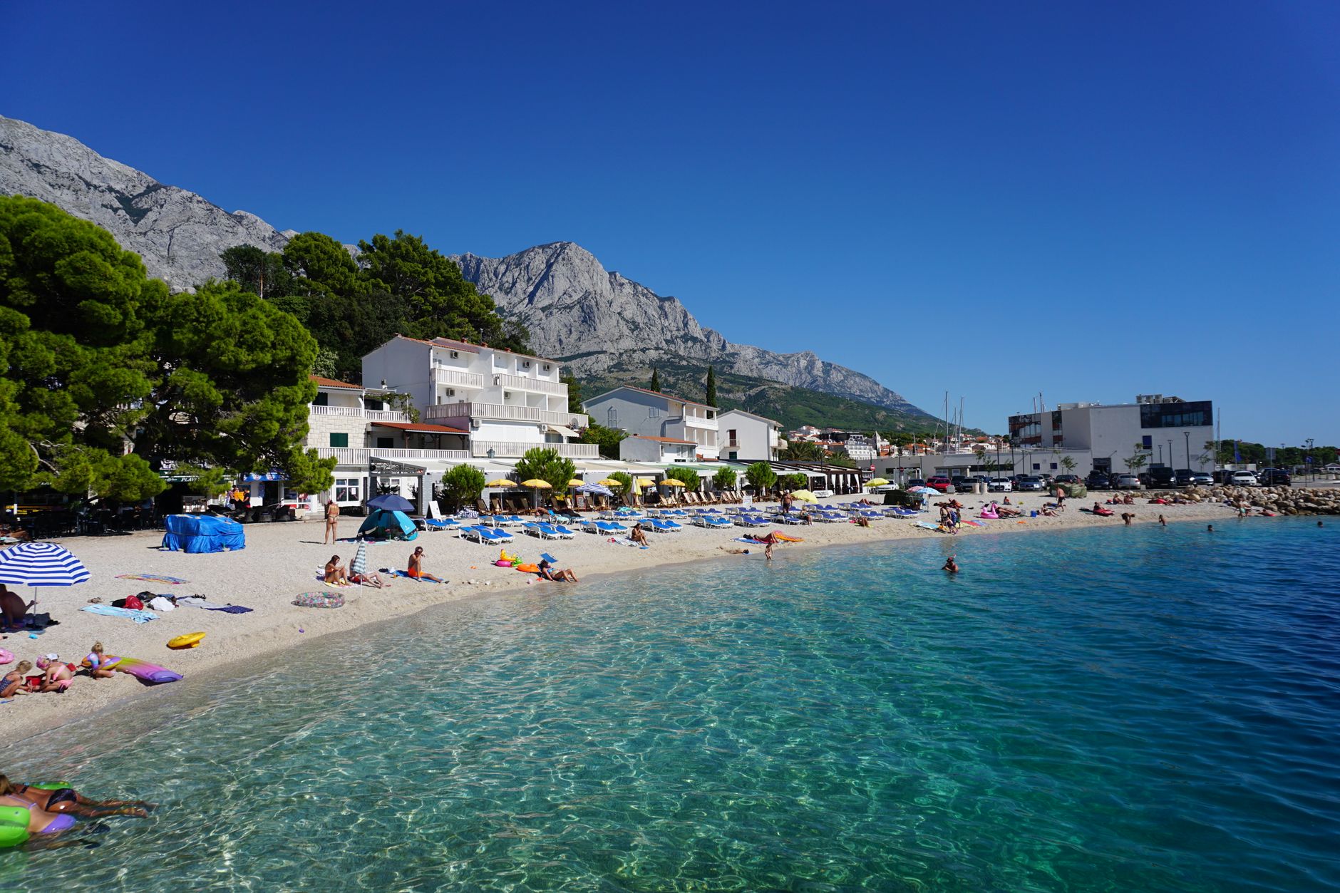
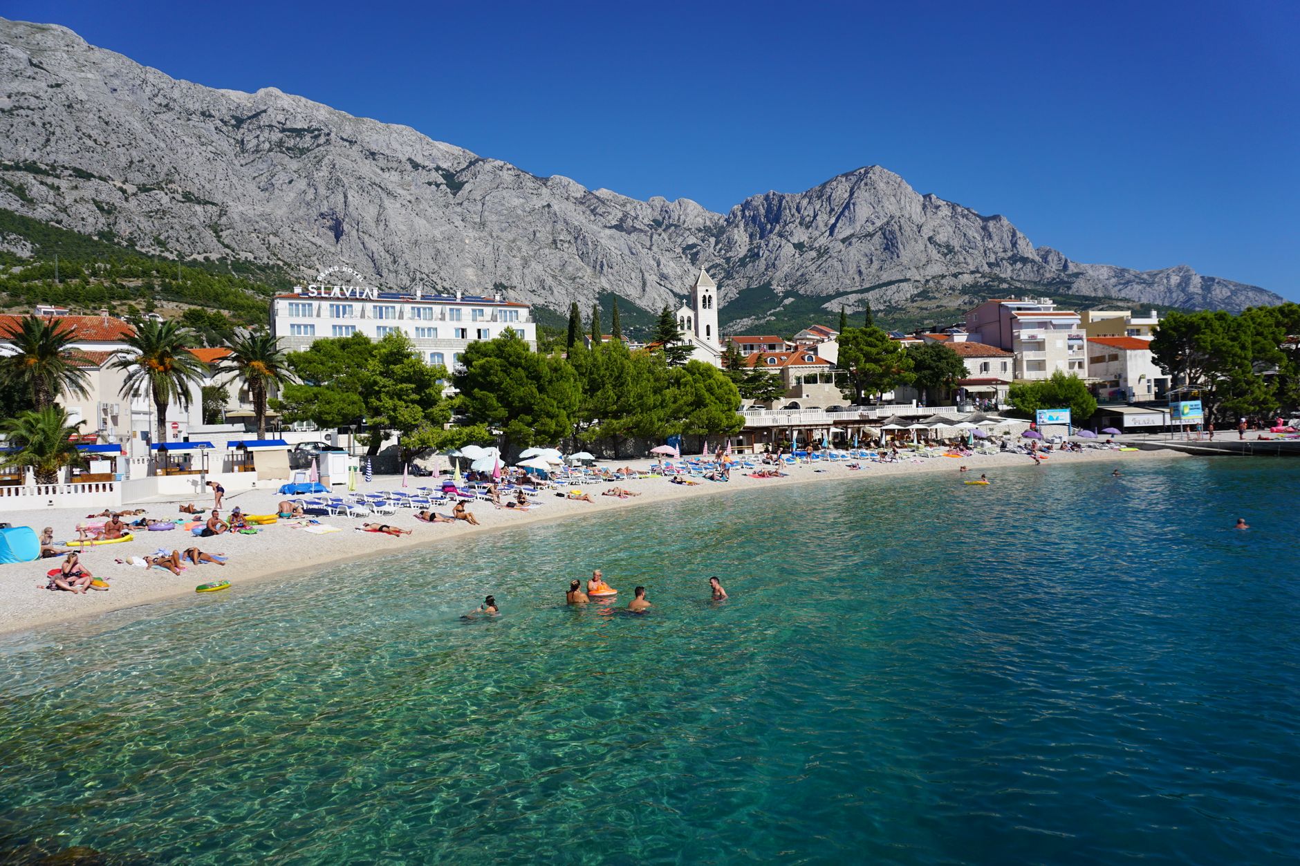
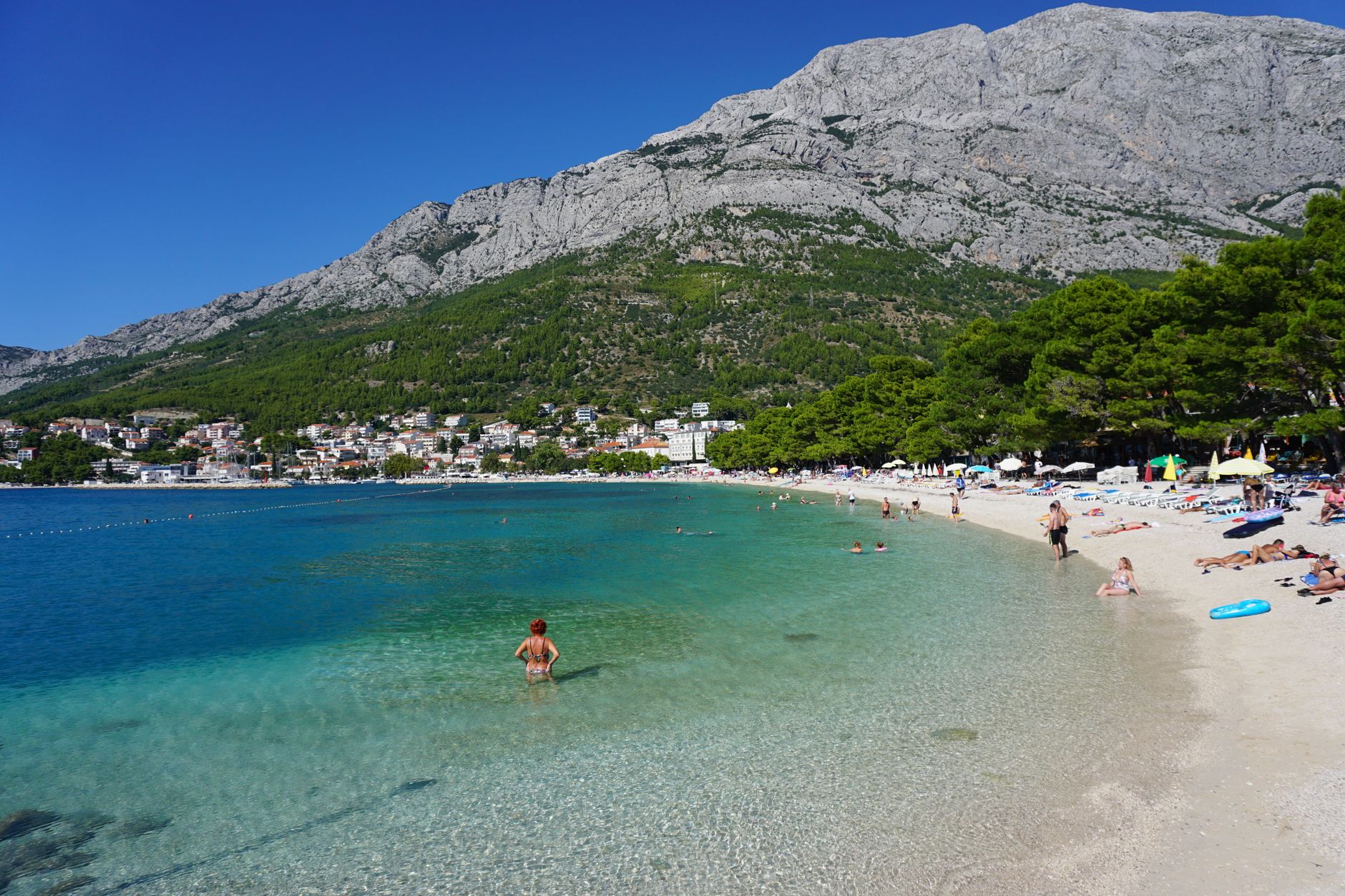
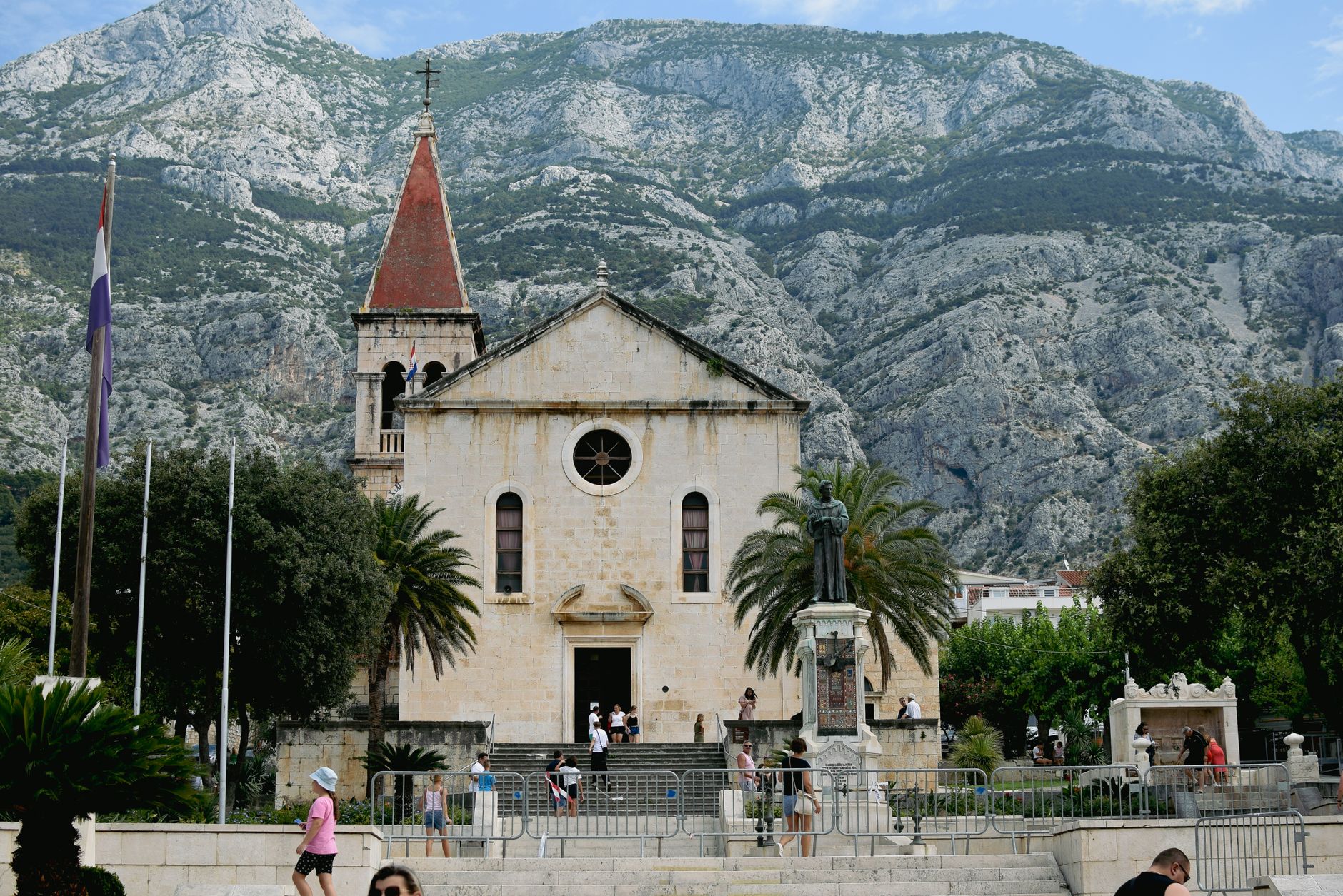
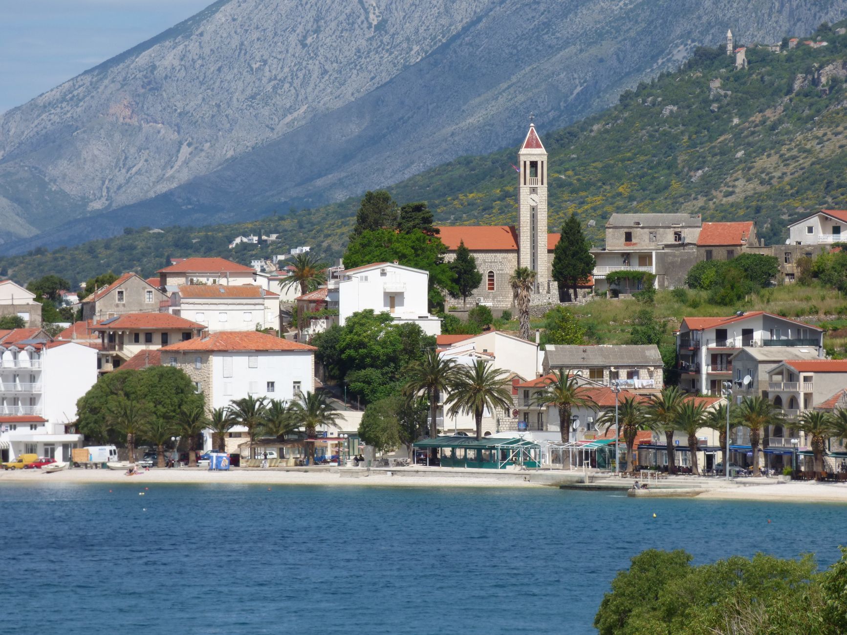
The Makarska Riviera runs for roughly sixty kilometres along the Dalmatian coast, pinched between the Adriatic and the limestone wall of Biokovo mountain — whose highest point, St. Jure, sits at 1,762 metres and can be staring down at you from a beach chair. That vertical drama is what sets this stretch apart from the rest of the Croatian coast: pebble coves and clear water on one side, a nature park of bare karst ridges on the other.
The riviera is a string of small towns and villages — Brela, Baška Voda, Makarska itself, Tučepi, Zaostrog — each with its own waterfront and pace. The infrastructure is well-worn and functional, the ferry to Brač island takes an hour, and the road connecting everything hugs the shoreline the whole way.
How Makarska Riviera came to be
People have been moving through this coast since the middle of the second millennium BC — it is thought to have been a waypoint for Cretan traders working the Adriatic amber routes. The region's Croatian character took shape in the 7th century, and by 1695 Makarska had become a bishop's seat, which brought enough stability for trade to follow.
The 19th century left two competing monuments almost side by side: a statue of the Franciscan poet Andrija Kačić Miošić, carved by sculptor Ivan Rendić, and a monument to French Marshal Marmont, raised in 1808 during the brief Napoleonic occupation that lasted from 1806 to 1813. The French came after the Treaty of Campo Formio handed the region to Austria in 1797 — the town changed hands several times in the space of a generation.
Who and what shaped it
People who shaped it
Landmark buildings
See Makarska Riviera in motion
Plan your visit
On the map
When to go
July is the peak, with average temperatures around 27°C and up to ten hours of daily sun — the coast is at full capacity and the mountain road into Biokovo queues. Spring and early September offer the same clear water with considerably fewer people and milder heat. January averages 6°C; the coast is quiet and some facilities close entirely.
Right now
Background & history adapted from Wikipedia (CC BY-SA) · specs from Wikidata (CC0) · weather from Open-Meteo · map data © OpenStreetMap contributors · photos from Wikimedia Commons / Unsplash with per-image credit. No third-party reviews or social posts reproduced.