
Machu Picchu
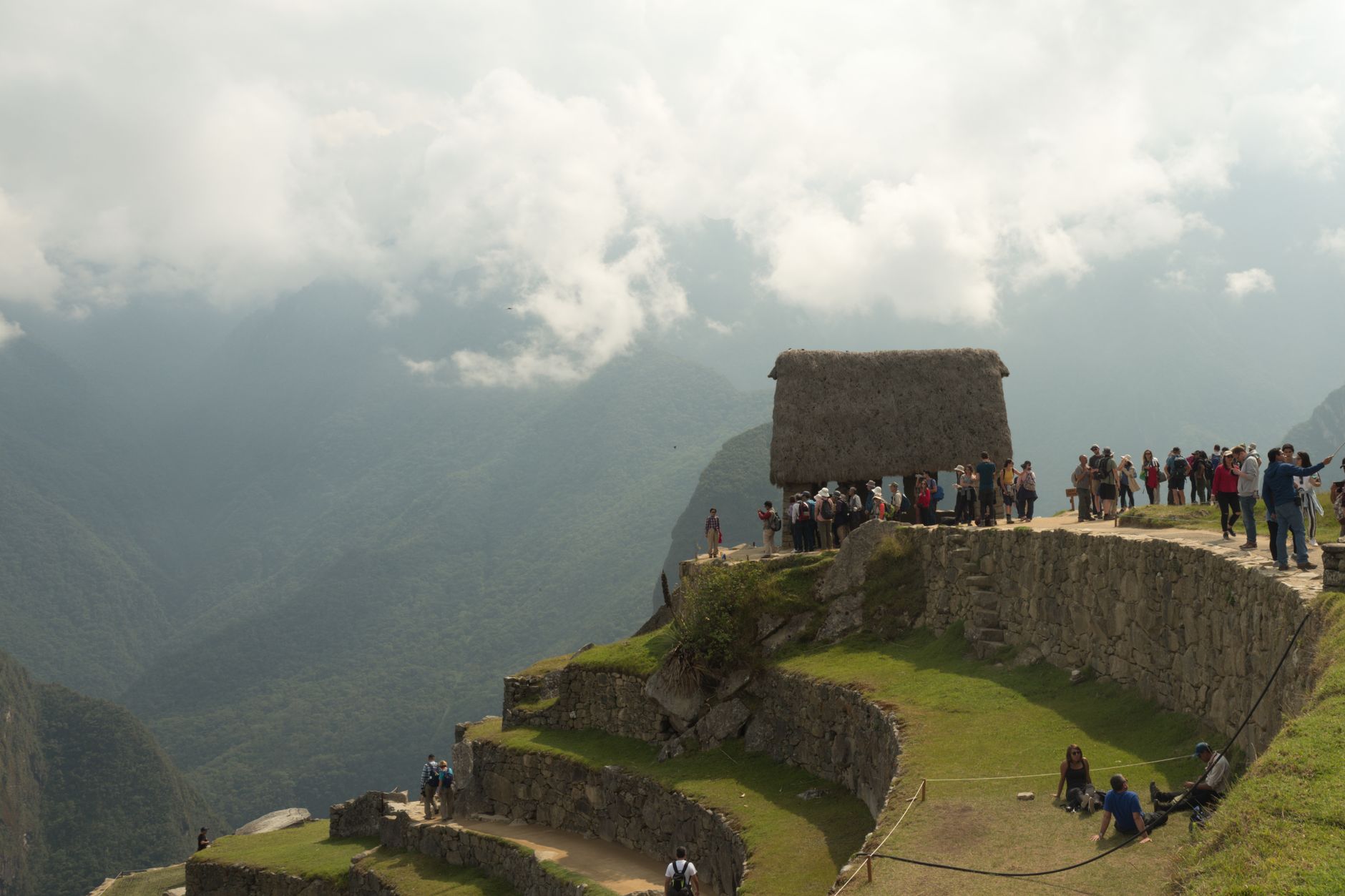
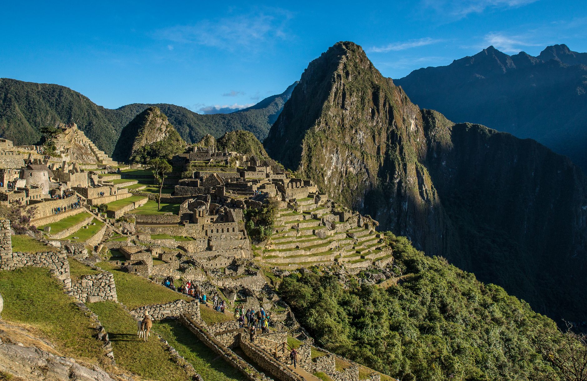
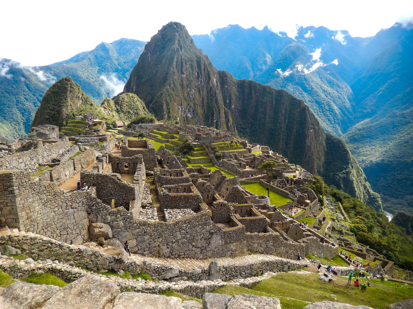
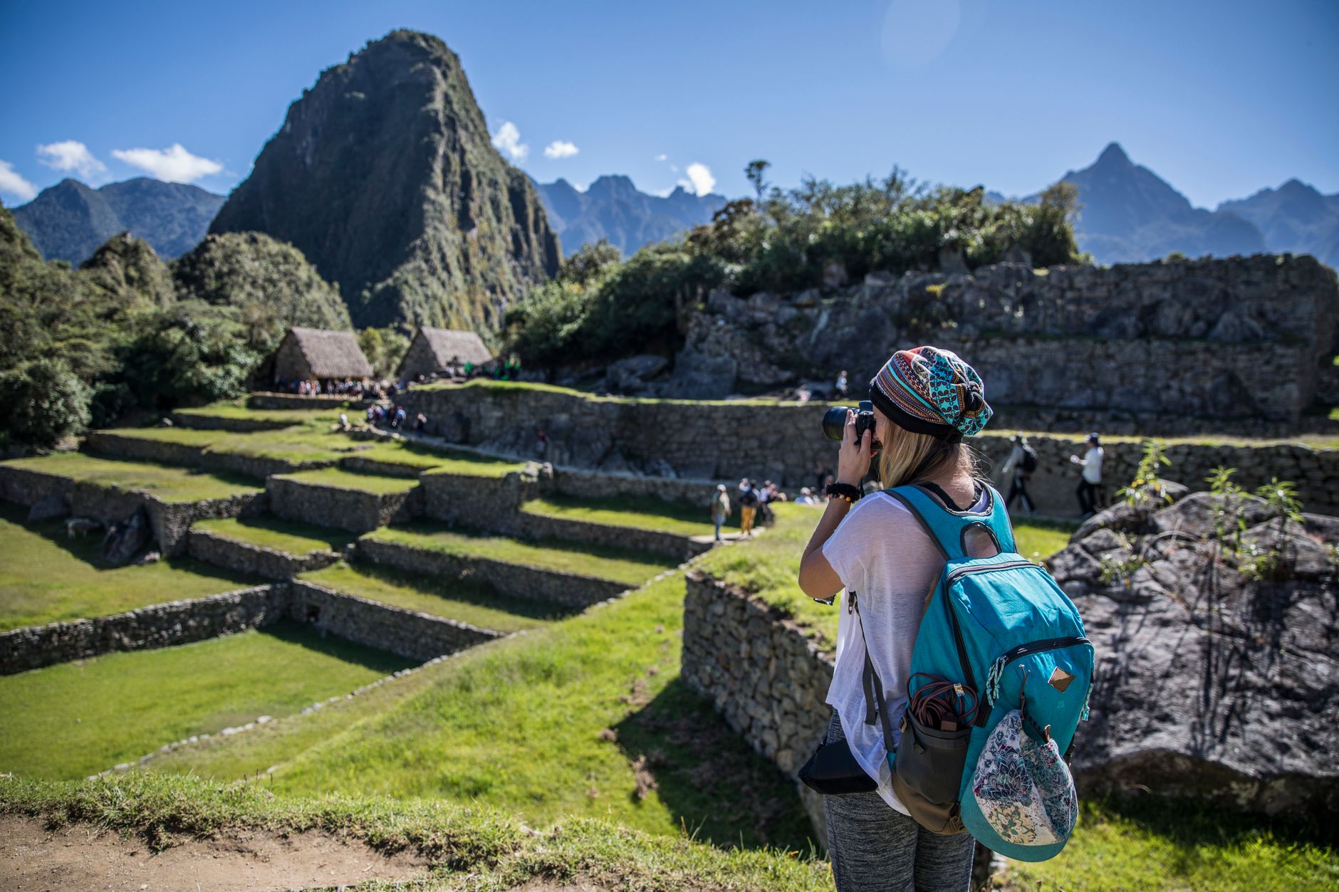
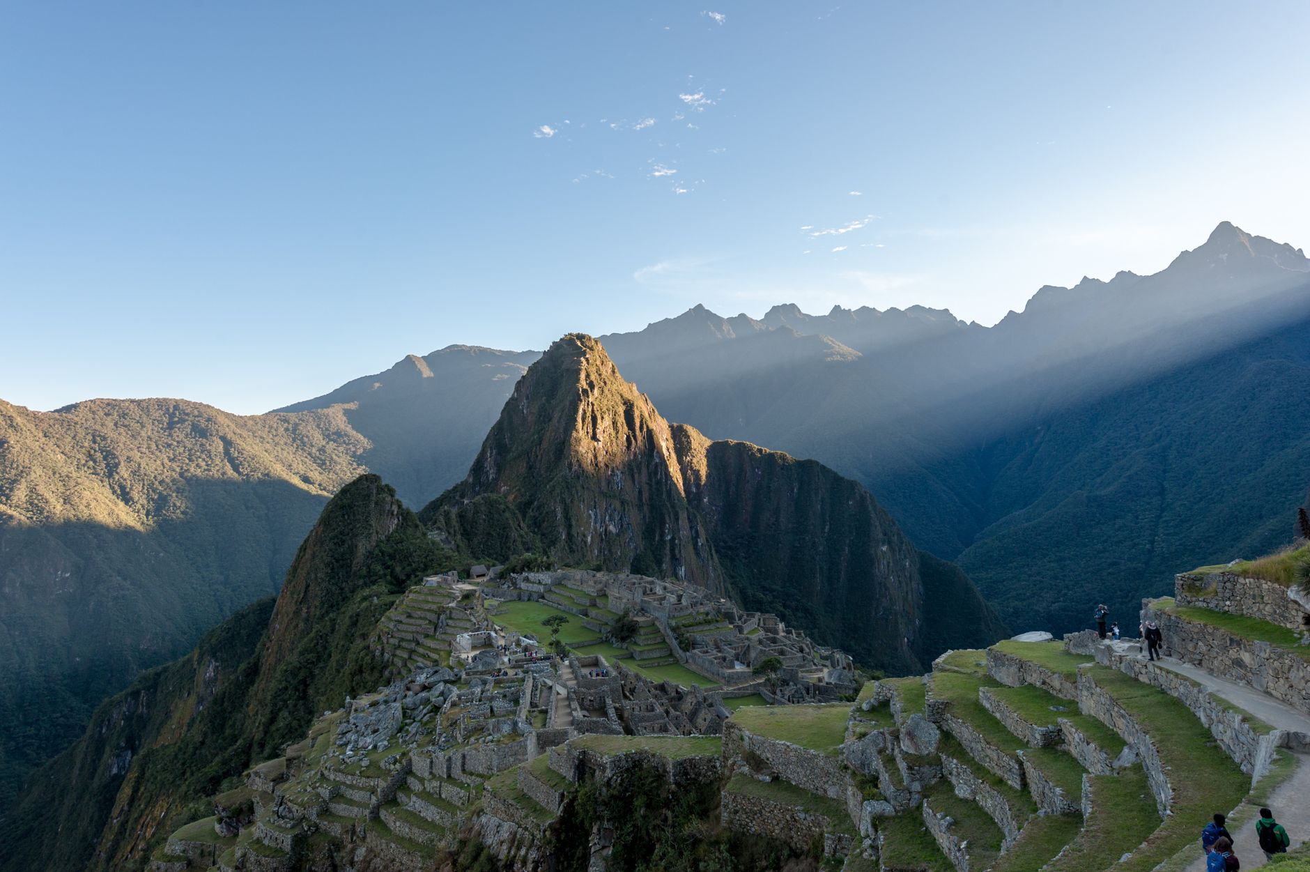
The first thing that stops you at Machu Picchu is the geometry of it — 172 stone structures arranged across a ridge at 2,430 metres, with terraces stepping down on every side and cloud moving through the gaps between peaks. It was built around 1420 under the Inca king Pachacutec, abandoned within a century, and then largely unknown outside the Andes until Hiram Bingham arrived on 24 July 1911 and began telling the world what he had found.
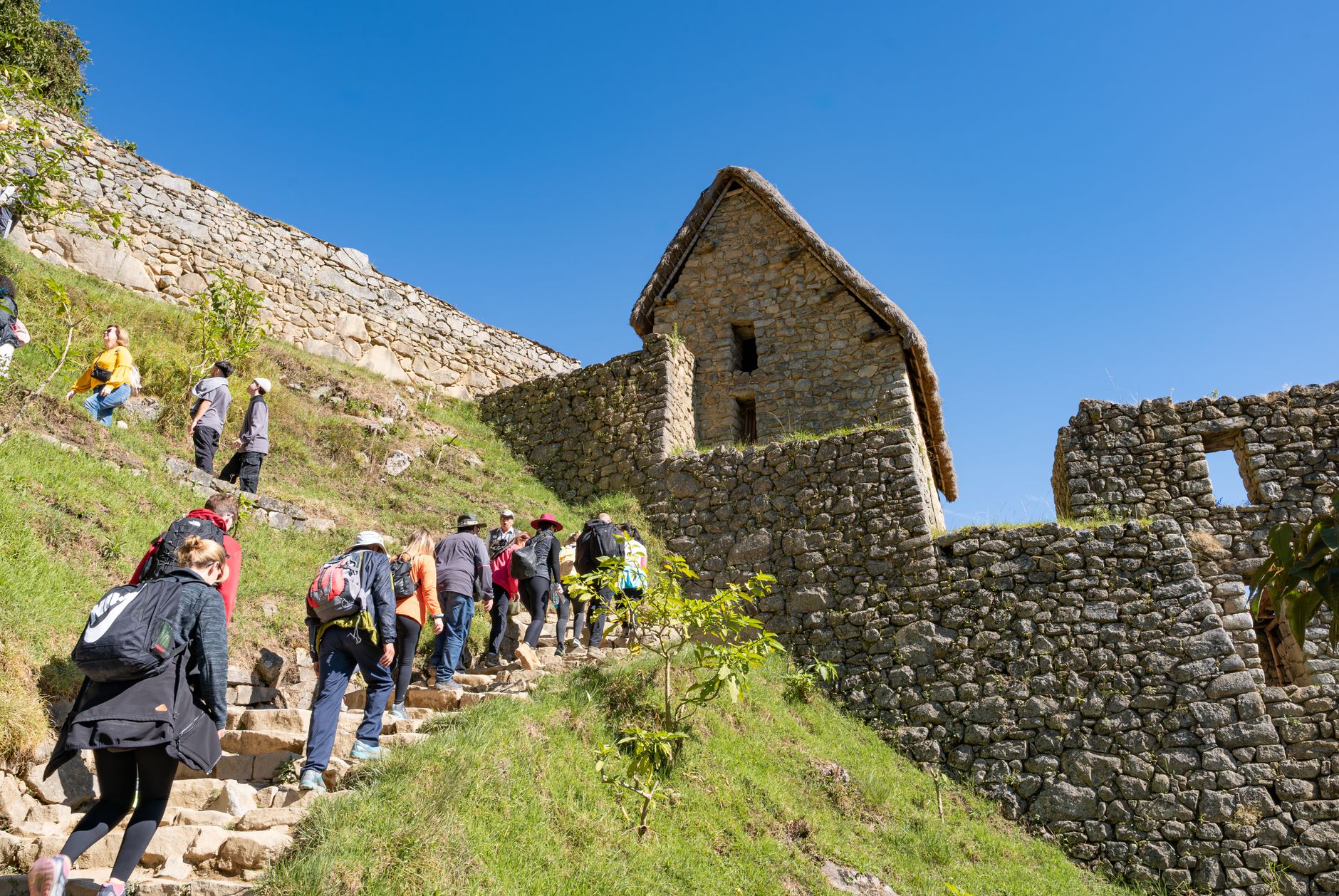
Today the site is tightly managed: timed entry slots, designated circuits, a mandatory guide from start to finish, and a four-hour maximum inside the ruins. None of that diminishes the place itself, but it does mean logistics matter more here than almost anywhere else in South America.
How Machu Picchu came to be
Pachacutec, who ruled the Inca Empire from 1438 to 1471, ordered construction of the site around 1420 — recent radiocarbon dating pushes the founding back at least two decades earlier than earlier estimates. The workforce came through the Mita system: skilled mitmaqkunas, relocated by the state to work in stonework, agriculture and construction. The 200 terraces they built were as much about managing water as growing crops.
The site was gradually deserted after the Spanish conquest, though a Peruvian explorer named Agustín Lizárraga reached it in 1902 and left his name in charcoal on the Temple of the Three Windows. Bingham's 1911 visit brought international attention, and excavation followed between 1912 and 1915. UNESCO designated it a World Heritage Site in 1983.
Who and what shaped it
People who shaped it
Landmark buildings
See Machu Picchu in motion
Plan your visit
On the map
When to go
April through October is the dry season — clearer skies, more reliable views across the surrounding peaks. June through August draws the largest crowds. The wet season brings morning mist that can soften the site into something almost otherworldly, but afternoon downpours are common and the paths become slippery.
Right now
Background & history adapted from Wikipedia (CC BY-SA) · specs from Wikidata (CC0) · weather from Open-Meteo · map data © OpenStreetMap contributors · photos from Wikimedia Commons / Unsplash with per-image credit. No third-party reviews or social posts reproduced.