
Maastricht
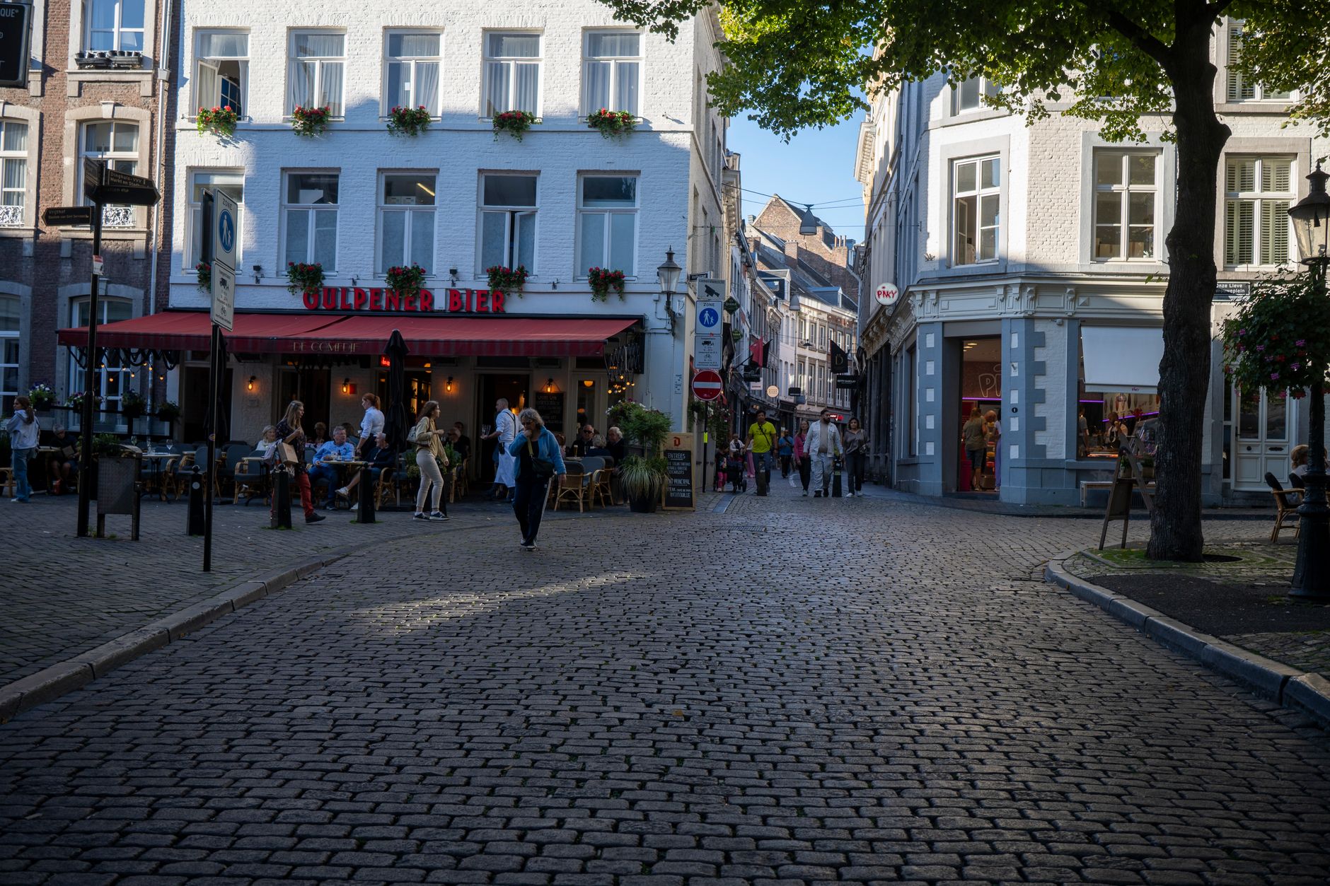
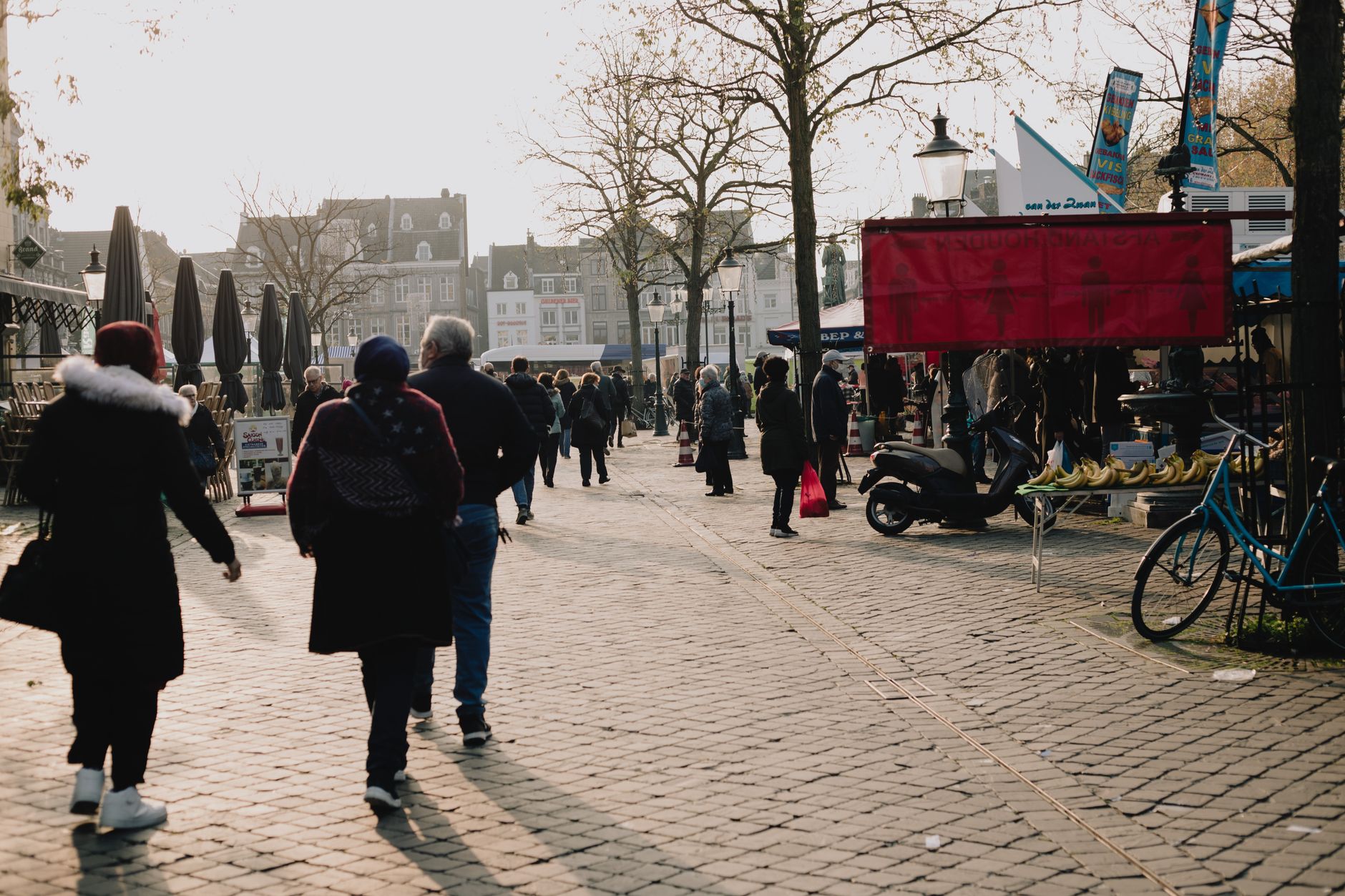
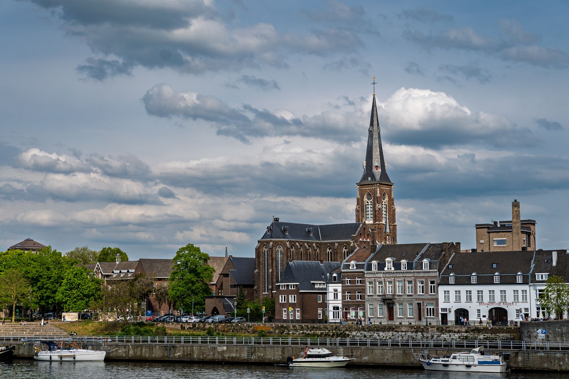
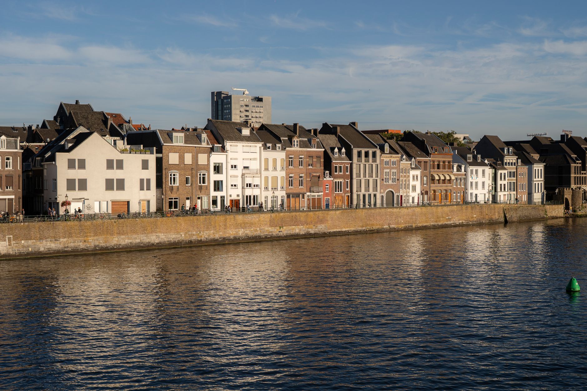
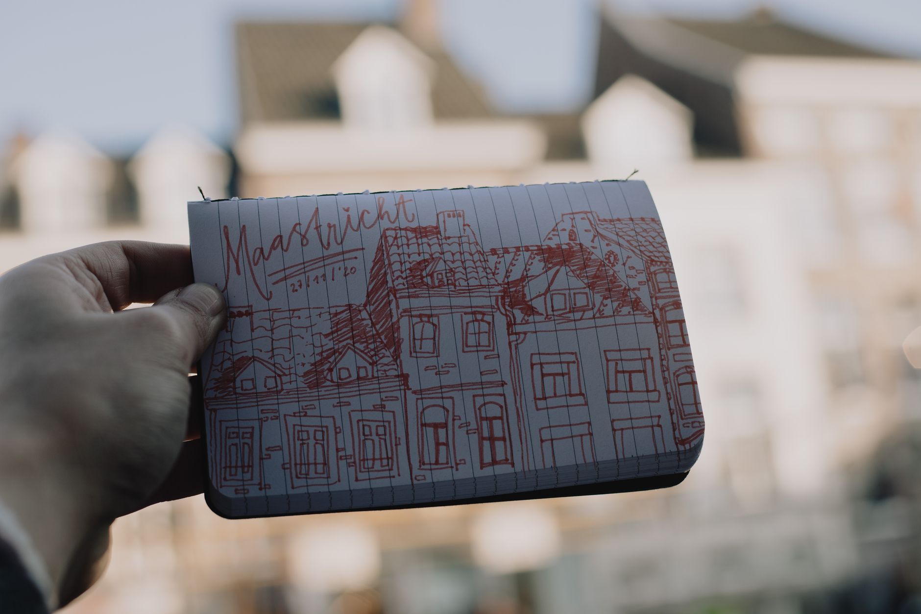
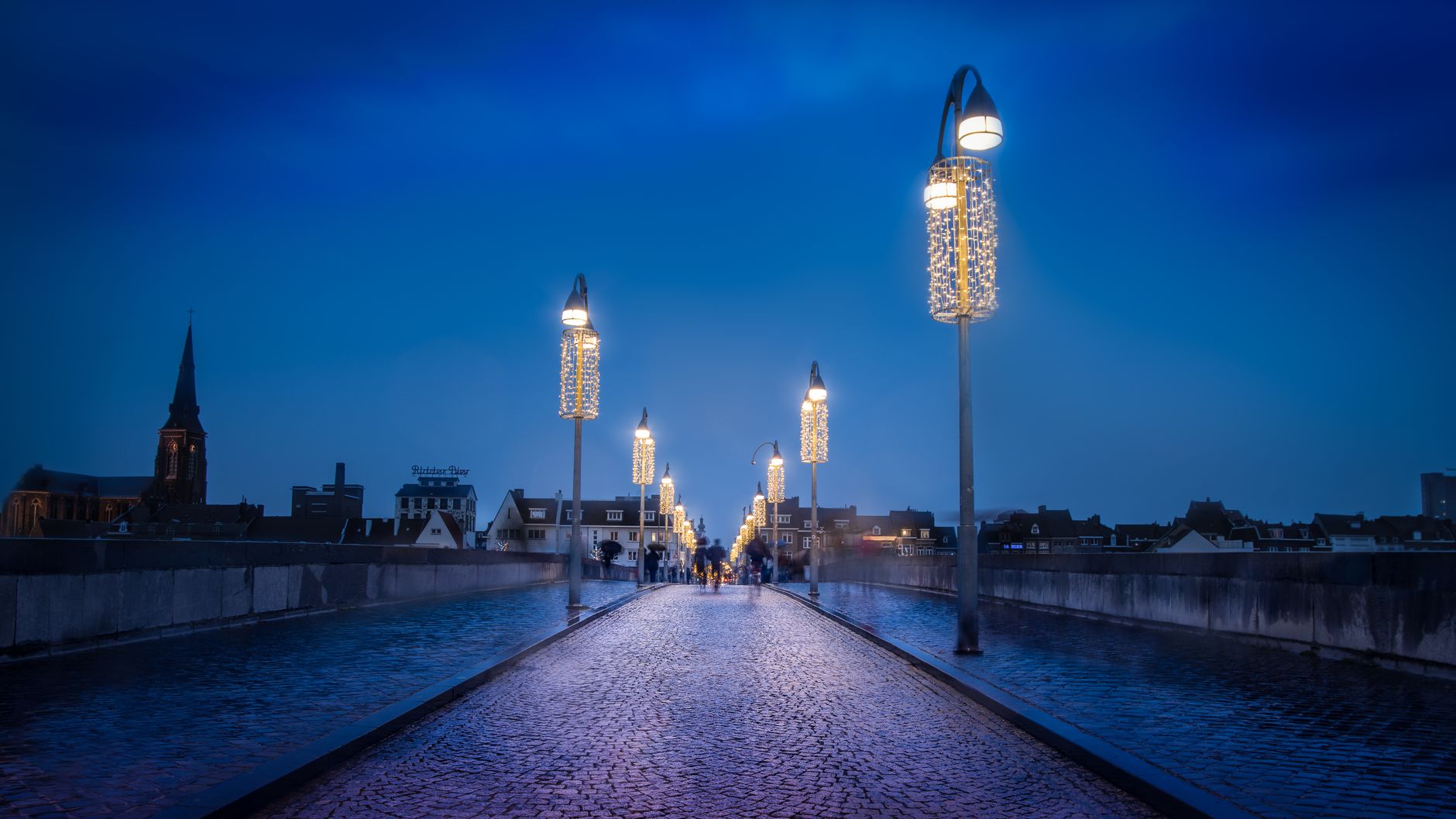
Maastricht sits at the southern tip of the Netherlands, where the country narrows to a sliver between Belgium and Germany, and the river Meuse has been doing the heavy lifting since the Romans built a bridge here in the first century AD. The city that grew around that crossing is older and denser with stone than almost anywhere else in the Netherlands — 1,677 national heritage buildings, more than every Dutch city except Amsterdam.
The medieval street plan is largely intact, the centre is traffic-free, and the Sint Servaasbrug — a medieval stone arch bridge funded by church indulgences after its predecessor collapsed in 1275 — still carries foot traffic across the Meuse. Maastricht is also where, in 1992, twelve nations signed the treaty that created the European Union.
How Maastricht came to be
The Romans established a settlement here — Trajectum ad Mosam — and built a bridge across the Meuse under Augustus. The medieval city that followed was governed jointly by two powers: from 1204, the prince-bishop of Liège and the duke of Brabant shared sovereignty under a formal treaty, an arrangement that shaped the city's character as a place of negotiation and ceremony. The Helpoort, a city gate dating to 1229, is the oldest surviving city gate in the Netherlands, and the Sint Servaasbrug was built between roughly 1280 and 1298 to replace a wooden bridge that killed an estimated 400 people when it collapsed.
The city was liberated by US troops of the 30th Infantry Division on 13–14 September 1944, the first Dutch city freed from occupation. Nearly half a century later, it gave its name to the 1992 treaty that established the European Union and set the euro in motion.
Who and what shaped it
People who shaped it
Landmark buildings
See Maastricht in motion
Plan your visit
On the map
When to go
Maastricht has a sub-oceanic climate — mild summers that rarely turn oppressive, cold and grey winters with frequent rain. July averages around 19°C, which is comfortable for walking the old town; January sits just above freezing and tends to be damp and overcast.
Right now
Background & history adapted from Wikipedia (CC BY-SA) · specs from Wikidata (CC0) · weather from Open-Meteo · map data © OpenStreetMap contributors · photos from Wikimedia Commons / Unsplash with per-image credit. No third-party reviews or social posts reproduced.