
Maasai Mara National Reserve
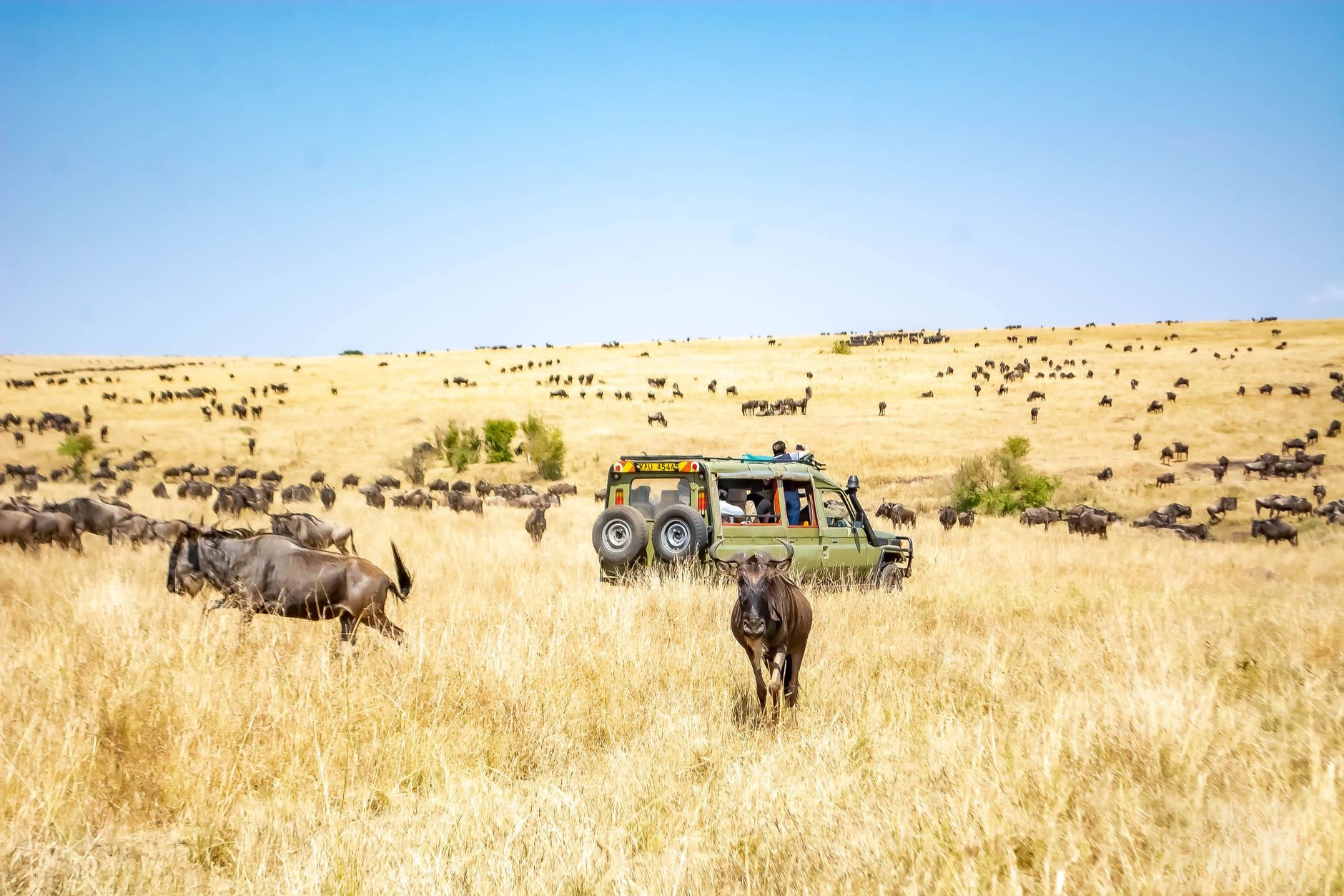

The Mara River cuts through southwestern Kenya in a slow brown curve, and twice a year — July through October — upwards of a million wildebeest arrive at its banks and have to decide whether to cross. The crocodiles at Crocodile Point have been waiting. This is the scene that made the Maasai Mara famous, but the 1,831 square kilometres of open savannah, marsh and escarpment hold far more than one river crossing.
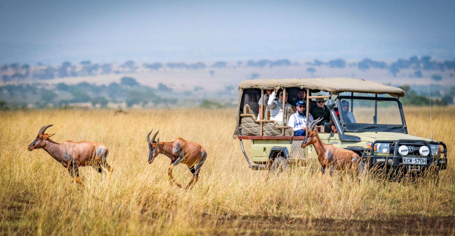
Musiara Marsh, in the reserve's northwest, is lion country — specifically the territory of the Marsh Pride, documented across decades of BBC filming. The Siria Escarpment rises to the west; the Tanzanian border and the Serengeti ecosystem continue south. The Mara is not a zoo or a park in the manicured sense. It is a working piece of the world.
💛 What travellers fall for
Repeat visitors tend to book the same airstrip twice: fly into Musiara for the northern game circuit, out via Ol Kiombo after pushing south. They also learn quickly that the community fee — USD 80 per adult per day, paid separately from park entry — goes directly to Maasai landowners, and that understanding this changes how the whole place sits with you.
How Maasai Mara National Reserve came to be
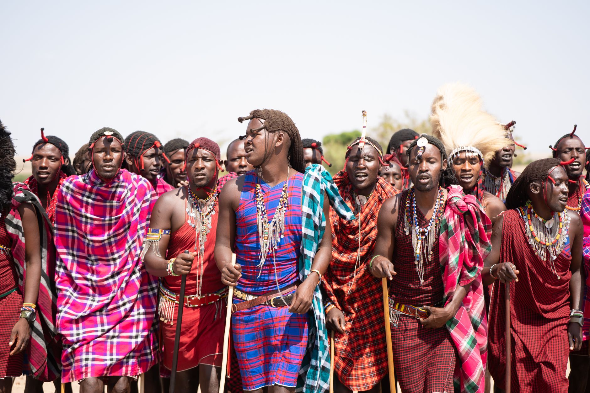
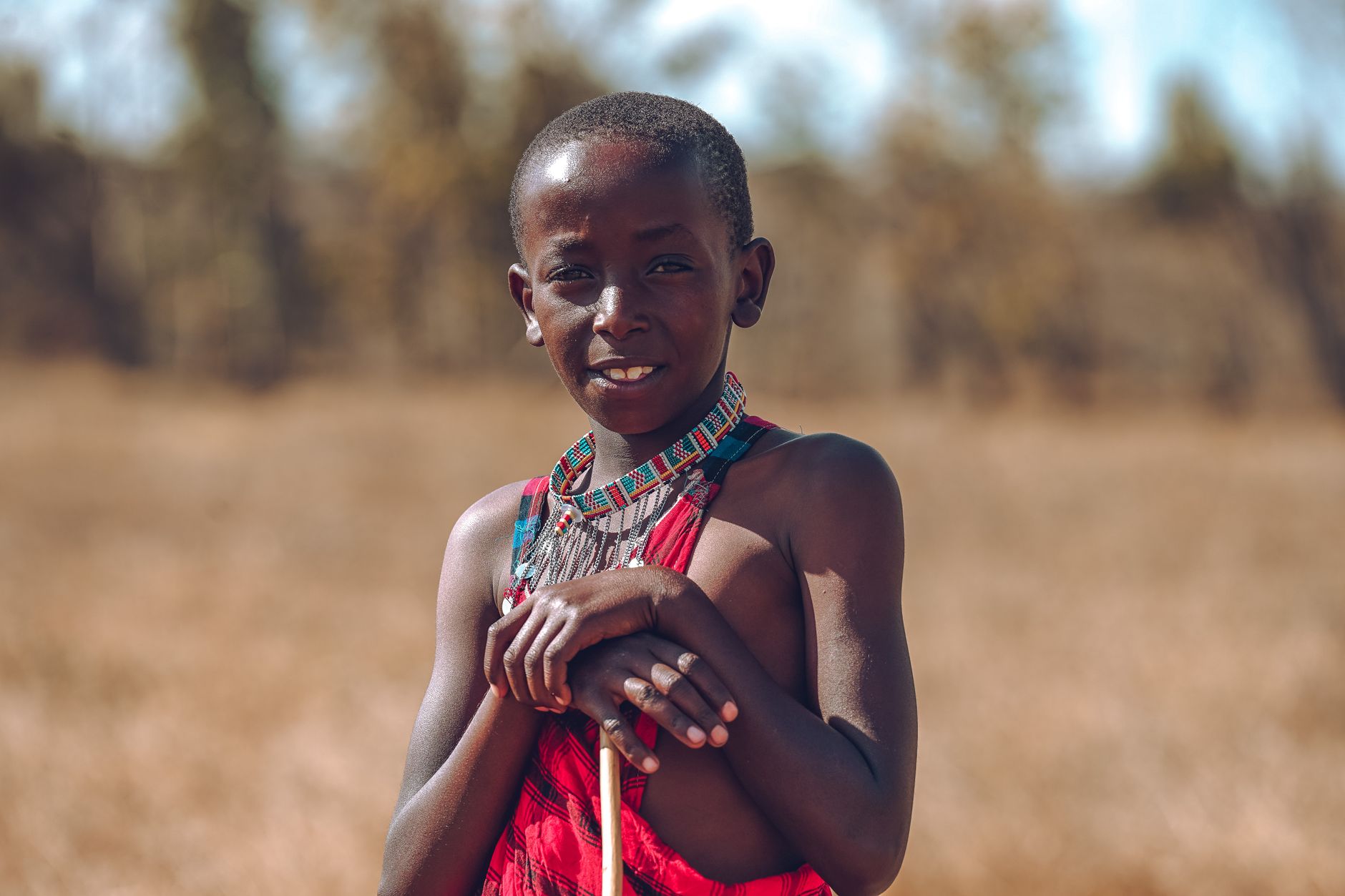
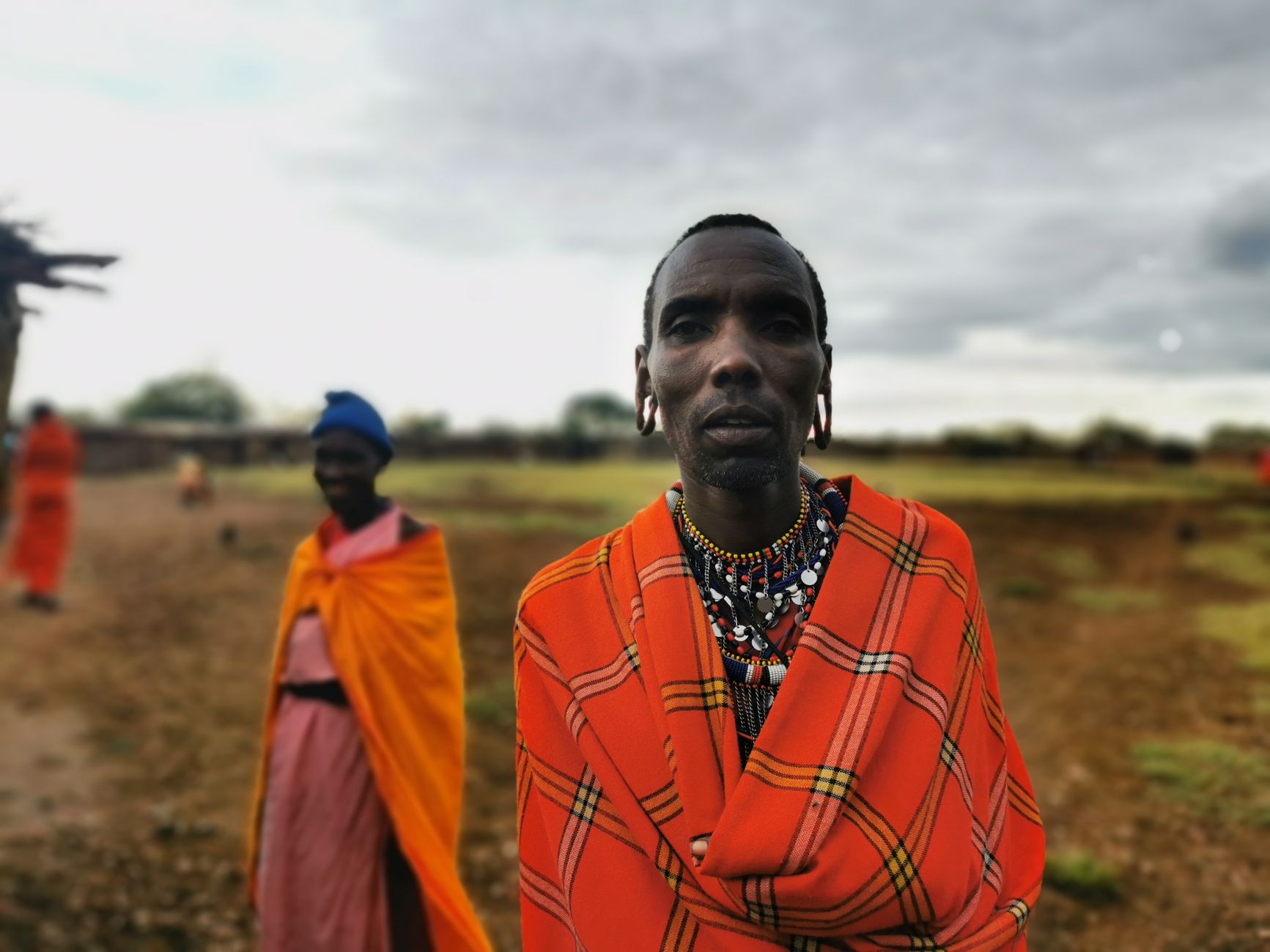
The Mara Triangle was declared a game reserve in 1948, protecting roughly 520 km² between the Siria Escarpment, the Mara River and the Tanzanian border. In 1961, control passed to the Narok County Council and the reserve expanded east to around 1,831 km²; formal designation as a National Reserve followed in 1974. The Maasai, whose ancestral territory this is, migrated to the region from the Nile Basin over centuries — their name is on the reserve because the land was, and in many ways remains, theirs.
Conservation here has never been frictionless. Tsetse fly infestations complicated both wildlife management and human settlement. In 2001, the Mara Conservancy took over management of the Mara Triangle — a public-private arrangement focused on cutting poaching, rebuilding infrastructure and stabilising the visitor economy.
Who and what shaped it
People who shaped it
Landmark buildings
See Maasai Mara National Reserve in motion
Plan your visit
On the map
When to go
Two rainy seasons shape the calendar: a shorter one in November and December, and the heavier long rains from March through May — April being the wettest month, with occasional flooding. July, the driest month, coincides with the start of the wildebeest migration and is also when entry fees peak.
Right now
Background & history adapted from Wikipedia (CC BY-SA) · specs from Wikidata (CC0) · weather from Open-Meteo · map data © OpenStreetMap contributors · photos from Wikimedia Commons / Unsplash with per-image credit. No third-party reviews or social posts reproduced.