
Lusaka
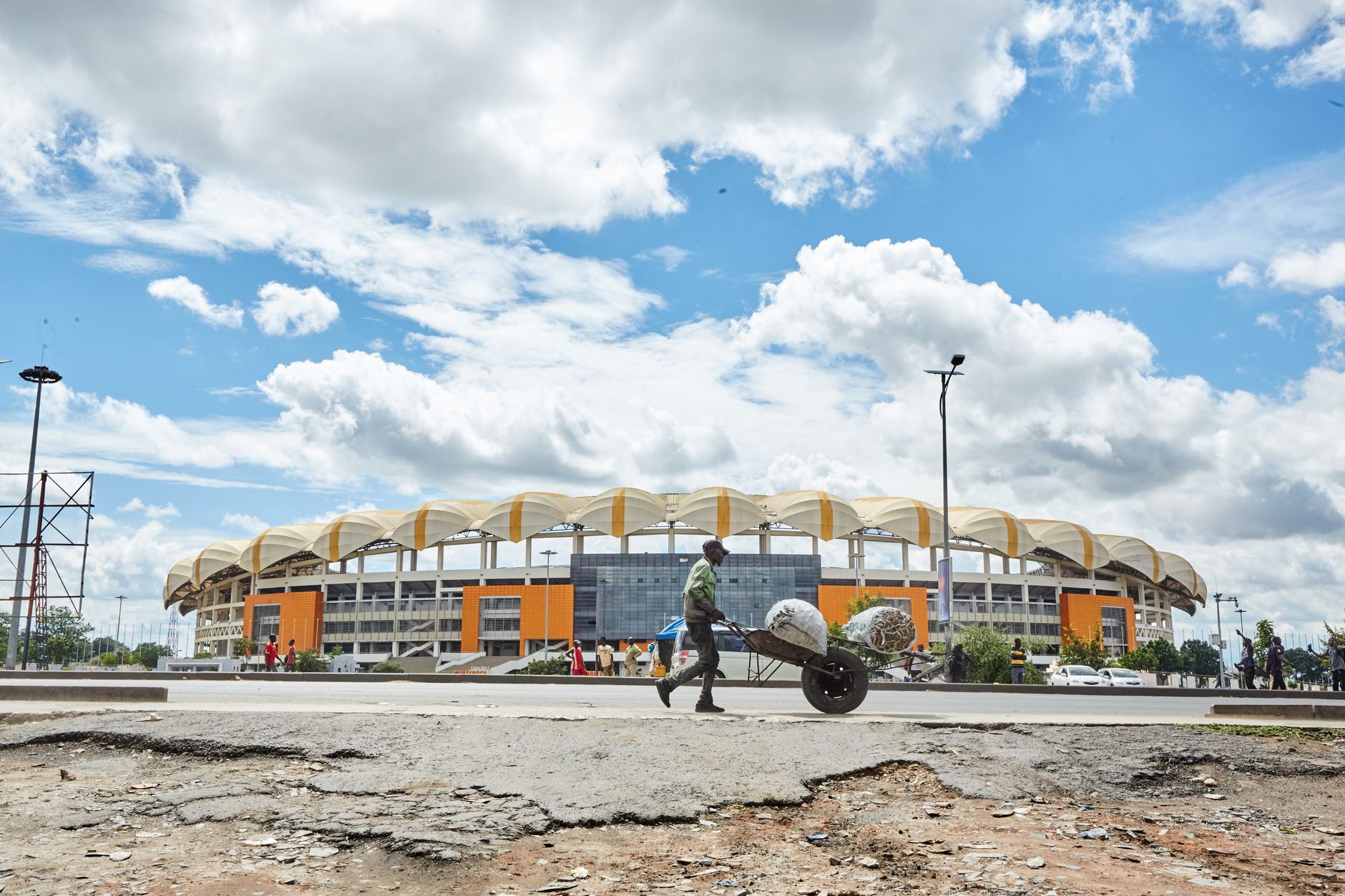



Lusaka exists because of a railway water stop — a practical decision made in 1905 that gradually became a city of nearly four million people. Named after a Lenje chief called Lusaaka, it grew from a colonial administrative project into the capital of an independent Zambia, and carries both histories in plain sight: a Yugoslav Modernist skyscraper on Cairo Road, a National Heroes Stadium named after a football team lost to the sea, a Freedom Statue standing open to anyone who walks past.
Cairo Road is still the city's spine — four lanes of traffic, the tallest buildings in the country stacked along its length, and combis threading through it all from before dawn. The city rewards the patient and the curious more than it does the itinerary-driven.
How Lusaka came to be
Lusaka started as a water stop on a railway line extended 452 kilometres by the Mashonaland Railway Company in 1905. Afrikaner farmers arrived by 1913, stores and a hotel followed, and the British South Africa Company declared it a town. The decisive moment came in 1929, when the colonial administration chose Lusaka — more central than Livingstone — as the future capital of Northern Rhodesia. Stanley Adshead, a planning professor from University College London, was dispatched to confirm the decision, and South African architect John A. Hoogterp was commissioned to design Government House and the main administrative buildings.
The capital designation took effect in 1935, triggering a wave of infrastructure development. Independence in 1964 transformed who the city was actually built for: the new government invested in housing and utilities for its citizens, the University of Zambia opened in 1966, and the city that colonial planners had drawn on paper began to become, in practice, Zambian.
Who and what shaped it
People who shaped it
Landmark buildings
See Lusaka in motion
Plan your visit
On the map
When to go
Lusaka sits at high altitude, which keeps temperatures moderate year-round. The warm, wet season runs November through March; the dry winter from April to August is the most comfortable time to visit, with cool nights and clear days. September and October turn hot and dry before the rains return.
Right now
Background & history adapted from Wikipedia (CC BY-SA) · specs from Wikidata (CC0) · weather from Open-Meteo · map data © OpenStreetMap contributors · photos from Wikimedia Commons / Unsplash with per-image credit. No third-party reviews or social posts reproduced.