
Lucerne
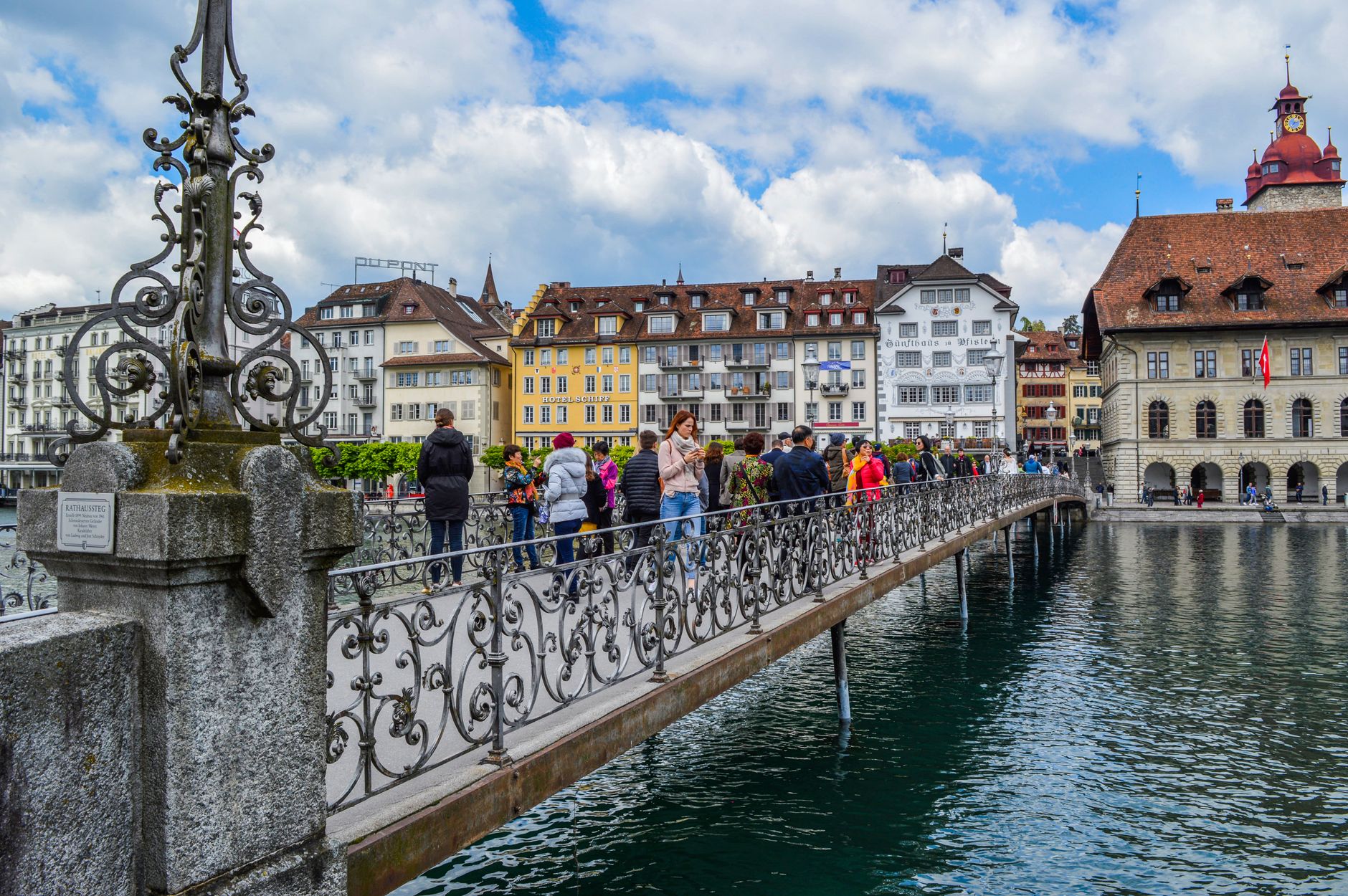
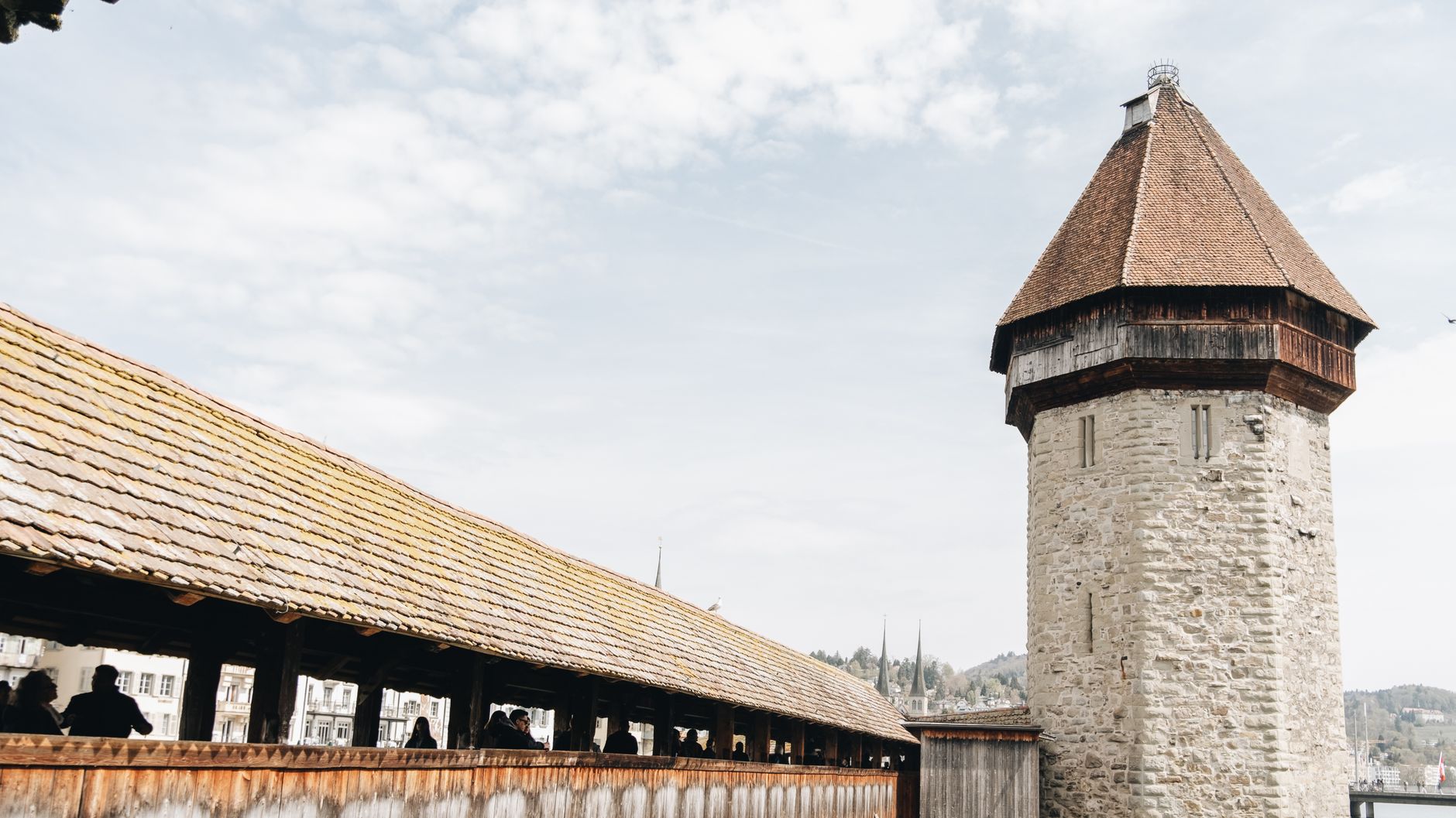
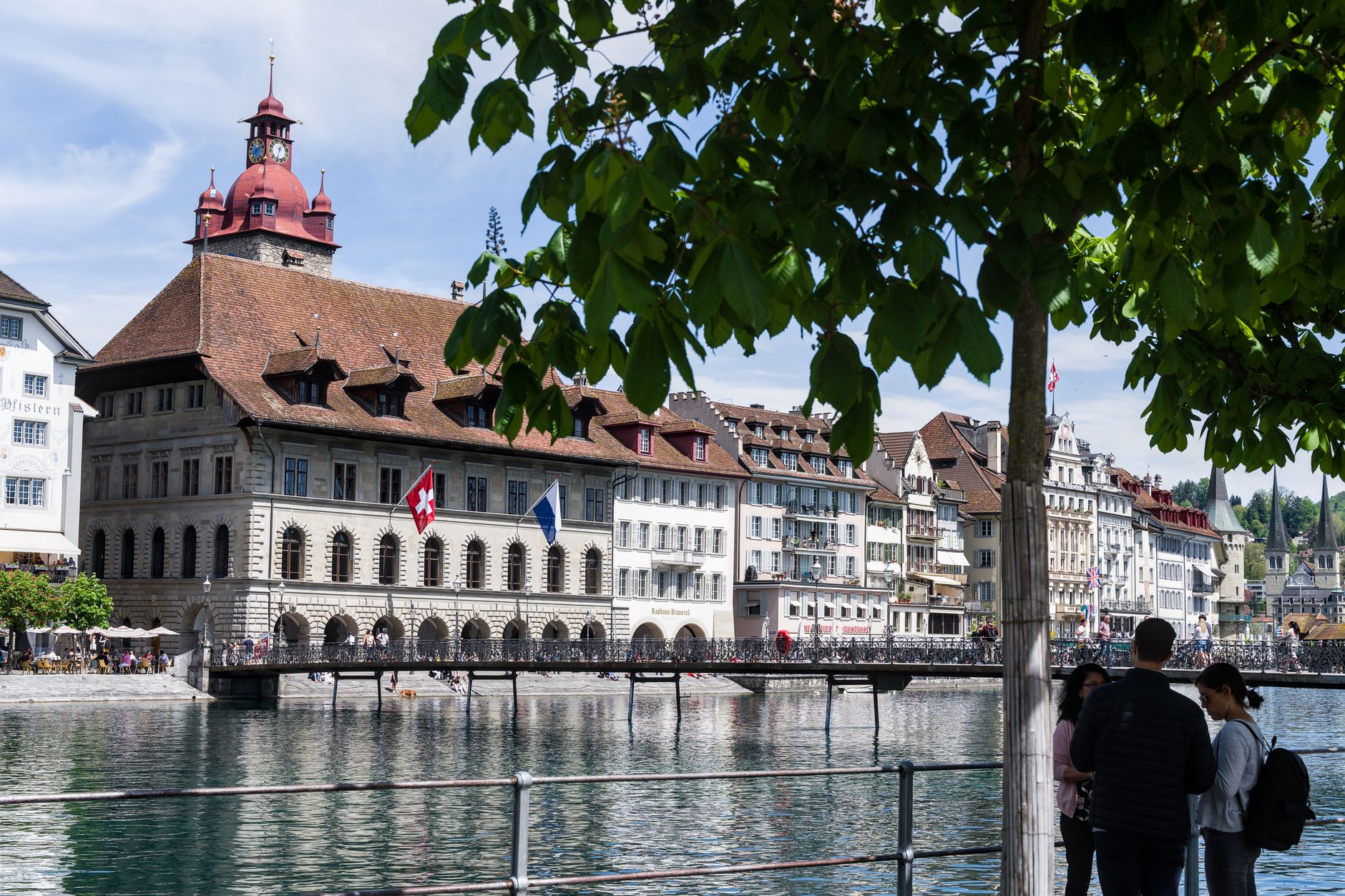
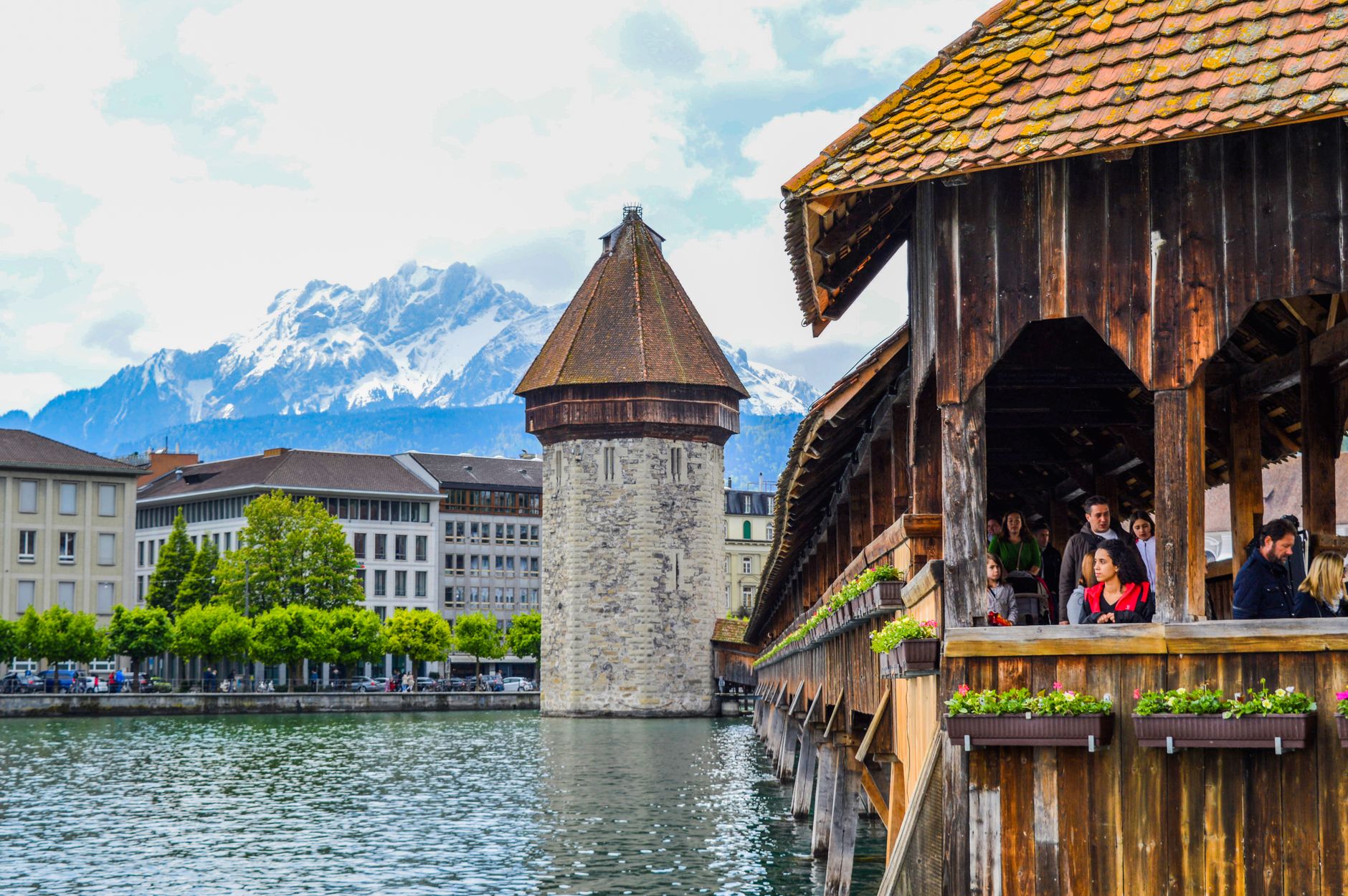
The Chapel Bridge tells you most of what you need to know about Lucerne before you've walked its full length. Built around 1365 as part of the city's fortifications, it crosses the Reuss at a diagonal, its covered timber roof sheltering 17th-century paintings that survived — partly — a fire in 1993. The octagonal Water Tower beside it predates the bridge by about a century and has never been open to the public. These two structures, side by side on the water, set the tone: Lucerne is a city that wears its medieval past in plain sight.
Beyond the bridges, the Musegg town walls still stand with nine watchtowers, and Jean Nouvel's Culture and Convention Centre — opened in 1998 — sits at the lake's edge as a sharp counterpoint. The city rewards unhurried walking more than any itinerary.
How Lucerne came to be
Lucerne began as a Benedictine monastery, founded around 750, dedicated to St. Leodegar. The city's independence is traced to 1178, when it broke from Murbach Abbey. What changed its fortunes decisively was geography: around 1230, the St. Gotthard Pass opened as a viable Alpine route, and Lucerne found itself on the main artery between the upper Rhine and Lombardy. Trade followed.
In 1332, seeking protection against Habsburg expansion, Lucerne joined the alliance already formed by Uri, Schwyz, and Unterwalden — a compact that would eventually become the Swiss Confederation. The Battle of Sempach in 1386 secured real independence. The railway arrived in 1859, pulling the city south toward the lakeshore, and in 2000 Lucerne became a university city.
Who and what shaped it
People who shaped it
Landmark buildings
See Lucerne in motion
Plan your visit
On the map
When to go
Summers are warm and long — July averages a high of around 25°C — but August is the wettest month, so pack accordingly. Winters run cold and grey, with temperatures hovering just above freezing and occasional dips below; the shoulder seasons of May and September tend to offer the most settled conditions for walking.
Right now
Background & history adapted from Wikipedia (CC BY-SA) · specs from Wikidata (CC0) · weather from Open-Meteo · map data © OpenStreetMap contributors · photos from Wikimedia Commons / Unsplash with per-image credit. No third-party reviews or social posts reproduced.