
Lower Zambezi National Park

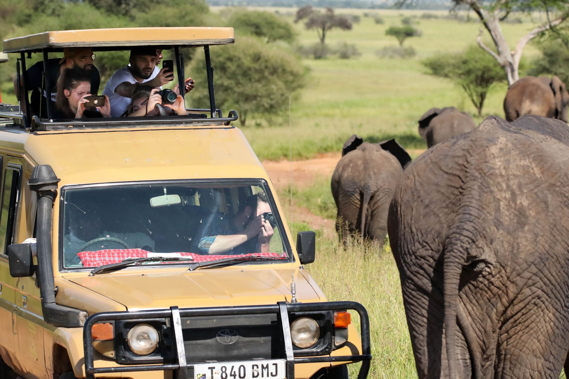
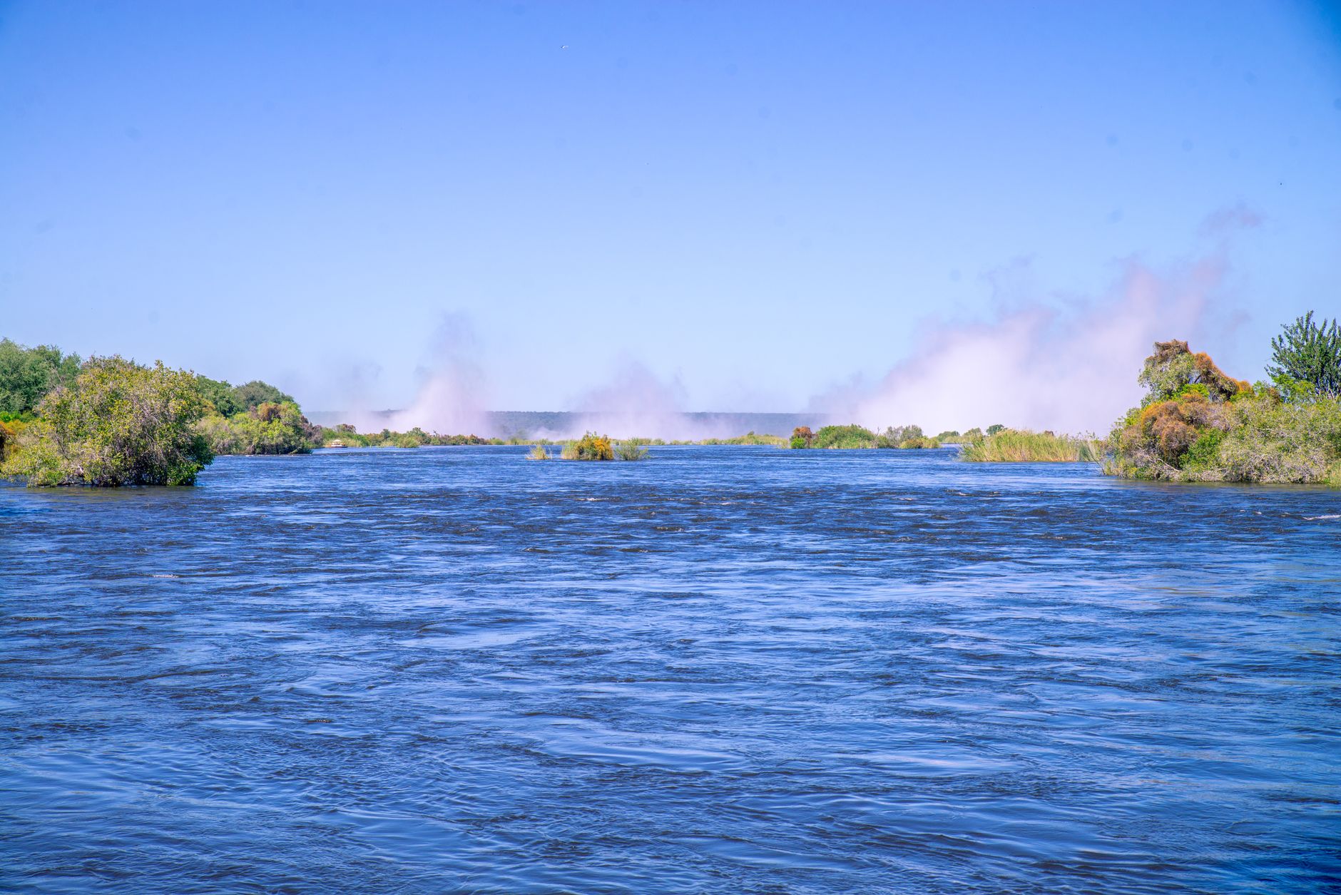

The Lower Zambezi National Park sits on the north bank of the Zambezi River in southeastern Zambia, 4,092 square kilometres of floodplain, mopane woodland and escarpment where the river does most of the work. Canoe past elephant drinking at the bank, watch buffalo cross at dusk, or simply sit on a deck as the Zambezi slides past — the park's geography keeps the experience intimate and unhurried.
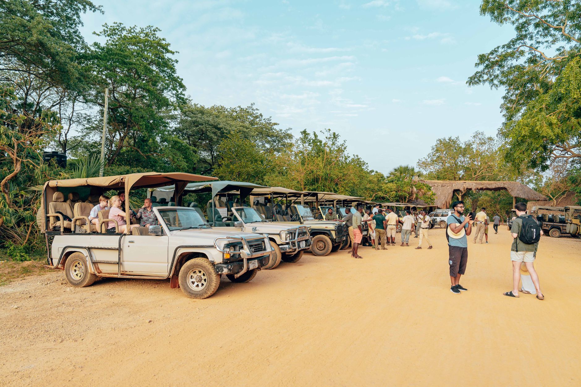
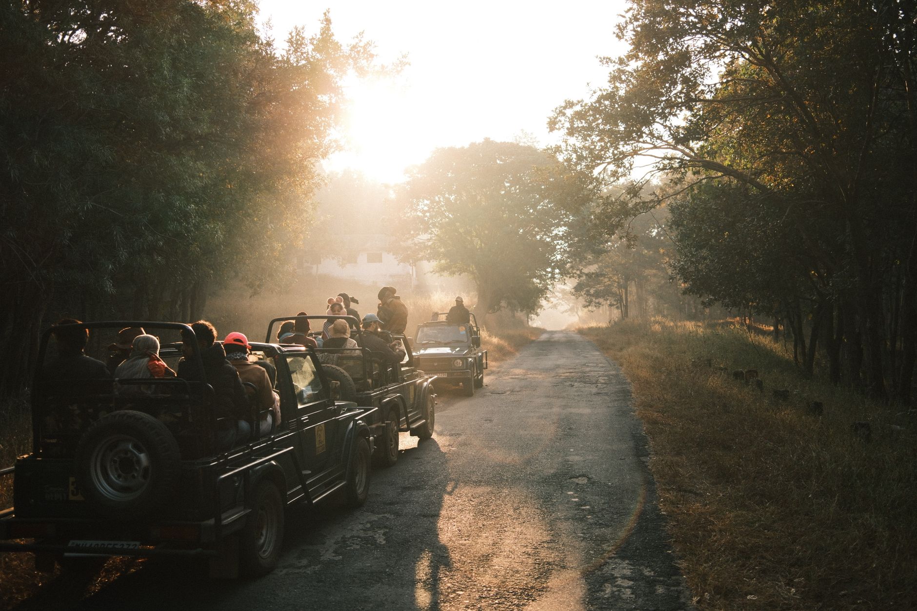
There are no paved roads inside the park, and you are unlikely to share a game drive with another vehicle. Access is almost entirely by small aircraft — a 30 to 40 minute hop from Lusaka on Proflight Zambia — which means the wilderness begins the moment you land.
How Lower Zambezi National Park came to be
The land that became Lower Zambezi National Park spent much of its modern life as a controlled hunting area, designated as such in 1951. In the early 1970s, Wildlife Conservation International took on a management contract from the Zambian government with the aim of transforming the area into a proper national park, with Robin Pope — later one of Zambia's most respected guides — working as a field assistant on the project. Political difficulties and funding shortfalls collapsed the effort by 1974 or 1975, though not before the area's status had quietly shifted to a gazetted international game park.
Formal national park status followed in 1983. The Cumings family, who own and operate Chiawa Camp and Old Mondoro, were central to the park's first conservation activities and brought the first tourists here in 1990, going on to establish the game-viewing loops that visitors still use today. Chiawa Camp commenced operations in 1989; Sausage Tree Camp followed in 1996.
Who and what shaped it
People who shaped it
Landmark buildings
See Lower Zambezi National Park in motion
Plan your visit
On the map
When to go
The dry season runs May to October: days average around 25°C/77°F, nights can drop to 11°C/52°F from May through August, so pack a warm layer for early morning drives. By October temperatures climb sharply. The wet season, November to April, brings lush green landscapes and fewer visitors, but many camps close for much of this period.
Right now
Background & history adapted from Wikipedia (CC BY-SA) · specs from Wikidata (CC0) · weather from Open-Meteo · map data © OpenStreetMap contributors · photos from Wikimedia Commons / Unsplash with per-image credit. No third-party reviews or social posts reproduced.