
Los Haitises National Park
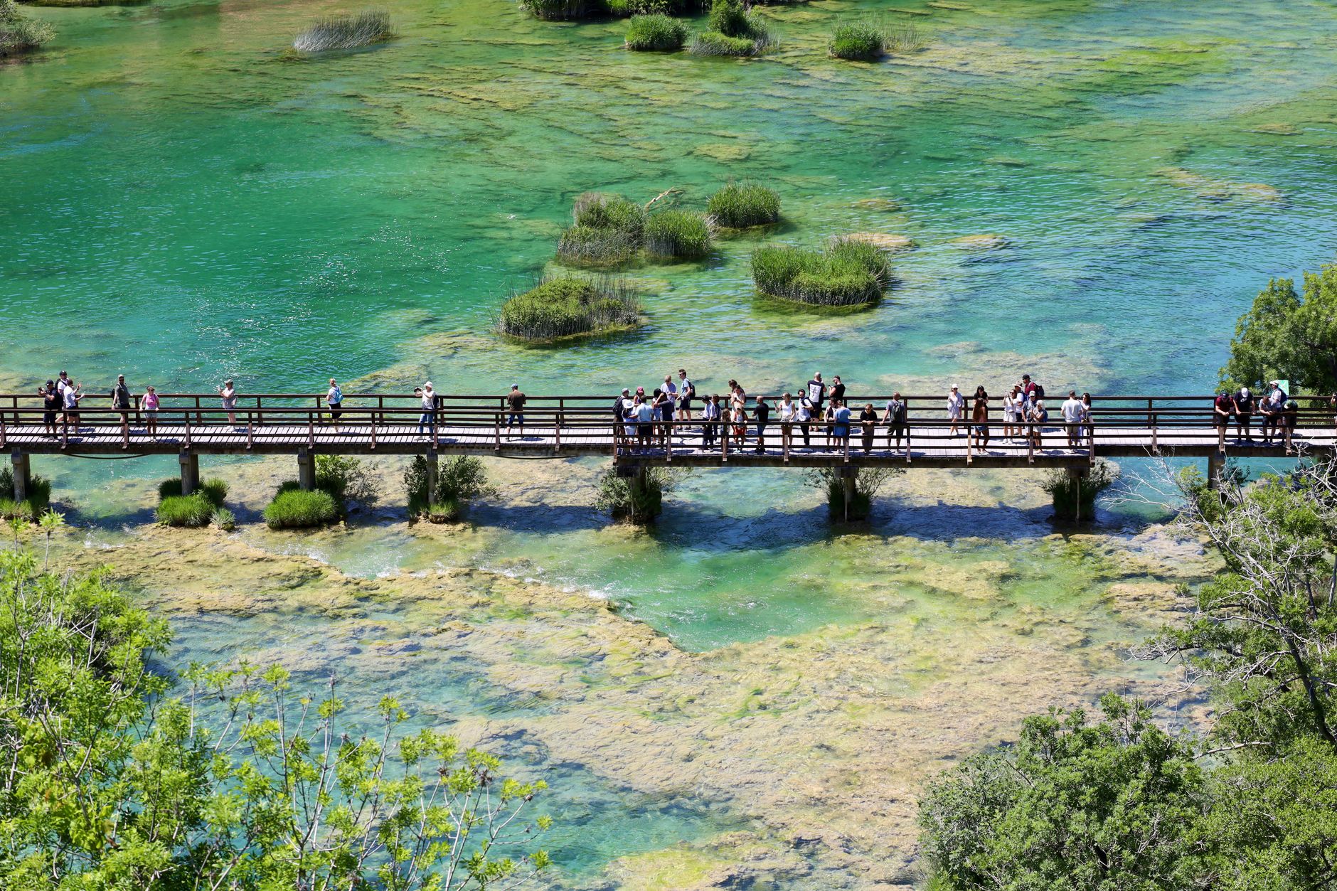
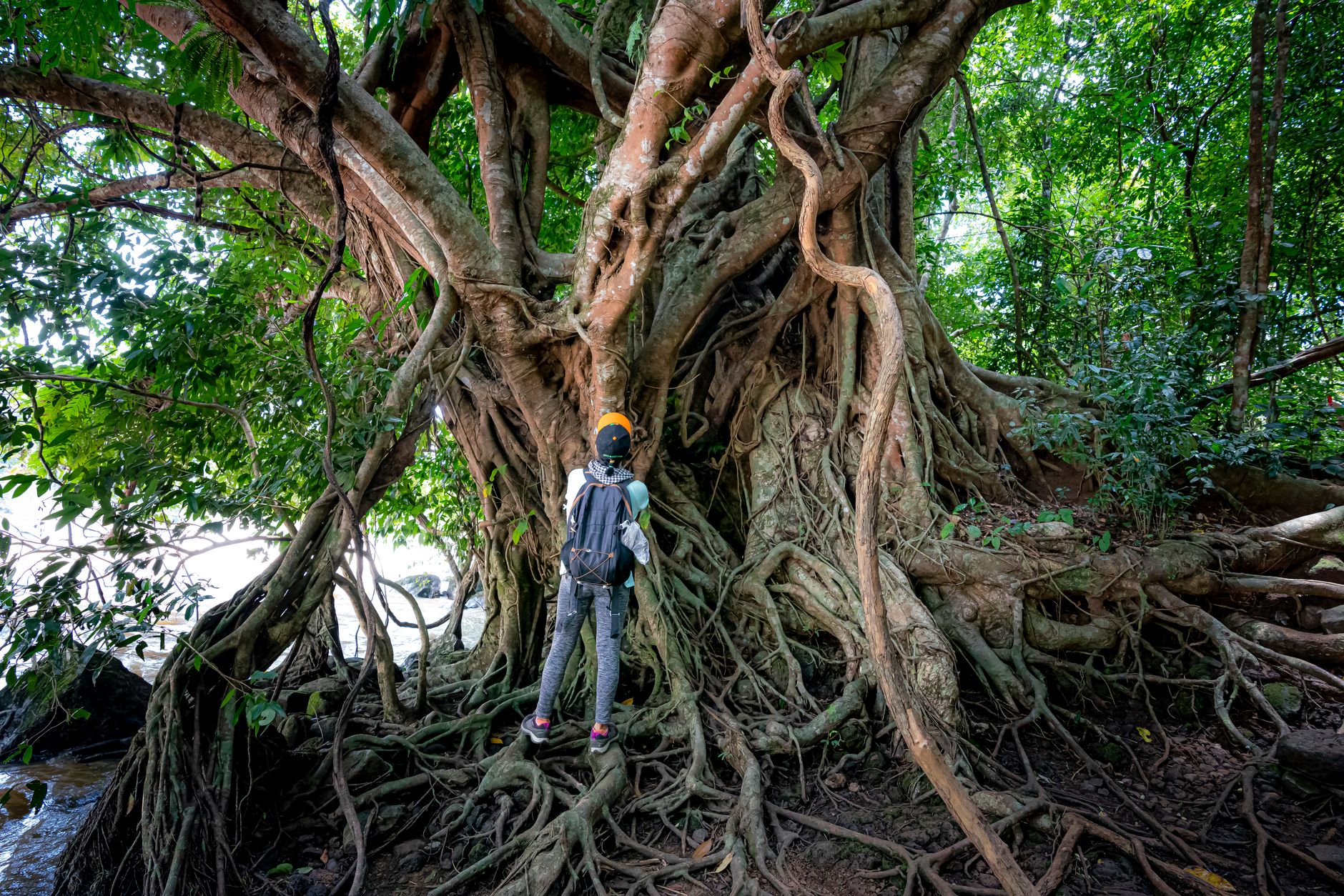
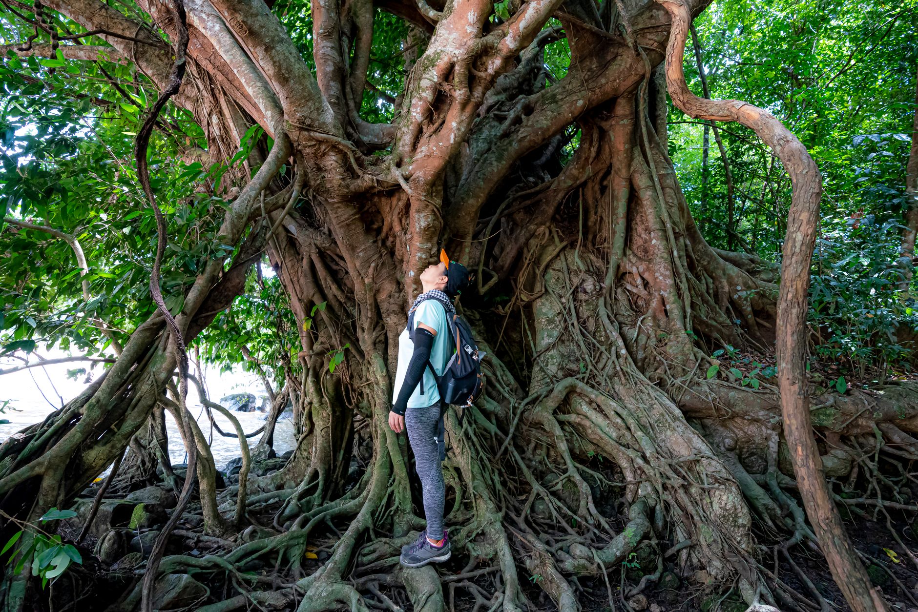
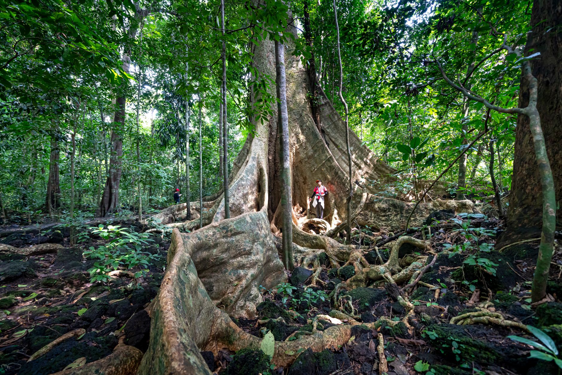
The karst hills of Los Haitises rise from the water in near-identical cones, 200 to 300 metres tall, so regular they look deliberate — as if the bay had been set with a hundred dark green stamps. Beneath them, 97 documented caves hold Taíno petroglyphs: hands, faces, animals scratched into limestone walls by people who lived here long before anyone thought to count the hills.
The park covers a platform of karst roughly 82 kilometres east to west, fringed by what is considered the Caribbean's largest mangrove forest system. Frigatebirds and brown pelicans work the channels around Cayo de los Pájaros with no particular interest in the boats passing below. You enter only with a licensed guide, which turns out to be the right arrangement.
💛 What travellers fall for
People who come back tend to say the same thing: go earlier in the week, when the tour boats thin out. The guides from Sabana de la Mar know which cave mouths to linger at and which to pass. If you can, arrange a kayak segment rather than staying in the motorboat the whole time — the mangrove tunnels read completely differently at water level.
How Los Haitises National Park came to be
The land that became Los Haitises was losing its forest fast in the early twentieth century — over 90 percent of original cover cleared for sugarcane and rice. A protected forest reserve, the Zona Vedada de Los Haitises, was established under Law 244 on January 10, 1968, initially covering 208 square kilometres. Eight years later, on June 3, 1976, Law 409 created the national park formally.
Hurricane Georges in 1998 destroyed large sections of mangrove, and some areas are still recovering. Ecotourism infrastructure around Sabana de la Mar has grown since 2000, giving the park a local economic stake in its own protection — a shift that matters more than any single piece of legislation.
Who and what shaped it
Landmark buildings
See Los Haitises National Park in motion
Plan your visit
On the map
When to go
The park receives around 2,000 millimetres of rain annually, so even the dry season (December through April) can produce sudden showers — pack accordingly. Mid-December to mid-March combines the best weather with whale-watching season in nearby Samaná Bay, making it the most visited window.
Right now
Background & history adapted from Wikipedia (CC BY-SA) · specs from Wikidata (CC0) · weather from Open-Meteo · map data © OpenStreetMap contributors · photos from Wikimedia Commons / Unsplash with per-image credit. No third-party reviews or social posts reproduced.