
Long Bien District

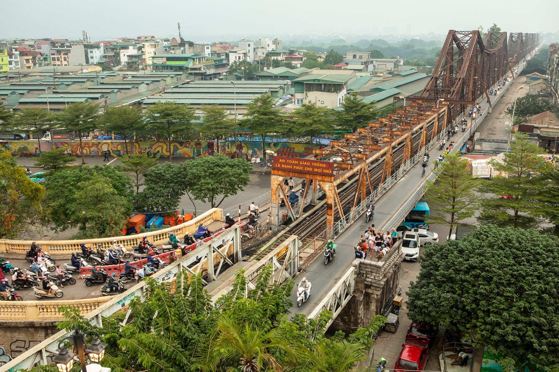
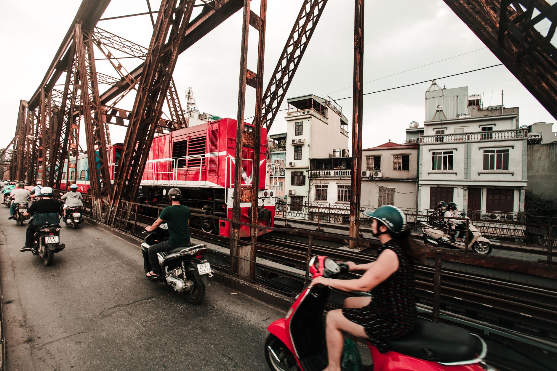
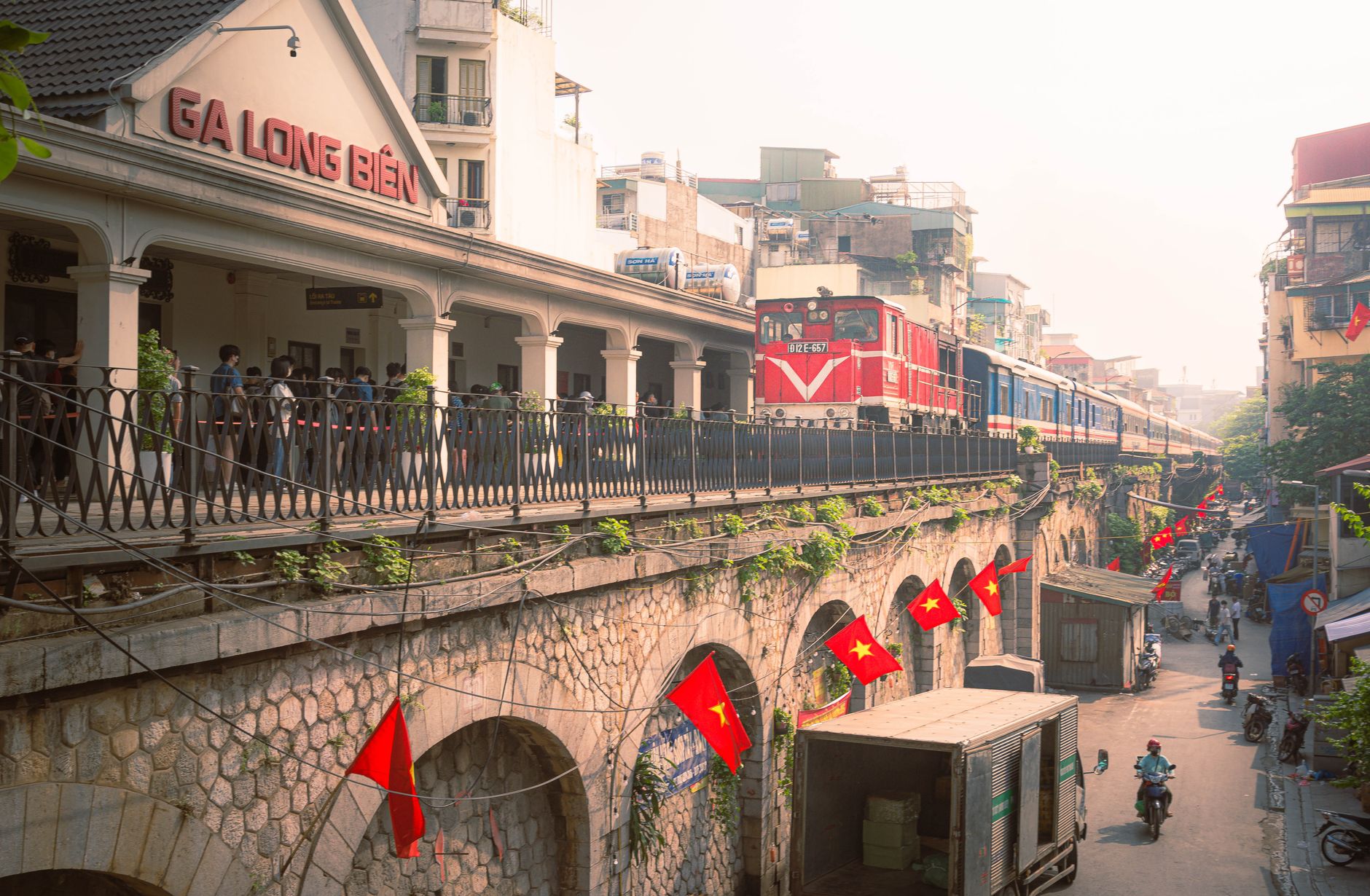


Cross Long Bien Bridge on foot at first light and you are sharing the walkway with motorbikes, the occasional bicycle loaded with vegetables, and the low rumble of a train somewhere beneath your feet. The bridge — 2.4 kilometres of French-colonial ironwork opened in 1903 — is the oldest way across the Red River in Hanoi, and it still carries the city's daily traffic in both senses of the word.
Long Bien District sits on the east bank, carved out as its own urban district only in 2003, though the ground beneath it has been inhabited, fought over, and named as a capital city since before the Common Era. The fruit market at the bridge's foot, the 15th-century Tran Vu Temple beside the river, the long view back toward the Old Quarter — these things coexist without ceremony.
💛 What travellers fall for
People who come back tend to time it around the market at the Long Bien bridge foot — Cho Dau Moi Long Bien — which winds down well before 8 a.m. Get there at sunrise, when wholesale buyers are still moving crates of dragon fruit and rambutan and the light off the Red River is worth the early alarm.
Deals in Long Bien District
Book directly at the provider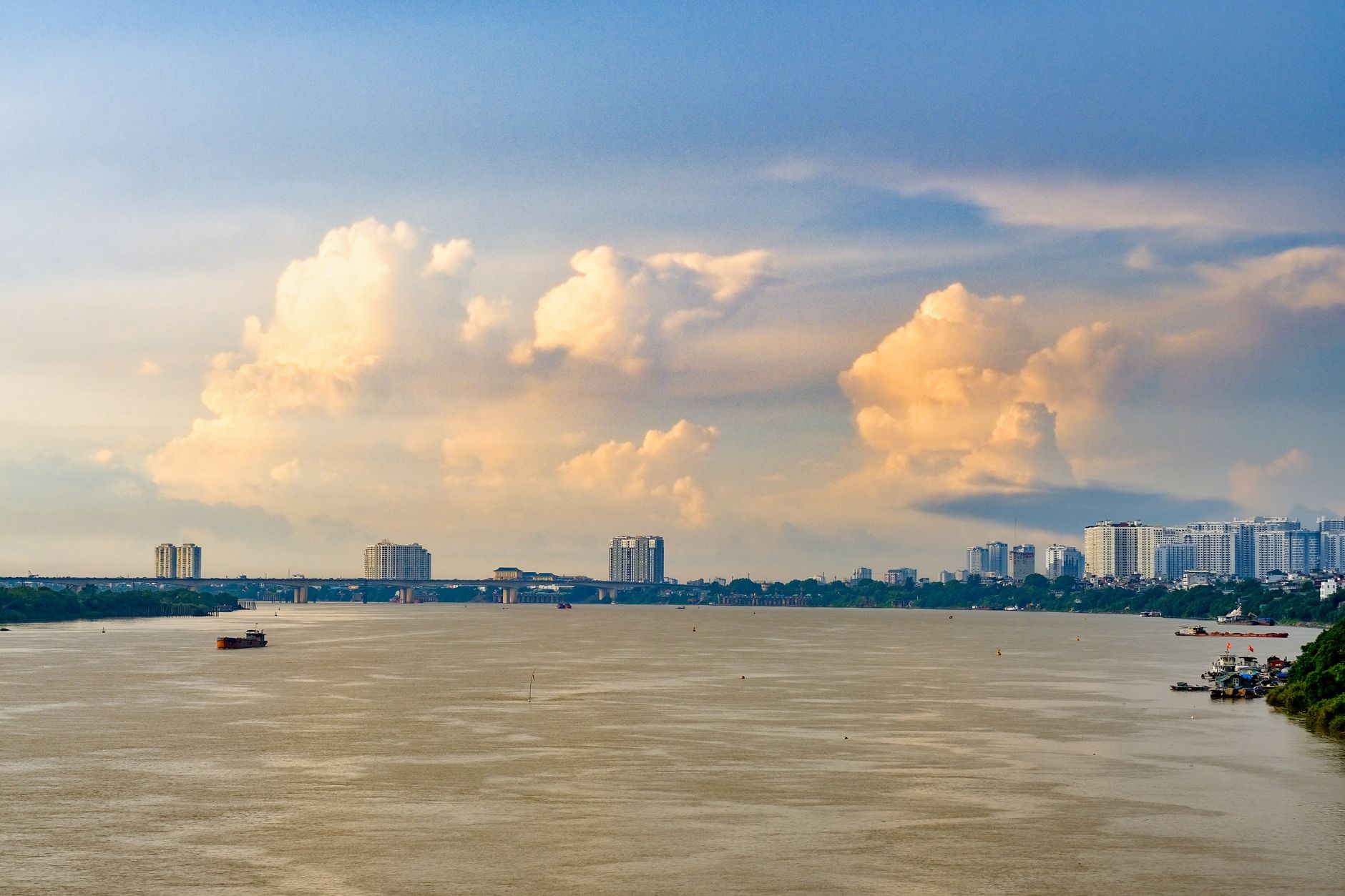


How Long Bien District came to be
The name Long Bien carries more history than the district's 2003 incorporation date suggests. The settlement of Long Biên served as a regional capital under Chinese imperial rule and, in the 6th century, as the capital of Lý Bí's kingdom of Vạn Xuân — the first Vietnamese state to claim full independence from China. Lý Bí founded that kingdom after driving out the Liang army, making this stretch of the Red River's east bank one of the earliest sites of Vietnamese self-determination.
Over the centuries the territory passed through the Lý dynasty's Thien Duc district, the Lê dynasty's Thuan An, and eventually into Bac Ninh Province under the Nguyễn. The French-built Paul Doumer Bridge — renamed Long Bien in 1954, the year Điện Biên Phủ fell — was bombed repeatedly between 1965 and 1968 and rebuilt by 1973. That bridge is still the district's clearest landmark and its most compressed history lesson.
Who and what shaped it
People who shaped it
Landmark buildings
See Long Bien District in motion
Plan your visit
On the map
When to go
Long Bien has a humid subtropical climate with a dry winter. The cooler months from November through February are the most comfortable for walking the bridge and exploring on foot; summers (June–August) are hot and wet, with frequent afternoon downpours that pass quickly but drench thoroughly.
Right now
Background & history adapted from Wikipedia (CC BY-SA) · specs from Wikidata (CC0) · weather from Open-Meteo · map data © OpenStreetMap contributors · photos from Wikimedia Commons / Unsplash with per-image credit. No third-party reviews or social posts reproduced.