
Lombok
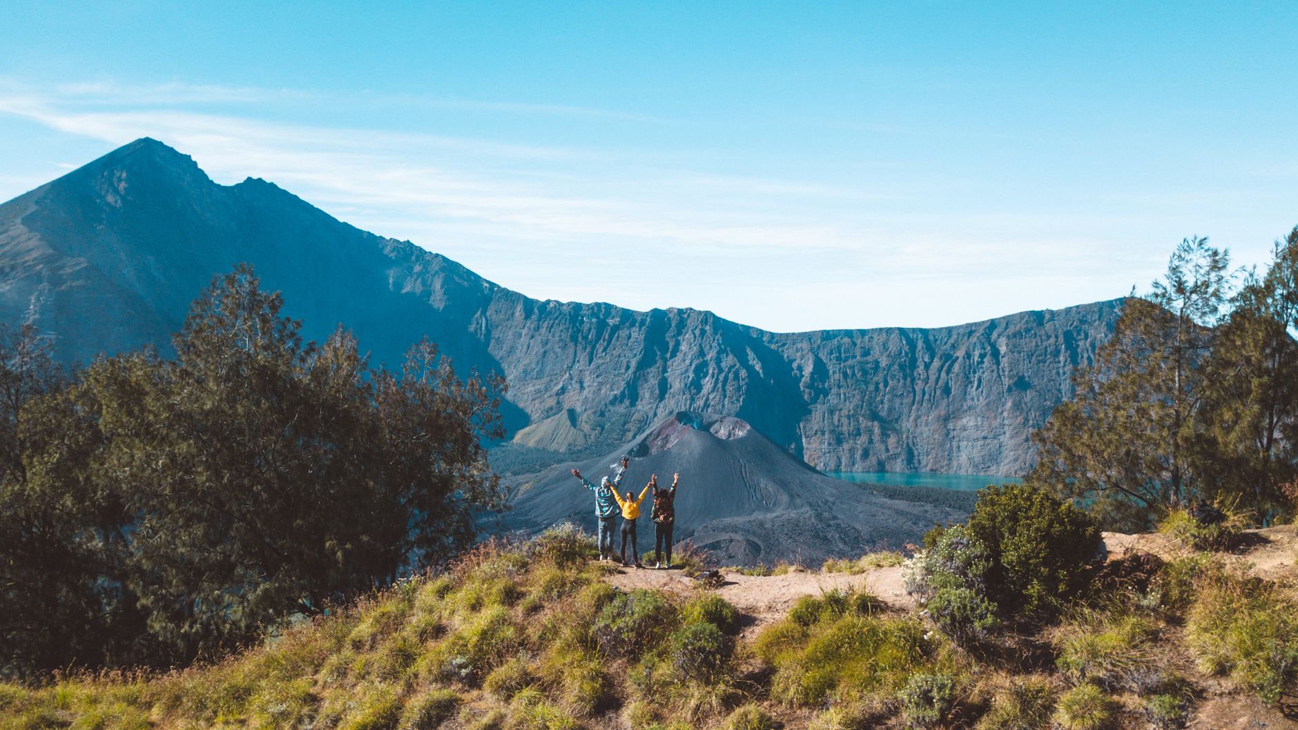
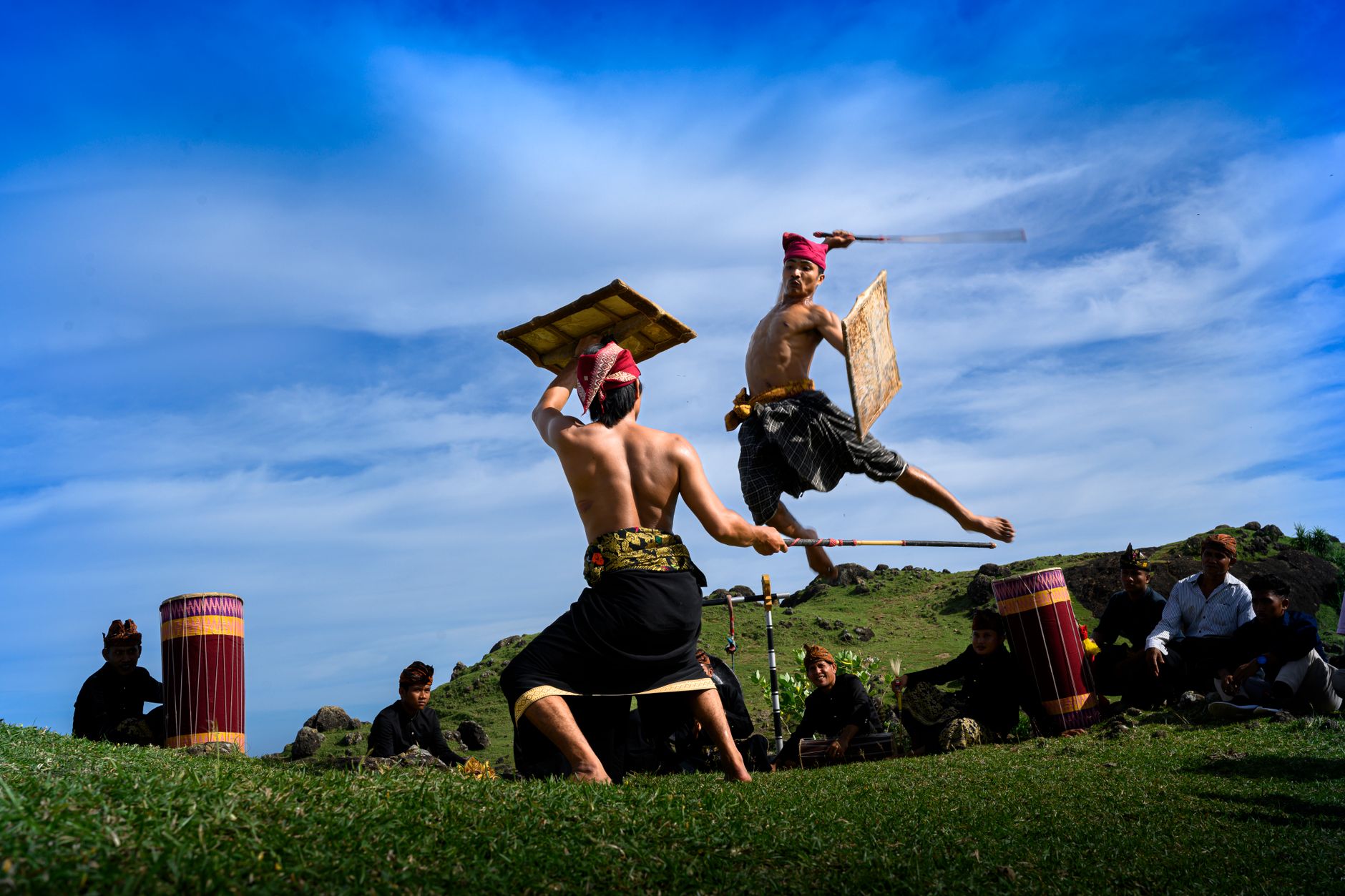
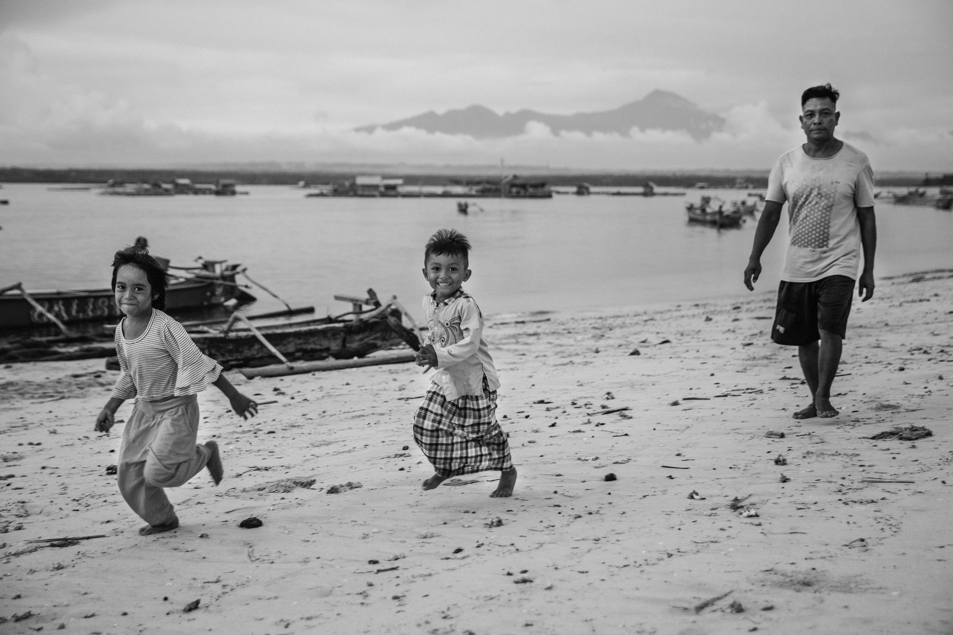
Lombok sits just east of Bali, thirty minutes by air and a world apart in atmosphere. The island's spine is Mount Rinjani, a 3,726-metre stratovolcano whose crater lake draws trekkers from across Southeast Asia, and whose 1257 eruption — one of the largest in recorded history — sent ash clouds that altered weather patterns across the northern hemisphere. The Sasak people, Lombok's indigenous majority, kept their own language, customs, and a syncretic form of Islam through centuries of Balinese, Makasari, and Dutch rule. That layered past is still legible in the landscape: Hindu temples and thatched mosques sometimes stand within a short walk of each other.
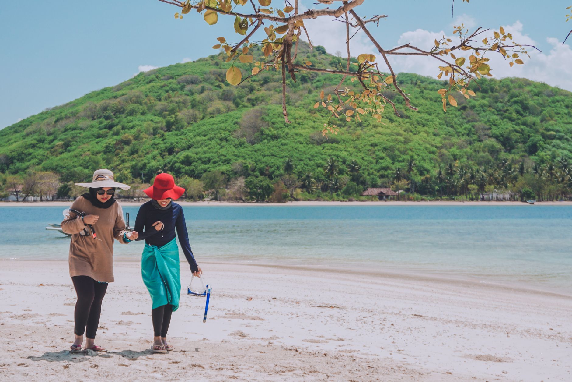
The south coast has surf-swept beaches around Kuta (unrelated to Bali's Kuta) and a string of bays that remain relatively quiet. The north is older and more rural, anchored by the villages of Bayan and Sembalun. The Gili Islands — covered separately on Yeppa — sit off the northwest coast and pull a distinct crowd of their own.
💛 What travellers fall for
People who come back tend to head straight for Sembalun on the eastern flank of Rinjani — the air is cooler, the strawberry farms are unexpected, and it's the quieter starting point for the crater-rim trek. They also mention Pura Lingsar in December, when the annual sticky-rice-throwing ceremony between Hindu and Wektu Telu worshippers draws locals rather than tour groups.
How Lombok came to be
Lombok appears in the 14th-century Majapahit chronicle Nagarakertagama as a vassal state, and local tradition credits a Majapahit prince with founding the island's two oldest settlements, Bayan and Sembalun. By 1640 it had passed under the Sultan of Makassar, and in the 17th century the King of Karangasem from Bali conquered the island, leaving a Hindu imprint that survives in temples built through the early 1700s — Pura Lingsar in 1714, Pura Meru in 1720, and the Taman Narmada water palace in 1727.
The Balinese Mataram kingdom signed contracts with the Dutch from 1843, but Dutch forces eventually moved to eliminate Balinese rule in 1894 after widespread Sasak resistance to it. The site of the decisive confrontation, the Mayura Water Palace in Mataram, is still visitable today. Japan landed at Ampenan port in March 1942; independence followed the war, and Lombok was incorporated into West Nusa Tenggara province in 1958 with Mataram as its capital.
Who and what shaped it
People who shaped it
Landmark buildings
See Lombok in motion
Plan your visit
On the map
When to go
The dry season runs from May to October — warm, low humidity, and reliable for trekking Rinjani or spending days on the south-coast beaches. November through April brings the wet season, with heavy afternoon downpours that can close mountain trails; the landscape turns intensely green and the island empties of most visitors.
Background & history adapted from Wikipedia (CC BY-SA) · specs from Wikidata (CC0) · weather from Open-Meteo · map data © OpenStreetMap contributors · photos from Wikimedia Commons / Unsplash with per-image credit. No third-party reviews or social posts reproduced.