
Lhasa, Tibet
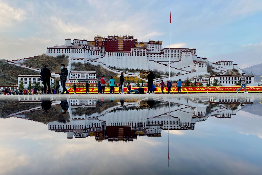
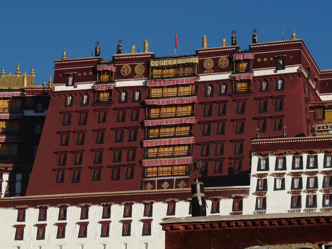
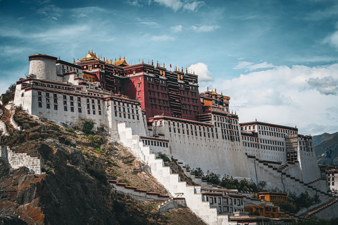
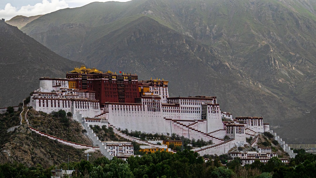
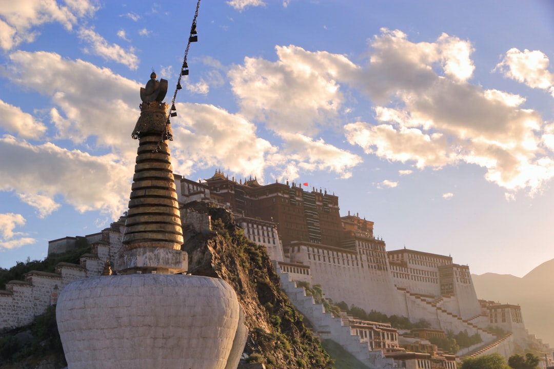
At 3,700 metres above sea level, the air in Lhasa arrives thin and bright, and the light on the Potala Palace — thirteen storeys of white and red rising from the Red Hill — is unlike anything you'll encounter at lower altitudes. The city sits in the Lhasa River Valley, ringed by mountains, and its gravitational centre has been religious and political for nearly fourteen centuries.
This is a city where pilgrims still complete the Barkhor circuit around the Jokhang Temple each morning, prayer wheels turning, and where the scent of juniper incense drifts through the old quarter. Lhasa rewards patience and acclimatisation in roughly equal measure.
How Lhasa, Tibet came to be
Lhasa's founding moment is specific: in 629 AD, Songtsen Gampo, the 33rd Zanpu of the Tubo Kingdom, chose the Lhasa River Valley as his capital. By 637 he was building on Red Hill, and by 641 the Jokhang and Ramoche Temples were standing — constructed to house two Buddha statues brought by his Nepali and Tang Dynasty princesses. The city's name, meaning 'Place of the Gods', was already forming around those first structures.
For several centuries after the monarchy's collapse in the 9th century, political power drifted elsewhere. Lhasa re-emerged in the 15th century when Je Tsongkhapa and his disciples founded Ganden, Sera and Drepung monasteries, anchoring a Buddhist revival. The 5th Dalai Lama, Lobsang Gyatso, completed the transformation in 1642, reunifying Tibet and making Lhasa once again the centre of government — and ordering construction of the present Potala Palace in 1645.
Who and what shaped it
People who shaped it
Landmark buildings
See Lhasa, Tibet in motion
Plan your visit
On the map
When to go
Summers (June–August) are mild by day but bring afternoon rain showers; spring and autumn offer clearer skies and more stable conditions. Winters are cold and dry, with temperatures dropping sharply at night, and some roads and sites may be restricted.
Right now
Background & history adapted from Wikipedia (CC BY-SA) · specs from Wikidata (CC0) · weather from Open-Meteo · map data © OpenStreetMap contributors · photos from Wikimedia Commons / Unsplash with per-image credit. No third-party reviews or social posts reproduced.