
Lhasa

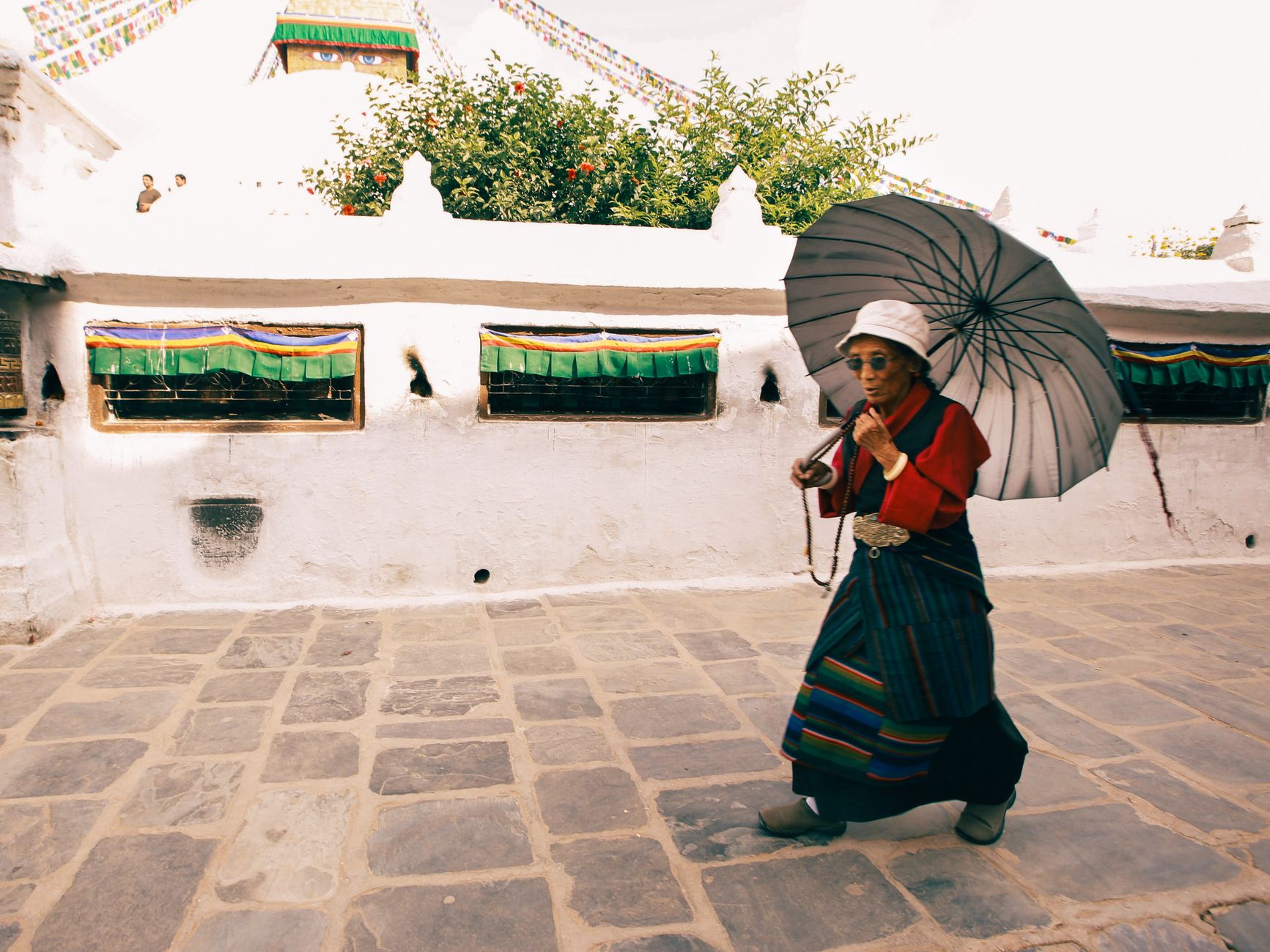

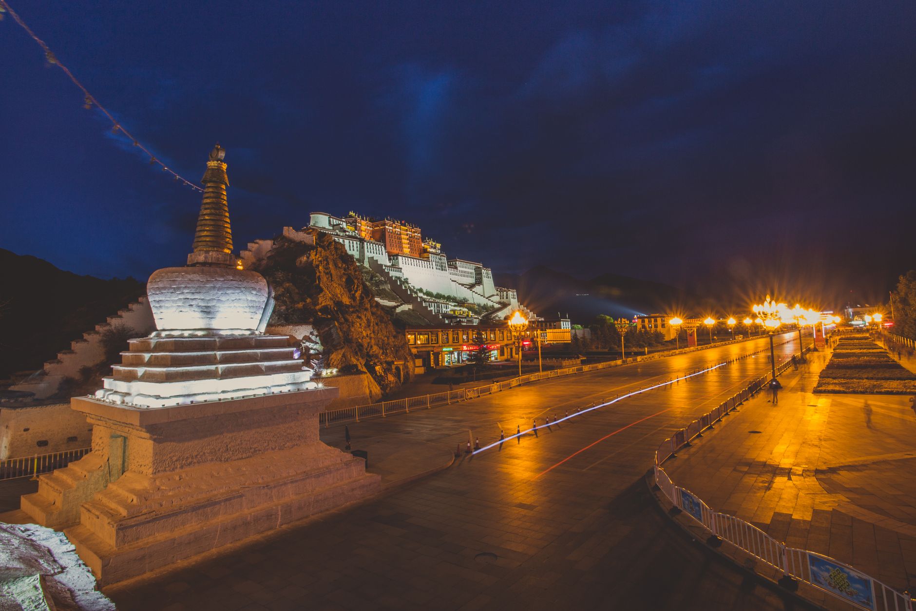
At 3,650 metres above sea level, Lhasa does something to the light that you won't find anywhere else — the sky is a shade of blue that seems almost engineered, and shadows fall sharp and clean against whitewashed walls. This is the capital of the Tibet Autonomous Region, a city built around pilgrimage routes where monks and worshippers still circle the Jokhang Temple at dawn, prayer wheels turning.
Three UNESCO World Heritage sites sit within the city limits: the Potala Palace rising 117 metres above the Red Hill, the Jokhang at the centre of the old town, and Norbulingka, Tibet's largest garden. Getting here requires permits arranged through a registered travel agency — that paperwork shapes the pace of every visit.
How Lhasa came to be
Lhasa began as Rasa — goat's place — a herding ground in the valley of the Lhasa River. In 633 A.D., King Songtsen Gampo unified Tibet's scattered tribes, chose this valley as his capital, and commissioned the Jokhang Temple, completing it in 647. The name changed to Lhasa, place of gods, as the city took shape around that founding shrine.
The 15th century brought another transformation when Je Tsongkhapa and his disciples founded three great monastic universities — Ganden, Sera and Drepung — on the city's outskirts, anchoring a sweeping Buddhist revival. In 1642, the 5th Dalai Lama, Lobsang Gyatso, consolidated power over all of Tibet and moved his administration here. He ordered construction of the present Potala Palace in 1645; the White Palace was ready for occupation by 1649, though the full interior took another 45 years to finish.
Who and what shaped it
People who shaped it
Landmark buildings
See Lhasa in motion
Plan your visit
On the map
When to go
The best months to visit are April through October, when days are sunny and temperatures manageable, though nights remain cold even in summer. Winter brings harsh frost and some road closures, and the altitude means thin air year-round — most visitors need a day or two simply to acclimatise before doing much walking.
Right now
Background & history adapted from Wikipedia (CC BY-SA) · specs from Wikidata (CC0) · weather from Open-Meteo · map data © OpenStreetMap contributors · photos from Wikimedia Commons / Unsplash with per-image credit. No third-party reviews or social posts reproduced.