
Lemaire Channel
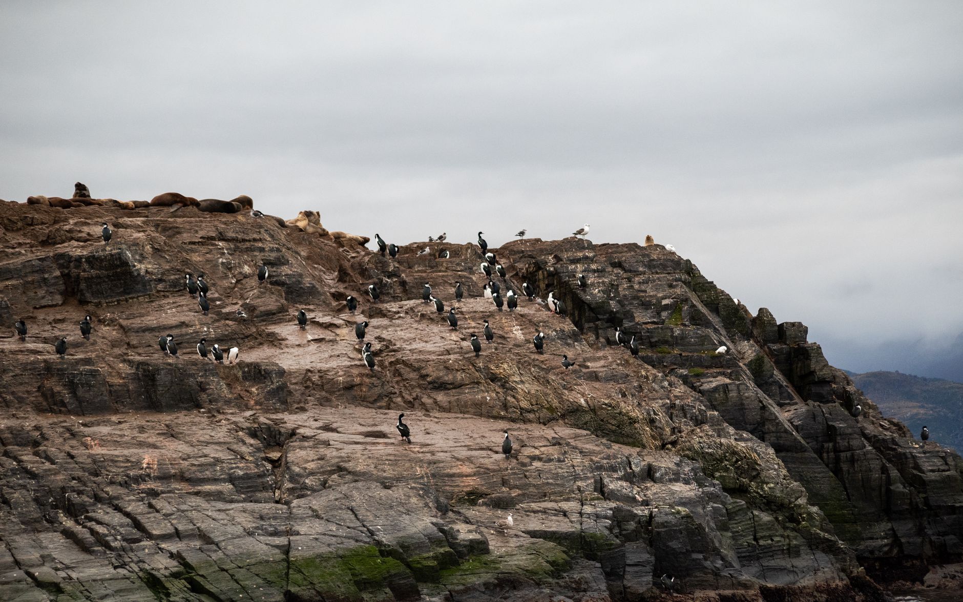
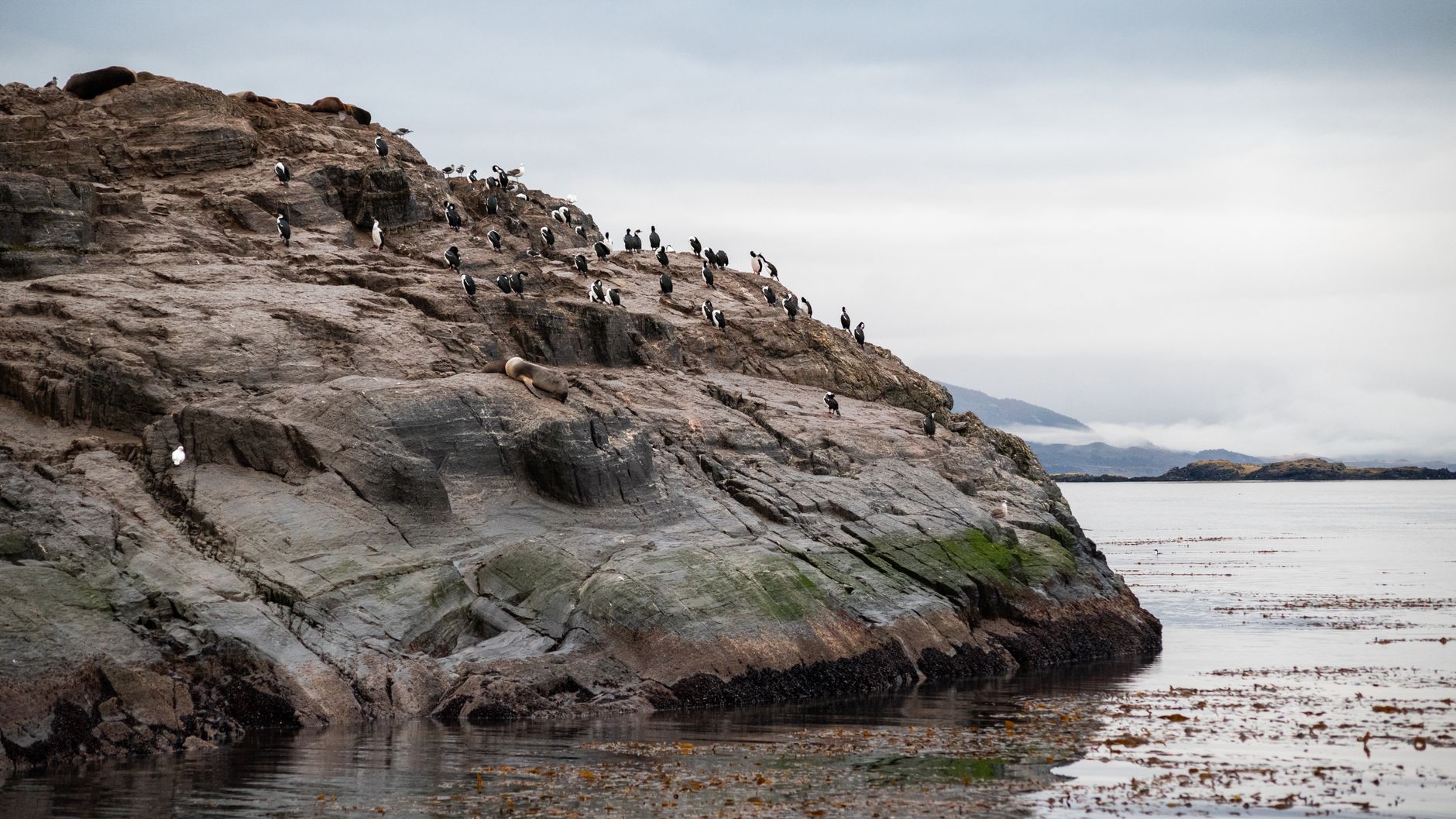
At its narrowest, the Lemaire Channel closes to 600 metres across — barely wider than a city block — with Mount Cloos on the mainland and Wandel Peak on Booth Island rising 300 metres on either side. Your ship moves through as if threading a needle, the water so still on a calm day that the black basalt walls and hanging glaciers double themselves in the surface below you.
The channel runs just 11 kilometres end to end, and the sailing time is roughly an hour — longer if humpbacks appear, which they often do in January and February. Crabeater seals drape themselves across passing ice floes. Cape Renard's twin basalt towers mark the northern entrance like a gate someone forgot to close.
How Lemaire Channel came to be
A German expedition sighted the channel in 1873–74 but did not attempt a transit. That came on 12 February 1898, when the Belgica — the ship of Adrien de Gerlache's Belgian Antarctic Expedition — made the first recorded passage through. De Gerlache named it for Charles Lemaire, a Belgian explorer then known for his work in the Congo, who never came anywhere near Antarctica.
A few years later, French explorer Jean-Baptiste Charcot wintered nearby at Port Charcot on Booth Island in 1904, and remnants of that camp still stand close to the channel's edge — a quiet marker of the era when Antarctic geography was still being written down for the first time.
Who and what shaped it
People who shaped it
Landmark buildings
See Lemaire Channel in motion
Plan your visit
On the map
When to go
January and February bring the mildest conditions, with temperatures around 0–5°C and mostly cleared ice. November and December offer pristine early-season ice formations; by March, temperatures drop and daylight shortens as ice begins to reform. The channel's protected waters are unusually calm by Antarctic standards, but conditions can shift within hours.
Right now
Background & history adapted from Wikipedia (CC BY-SA) · specs from Wikidata (CC0) · weather from Open-Meteo · map data © OpenStreetMap contributors · photos from Wikimedia Commons / Unsplash with per-image credit. No third-party reviews or social posts reproduced.