
Lefkada
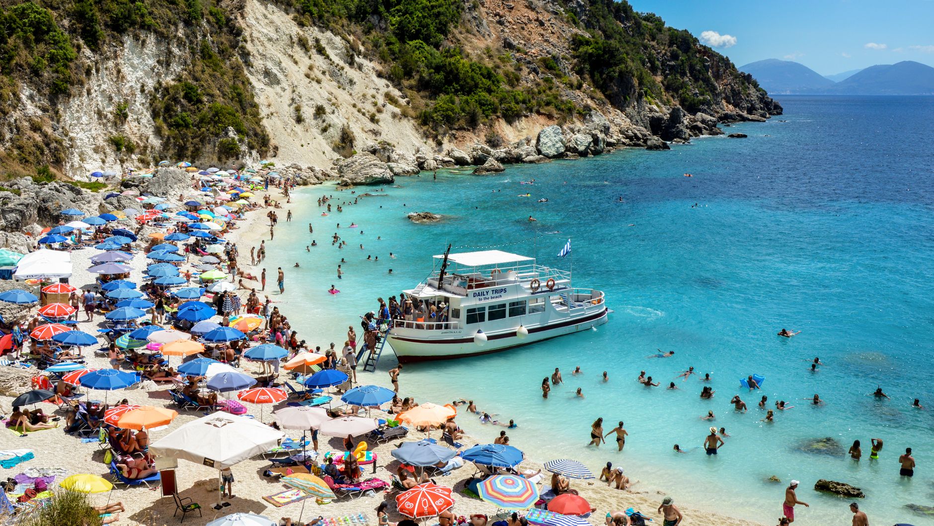
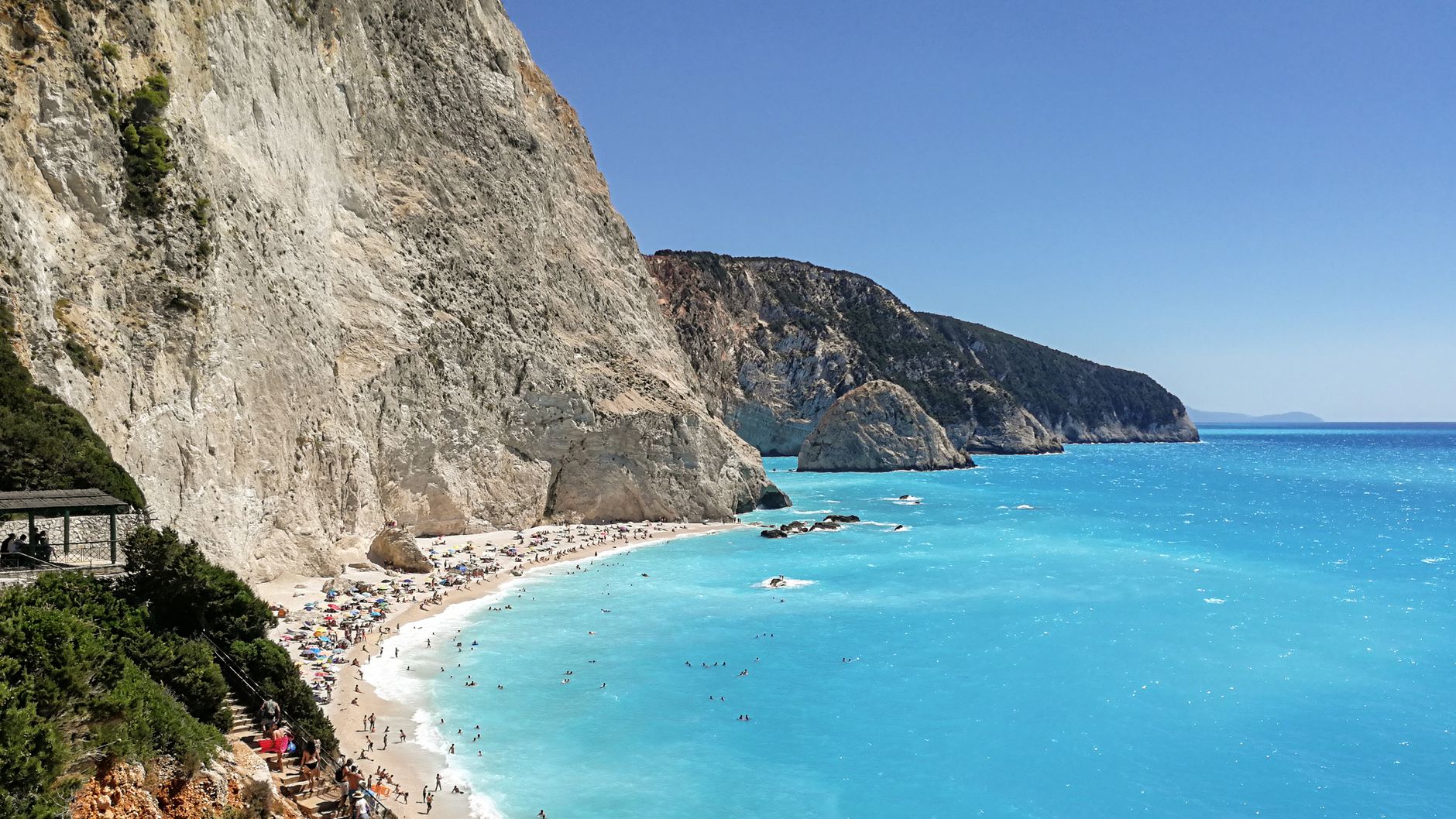
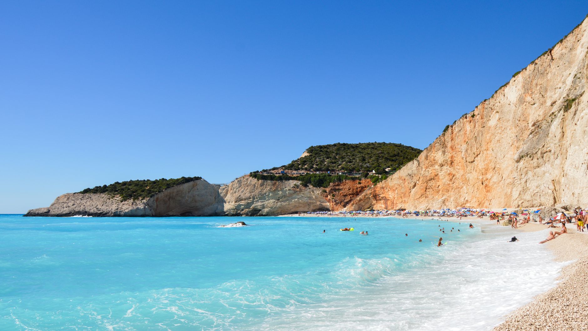
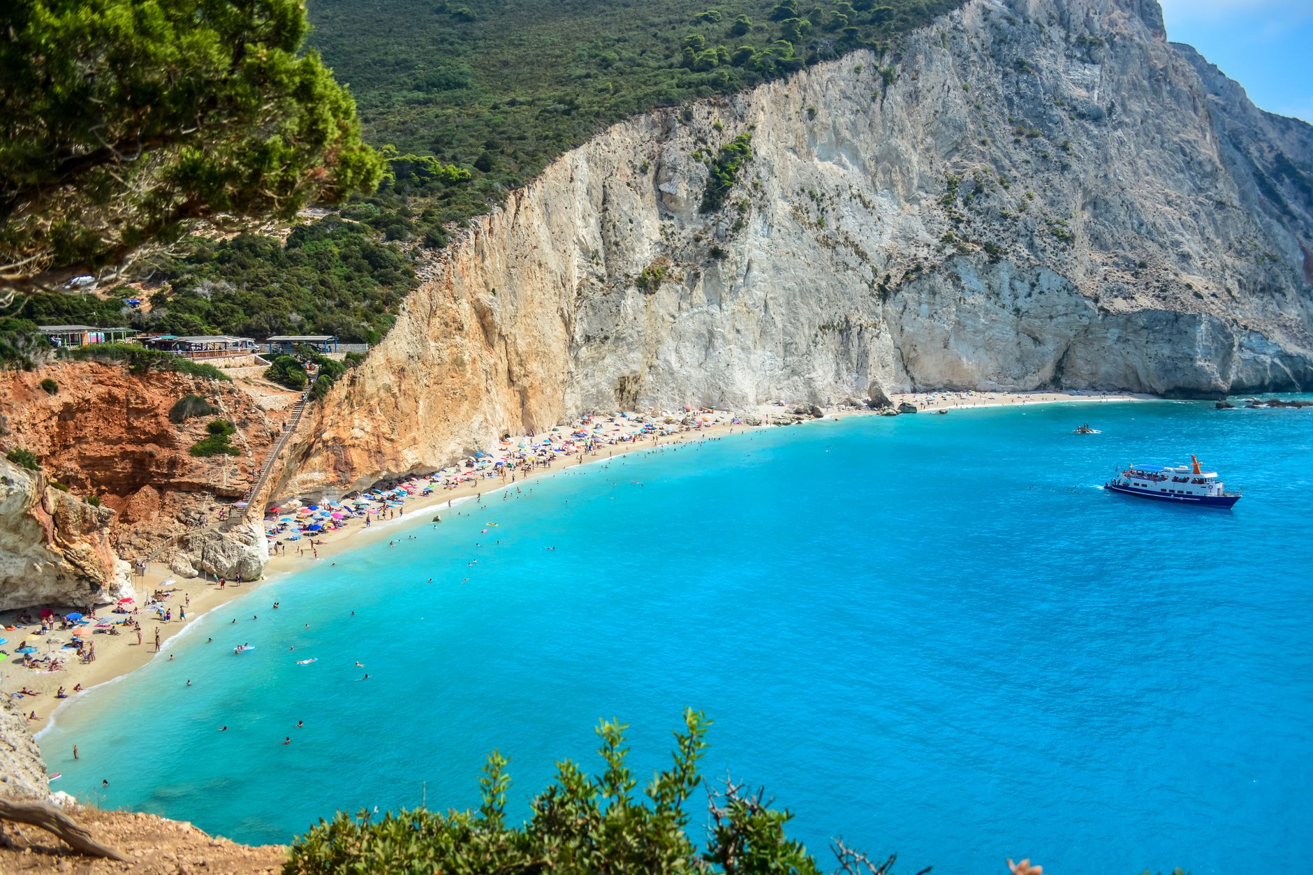
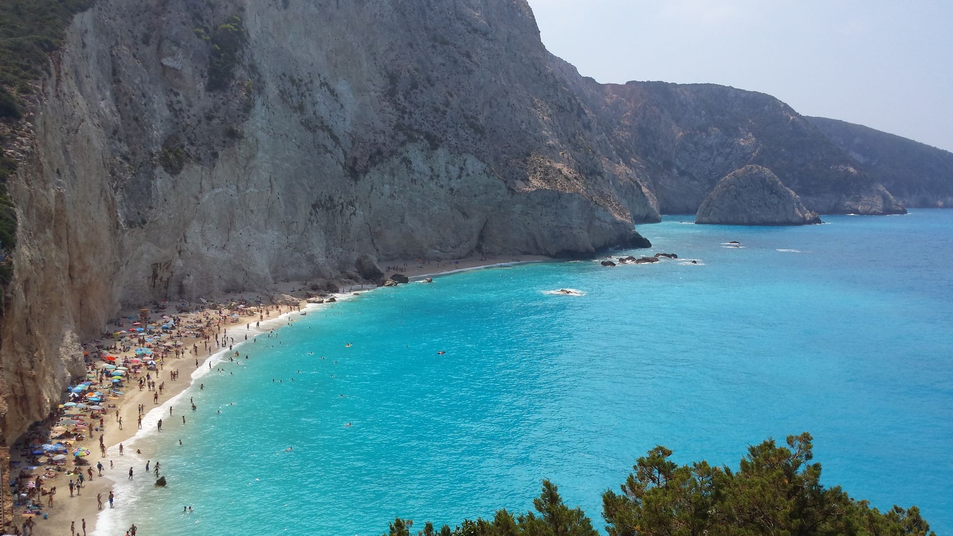
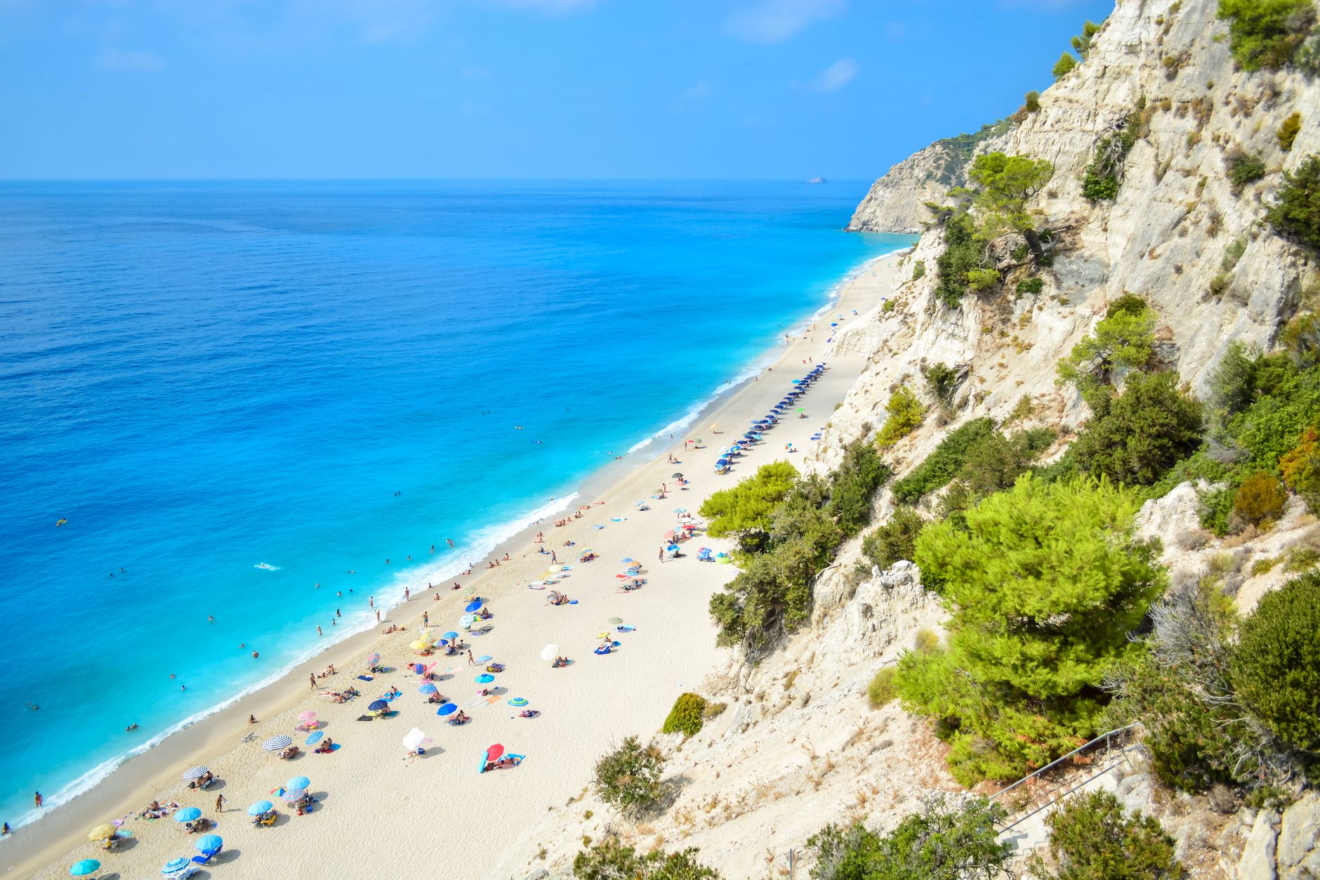
Lefkada is technically an island, but you drive onto it — across a 50-metre floating bridge, toll-free, from the Greek mainland — which sets the tone immediately. This place doesn't perform its insularity. The capital's upper storeys are clad in painted sheet iron, each house a different colour, the whole town a kind of accidental grid of terracotta and sage and pale blue, rebuilt after earthquakes to British anti-seismic specifications.
Below the town, a 620-berth marina keeps the Ionian sailing crowd fed and watered. South, the island narrows to Cape Ducato, where a lighthouse built in 1913 marks the end of the land.
💛 What travellers fall for
People who return tend to time it around the sailing calendar — the marina fills early in June and empties fast in October. They also mention parking near the castle of Agia Mavra before 9am, when the light on the water is better than anything you'll find later in the day.
How Lefkada came to be
Flint tools place humans here as far back as 8000 BC, but it was Corinthian colonists in the 7th century BC who gave Lefkada its defining geographic trick: they dug the canal that separates the island from the mainland around 650 BC, and spanned it with what became the longest stone bridge of ancient Greece. The Orsini family ruled until 1331, leaving behind the Castle of Agia Mavra. Venice shaped the capital's location — Francesco Morosini moved it in 1684 to what had been a settlement of salt-pan workers.
Earthquakes have been the other great force on the island. The 1825 quake destroyed much of the town, including an Ottoman aqueduct. The 1953 earthquake nearly levelled it again. The coloured iron-clad houses you see today are the result: light, load-bearing wooden upper storeys engineered to survive the next one.
Who and what shaped it
People who shaped it
Landmark buildings
See Lefkada in motion
Plan your visit
On the map
When to go
Summers run hot and dry, with August averaging 26 °C at sea level; winters are cool and wet, January averaging around 10 °C. Spring and early autumn offer the most comfortable conditions for moving around the island on foot or by car.
Right now
Background & history adapted from Wikipedia (CC BY-SA) · specs from Wikidata (CC0) · weather from Open-Meteo · map data © OpenStreetMap contributors · photos from Wikimedia Commons / Unsplash with per-image credit. No third-party reviews or social posts reproduced.