
Lat Phrao



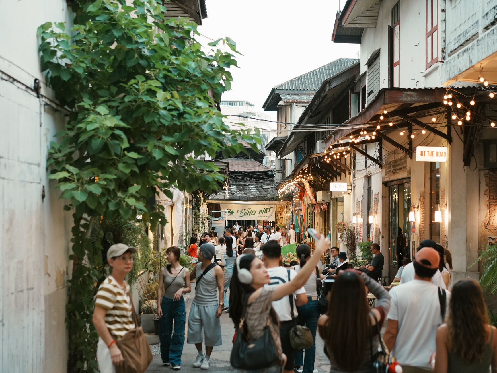

The name gives you something to hold onto: Lat Phrao means "slope of coconut," and the district seal still shows a coconut tree pushing out two fresh leaves — a quiet nod to the orchards that once lined these canals before Bangkok's northeastern sprawl took over. Today the coconuts are gone, replaced by a web of long residential roads that fan out into hundreds of sois, each one a small world of shophouses, morning markets, and motorcycle repair shops.
Lat Phrao is where a large portion of Bangkok actually lives. The Lat Phrao Canal threads through the district, the MRT crosses it at two lines, and the wet markets fill up before dawn with people who have no interest in being tourists anywhere.
💛 What travellers fall for
People who keep coming back tend to mention the same thing: the morning market rhythm along Lat Pla Khao Road before the heat sets in, and Wat Lat Pla Khao for a quiet half-hour with the Sukhothai-style Luang Pho Yim image when the temple is almost empty. Take a motorcycle taxi down one of the Chok Chai 4 sub-sois if you want to see how the city actually fits together.
Deals in Lat Phrao
Book directly at the provider

How Lat Phrao came to be
Lat Phrao spent most of its modern life as a tambon within Bang Kapi district, administratively part of Phra Nakhon province. The Khlong Saen Saep canal — dug during King Rama III's reign — defined the area's geography long before any roads arrived. Lat Phrao Road itself wasn't built until 1945, the year World War II ended, connecting this residential fringe more firmly to the city.
On 4 September 1989, Lat Phrao was formally split from Bang Kapi and established as its own district, alongside Bueng Kum. Eight years later, in 1997, its boundaries were redrawn again to balance population across Bangkok's expanding district grid — a bureaucratic adjustment that quietly shaped the neighborhood patterns visible today.
Who and what shaped it
Landmark buildings
See Lat Phrao in motion
Plan your visit
On the map
When to go
From November through February the humidity drops enough that mornings feel almost manageable, with temperatures hovering around 26°C — this is the window to walk the sois without wilting. May through October brings heat that peaks early and rain that arrives hard in the afternoon, usually clearing by evening; September, with around 244 mm of rainfall, is the month to plan around rather than through.
Right now
Background & history adapted from Wikipedia (CC BY-SA) · specs from Wikidata (CC0) · weather from Open-Meteo · map data © OpenStreetMap contributors · photos from Wikimedia Commons / Unsplash with per-image credit. No third-party reviews or social posts reproduced.