
Las Cuevas Bay
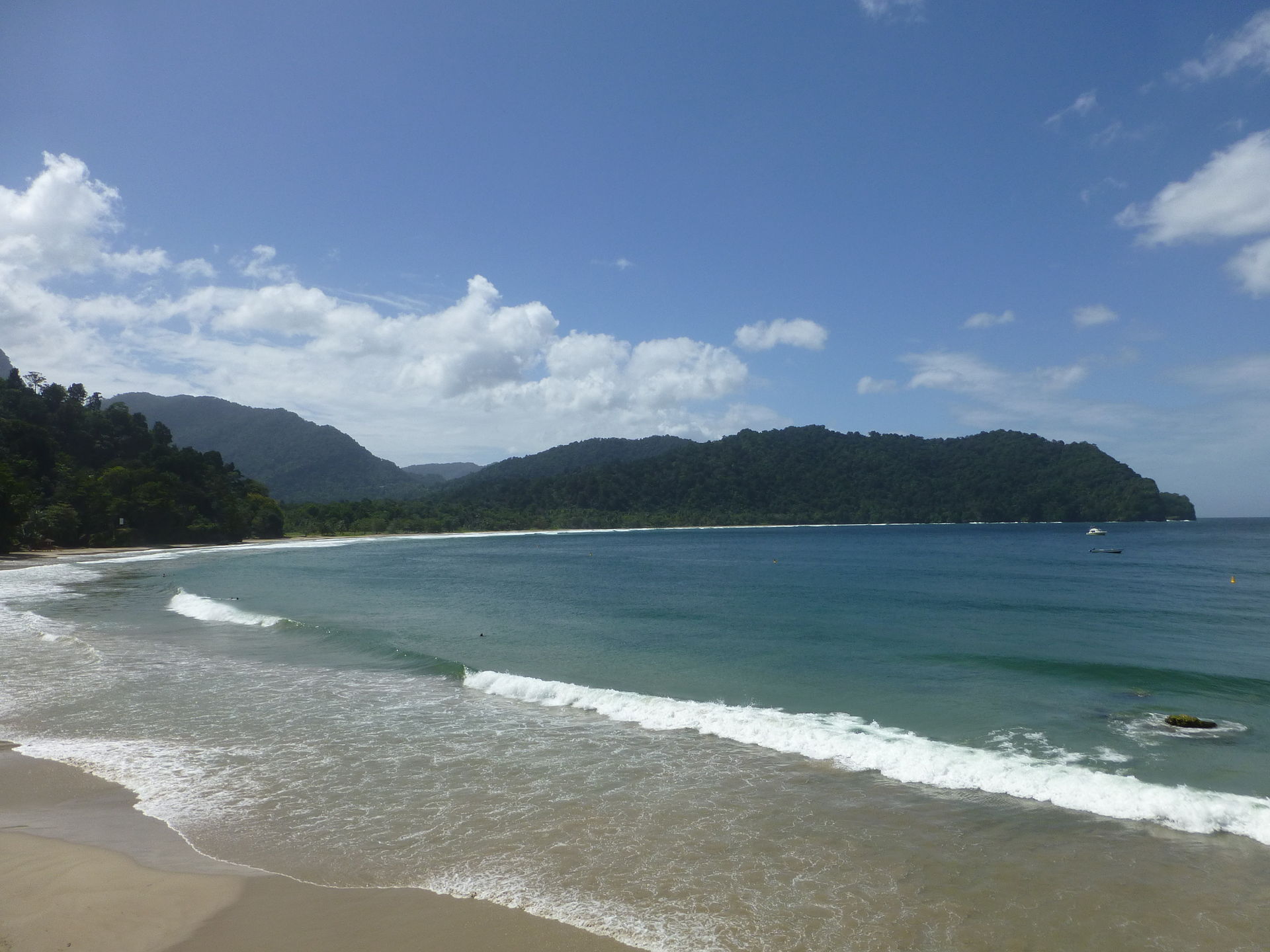
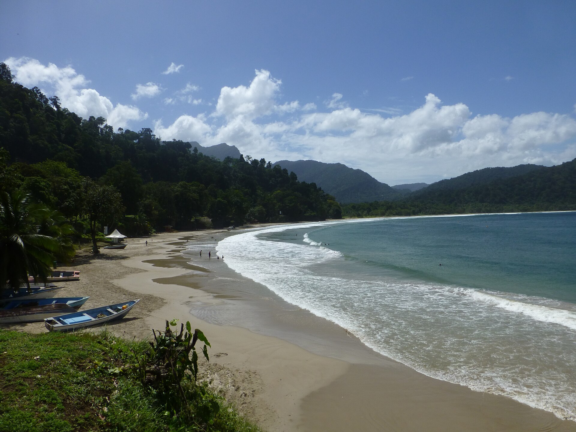
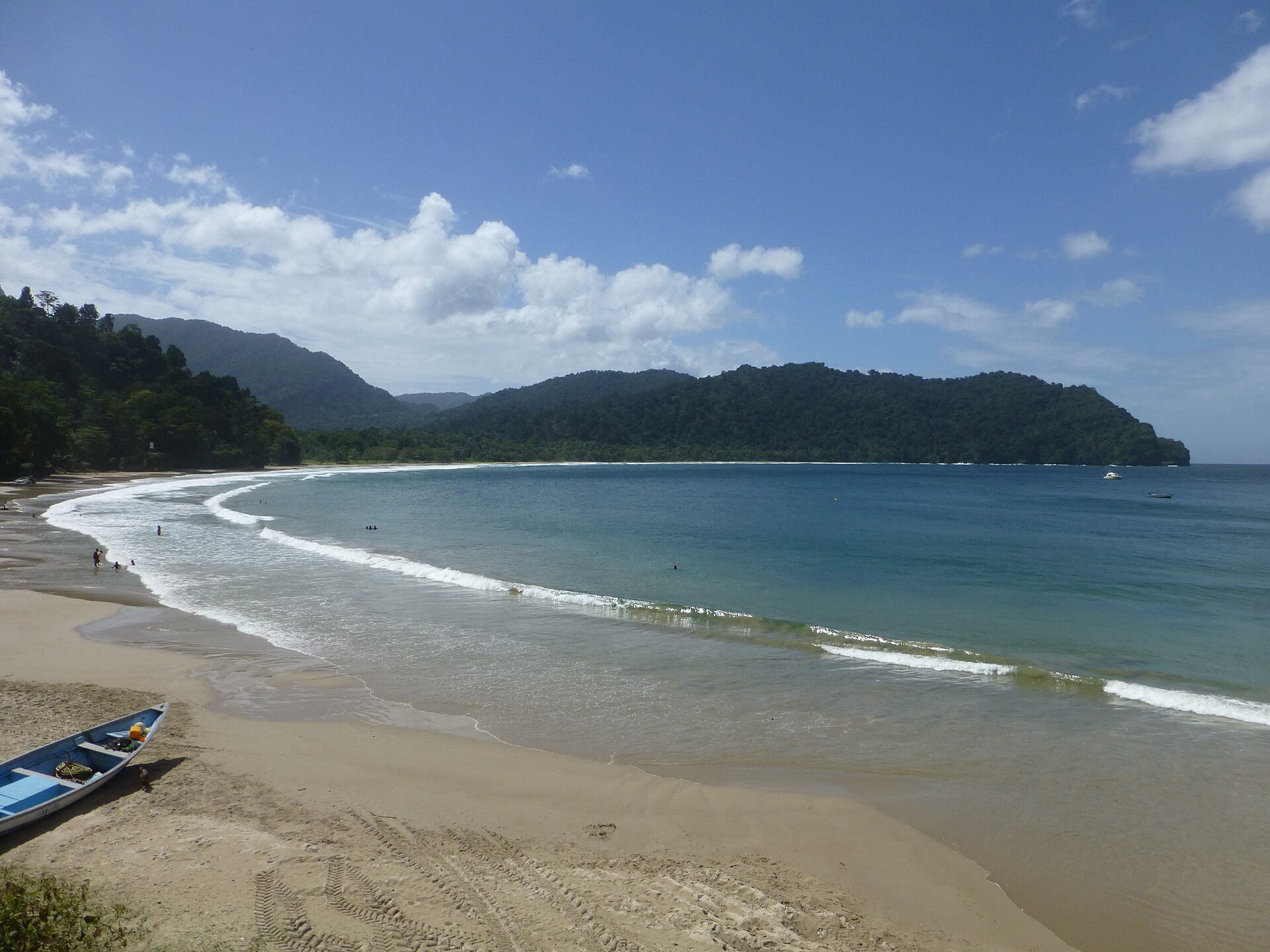
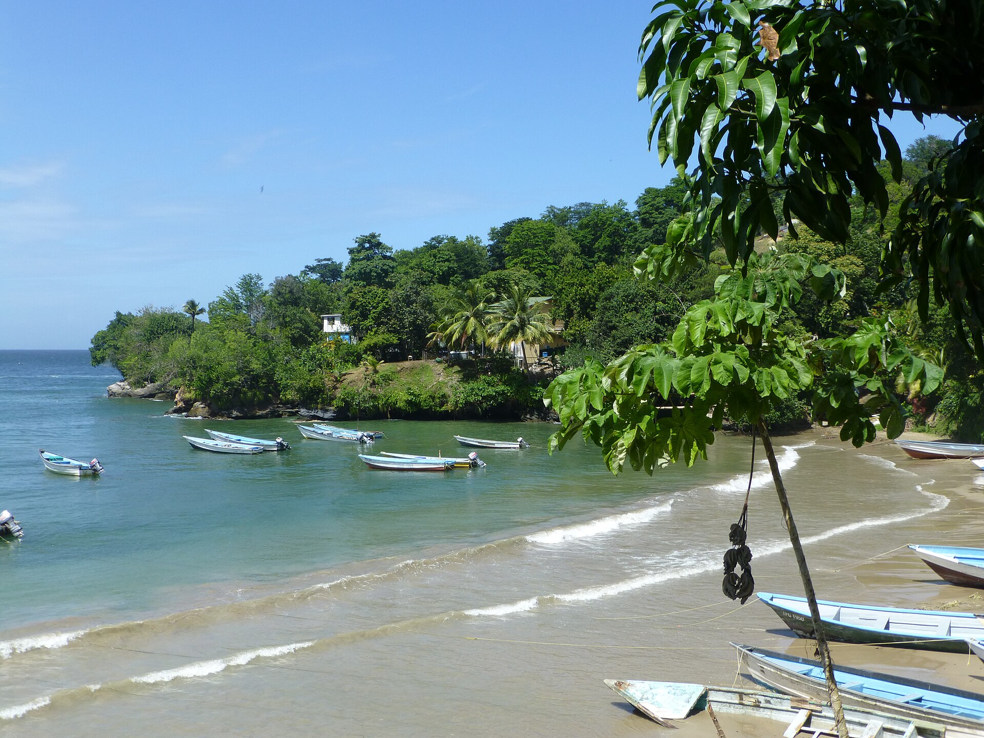
Seven kilometres east of Maracas Bay, the North Coast Road rounds a bend and Las Cuevas opens below you — a 2.2-kilometre arc of grayish-brown quartz sand cupped between two headlands, quieter than its famous neighbour and shaped by the land behind it. Almond trees lean over the western flats where the Cuaraguate River threads through low plains toward the sea, while the eastern end rises to steep cliffs with a beach facility, a fishing post, and the old cannons of Fort Abercromby standing at the point.
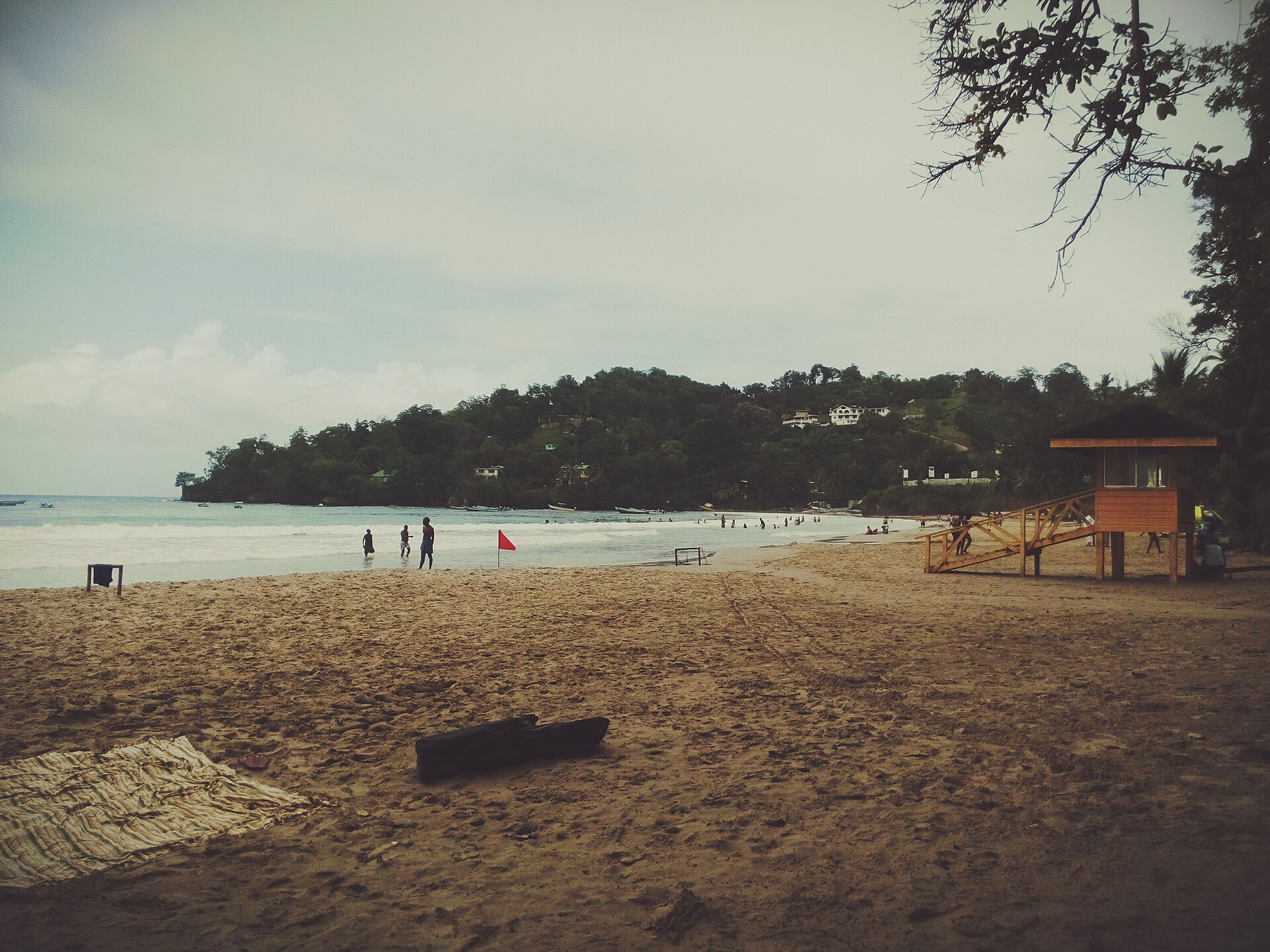
The horseshoe shape does real work here: it cuts the wind and keeps the breakers gentler than what you'll find down the road, which is why swimmers tend to favour the eastern stretch where lifeguards patrol and flags tell you what the sea is doing that day.
💛 What travellers fall for
Return visitors tend to time their trips to the Lodge's restaurant — it runs sixteen hours a day and a full local breakfast on the bluff above the water sets the tone for the whole morning. Surfers peel off to the western section; everyone else gravitates east. If you're driving, arrive before 10 a.m. or budget thirty minutes for parking.
How Las Cuevas Bay came to be
The bay takes its name from the Spanish word for caves — cuevas — and the small caves and cliff notches at its southwestern and eastern ends that gave early visitors something to navigate by and, according to local tradition, somewhere to disappear into. The caves are said to have served as cover for pirates and smugglers working the Caribbean coast, though that history is more oral than documented.
At Abercromby Point, the eastern headland, Fort Abercromby still stands with its cannons aimed seaward — a remnant of the colonial-era impulse to control what arrived by sea. Its exact construction date is unrecorded, but the fort's position makes the strategic logic plain: anyone coming around that point would have been visible long before they reached shore.
Who and what shaped it
Landmark buildings
See Las Cuevas Bay in motion
Plan your visit
On the map
When to go
January through May brings dry-season sun, low humidity, and the calmest swimming conditions — breakers average around 48 cm in the bay. From June onward the wet season brings heavier rain, more mosquitoes in the forest behind the beach, and sand-flies that peak toward dusk; between November and April, swells can reach 1.5 metres.
Right now
Background & history adapted from Wikipedia (CC BY-SA) · specs from Wikidata (CC0) · weather from Open-Meteo · map data © OpenStreetMap contributors · photos from Wikimedia Commons / Unsplash with per-image credit. No third-party reviews or social posts reproduced.