
Langtang National Park
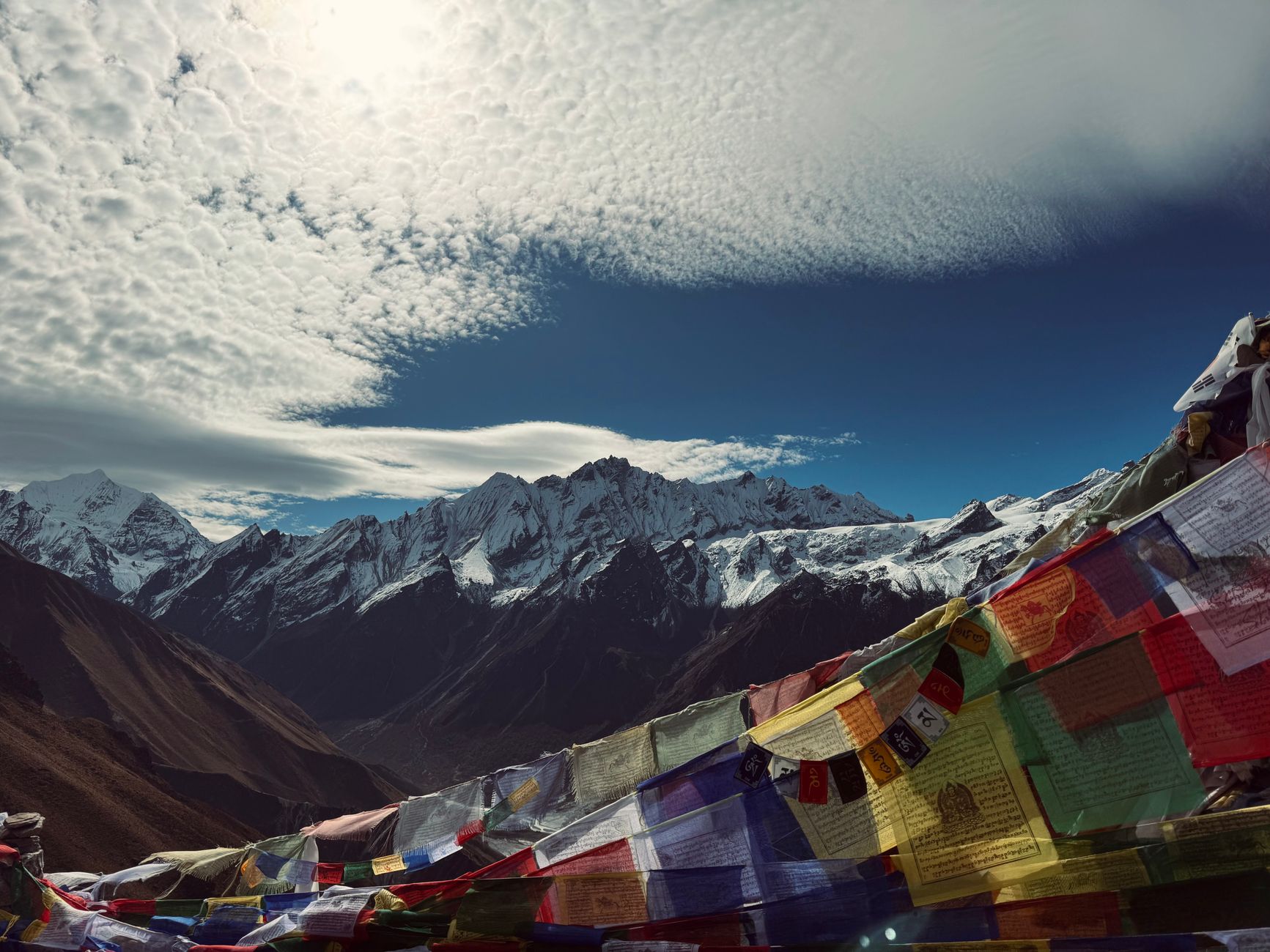
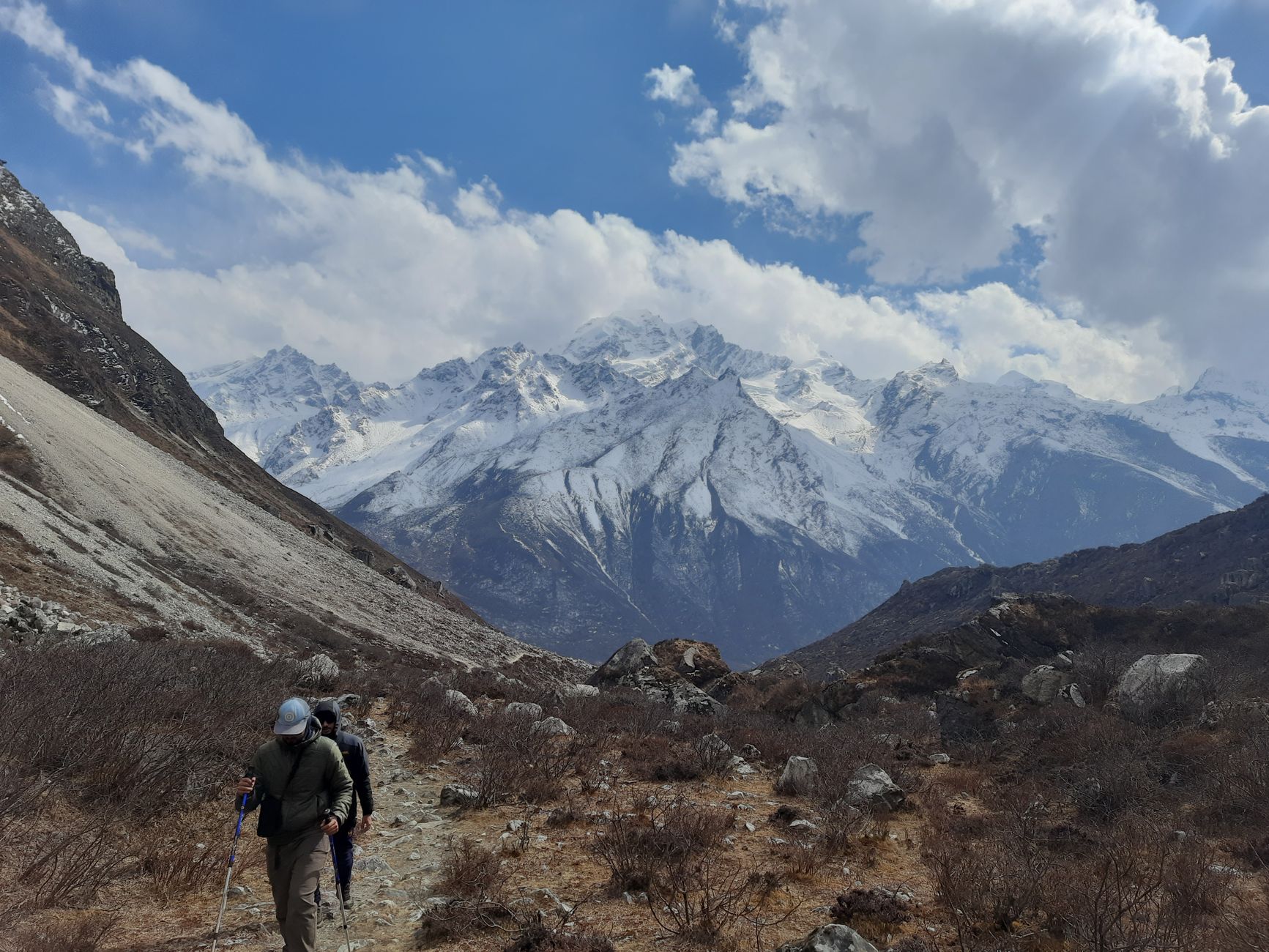

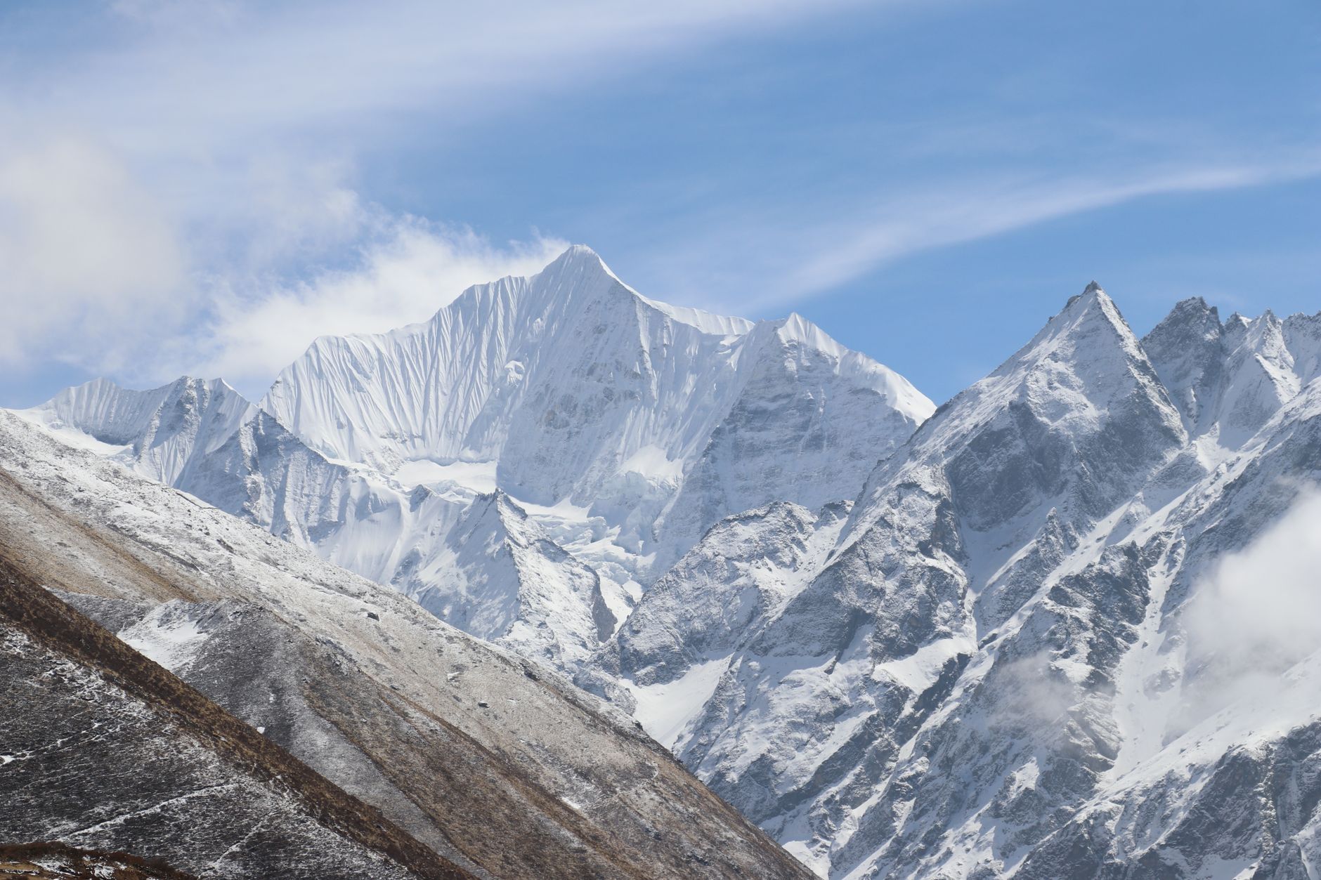

Langtang National Park begins where the road runs out. From Syabrubesi, the only way in is on foot, and within a day's walk the valley closes around you — glaciated peaks pressing in from both sides, yak herders moving through thin air, the smell of juniper smoke drifting from stone teahouses. Langtang Lirung, at 7,245 metres, holds the skyline to the north.
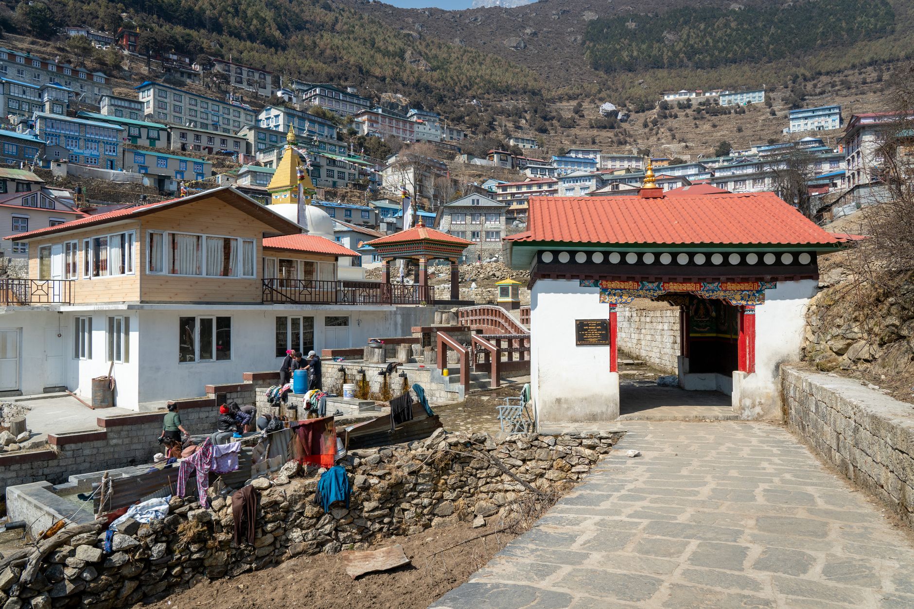
The park shelters 26 Tamang villages whose communities have farmed and grazed these slopes for centuries. At Kyanjin Gompa, 3,870 metres up, a small Buddhist monastery sits beside a dairy where yak cheese has been made in the same way for generations — ask which wheel is freshest.
💛 What travellers fall for
Regulars tend to arrive with the standard eight-day itinerary and leave wishing they'd added two more days at Kyanjin Gompa for the side routes above the valley floor. The Gosainkunda lake — a sacred high-altitude tarn at 4,300 metres — rewards those who build it into a longer loop rather than treating it as an afterthought.
How Langtang National Park came to be
Langtang became Nepal's first Himalayan national park on 22 March 1976, gazetted under the National Parks and Wildlife Conservation Act of 1973 — the country's fourth protected area overall. A 420 km² buffer zone was added in 1998, extending the park's reach into the surrounding ridges.
The park carries the weight of two catastrophes. On 31 July 1992, Thai Airways Flight 311 crashed into the park on approach to Kathmandu, killing all 113 people aboard. Then, in April 2015, an avalanche of ice, rock and debris triggered by the Nepal earthquake destroyed the village of Langtang, killing at least 215 people. The village has since been partially rebuilt, and trekkers moving through it today walk ground that the Tamang community has reclaimed with quiet persistence.
Who and what shaped it
Landmark buildings
See Langtang National Park in motion
Plan your visit
On the map
When to go
Spring (March–May) brings rhododendron bloom and daytime temperatures of 10–20°C, while autumn (September–November) offers the driest, most stable skies. Monsoon season (June–September) delivers the bulk of annual rainfall; winter above 3,000 metres means genuine cold and snow, particularly in January and February.
Right now
Background & history adapted from Wikipedia (CC BY-SA) · specs from Wikidata (CC0) · weather from Open-Meteo · map data © OpenStreetMap contributors · photos from Wikimedia Commons / Unsplash with per-image credit. No third-party reviews or social posts reproduced.