
Langkawi
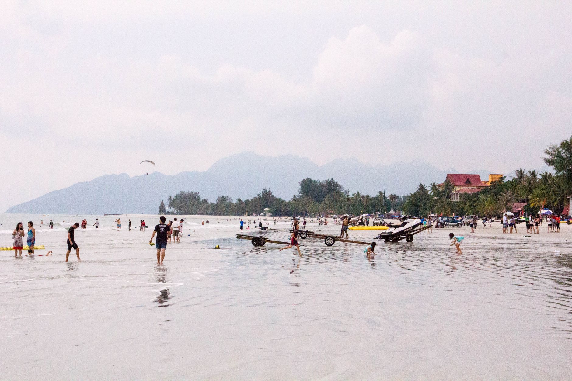
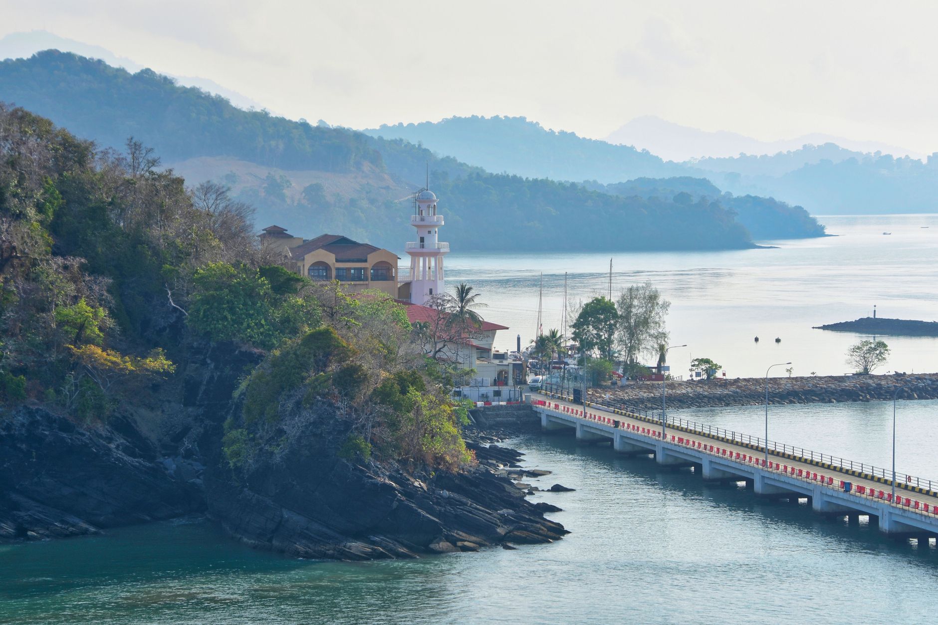
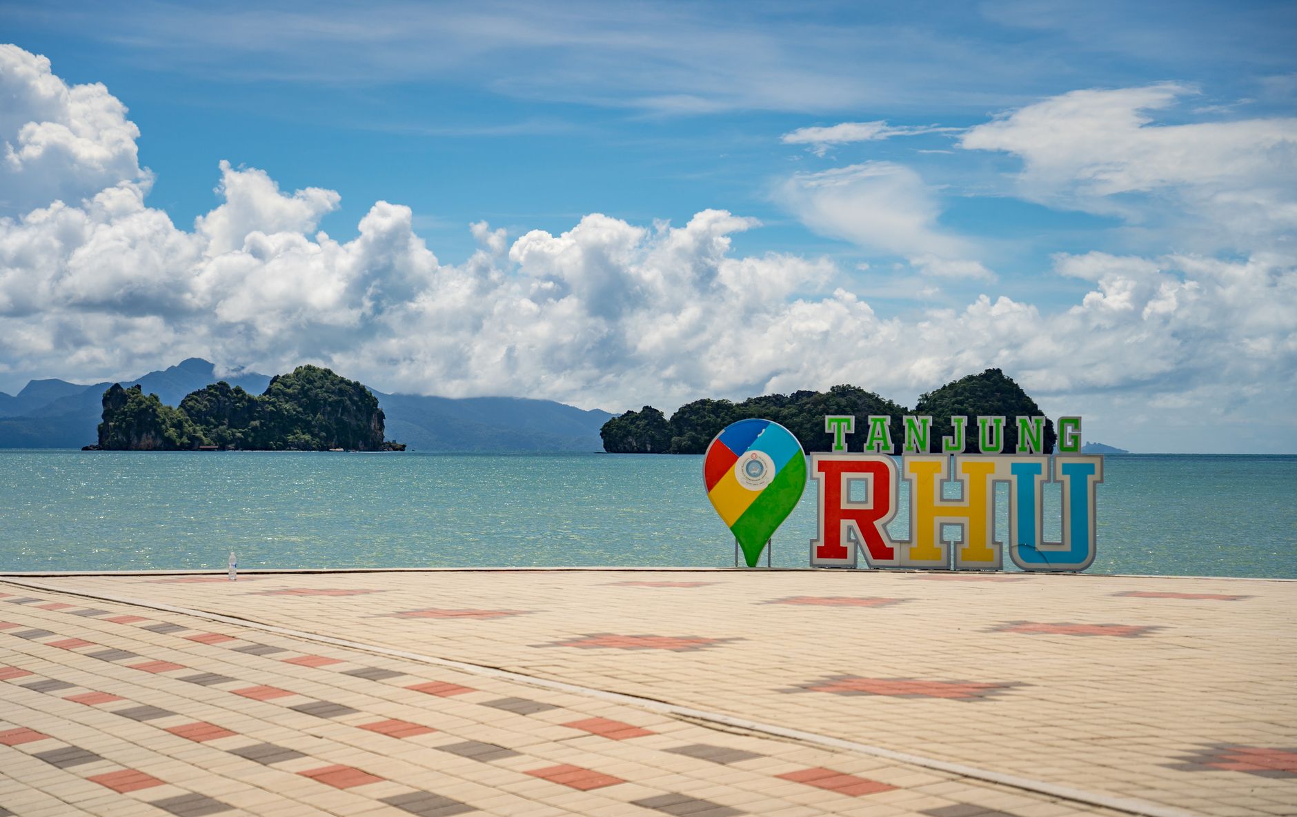
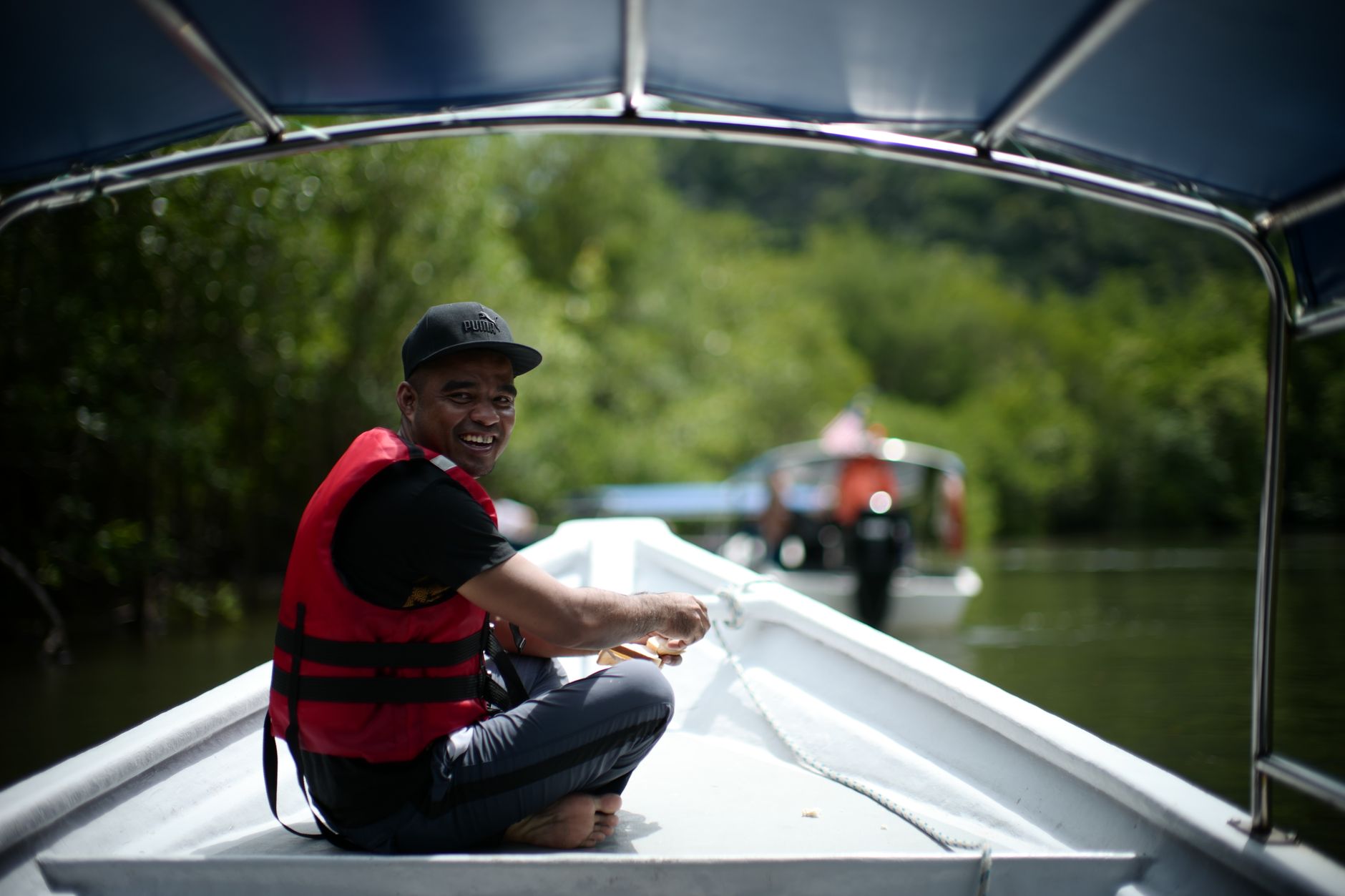
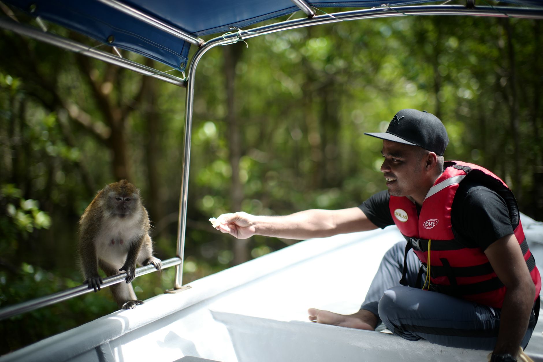
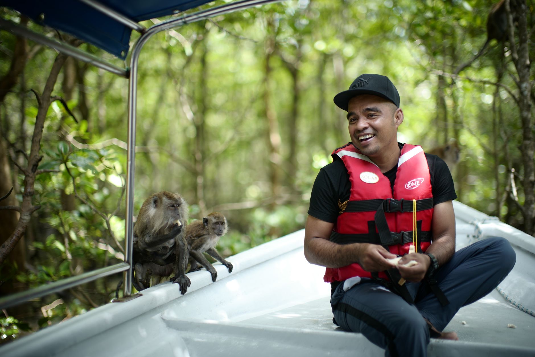
Langkawi is an archipelago of 99 islands off Malaysia's northwest coast, where the rainforest runs almost to the sand and duty-free rum costs less than a bottle of water back home. The main island, Pulau Langkawi, is big enough to feel unhurried — you can spend a morning watching the mist lift off Gunung Machinchang from a cable car, eat grilled fish beside the water at noon, and still have afternoon left for nothing in particular.
A UNESCO Geopark since 2007, Langkawi wears its geology lightly: limestone formations, mangrove coasts, and waterfalls that pool into seven connected basins on the mountain. The beaches are real, the forest is genuinely old, and the absence of public transport is, depending on your temperament, either a minor inconvenience or a reason to rent a scooter and get happily lost.
💛 What travellers fall for
People who come back tend to rent a car from the airport rather than waiting for a cab, drive straight past Kuah Town, and head for the quieter northern coast before the day heats up. Telaga Tujuh early — the Seven Wells — before tour groups arrive. Evenings, the duty-free shops near Kuah Jetty are worth a single pass, then leave them alone.
How Langkawi came to be
Langkawi sat within the orbit of the Kedah Sultanate, founded in 1136 following the arrival of Islam, and was noted by Chinese travellers during the Yuan and Ming dynasties around the 14th century. Kedah and its islands fell to Siam in 1821 — an event that, in local memory, coincided with the curse of Mahsuri, a young woman executed on a false charge of adultery, said to have condemned Langkawi to seven generations of misfortune. The British took control under the Anglo-Siamese Treaty of 1909, and Malaysia's independence came in 1957.
The island's modern shape as a tourist destination was largely a political decision: in 1986, Prime Minister Tun Mahathir bin Mohamad designated it for development, and by 1987 the archipelago had been declared duty-free. UNESCO added its Geopark designation in 2007, recognising 10,000 hectares of geological and ecological significance.
Who and what shaped it
People who shaped it
Landmark buildings
See Langkawi in motion
Plan your visit
On the map
When to go
The southwest monsoon brings heavier rain from May through September, while November to March is drier and cooler — the most comfortable window for beach time and hiking. Outside peak season the island is quieter and prices soften, though some outdoor attractions adjust their hours around weather.
Background & history adapted from Wikipedia (CC BY-SA) · specs from Wikidata (CC0) · weather from Open-Meteo · map data © OpenStreetMap contributors · photos from Wikimedia Commons / Unsplash with per-image credit. No third-party reviews or social posts reproduced.