
Lake Toba
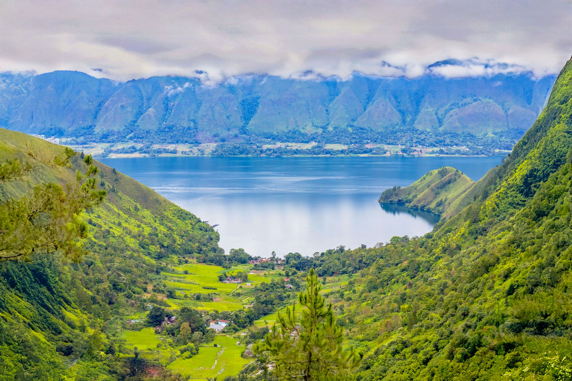
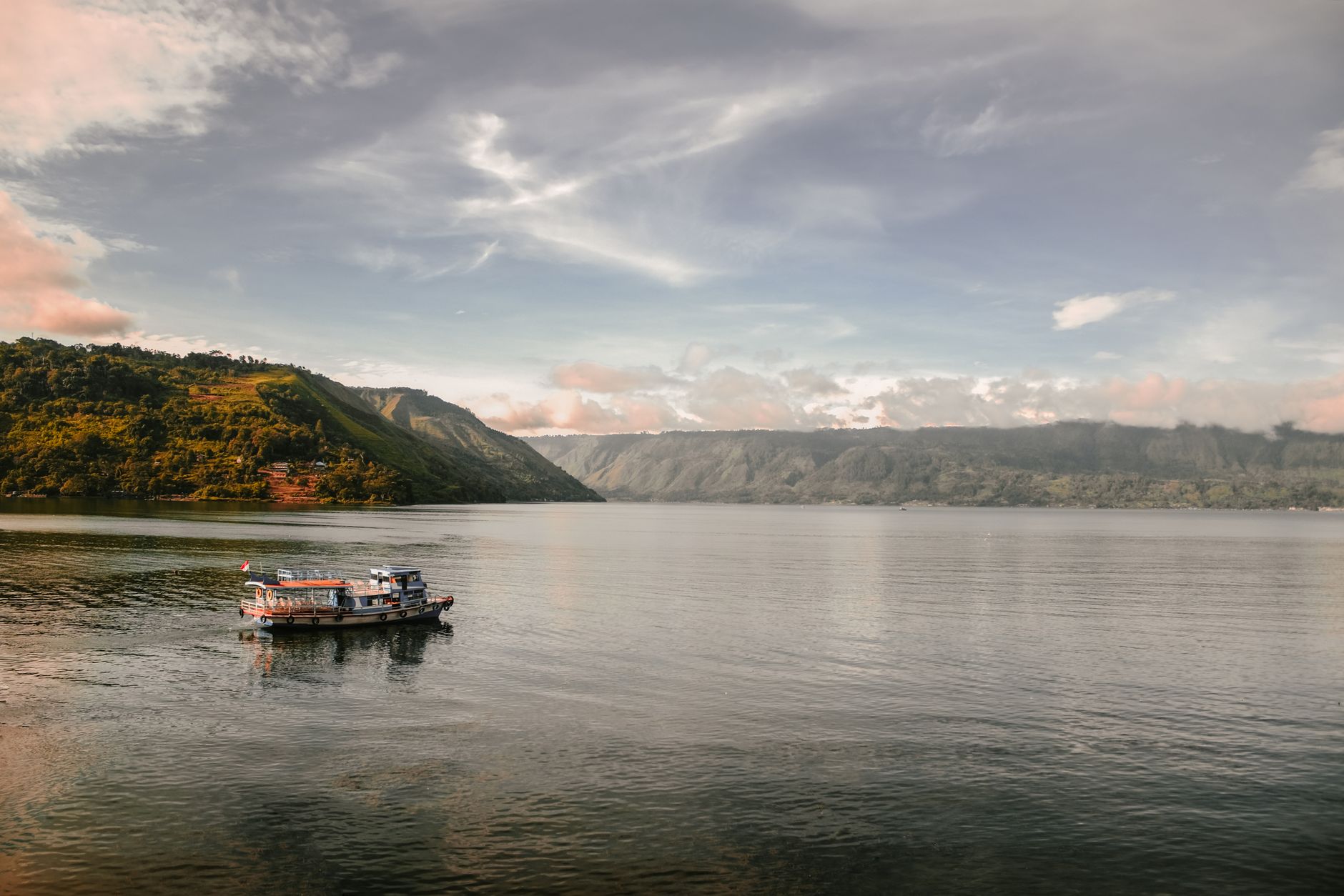
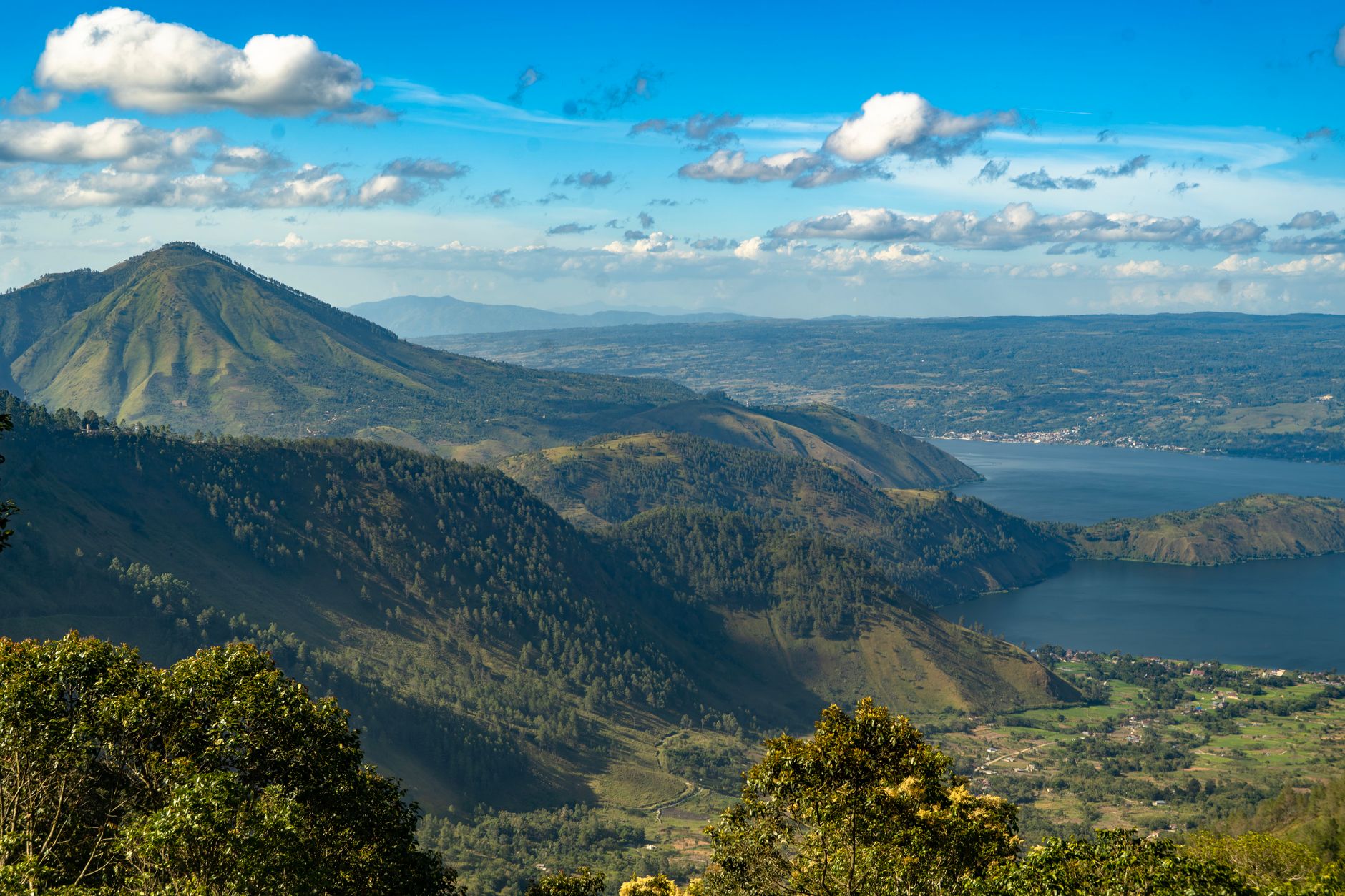
Lake Toba sits in the highlands of North Sumatra inside a caldera so vast — roughly 100 kilometres long — that it took a Dutch geologist until 1929 to recognise it for what it was. Seventy-four thousand years ago, a supervolcanic eruption released around 2,800 cubic kilometres of material here, one of the largest known explosive events in Earth's recent geological history. What remains is a lake of extraordinary stillness, and rising from its centre, Samosir Island — itself the size of a small country, lifted more than 450 metres by the slow refilling of the magma chamber below.
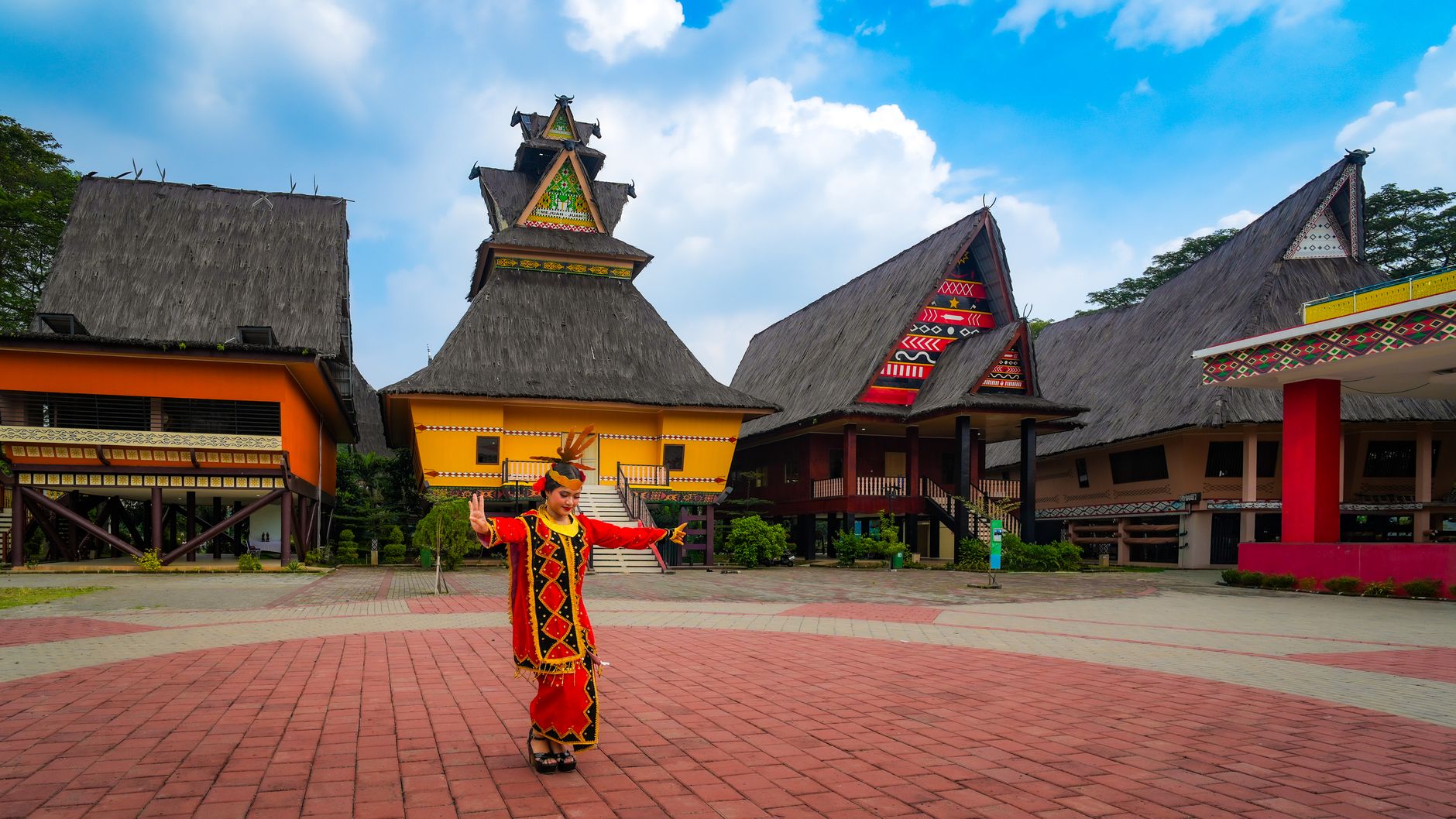
The Batak Toba people have made this landscape their own for generations. Their rumah adat — traditional clan houses with sharply upswept rooflines — still stand in villages like Tomok and Ambarita on Samosir, where stone chairs and royal tombs sit in the open air, unhurried.
💛 What travellers fall for
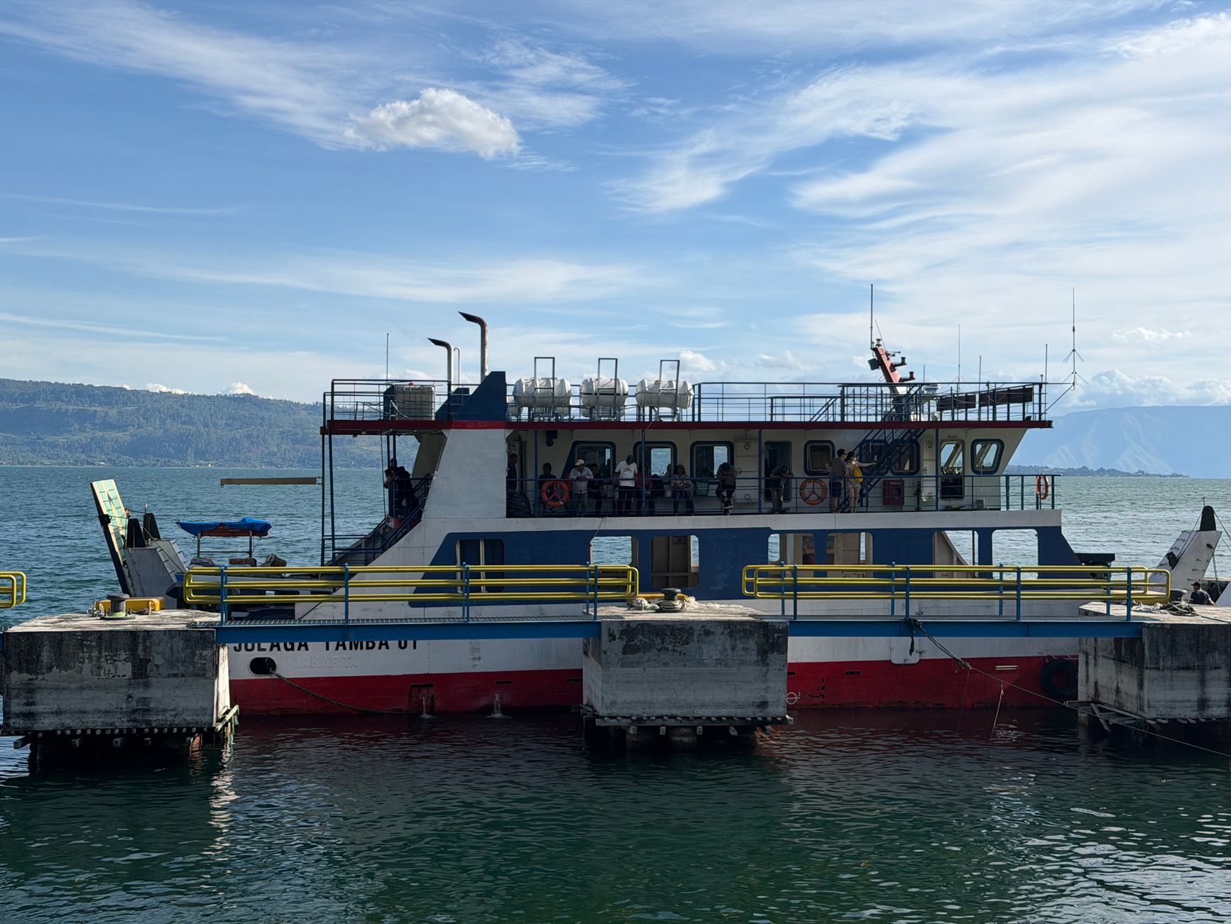
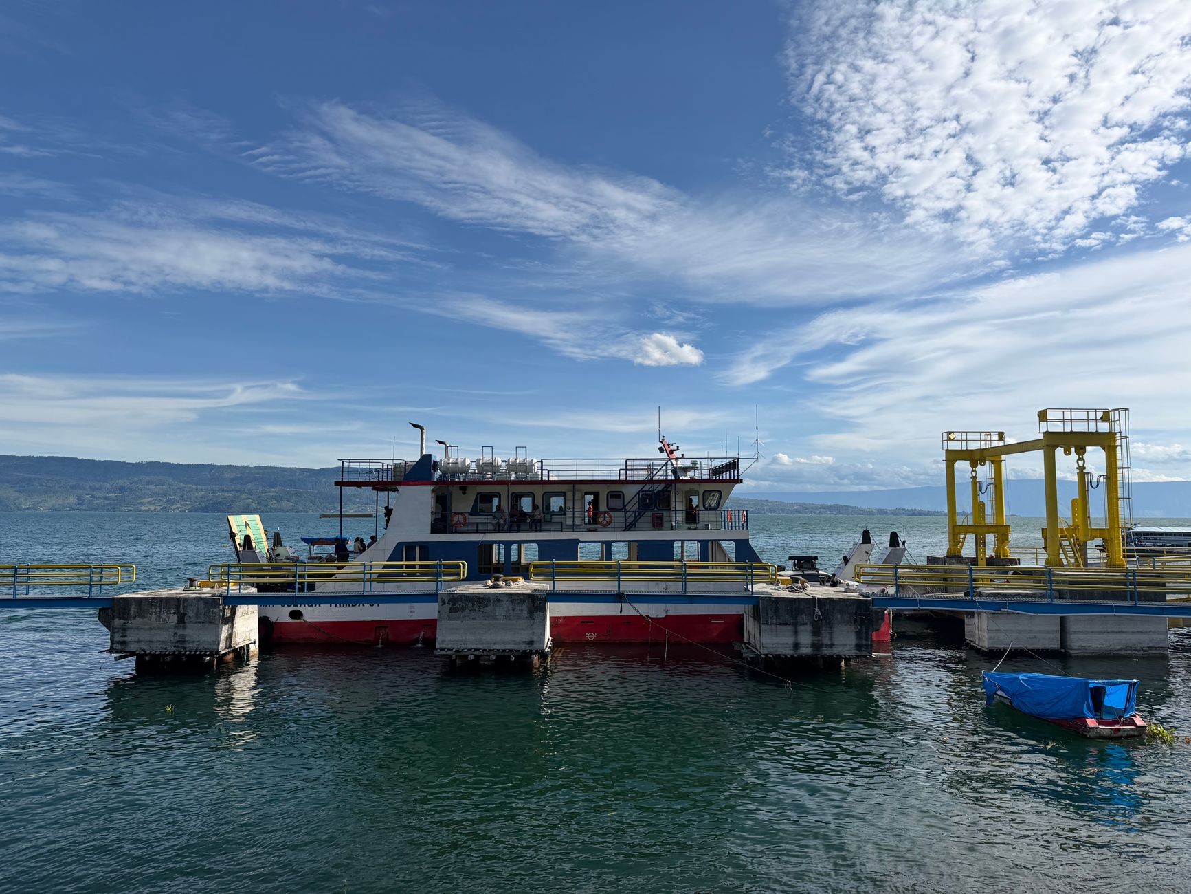
People who return tend to base themselves on the Tuktuk peninsula rather than Parapat on the mainland. The ferry crossing takes about 45 minutes and the slower pace on Samosir is the point. Rent a motorbike and follow the island's perimeter road — the volcanic crater wall rises on one side, the lake drops away on the other.
How Lake Toba came to be
The caldera that holds Lake Toba is the result of at least four eruptions over roughly 800,000 years, each one reshaping the terrain. The most recent, around 74,000 years ago, was a VEI 8 event — the largest known explosive eruption of the Quaternary period — that deposited ignimbrite flows across the region and sent ash across much of South Asia. The lake itself formed in the aftermath, and Samosir Island rose gradually from its centre as the emptied magma chamber below began to refill.
For all its geological drama, the area was long understood locally through the lens of Batak culture rather than volcanic science. It wasn't until 1929 that the caldera origin was formally documented by a Dutch geologist. UNESCO designated it a Global Geopark in July 2020.
Who and what shaped it
Landmark buildings
See Lake Toba in motion
Plan your visit
On the map
When to go
April through September brings dry, sunny weather and is the most comfortable time for hiking and being on the water; June marks the driest point, with November seeing the heaviest rainfall. Evenings at this elevation cool noticeably year-round, dropping to around 18–20°C even in the warmer months, so pack a layer.
Right now
Background & history adapted from Wikipedia (CC BY-SA) · specs from Wikidata (CC0) · weather from Open-Meteo · map data © OpenStreetMap contributors · photos from Wikimedia Commons / Unsplash with per-image credit. No third-party reviews or social posts reproduced.