
Lake Titicaca
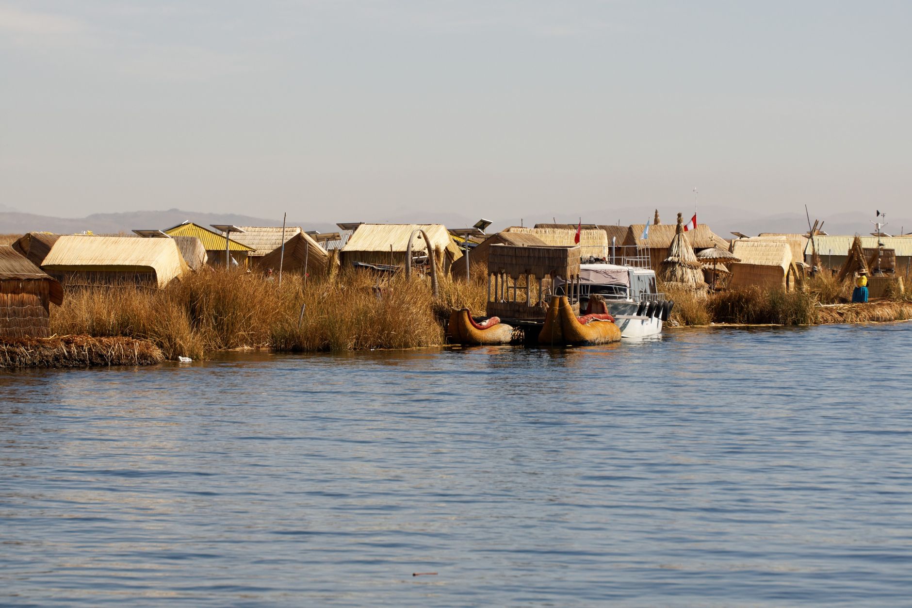
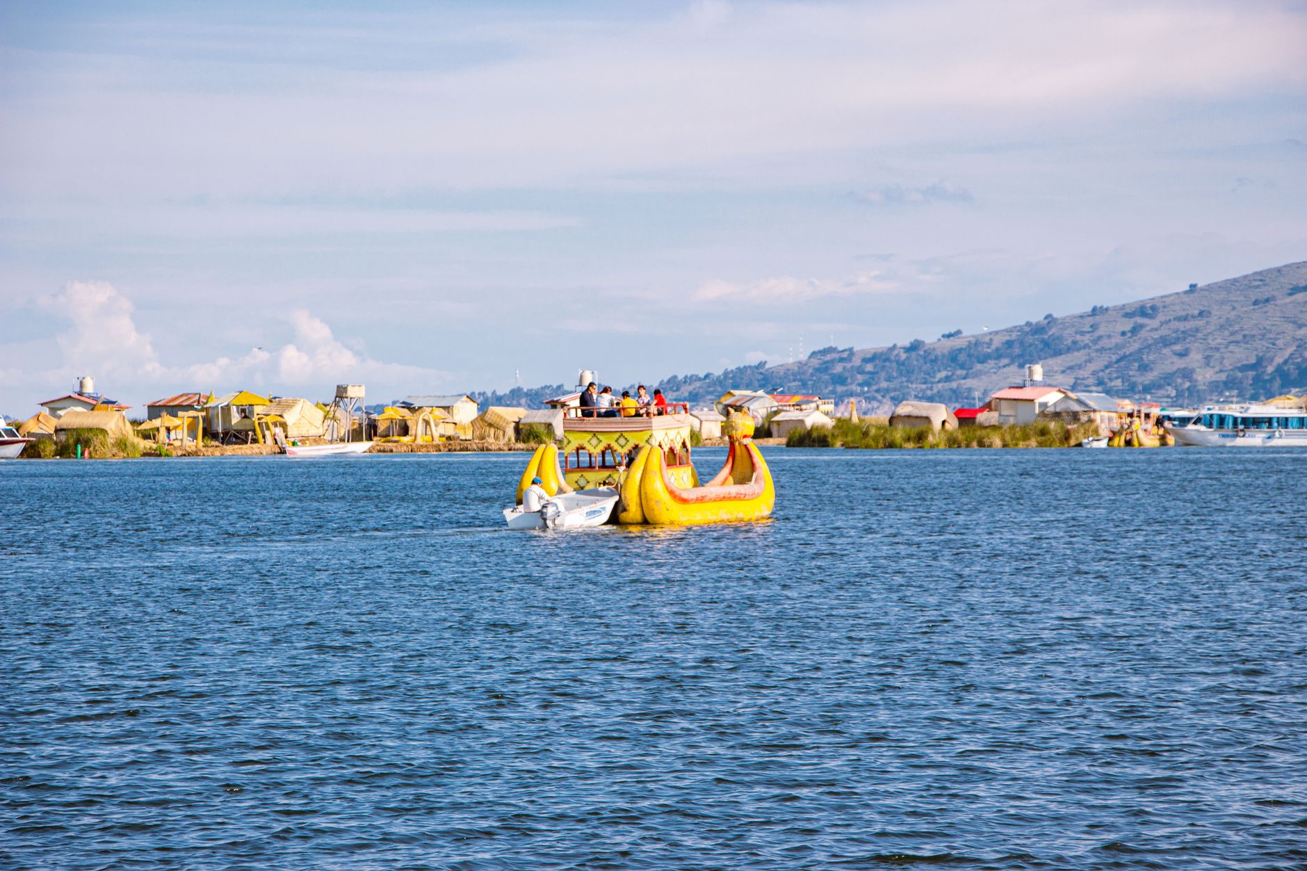
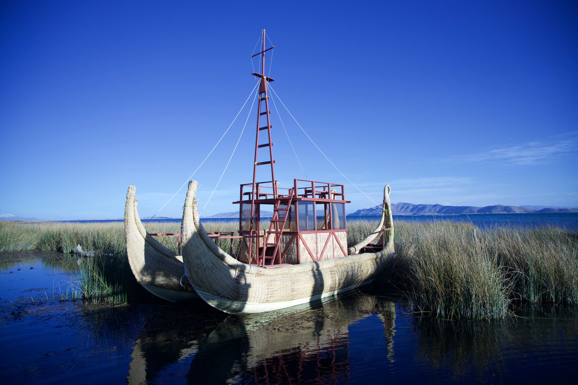
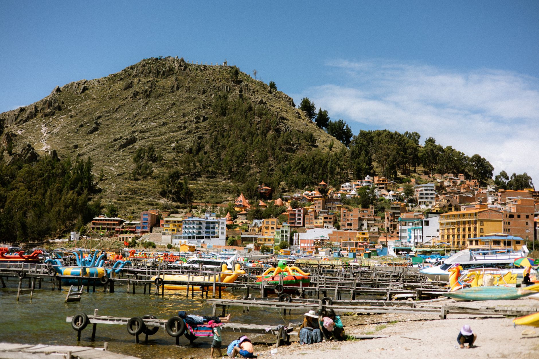
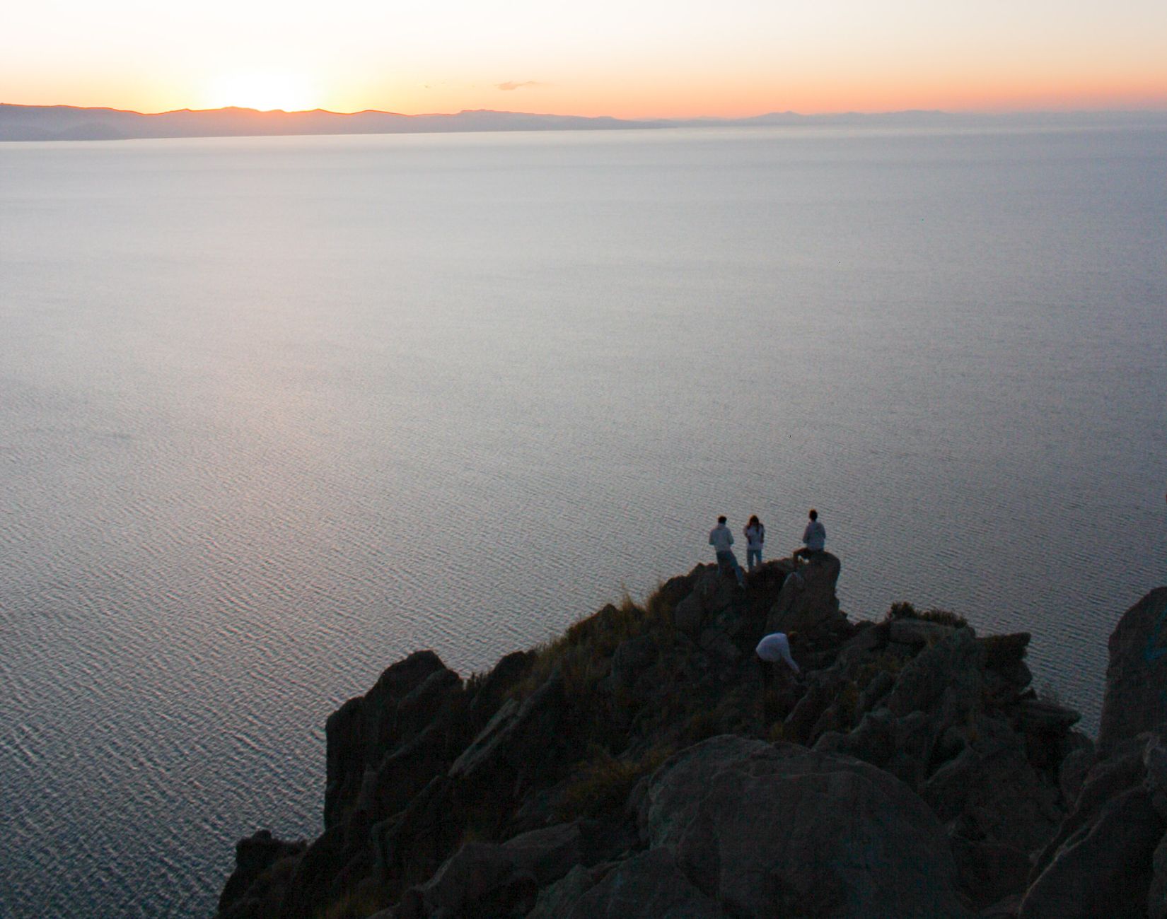
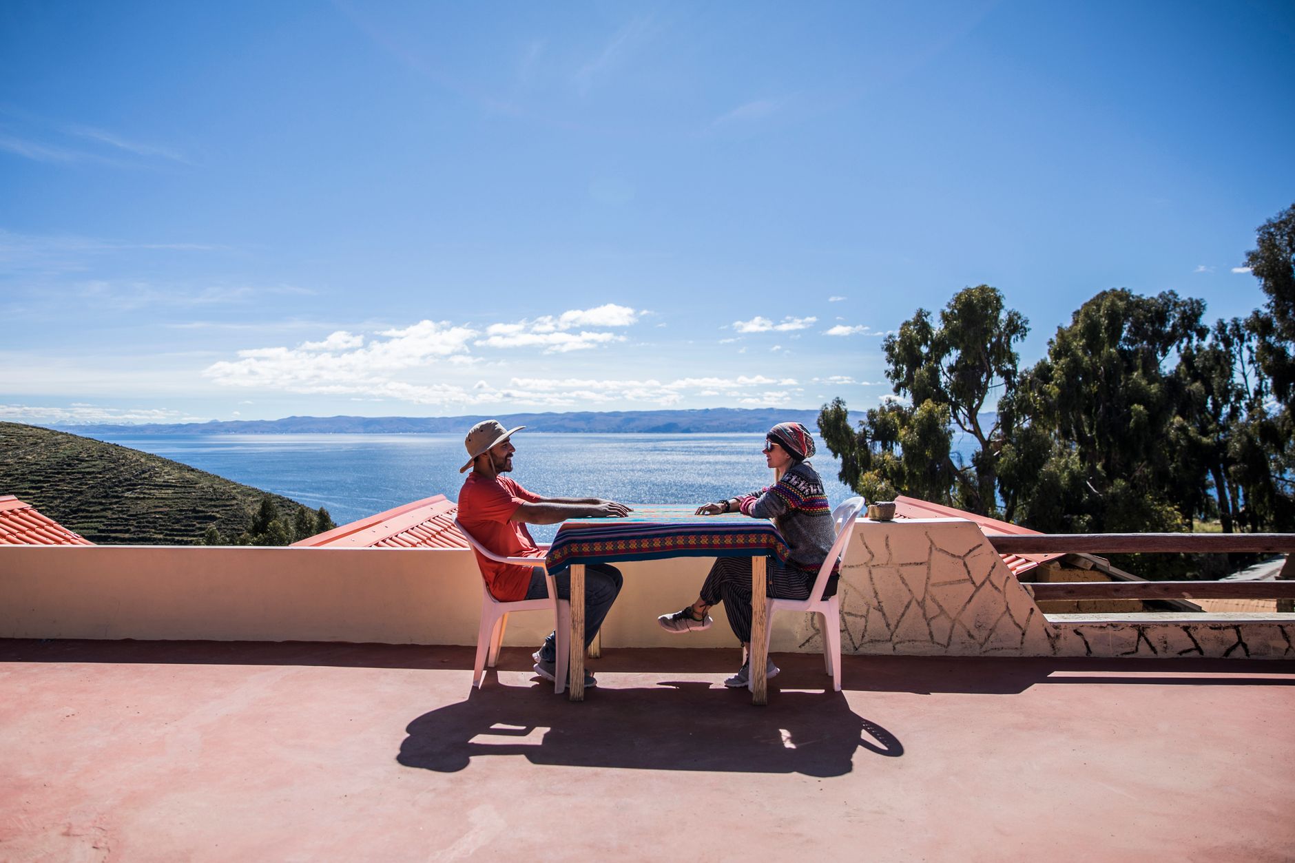
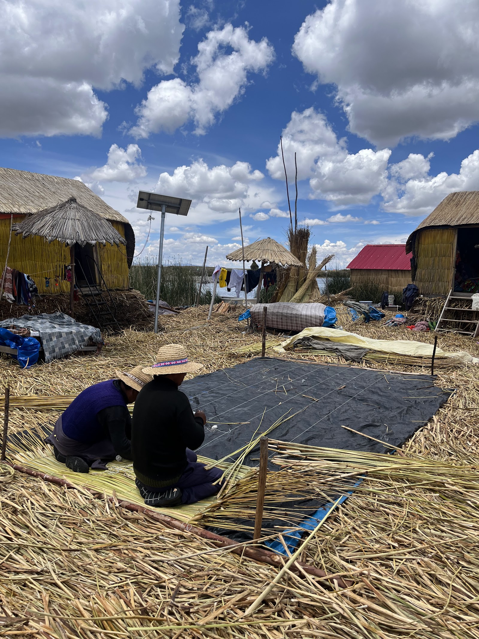
At 3,812 metres above sea level, Lake Titicaca sits so high that the light here has a particular quality — thin, sharp, almost surgical. The water is a blue you don't quite expect this far from the sea, and the reed islands of the Uros people float on its surface like slow, breathing rafts. Split between Peru and Bolivia, the lake is the largest in South America by surface area and, depending on how you measure it, the highest commercially navigable body of water on Earth.
Puno, on the Peruvian shore, is the practical base. From there, boats push out toward islands that have been inhabited for centuries — some built by human hands, layer by layer, from totora reed.
How Lake Titicaca came to be
The lake's basin is ancient in almost every sense. Geologically, it was shaped around 60 million years ago when seismic activity split the Andes and left a vast hollow between them. Human settlement followed much later: pottery finds at Chiripa, on the southern shore, date to around 1400 BCE, placing it among the earliest known cultures in the region. The Chiripa built small temples and ritual platforms near the southern basin before eventually giving way to Tiwanaku, whose capital rose on the altiplano to the south and whose influence spread through the first millennium CE.
The Incas arrived later, incorporating the lake into their cosmology entirely. According to Inca tradition, Manco Capac and Mama Ocllo — the dynasty's founding pair — were sent to Earth here by the Sun. Pachacuti Inca Yupanqui (1438–1471 CE) extended Inca reach through the region, and temples, shrines, and the Pilko Kaina palace were built across Isla del Sol. In 2000, an expedition recovered submerged ruins — a road and temple fragments — attributed to the Tiwanaku culture, roughly 1,000 to 1,500 years old.
Who and what shaped it
People who shaped it
Landmark buildings
See Lake Titicaca in motion
Plan your visit
On the map
When to go
The dry season runs from May through October, with cold nights (temperatures can drop below freezing even in July) and clear, intensely sunny days — the best window for boat travel and photography. The wet season, November to April, brings afternoon rain and occasionally rough water, though the altiplano turns green and the light shifts dramatically.
Right now
↡ Attractions
Background & history adapted from Wikipedia (CC BY-SA) · specs from Wikidata (CC0) · weather from Open-Meteo · map data © OpenStreetMap contributors · photos from Wikimedia Commons / Unsplash with per-image credit. No third-party reviews or social posts reproduced.