
Lake Nicaragua
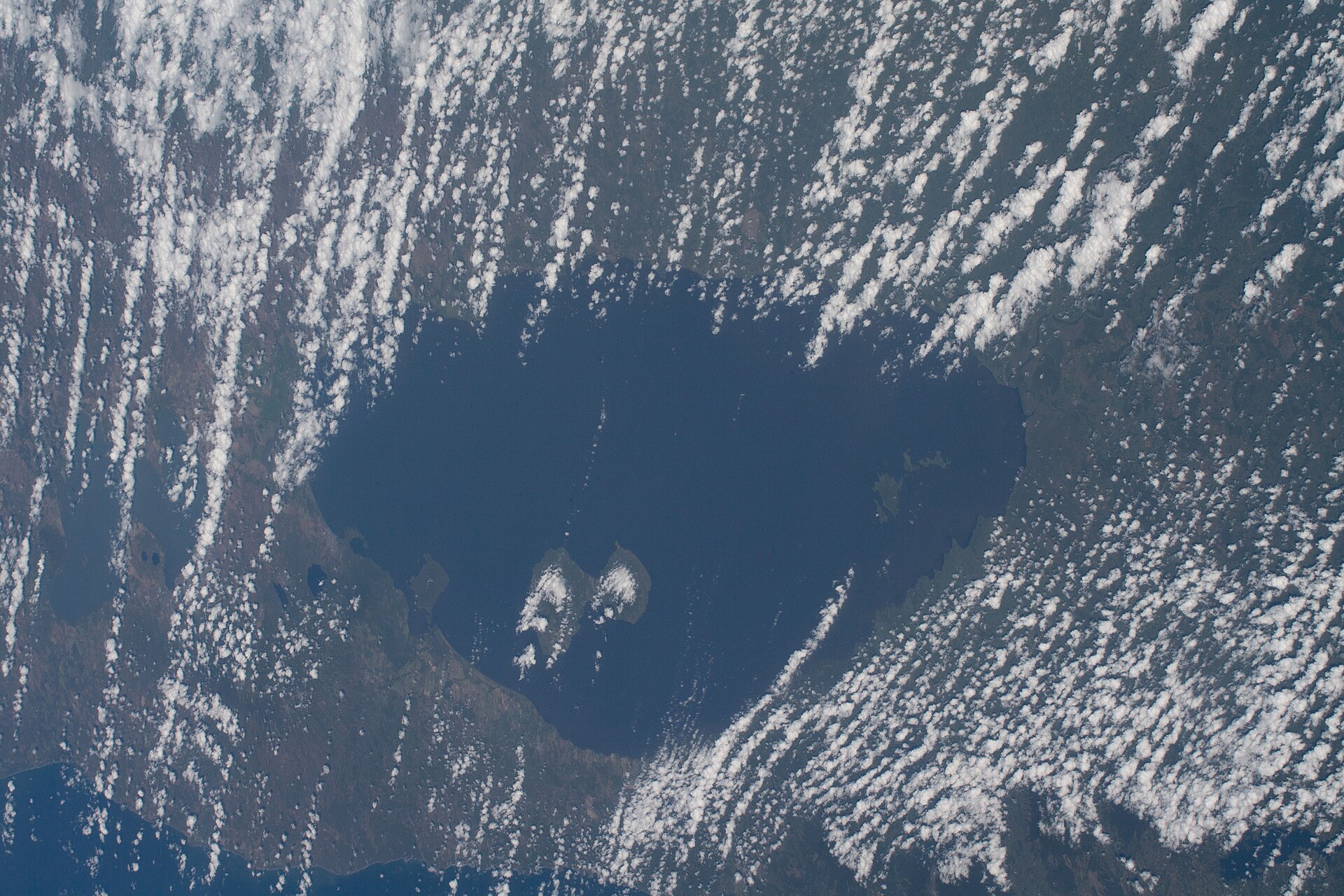
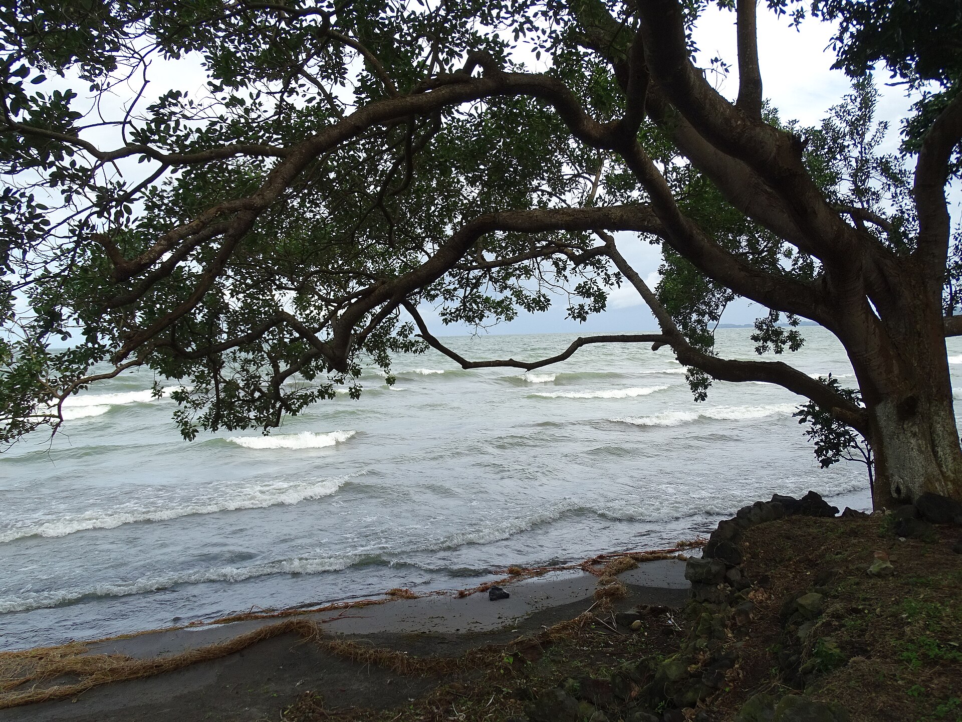
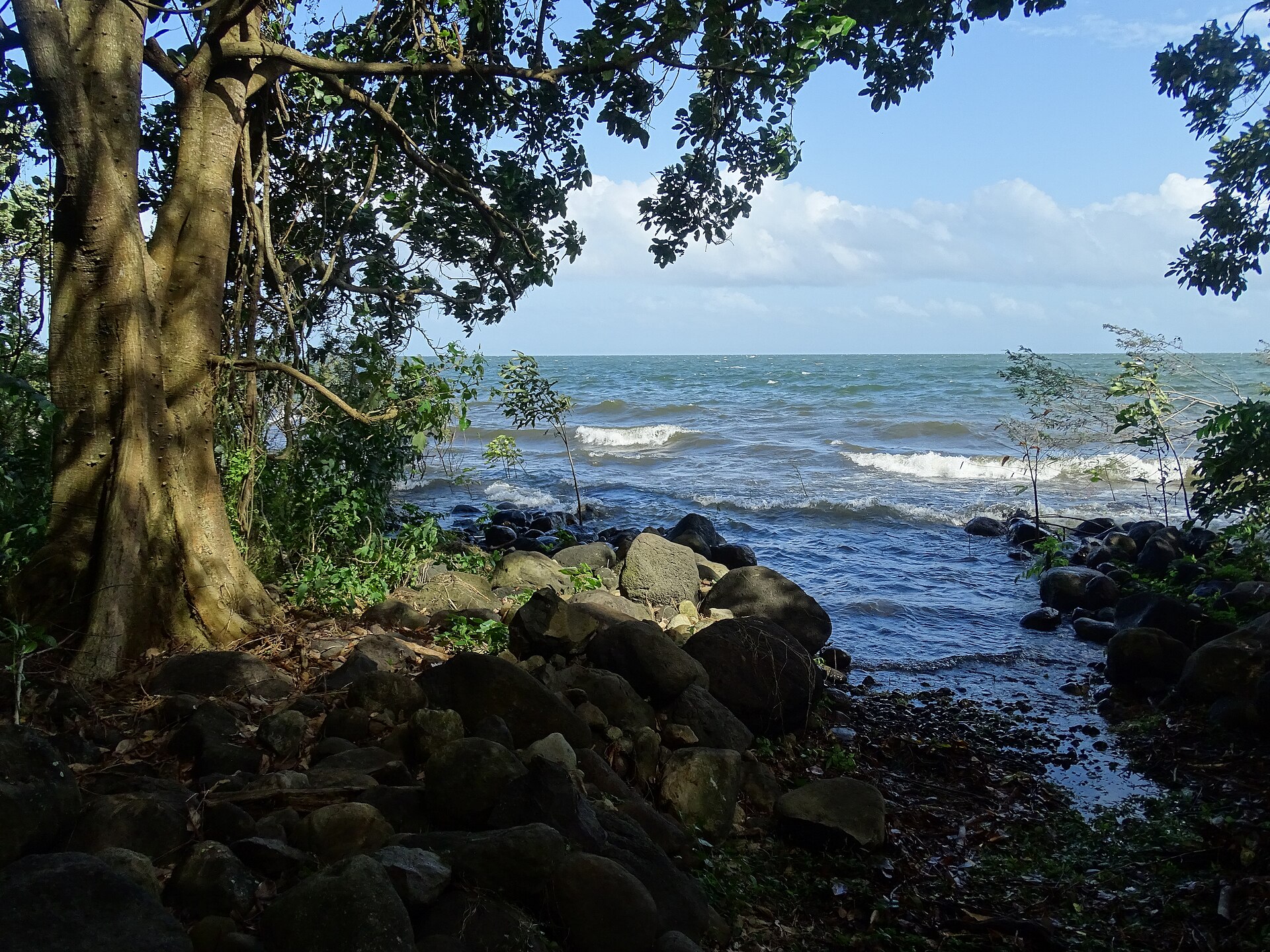
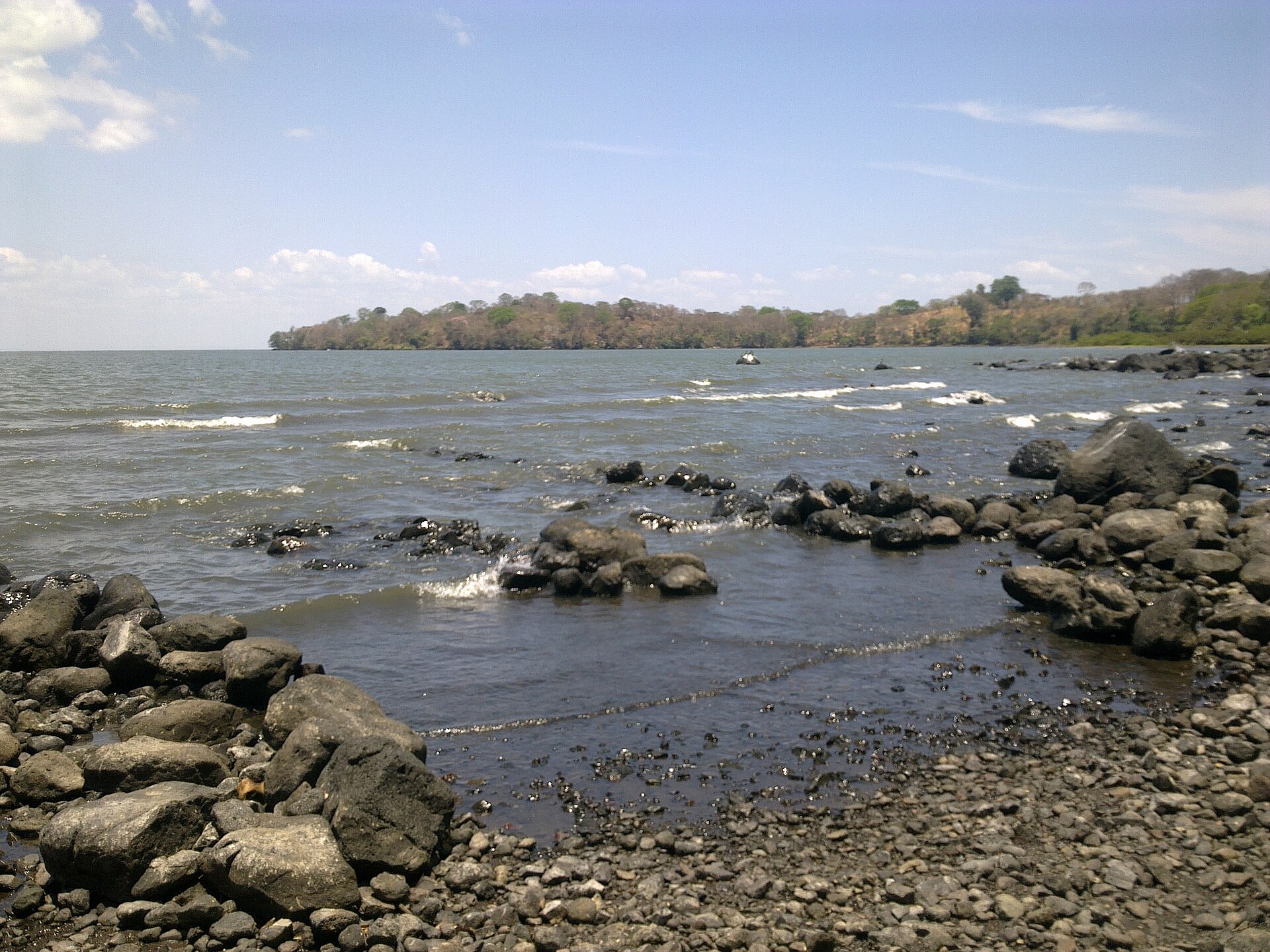

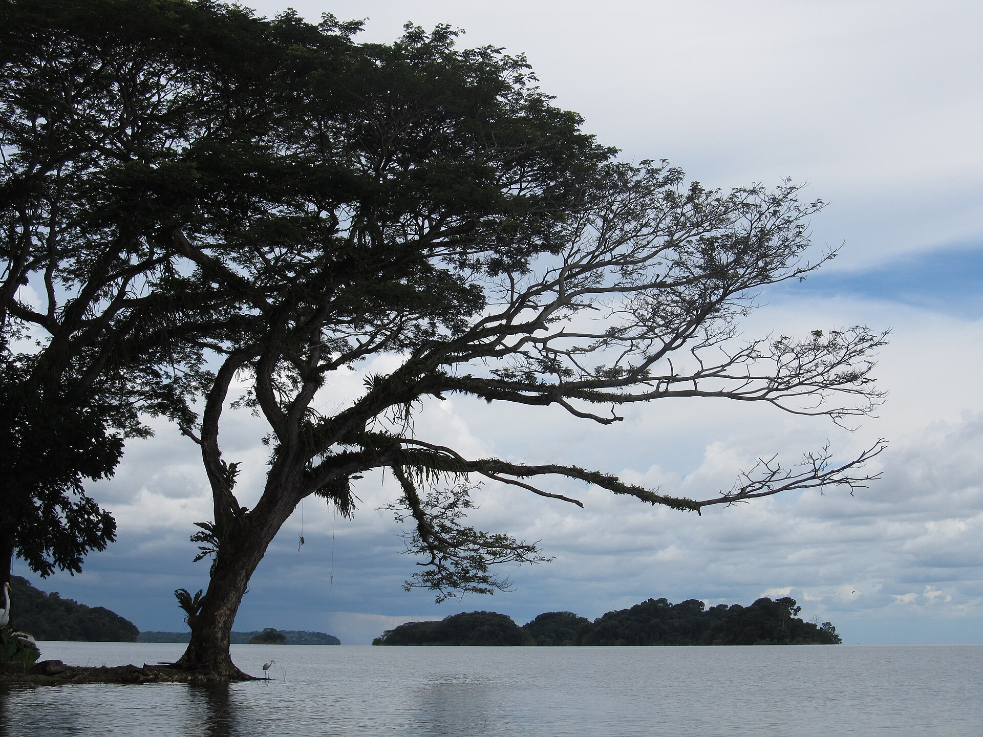
Lake Nicaragua is a freshwater sea — 8,264 square kilometres of it, large enough to swallow several small countries and generate its own weather. Formed roughly 20,000 years ago when volcanic upheaval sealed off an ancient ocean bay, it still carries traces of that marine past: bull sharks once moved freely between the lake and the Caribbean, navigating the San Juan River long before anyone thought to build a canal here.
From the 365 volcanic islets scattered off Granada's shore to the twin-volcano silhouette of Ometepe rising straight from the water, the lake organises much of Nicaragua's geography, history, and daily rhythm. Ferries cross it, fishermen work it, and the wind off it keeps the lakeside towns marginally cooler than the interior.
How Lake Nicaragua came to be
The lake's name traces back to Nicarao, the chief whose people lived along these shores when the Spanish arrived in 1522. Captain Gil González Dávila came on horseback and claimed the water for the Spanish crown; two years later, Francisco Hernández de Córdoba founded Granada on the northwestern shore, one of the earliest permanent European cities on the American mainland. Pirates from the Caribbean later raided Granada three times, rowing up the San Juan River to reach it.
For a brief period before the Panama Canal, Cornelius Vanderbilt's Accessory Transit Company ran a stagecoach line across the narrow Isthmus of Rivas, linking the lake to the Pacific and turning it into a transit corridor for gold-rush travellers heading to California. The U.S. later locked up canal rights along this route in the Bryan–Chamorro Treaty of 1916, and the lake's role as a potential shortcut between oceans has never quite left the conversation.
Who and what shaped it
People who shaped it
Landmark buildings
See Lake Nicaragua in motion
Plan your visit
On the map
When to go
Daytime temperatures sit around 32 °C year-round, dropping to a comfortable 23 °C in the evenings. December through April is dry and breezy — the better window for lake crossings and island travel; the rainy season softens the landscape but can make ferry schedules less predictable.
Right now
Background & history adapted from Wikipedia (CC BY-SA) · specs from Wikidata (CC0) · weather from Open-Meteo · map data © OpenStreetMap contributors · photos from Wikimedia Commons / Unsplash with per-image credit. No third-party reviews or social posts reproduced.