
Lake Nakuru National Park
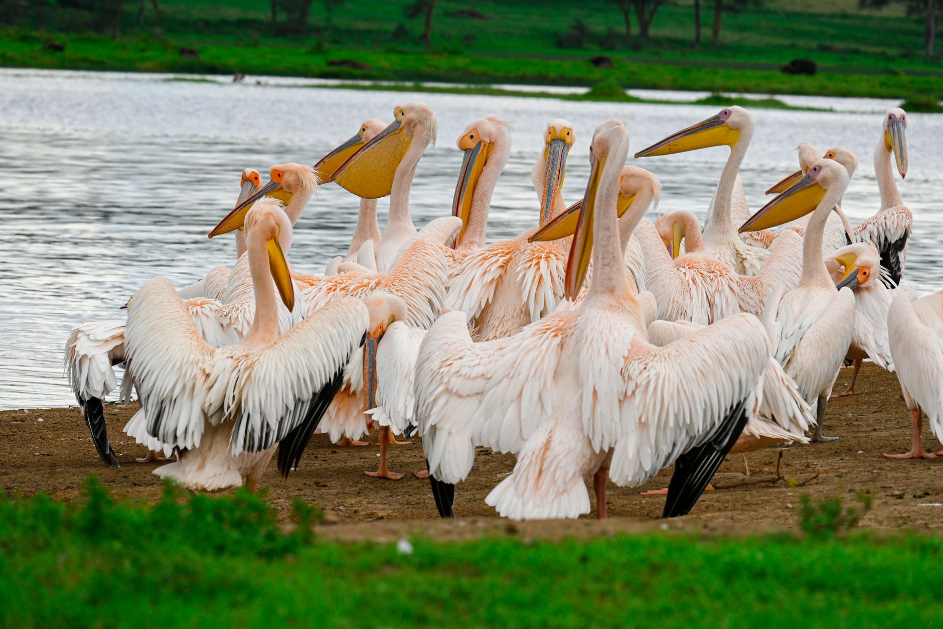
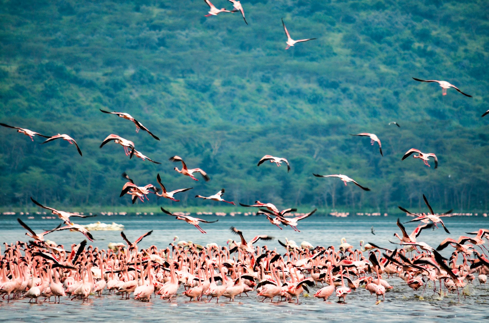
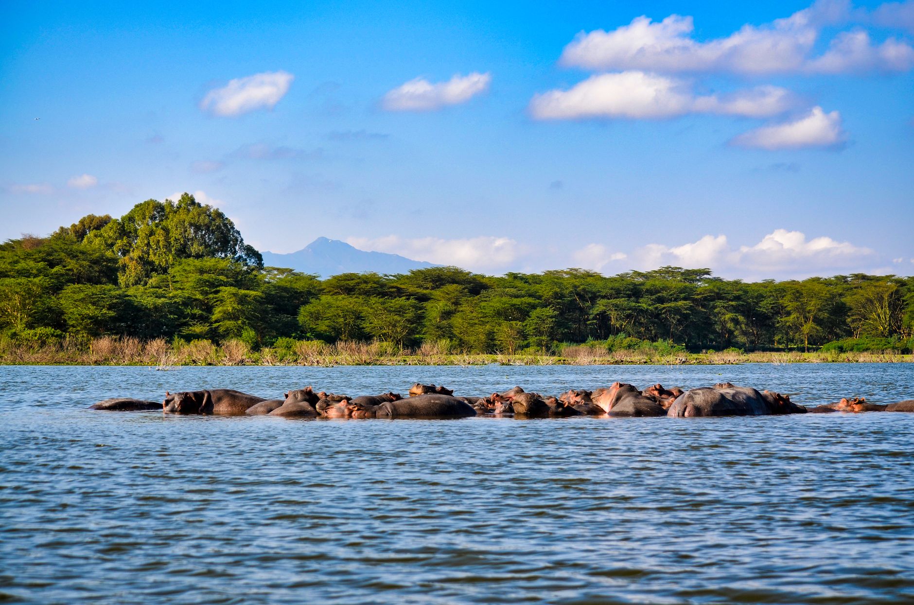
The Maasai word for this place — *nakuru*, meaning dusty place — sits in quiet irony beside a lake that, in the right season, turns pink from shoreline to shoreline with flamingos. Lake Nakuru National Park occupies 188 square kilometres of Kenya's central Rift Valley at around 1,750 metres above sea level, where the altitude keeps the air cool and the light sharp.
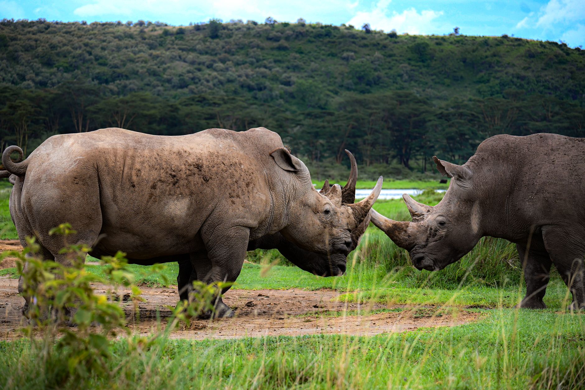
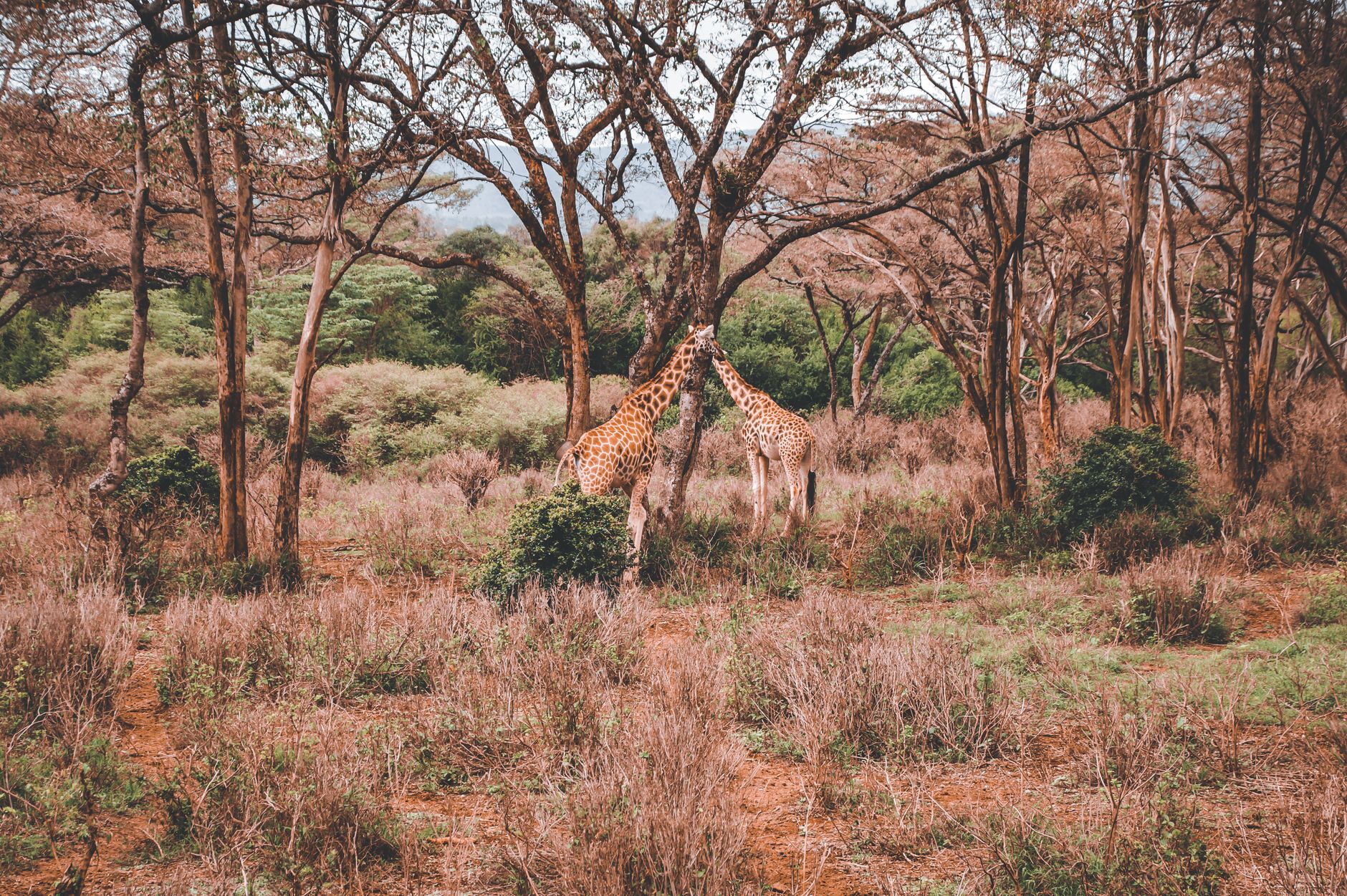
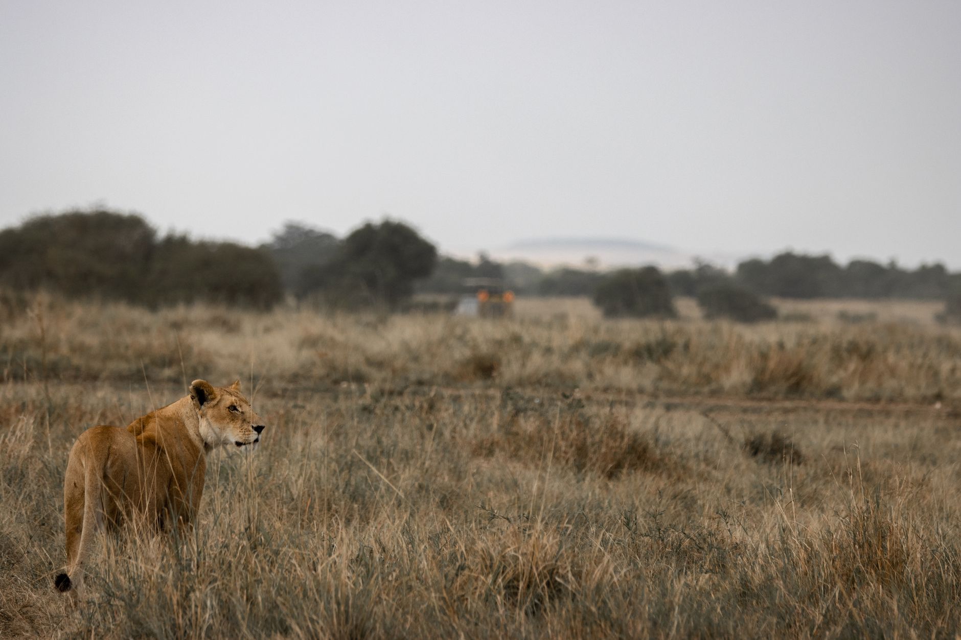
The park fences in a full ecosystem: fever-tree woodland, rocky ridgelines, a euphorbia forest that looks borrowed from a fever dream, and the alkaline lake at its centre, which shrinks and swells with the rains. Rhinos graze the open grasslands here, and lions work the same ground. All of it is viewed from a vehicle — the rules are firm on that — which keeps the experience focused.
How Lake Nakuru National Park came to be
The lake's conservation story began in 1961 with a small bird sanctuary at the southern tip, created to protect the flamingo populations that made the shoreline famous. By 1964 the sanctuary had expanded to cover the whole lake, and in 1968 the area was formally gazetted as a national park — around 6,000 hectares at that point.
The park grew steadily after that. In 1974, WWF support funded a land acquisition that brought the total to its current 188 km². A significant turn came in 1987, when Lake Nakuru was designated Kenya's first government-managed Rhino Sanctuary, reorienting the park's conservation mission beyond birds. International recognition followed: Ramsar Site status in 1990 for its wetland importance, and in 2011 inclusion in the Kenya Lake System UNESCO World Heritage Site, alongside Lakes Elementaita and Bogoria.
Who and what shaped it
Landmark buildings
See Lake Nakuru National Park in motion
Plan your visit
On the map
When to go
The elevation keeps days warm rather than hot — low-to-mid 20s°C through most of the year, dropping to around 10°C at night. The dry seasons (January to March, June to October) offer the clearest roads and the best wildlife sightings; April and May bring heavy afternoon rains and can make tracks difficult.
Right now
Background & history adapted from Wikipedia (CC BY-SA) · specs from Wikidata (CC0) · weather from Open-Meteo · map data © OpenStreetMap contributors · photos from Wikimedia Commons / Unsplash with per-image credit. No third-party reviews or social posts reproduced.