
Lake Manyara National Park
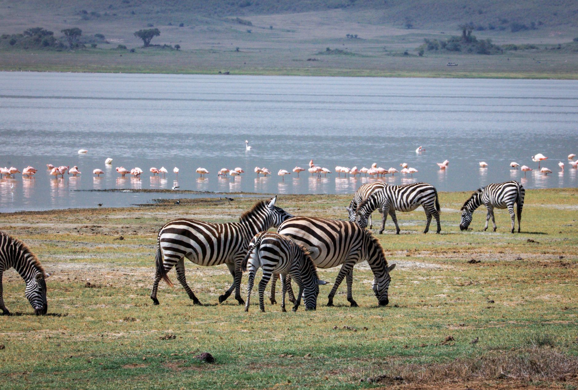
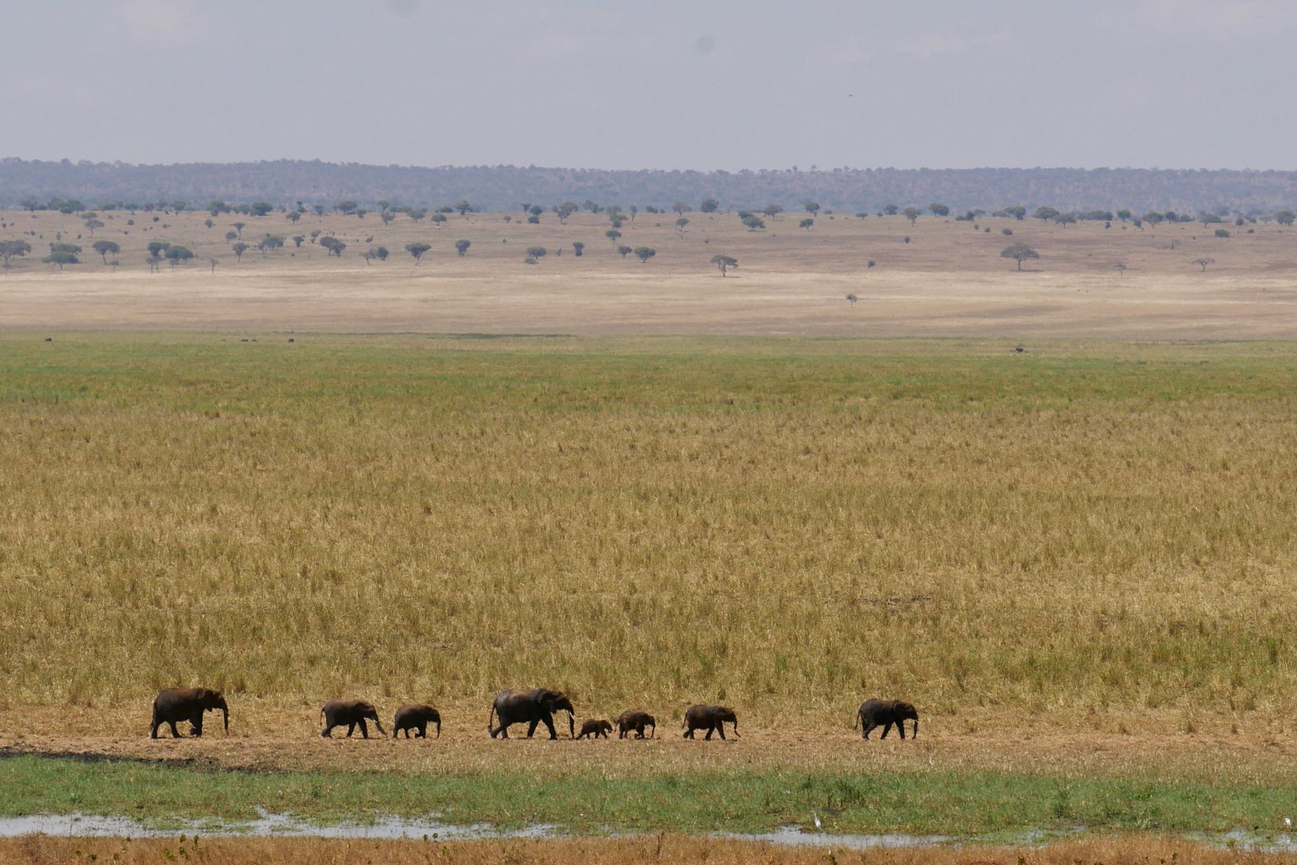


Lake Manyara sits in the floor of the Great Rift Valley, a shallow alkaline lake rarely more than three metres deep, yet when full it swallows two-thirds of the park. The water turns pink between November and April when flamingoes arrive in their thousands, wading through shallows that shimmer with soda. Above the lake, a groundwater forest fed by escarpment springs grows so dense that mahogany, fig, and sausage trees block the sky — and somewhere in the canopy, lions have taken to lying across branches, watching the track below.
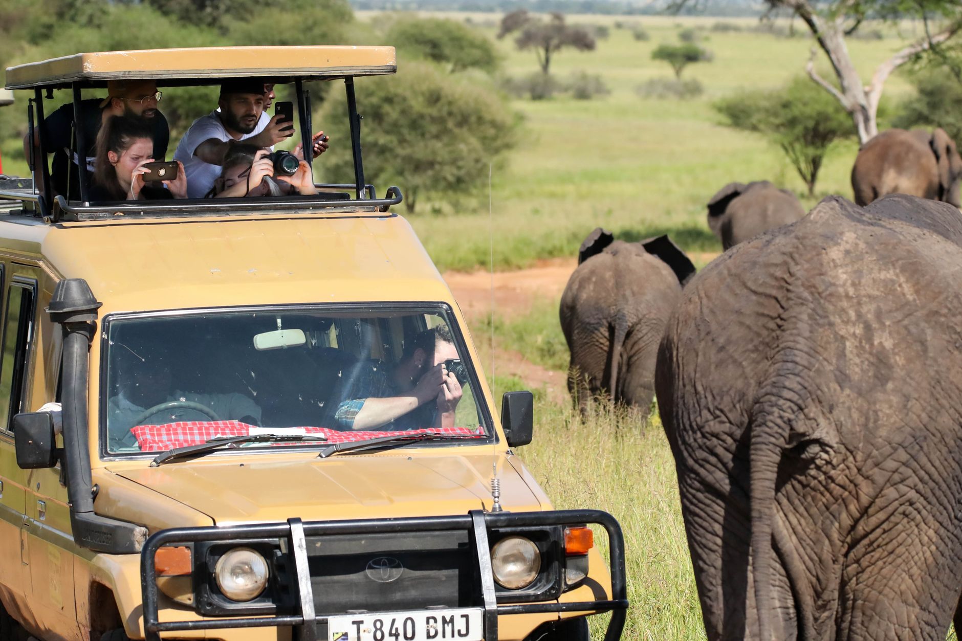
The park is compact enough to drive in a single day but layered enough to reward two. Hippos crowd the shallows at the Hippo Pool, baboons work the forest edge in troops that rank among Africa's largest, and the Silale Swamp draws game even in the dry months when the lake itself retreats.
How Lake Manyara National Park came to be
The land around Lake Manyara was hunting country from the 1920s, when sport hunters worked the valley floor under the Rift escarpment. A formal game reserve followed in 1957, and in 1960 the area was gazetted as a National Park. A further 550 hectares were added to the southern end in 1974. In 1981, UNESCO folded it into a larger Man and the Biosphere Reserve — a designation that acknowledged what the land around the lake had always been: a meeting point of geology, water, and wildlife that doesn't respect administrative lines.
The park takes its name from the Maasai word emanyara, the Euphorbia plant they used to fence livestock enclosures. Mto wa Mbu, the town at its northern gate, translates as 'River of Mosquitoes' and draws more than 120 Tanzanian ethnic groups — Maasai, Iraqw, and Datoga among them — making it one of the more ethnically complex small towns in the country.
Who and what shaped it
Landmark buildings
See Lake Manyara National Park in motion
Plan your visit
On the map
When to go
The dry season, June to October, brings clear afternoons around 26°C and cool nights that can drop to 14°C — the best conditions for game viewing and the most predictable light for photography. The wet seasons (short rains November to December, long rains March to May) rarely last all day, temperatures run a few degrees warmer, and the lake fills with flamingoes.
Right now
Background & history adapted from Wikipedia (CC BY-SA) · specs from Wikidata (CC0) · weather from Open-Meteo · map data © OpenStreetMap contributors · photos from Wikimedia Commons / Unsplash with per-image credit. No third-party reviews or social posts reproduced.