
Lake Kariba
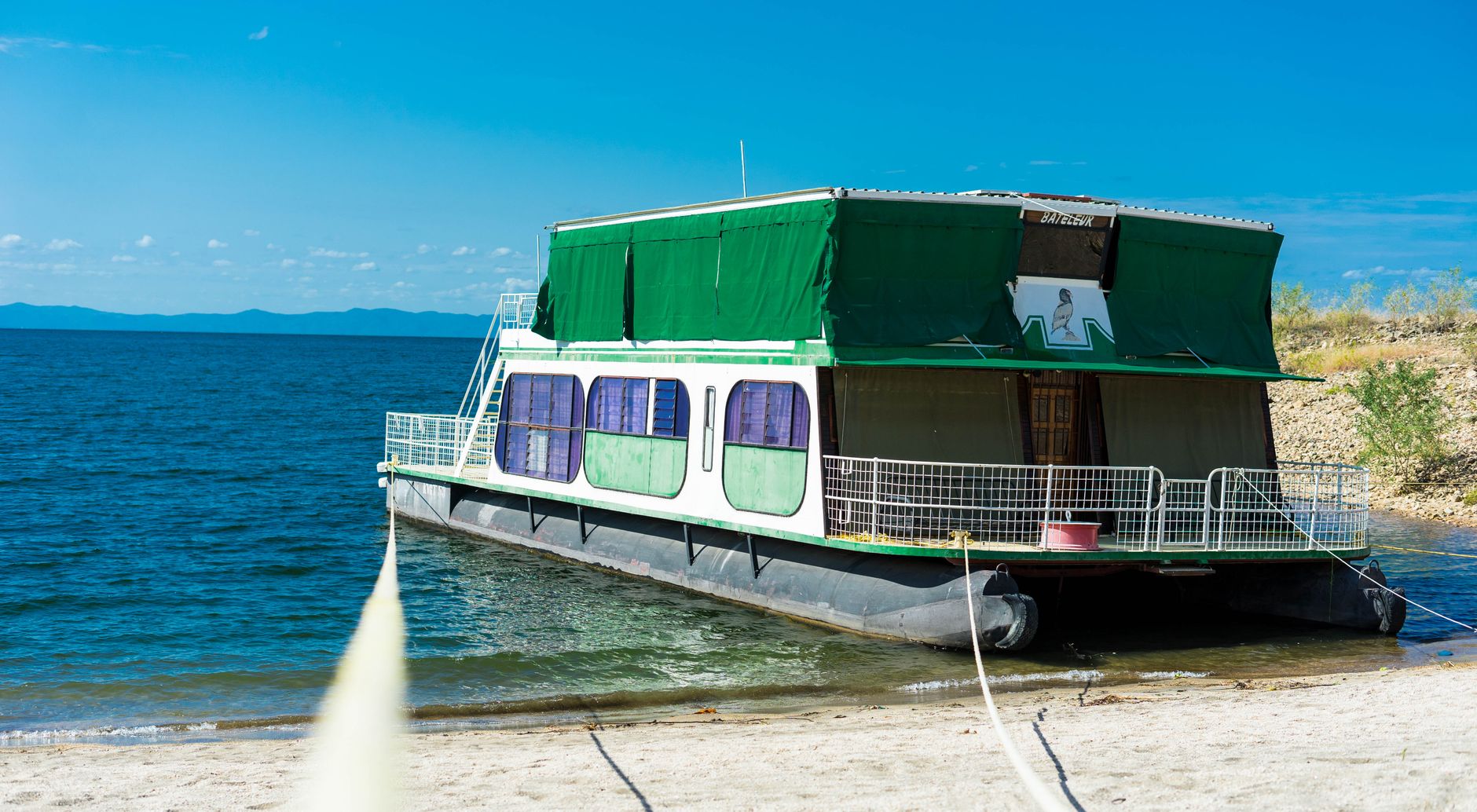
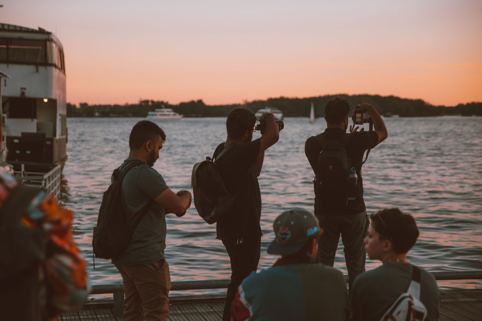
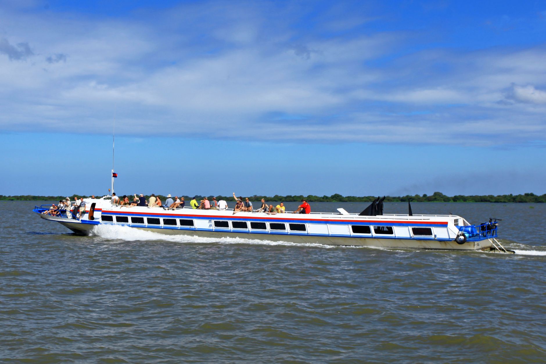
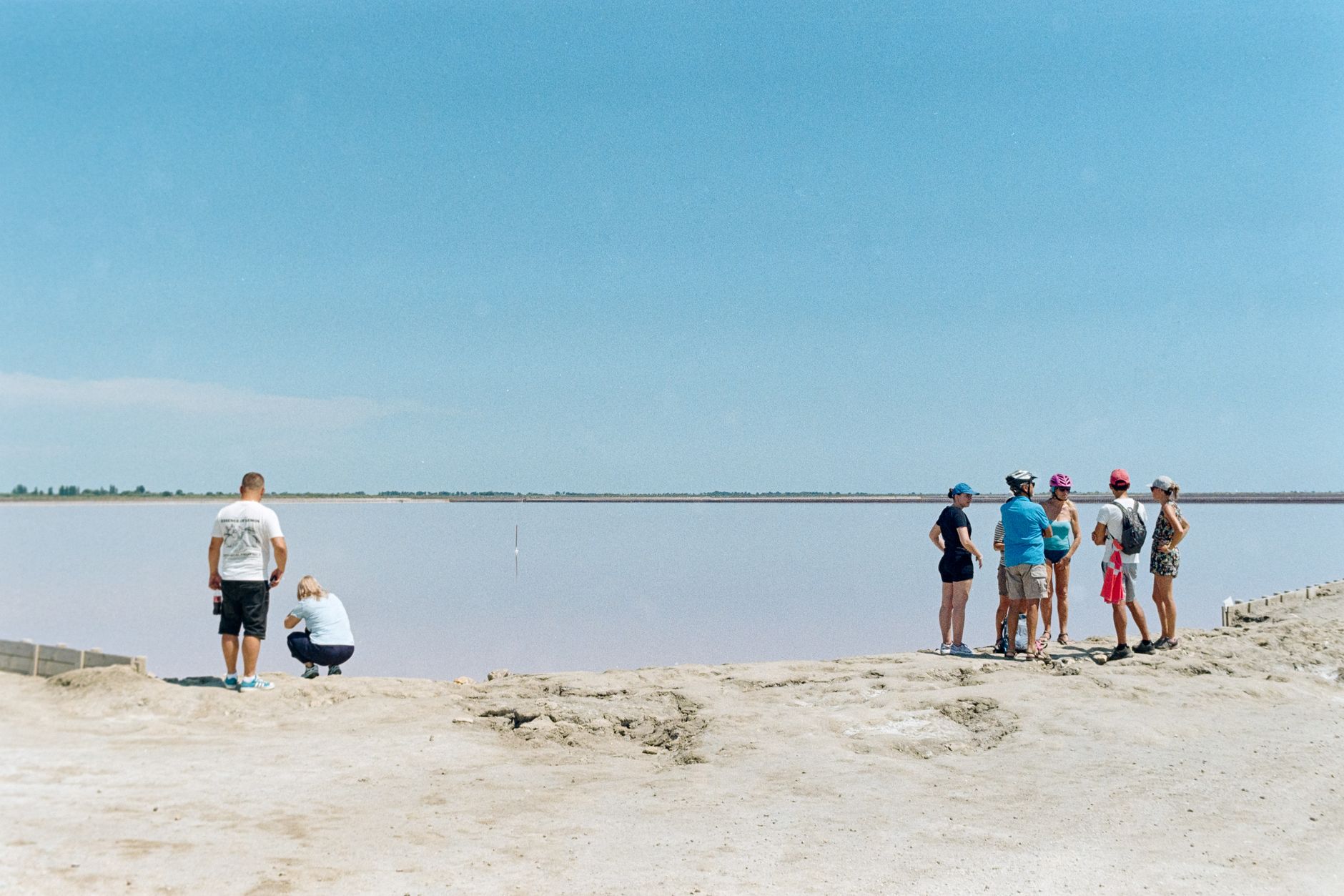
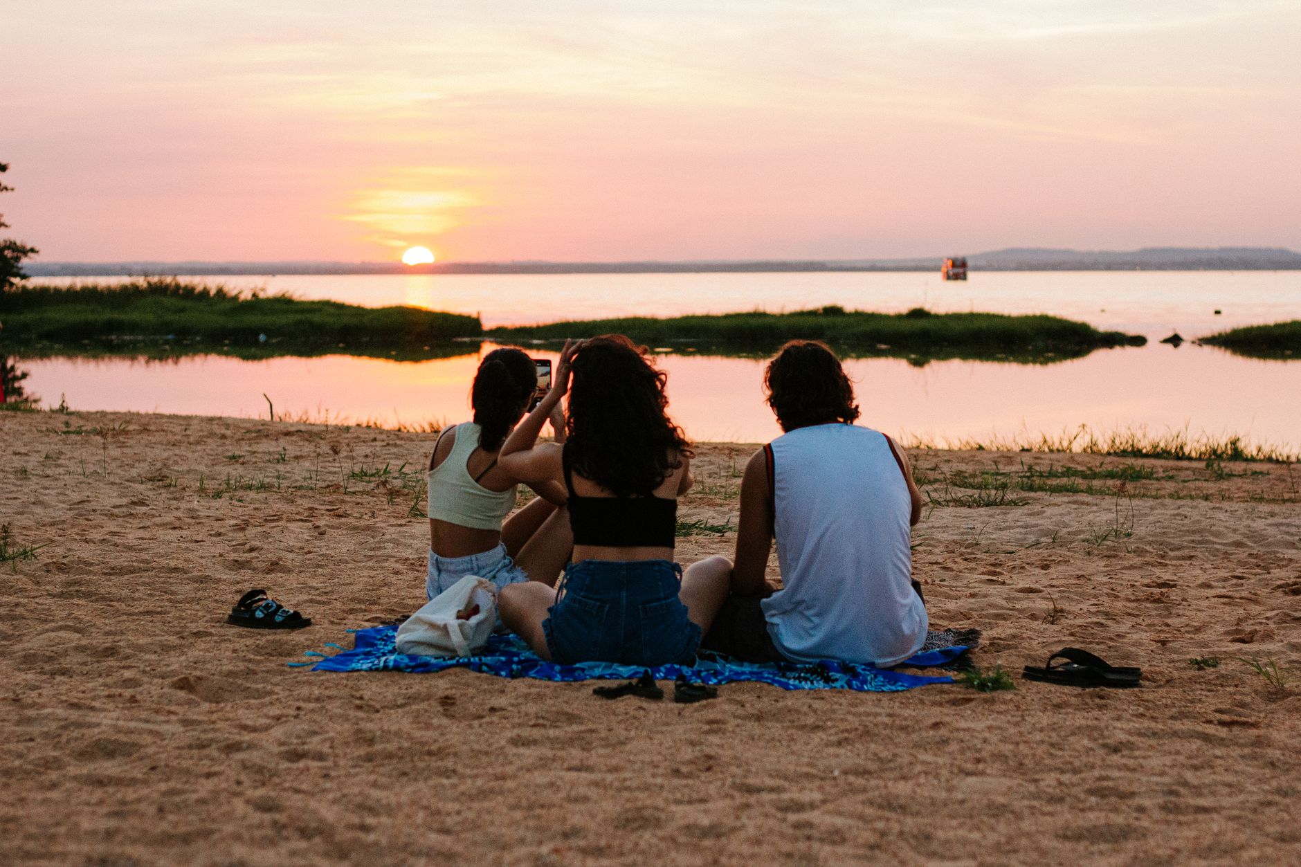
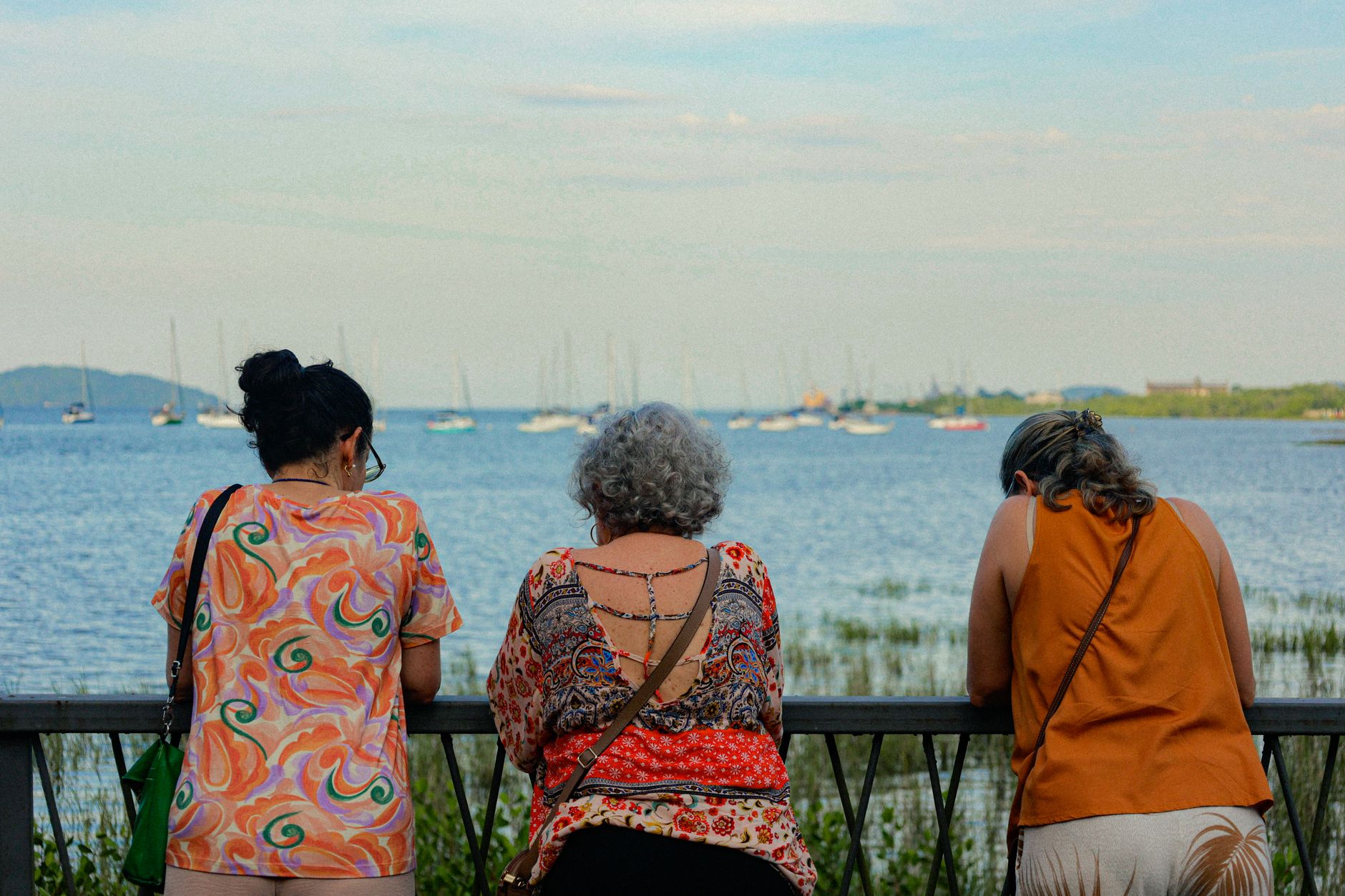
Lake Kariba sits on the border between Zimbabwe and Zambia, a body of water so large — 280 kilometres long, covering roughly 5,200 square kilometres — that from the shore it reads less like a lake than a sea. Dead trees rise from the shallows in silhouette, remnants of the forest that drowned when the Zambezi was dammed in the late 1950s, and elephants wade between them at dusk.
The lake holds 185 cubic kilometres of water and 102 islands, the largest of which, Chete, runs to around 1,200 hectares. People come for the fishing, the houseboats, the game that gathers along the shoreline in the dry months — and for the particular quality of light on a horizon that seems impossibly wide.
How Lake Kariba came to be
In 1951 an expert panel chose Kariba Gorge on the Zambezi as the site for what would become the world's largest artificial reservoir by volume. Tenders were called in August 1955; the contract went to Italian consortium Impresit on 16 July 1956, and construction began that November. The sluice gates closed at the end of 1958, and the lake took until 1963 to reach its maximum level.
The filling displaced tens of thousands of Tonga people and drowned vast tracts of wildlife habitat. Between 1958 and 1963, game ranger Rupert Fothergill led Operation Noah — a rescue effort that moved thousands of stranded animals to higher ground. Fothergill Island carries his name. The dam, designed by French engineer André Coyne and rising 128 metres above the gorge, was formally opened by Queen Elizabeth The Queen Mother in May 1960. Italian workers built St Barbara Church on a hill above Kariba town in honour of their patron saint; its six concrete pillars mirror the dam's main valves.
Who and what shaped it
People who shaped it
Landmark buildings
See Lake Kariba in motion
Plan your visit
On the map
When to go
Late April through early August brings the most comfortable conditions — dry, sunny, highs in the low-to-mid twenties. September through November turns genuinely hot, often above 40°C, though the dry bush makes game easier to spot; the rainy season from November to April brings humidity and afternoon storms, with Zambezi headwaters muddying the lake by March.
Right now
Background & history adapted from Wikipedia (CC BY-SA) · specs from Wikidata (CC0) · weather from Open-Meteo · map data © OpenStreetMap contributors · photos from Wikimedia Commons / Unsplash with per-image credit. No third-party reviews or social posts reproduced.