
Lago Enriquillo
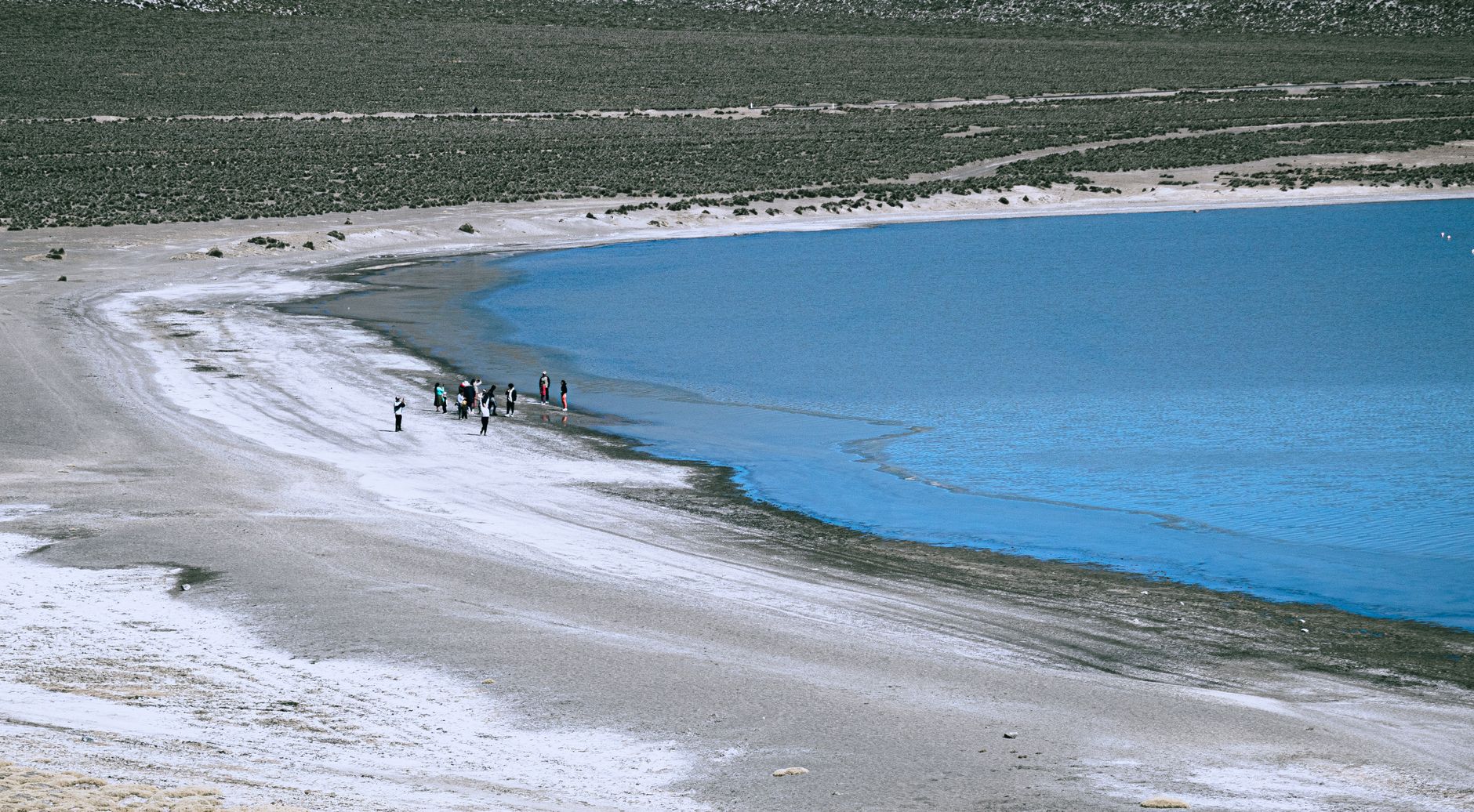

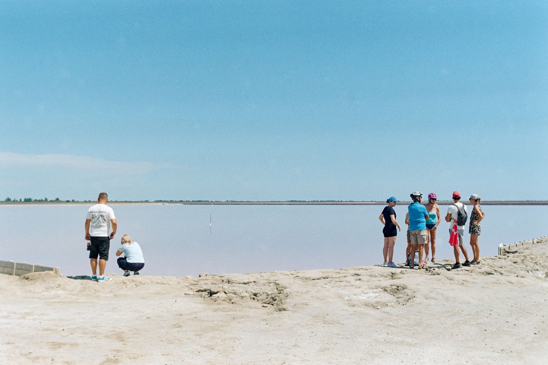
Lago Enriquillo sits in one of the driest, hottest corners of the Caribbean — a hypersaline lake roughly 40 metres below sea level, ringed by two mountain ranges that block the rain and trap the heat. Dead trees rise from the sparkling salt water. American crocodiles drift near the shores of Isla Cabritos. Pink flamingos congregate at Boca de Cachón. The whole place operates on its own logic, closer to the Atacama than to the beach resorts a few hours east.
The lake has roughly doubled in surface area since the early 2000s, and that expansion is visible — drowned vegetation, shorelines that no longer match the maps. It is strange and ancient-feeling, and it rewards attention.
How Lago Enriquillo came to be
The valley itself is around a million years old, shaped when a marine strait gradually filled with sediment from the Yaque del Sur River. The Taíno called the region Xaragua — a major chiefdom known for its agricultural villages and cassava cultivation, governed by the cacique Bohechío.
The lake takes its current name from Enriquillo, a Taíno leader who launched a rebellion against Spanish colonists in the early 16th century and used the mountains south of the lake as a refuge. The carved petroglyphs at Las Caritas — faces and geometric patterns cut into cliff faces overlooking the water — are associated with his time here. The site is also called the Trono de Enriquillo. The national park was established in 1974, and in 2002 the area became part of the broader Jaragua-Bahoruco-Enriquillo Biosphere Reserve.
Who and what shaped it
People who shaped it
Landmark buildings
See Lago Enriquillo in motion
Plan your visit
On the map
When to go
The basin is semi-arid and genuinely hot — daytime temperatures regularly exceed 35°C, and some months average above 40°C. The dry season from November through March is the most comfortable window for a visit; May and October bring the highest rainfall, though even then totals are low compared to the rest of the island.
Right now
Background & history adapted from Wikipedia (CC BY-SA) · specs from Wikidata (CC0) · weather from Open-Meteo · map data © OpenStreetMap contributors · photos from Wikimedia Commons / Unsplash with per-image credit. No third-party reviews or social posts reproduced.