
La Línea de la Concepción
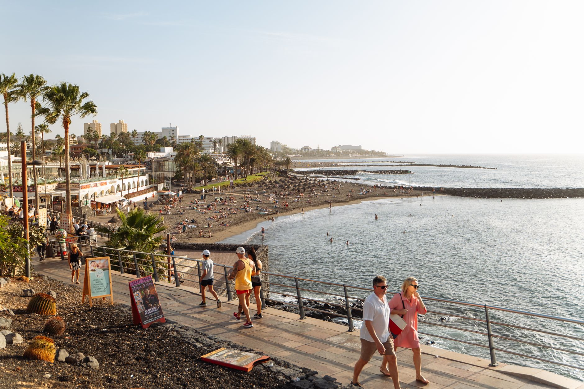
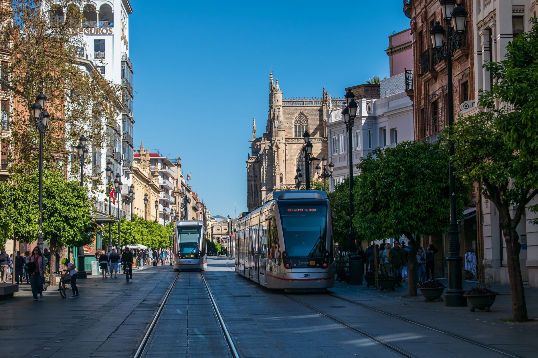
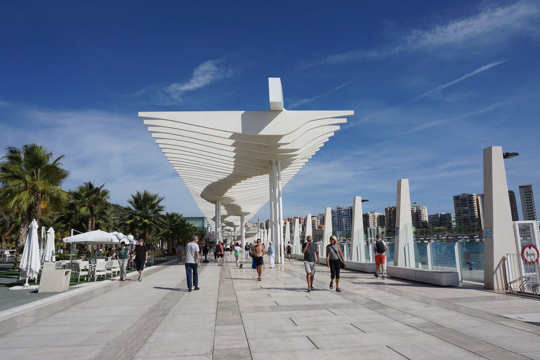
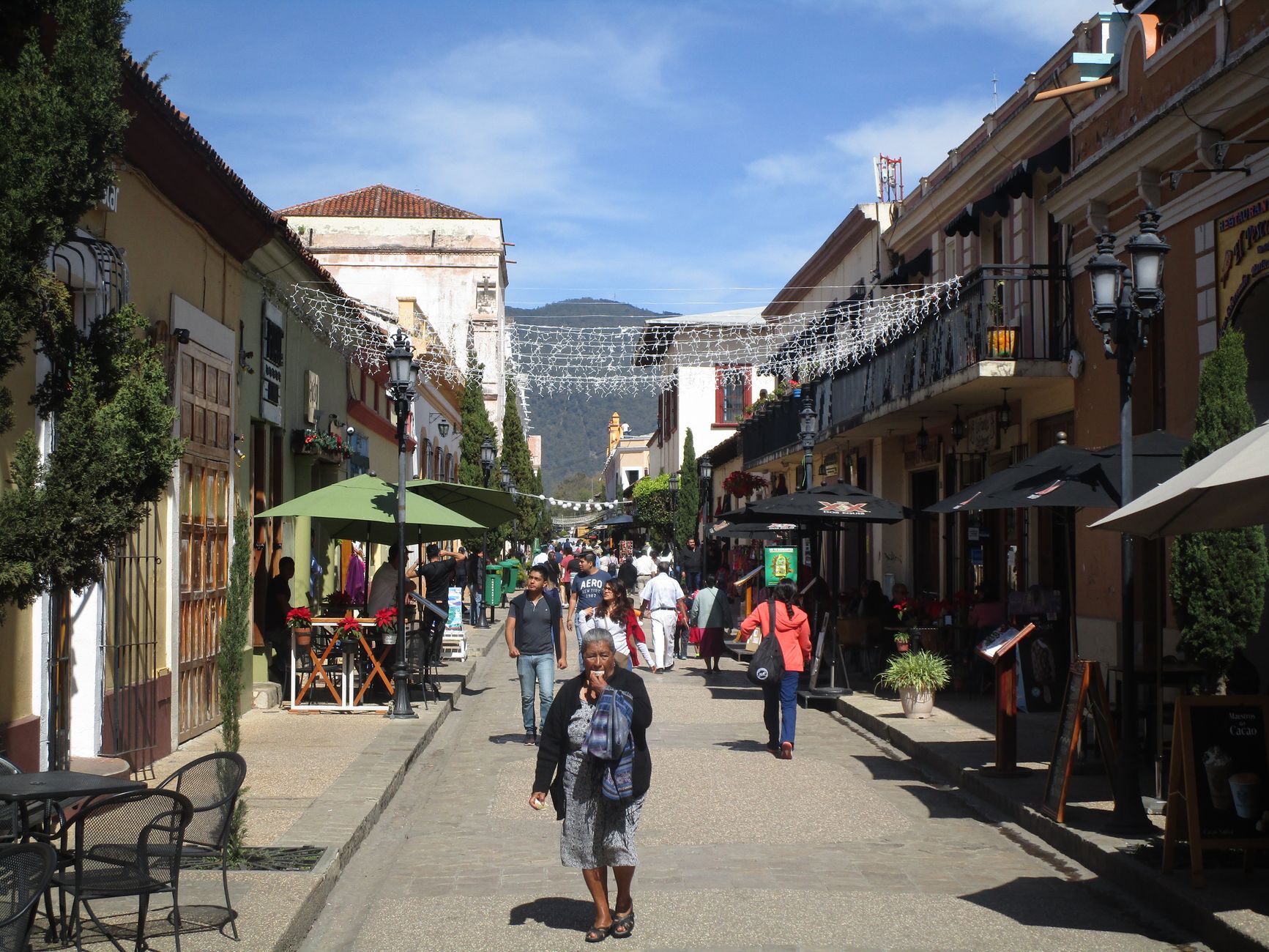
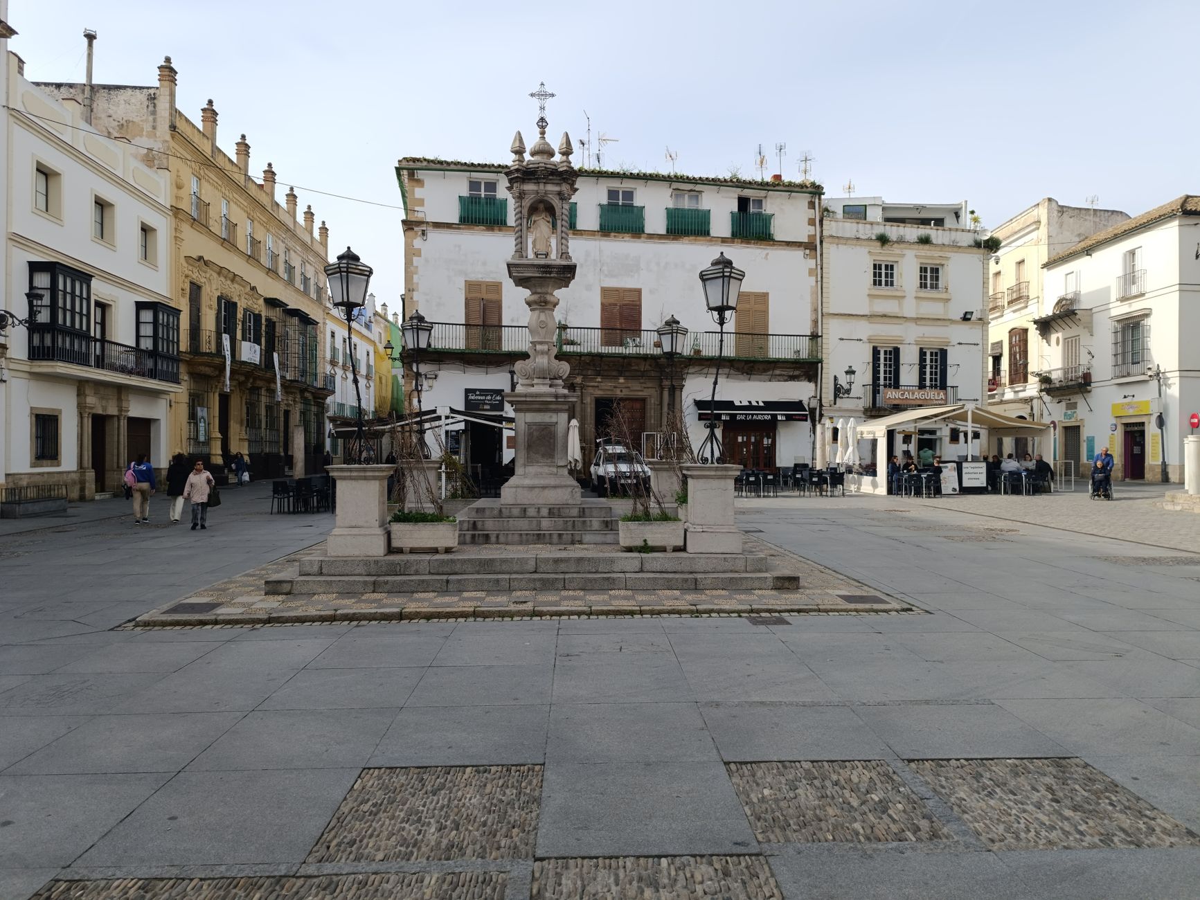
La Línea de la Concepción exists because of a border — and the border exists because of La Línea. The city grew up directly from the military fortifications Spain built after losing Gibraltar to Britain in 1704, and today it still sits at the end of the isthmus, separated from the Rock by a chain-link fence and a kilometre of tarmac. Sixty-five thousand people live here, and many of them cross that border to work each morning.
What you find, once you stop thinking of it as a gateway, is a city with its own particular texture: Civil War bunkers hiding in plain sight along the seafront, a bullring museum that takes the craft seriously, and a monument to the guitarist who co-founded Nazareth — born here, in 1941, to Scottish parents.
💛 What travellers fall for
People who come back tend to time it for the Wednesday market on Avenida Príncipe — fresh produce, old things, clothes — before walking the Paseo Marítimo to see Bunker 154, which went undetected for fifty years thanks to a fake civilian roof. The Camarón de la Isla monument near the centre is the quiet stop that catches you off guard.
Deals in La Línea de la Concepción
Book directly at the provider

How La Línea de la Concepción came to be
The city's origin is a military reaction. After Britain took Gibraltar in 1704 during the War of the Spanish Succession, Philip V ordered a fortified line built across the isthmus to contain the loss and, eventually, take the Rock back. Between 1730 and 1735, the Línea de Contravalación rose under the design of Flemish-Spanish engineer Jorge Próspero de Verboom, directed on-site by his son Isidro — around 600 workers, 200 of them soldiers, spending over eight million reales de vellón. Forts at Santa Bárbara and San Felipe anchored each end. The line was destroyed in 1810 during the War of Independence.
The settlement that grew in the fortification's shadow became its own municipality on 17 January 1870, separating from San Roque. At the first city hall meeting, the name was chosen unanimously: La Línea de la Concepción, the Immaculate Conception being a deep tradition in the Spanish army. Its first mayor, Lutgardo López Muñoz, took office on 20 July that year. Nearly a century later, Franco closed the border with Gibraltar on 8 June 1969, cutting off the livelihoods of many residents overnight. It reopened in December 1982, with full public access restored in 1985.
Who and what shaped it
People who shaped it
Landmark buildings
See La Línea de la Concepción in motion
Plan your visit
On the map
When to go
Summers are hot and dry, with temperatures regularly above 30°C and a persistent Levante wind that rolls in off the Mediterranean. Spring and autumn are mild and clear — the most comfortable time to walk the beaches and the old fortification sites. Winters are short and rarely cold, though the same Levante can make the coast feel raw.
Right now
Background & history adapted from Wikipedia (CC BY-SA) · specs from Wikidata (CC0) · weather from Open-Meteo · map data © OpenStreetMap contributors · photos from Wikimedia Commons / Unsplash with per-image credit. No third-party reviews or social posts reproduced.