
La Boquilla
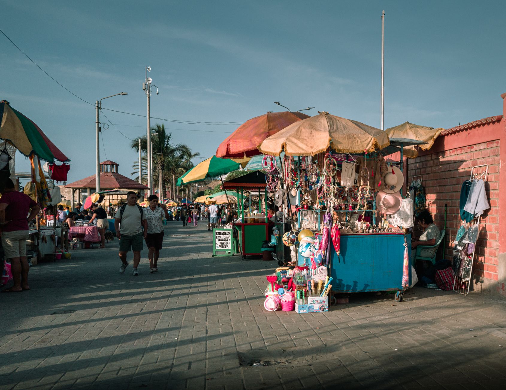
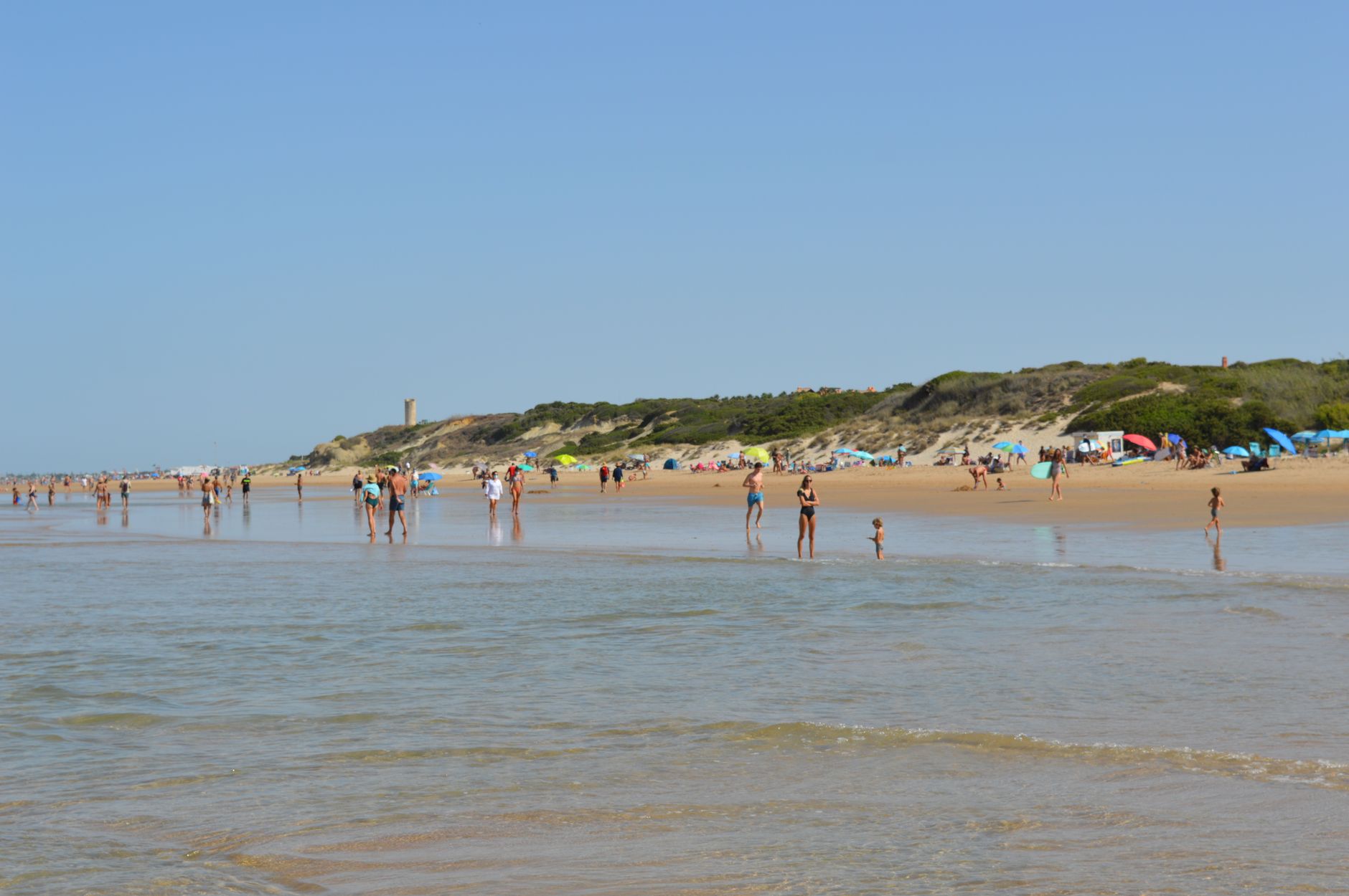
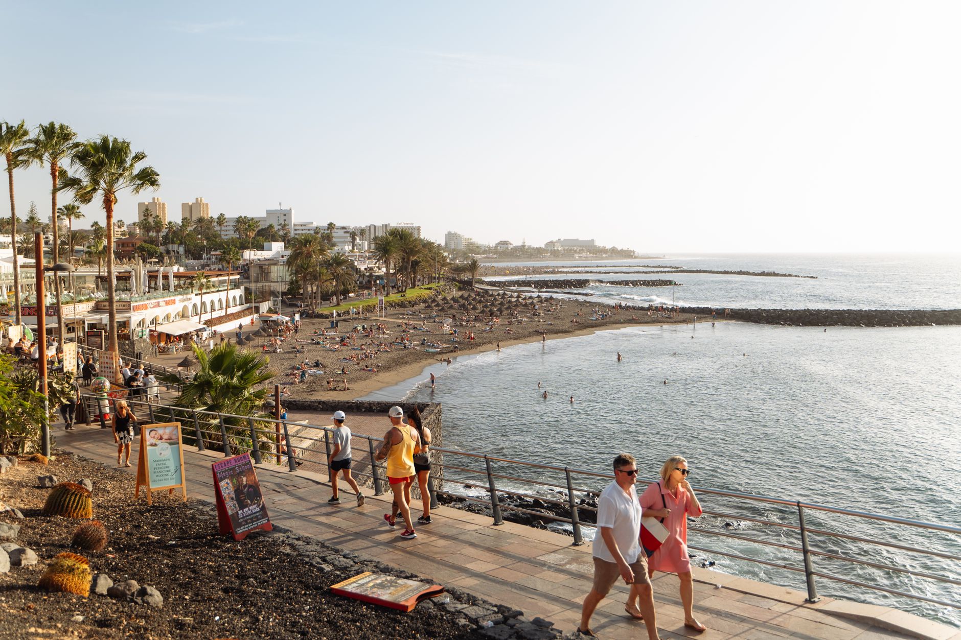
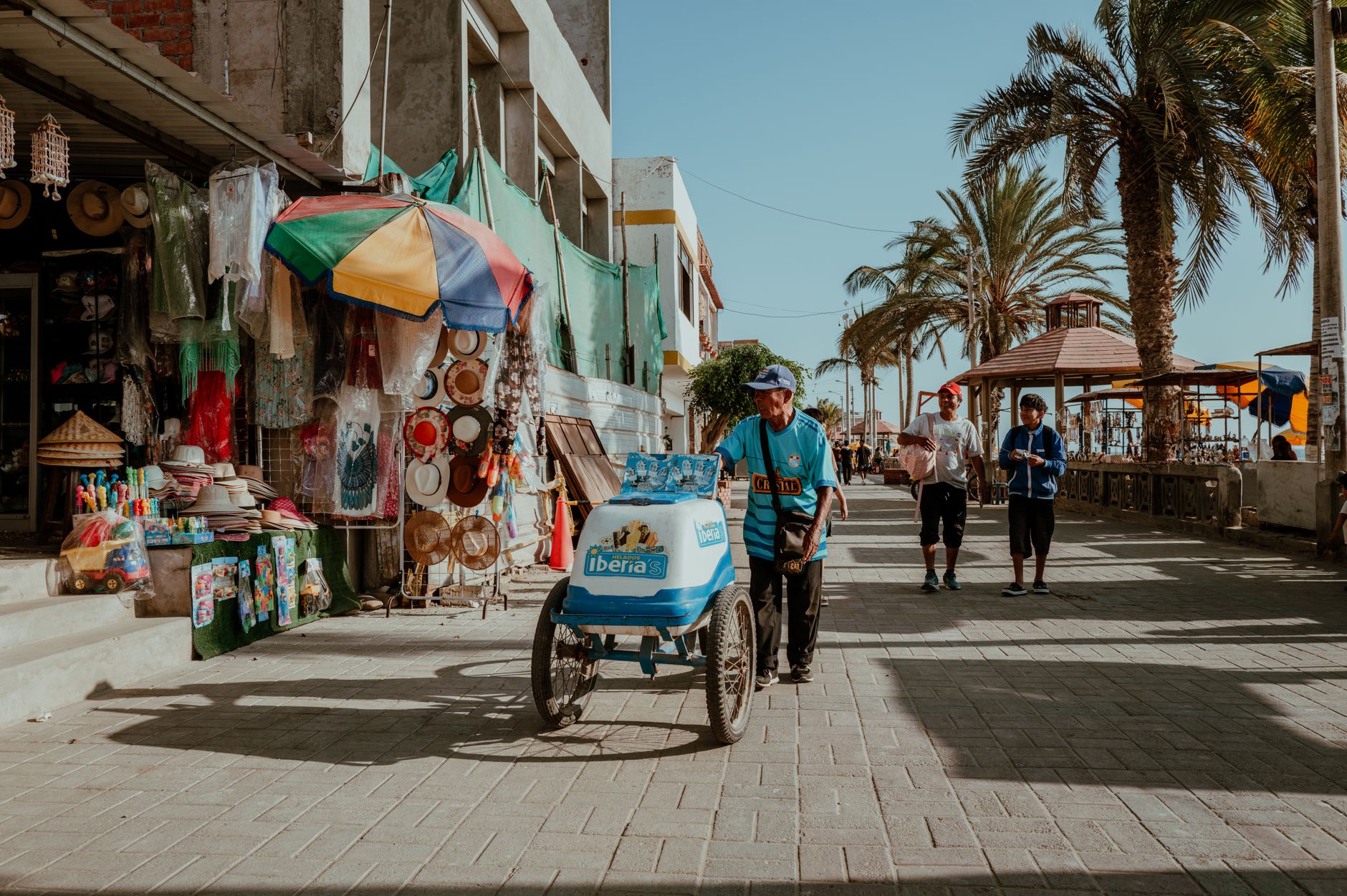
The sand at La Boquilla runs dark gray, which surprises most people expecting white. Yellow canvas tents and palm-roofed kiosks line a 200-meter stretch of beach where the Caribbean shifts from green to crystalline blue depending on the hour. Five minutes from the airport and twenty from Cartagena's old city, it sits at the edge of Ciénaga de la Virgen — a 193-square-mile coastal lagoon threaded with mangrove tunnels, scarlet ibis, and the blue crabs that end up in the pots of 44 beachside restaurants.
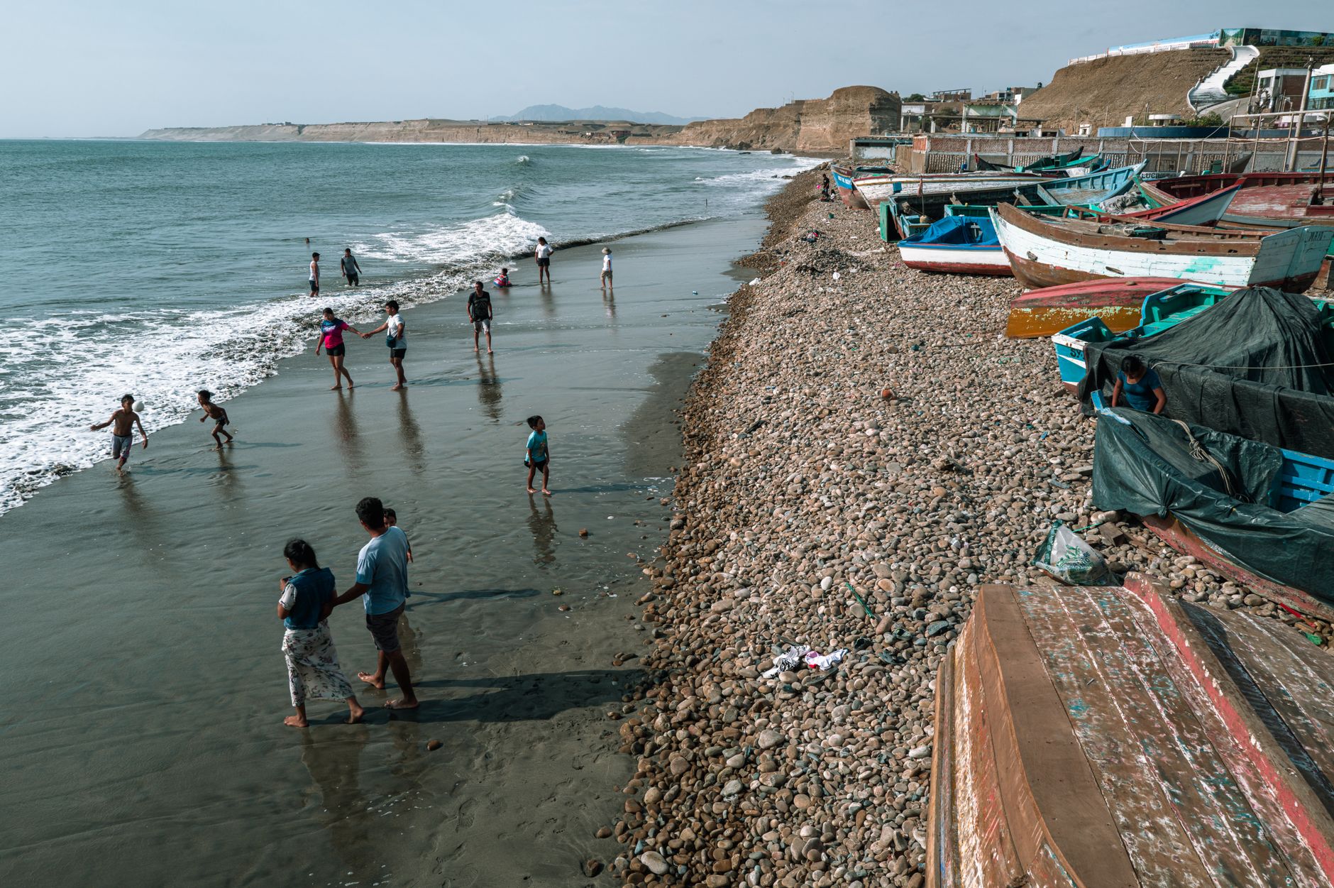
This is a working fishing community first. Early morning, vendors walk the sand with the night's catch — snapper, mojarra, horse mackerel. Narrow wooden canoes guided by local fishermen move through mangrove arches that close overhead like cathedral vaulting. The kite surfers come for the December-to-May wind season, but the wind itself never really stops.
💛 What travellers fall for
People who return tend to book a canoe through one of the fishermen directly on the beach rather than through a hotel desk — the difference in pace is considerable. Lunch at any of the 44 restaurants rewards a call ahead; the daily catch sells out. Arrive before 9 AM to watch the fish vendors before the tents fill.
Deals in La Boquilla
Book directly at the provider


How La Boquilla came to be
La Boquilla takes its name from the small water passages — boquillas — connecting Ciénaga de la Virgen to the Caribbean. After the abolition of slavery in Colombia, freed Black fishermen settled here, drawn by proximity to the sea and the lagoon's resources. The community has held this stretch of coast for more than a century, developing its own Afro-Caribbean culture, music, and fishing traditions.
The legal history of that land is unresolved. In 2009, residents formalized the Consejo Comunitario de Comunidades Afro. On 15 April 2012, Colombian President Juan Manuel Santos — with U.S. President Barack Obama present at Plaza San Pedro Claver in Cartagena — awarded the community a collective land title recognizing 39 hectares under Resolution 0467. In 2020, the Tribunal de Bolívar annulled that resolution. The question of who the land belongs to remains open.
Who and what shaped it
People who shaped it
Landmark buildings
See La Boquilla in motion
Plan your visit
On the map
When to go
Temperatures hold steady year-round, averaging highs around 31°C (88°F), with January and February the driest and most reliably sunny months for beach days. October brings the heaviest rainfall — over 17 inches that month alone — so the September-to-November window trades weather reliability for significantly lower costs.
Right now
Background & history adapted from Wikipedia (CC BY-SA) · specs from Wikidata (CC0) · weather from Open-Meteo · map data © OpenStreetMap contributors · photos from Wikimedia Commons / Unsplash with per-image credit. No third-party reviews or social posts reproduced.