
Kutná Hora
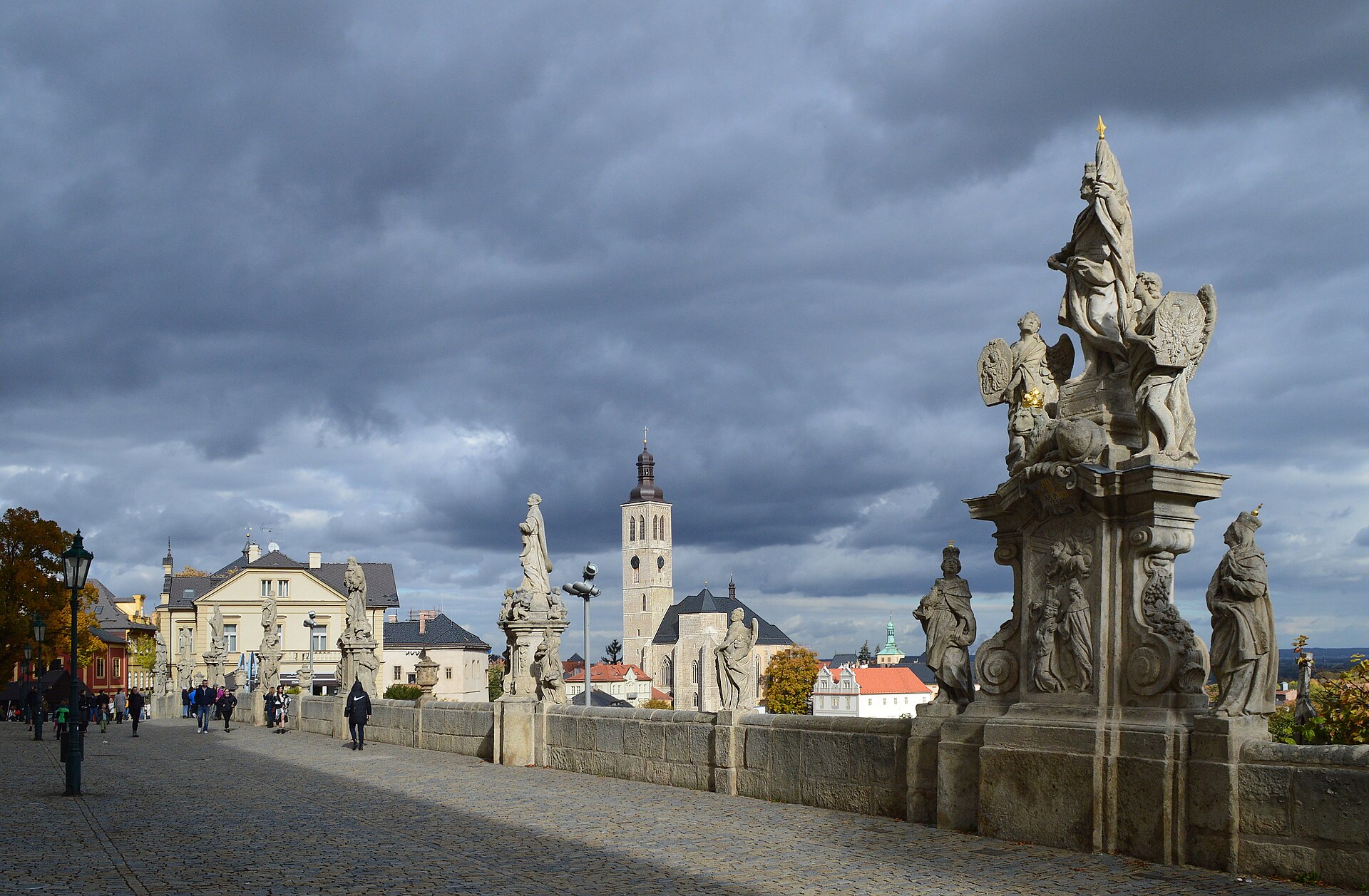
An hour east of Prague, Kutná Hora made its fortune underground. Silver ore discovered in 1260 turned a modest settlement into one of the most powerful towns in medieval Central Europe — wealthy enough to raise a cathedral that took five centuries to finish and a mint that shaped the economy of the Czech lands for four hundred years. That money is still visible in the skyline: two Gothic towers competing for height, a burgher house carved with enough ornament to embarrass a palace, and a fountain that once piped clean water in from beyond the city walls.
What makes Kutná Hora worth a full day rather than a quick stop is the distance between its monuments. The Sedlec Ossuary sits in a suburb twenty minutes' walk from the centre, and the route between them passes streets that have barely changed their proportions since the 15th century.
How Kutná Hora came to be
Silver mining began here in 1260, and by 1300 King Wenceslaus II had issued a landmark royal mining code and established the central mint of the Czech lands inside the newly built Italian Court. The Prague groschen struck here circulated across medieval Europe. Construction on the Church of St. Barbara — the miners' cathedral — started in 1388 and drew on the Parler workshop, the same family of architects behind Prague's St. Vitus Cathedral.
The silver ran out gradually. By 1727 the mint closed for good, and the town settled into a quieter existence. What remained was a near-intact layer of Gothic and Baroque architecture, protected as an urban monument reservation since 1961 and inscribed on the UNESCO World Heritage list in 1995.
Who and what shaped it
People who shaped it
Landmark buildings
See Kutná Hora in motion
Plan your visit
On the map
When to go
Spring and early autumn are the most comfortable seasons — mild temperatures and long light without the summer crowds. Winter is cold and grey but the lack of tourists and the low sun on the stone towers has its own appeal.
Right now
Background & history adapted from Wikipedia (CC BY-SA) · specs from Wikidata (CC0) · weather from Open-Meteo · map data © OpenStreetMap contributors · photos from Wikimedia Commons / Unsplash with per-image credit. No third-party reviews or social posts reproduced.