
Kruger National Park
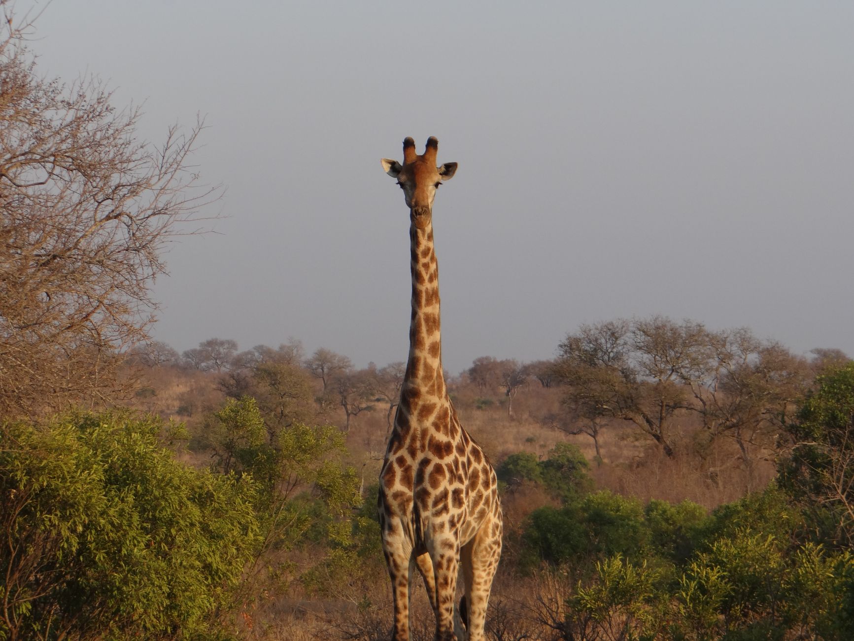
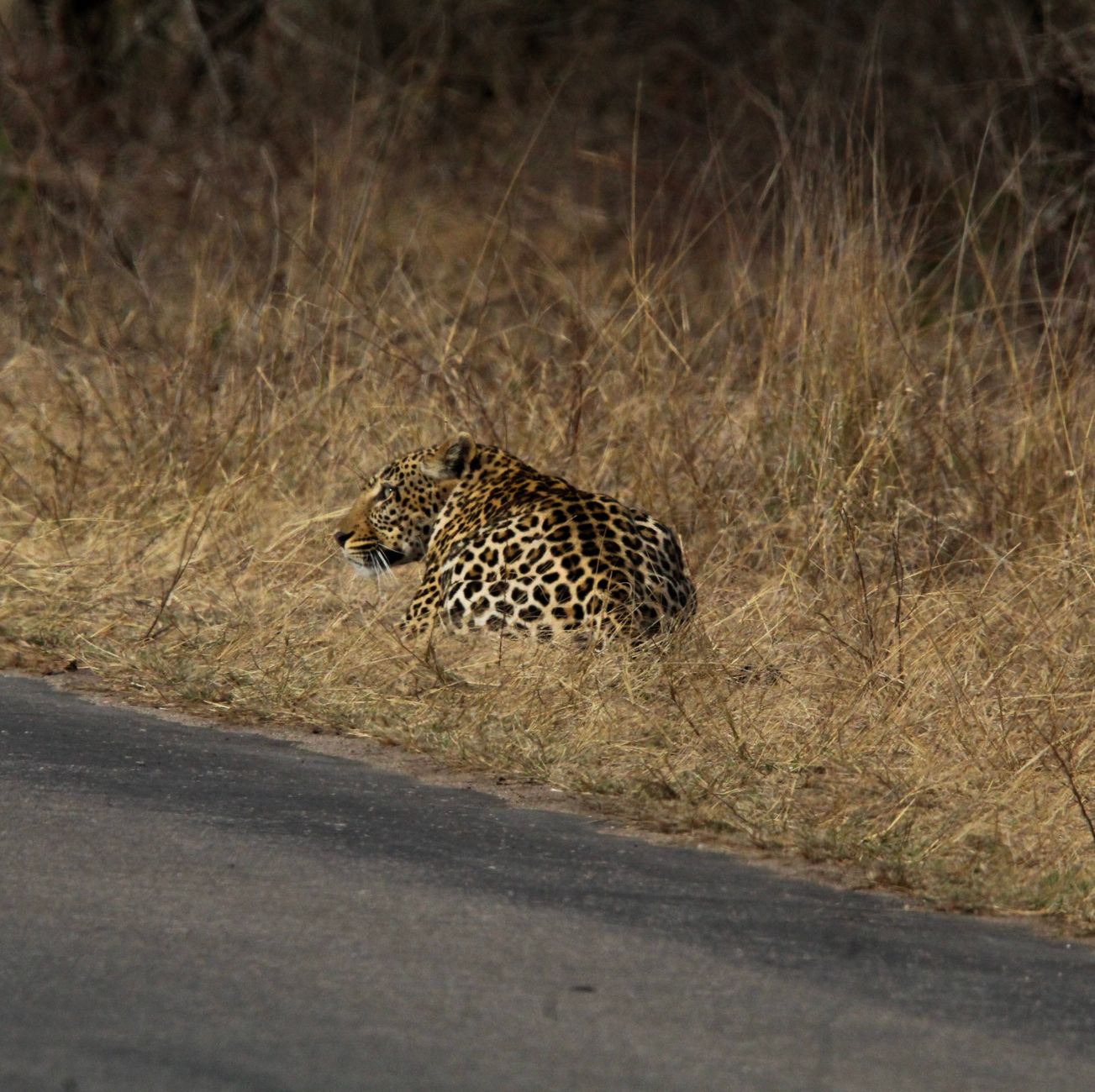
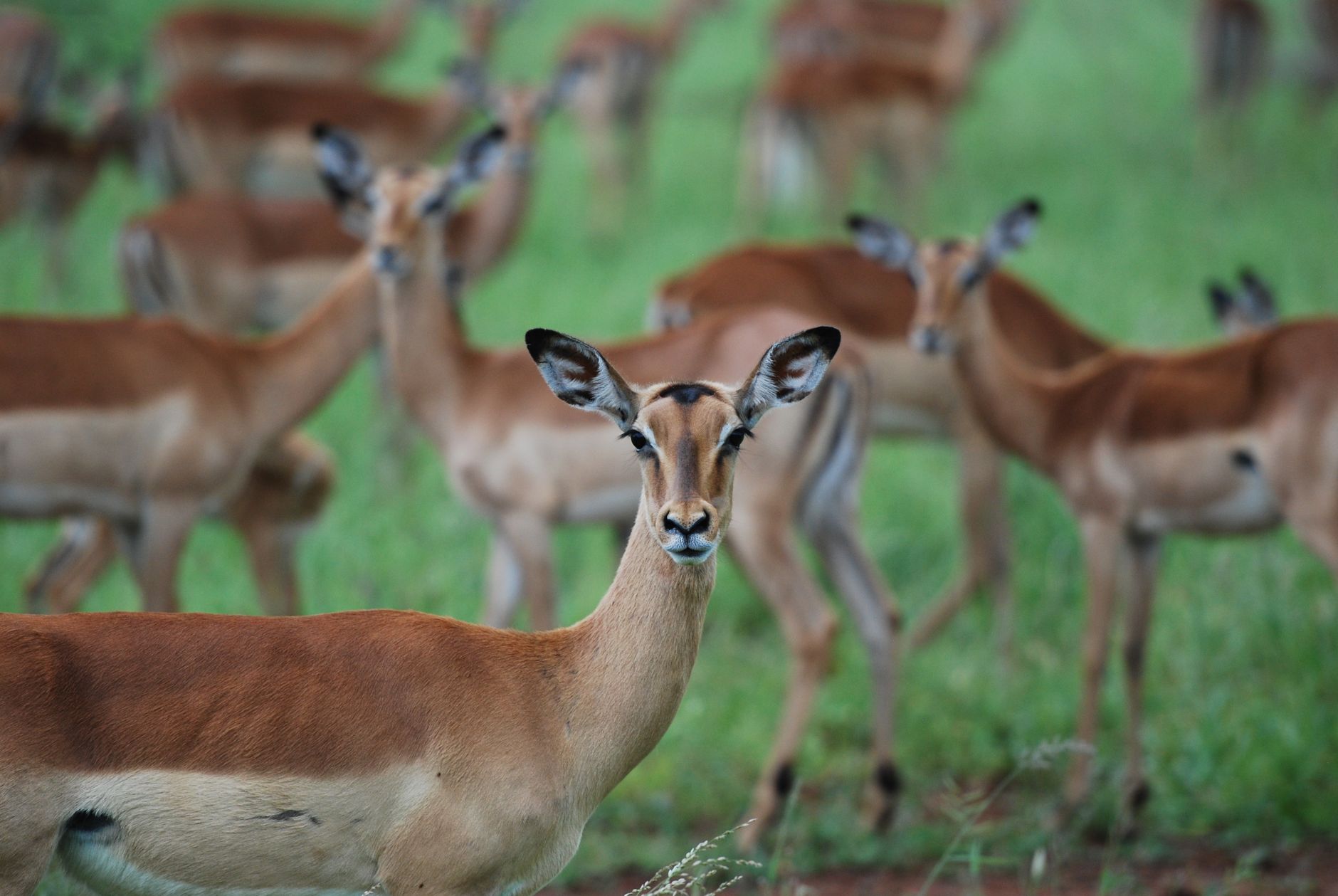
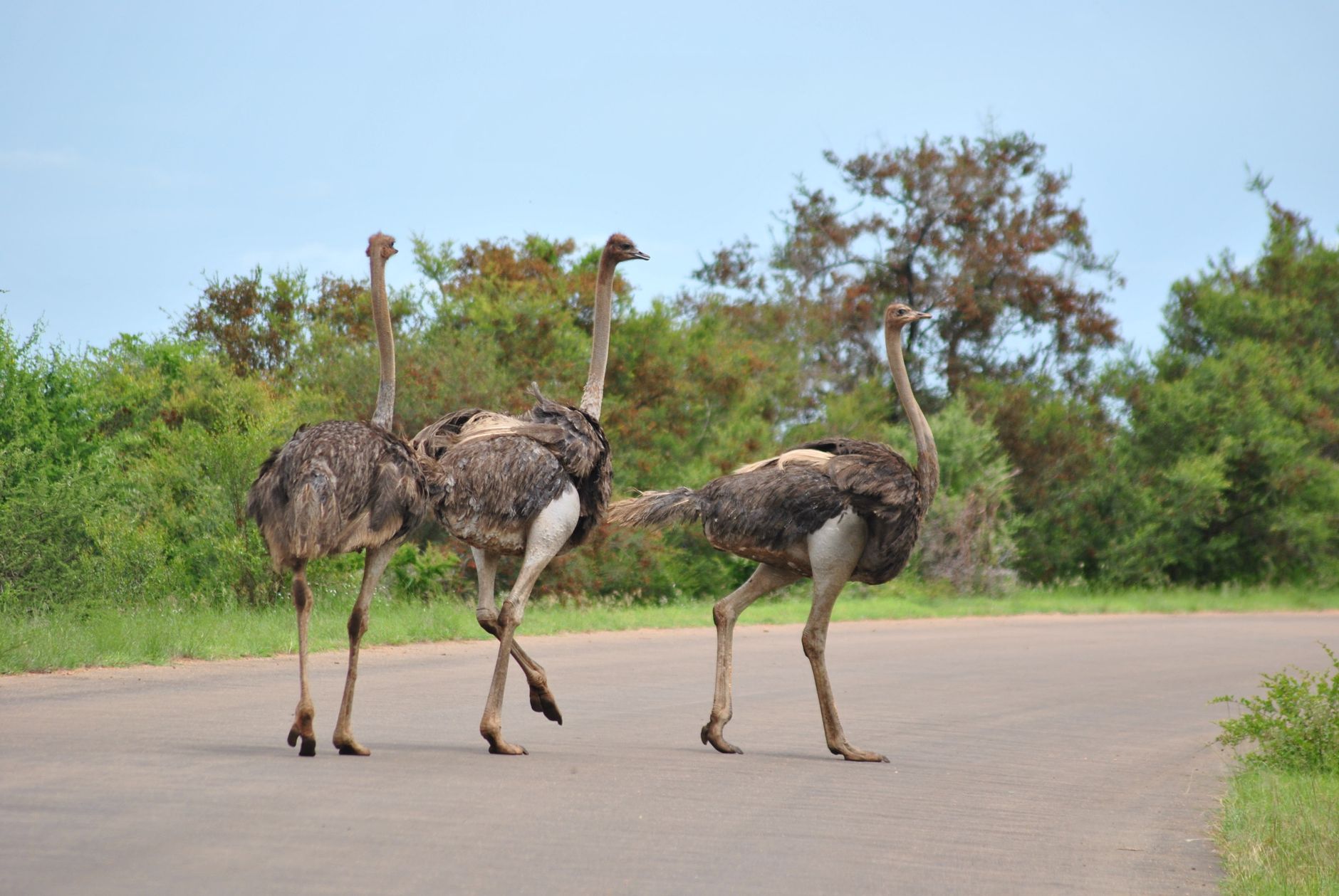
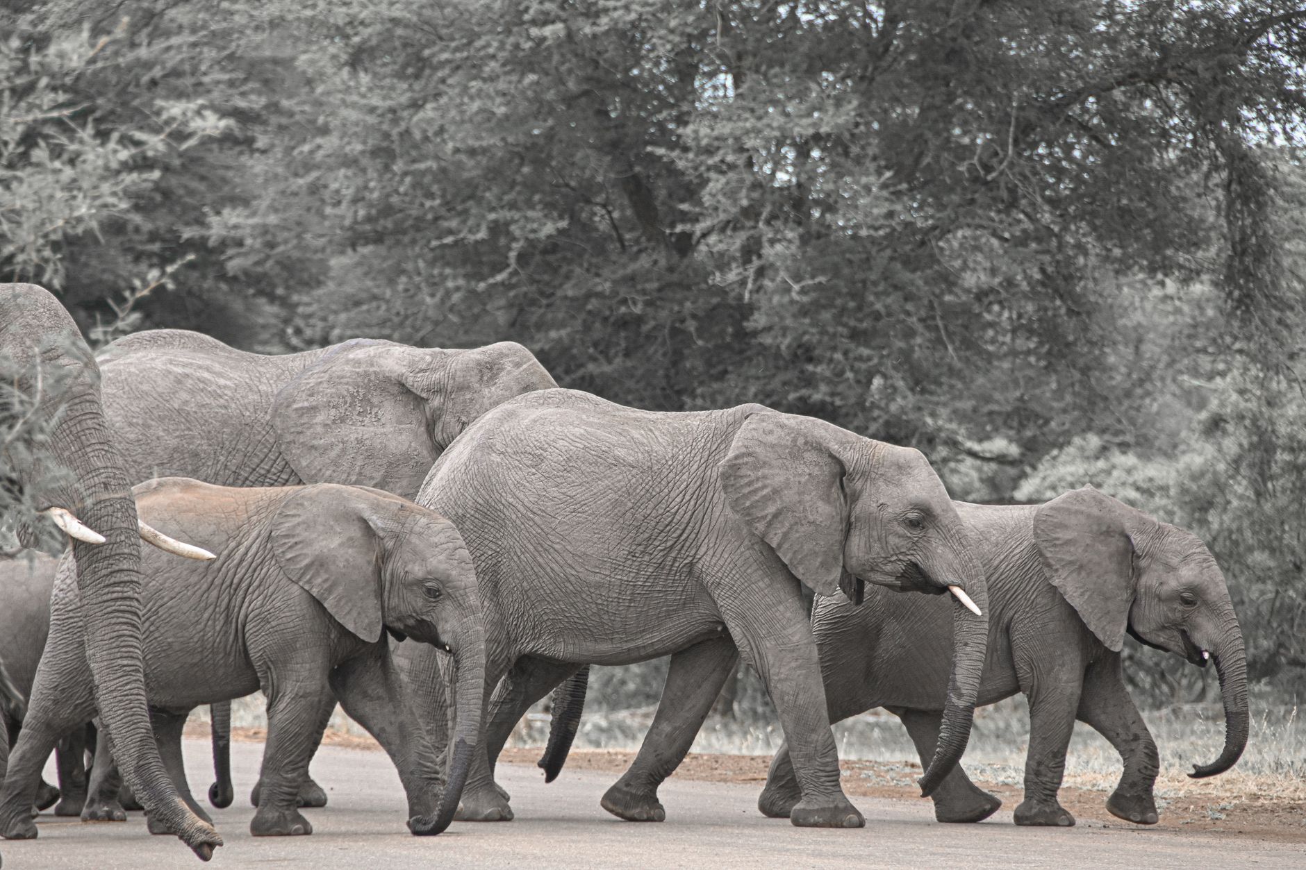
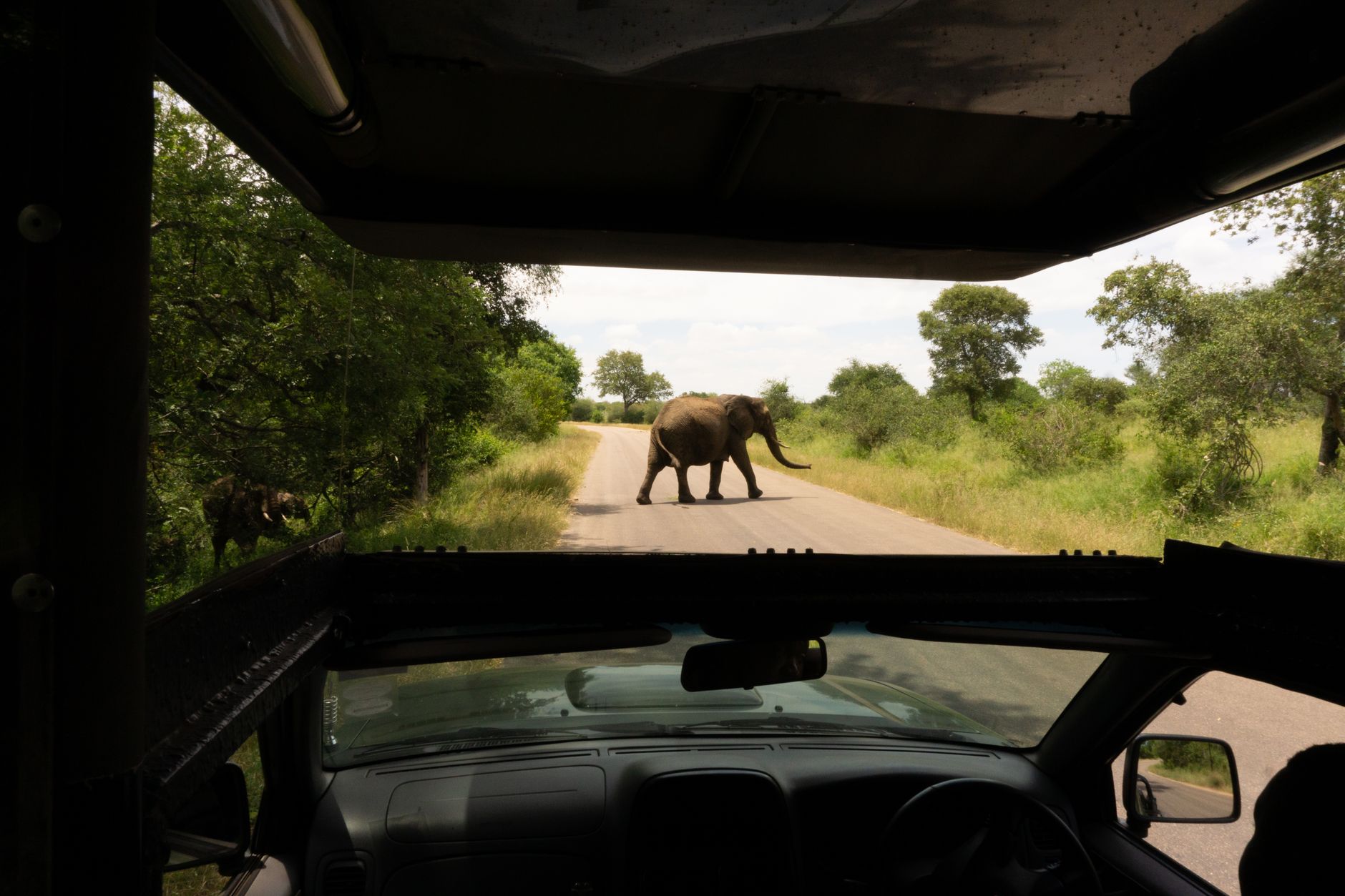
At nearly two million hectares, Kruger is roughly the size of Wales — and the scale of it hits you the moment you pass through the Paul Kruger Gate and the tar road narrows into something that feels genuinely provisional. Elephants cross when they want to. The speed limit is 50 km/h on tar, slower on dirt, and the park enforces it; you are, quite deliberately, slowed down.
There are ten entrance gates, dozens of rest camps, and a road network built out from scratch in the late 1920s. Most people anchor themselves in the south, where the game density is highest, but the far north — around Punda Maria and the Pafuri region — rewards the longer drive with a different landscape entirely.
💛 What travellers fall for
People who keep coming back tend to stay at Lower Sabie for the southern game circuit, then push north to Letaba for a night mid-trip — the elephant museum there, with its collection of tusks from the great bulls, is worth the detour on its own. Early mornings on the S28 between Crocodile Bridge and Lower Sabie consistently produce big cats. Leave camp at gate-open.
How Kruger National Park came to be
The land that became Kruger was proclaimed a game reserve in 1898 by the South African Republic under President Paul Kruger, initially covering just over ten thousand square kilometres along the Sabie River. Four years later, James Stevenson-Hamilton arrived as its first warden — a post he would hold for 44 years, earning him the title 'Father of Kruger National Park'. He spent much of that time fighting off farming and mining interests and, eventually, persuading the government to formalise protection.
The National Parks Bill passed on 11 June 1926, and the park was renamed in Kruger's honour. The first tourist cars entered in 1927; by 1929, 617 kilometres of roads had been laid. In 1957, conservationist Ian Player and guide Magquba Ntombela pioneered the park's first wilderness trails on foot. By 2002, annual visitors had crossed one million, and a transfrontier agreement with Zimbabwe and Mozambique began dissolving the fences along Kruger's eastern and northern edges.
Who and what shaped it
People who shaped it
Landmark buildings
See Kruger National Park in motion
Plan your visit
On the map
When to go
Winters (May to September) are dry, sunny, and mild by day — around 26°C — with cold nights; this is when the bush thins out and animals cluster around water sources, making it the clearest season for game viewing. Summers bring heat up to 33°C, afternoon thunderstorms, and a flush of newborn animals from November onward, though the dense green vegetation can make sightings harder work.
Right now
Background & history adapted from Wikipedia (CC BY-SA) · specs from Wikidata (CC0) · weather from Open-Meteo · map data © OpenStreetMap contributors · photos from Wikimedia Commons / Unsplash with per-image credit. No third-party reviews or social posts reproduced.