
Krabi
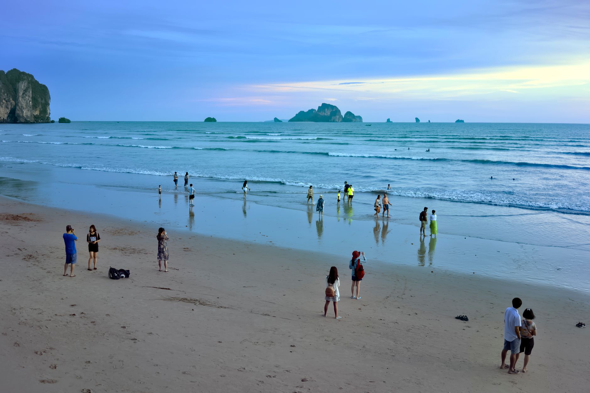
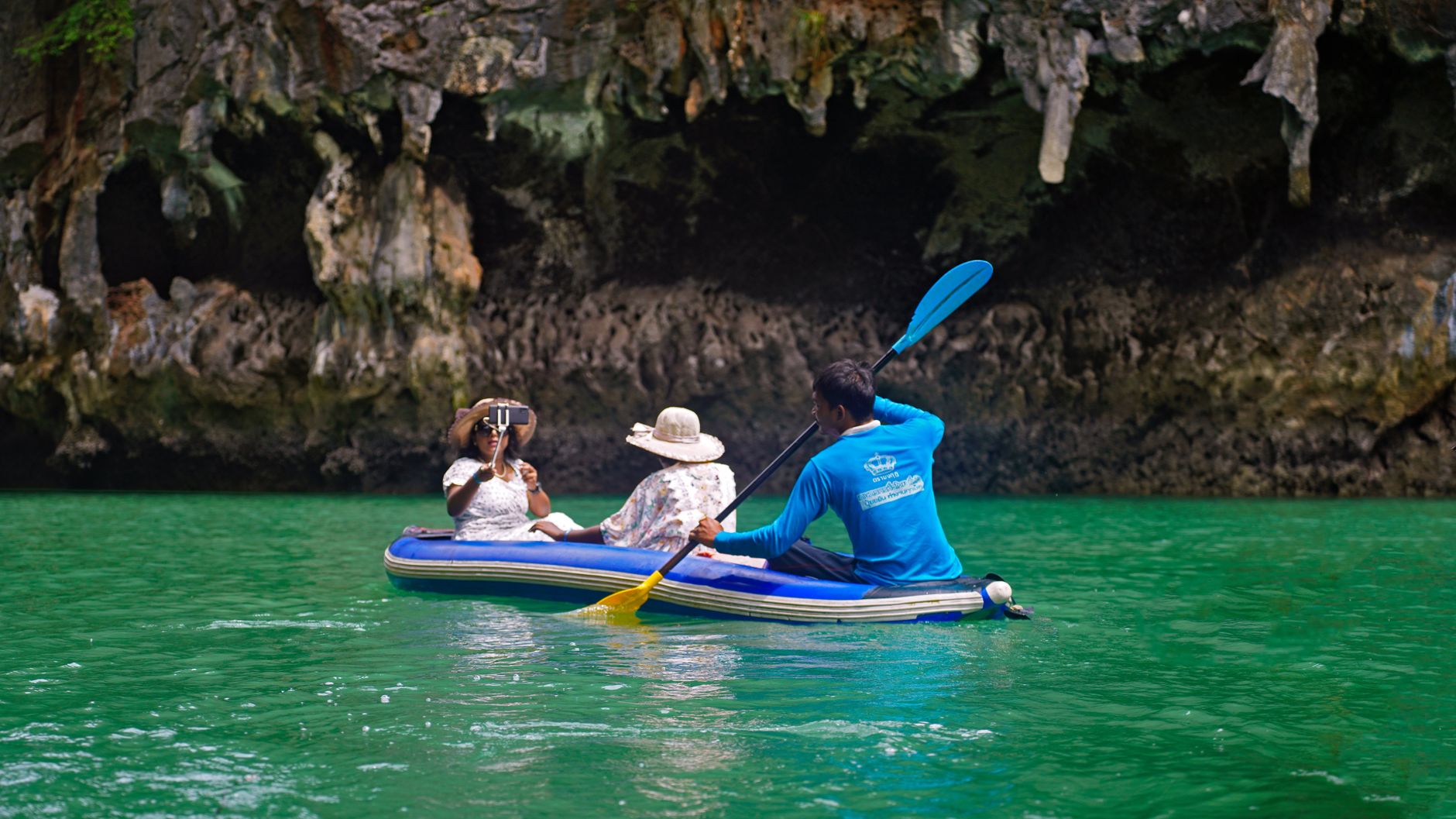
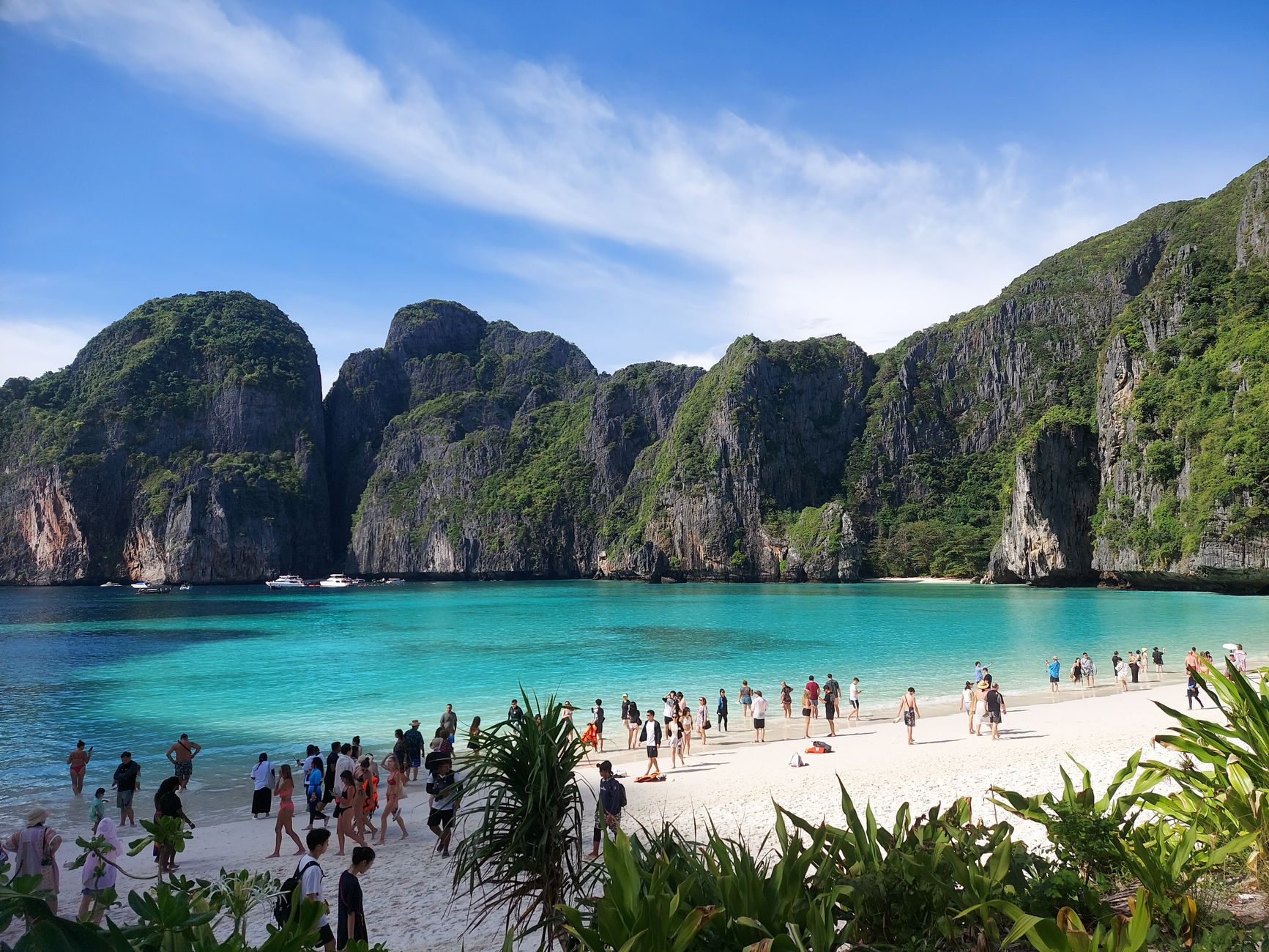
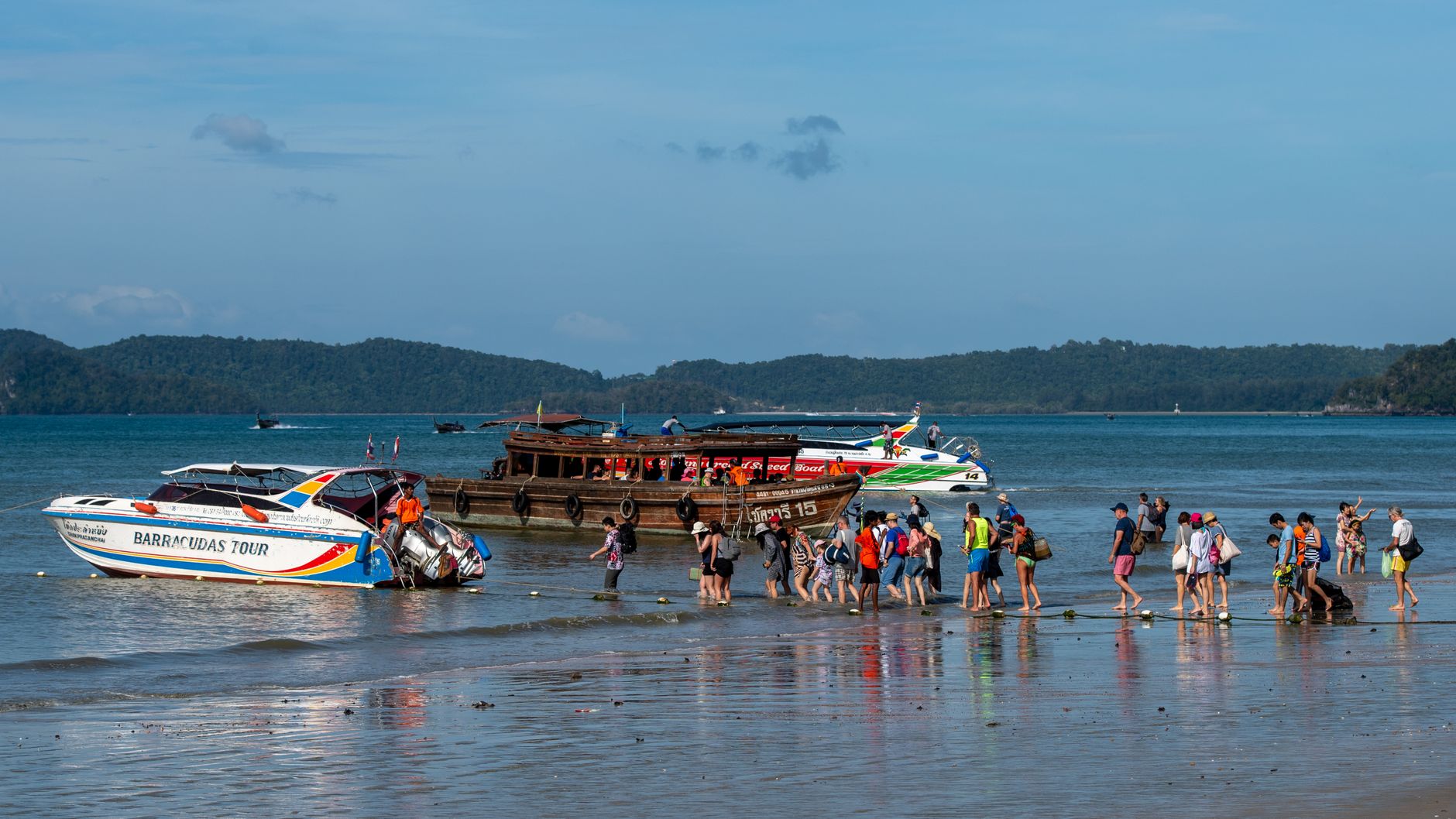
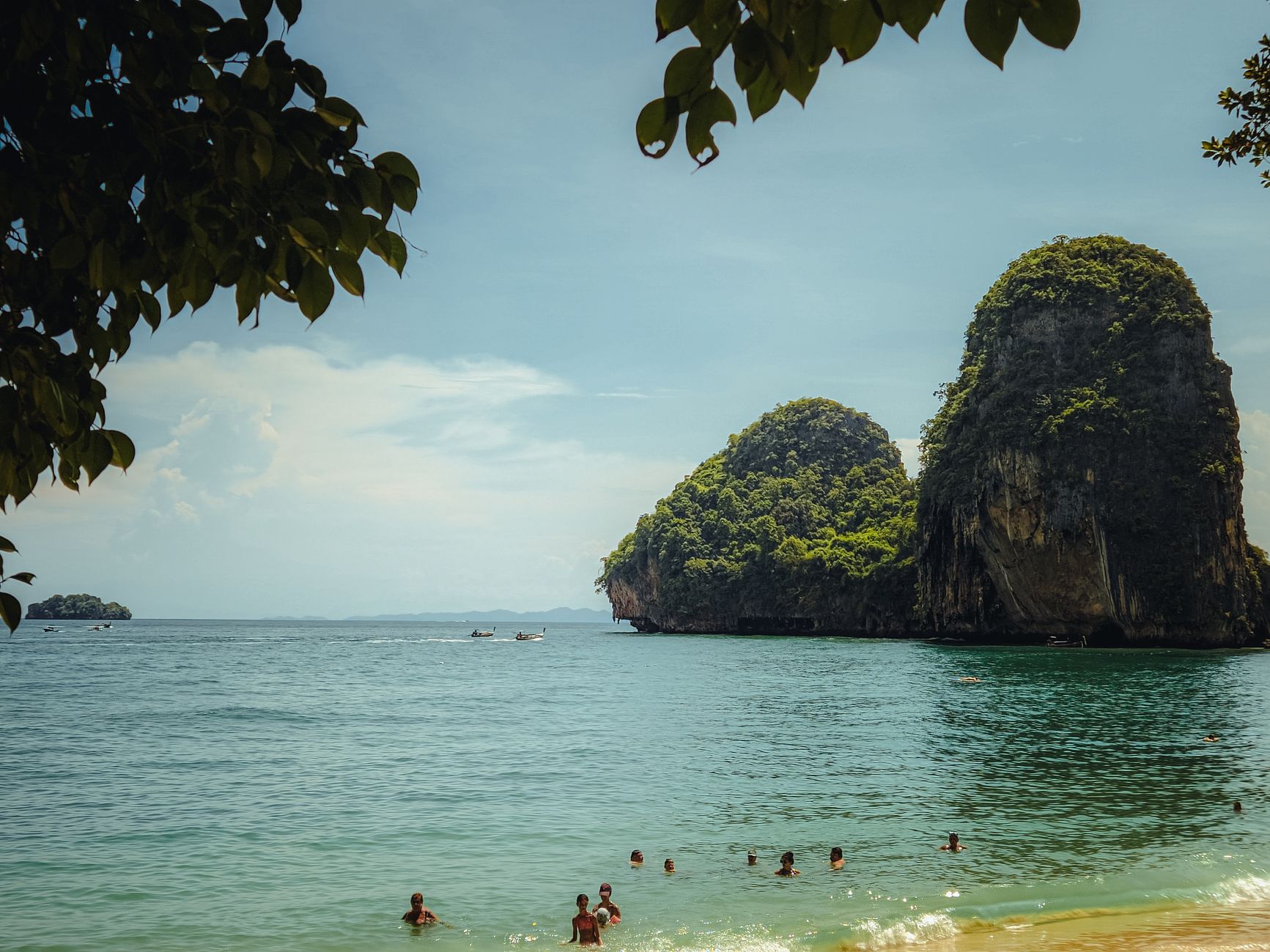
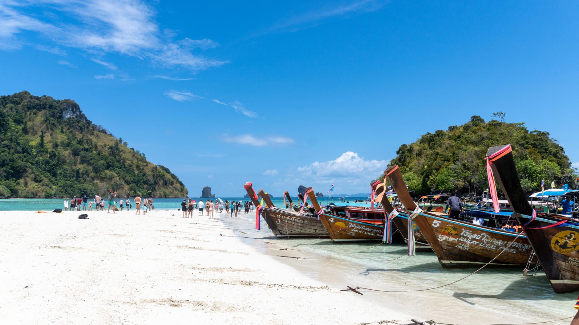
Krabi's most disorienting quality is geological: limestone karst towers rise straight out of the Andaman Sea and the mangrove estuaries alike, as if the land never quite decided where it ended. The region stretches from the mainland town on the Krabi River out to islands, beaches and cliff-backed coves — Railay accessible only by longtail boat even though it sits on the mainland, because the karst makes a road impossible.
The town itself is the quiet anchor. A morning at Chao Fah Pier watching boats load for the islands, an afternoon climbing 1,237 steps to the summit of Wat Tham Suea, and the scale of the place starts to make sense — this is a region, not a resort.
💛 What travellers fall for
People who come back tend to base themselves in Krabi Town rather than Ao Nang — cheaper, less foot traffic, and the songthaew to the beach costs 50 baht. The Khao Khanab Nam caves are worth the fifteen-minute longtail from the river pier: the limestone is 300 million years old and the Neolithic artifacts found here in 1983 give the whole landscape a different weight.
How Krabi came to be
Human presence here goes back somewhere between 25,000 and 35,000 years, and the limestone caves along the river have held that evidence since at least the Neolithic period — confirmed by Fine Arts Department excavations in 1983 that turned up artifacts from the Neolithic, Bronze and Iron Ages. The first written record places Krabi, then called Ban Thai Samor, as a tributary of the Kingdom of Ligor around 1200 AD.
The modern town took shape in stages. In 1872, King Chulalongkorn elevated the settlement to town status and appointed Luang Thep Sena as its first governor. By 1875 it reported directly to Bangkok. Then in 1900, Phraya Ratsadanupradit — the lord lieutenant of Phuket — relocated the town center to Pak Nam sub-district, where the deep-water channel near the estuary could receive large ships.
Who and what shaped it
People who shaped it
Landmark buildings
See Krabi in motion
Plan your visit
On the map
When to go
December through March brings flat seas, clear skies and around eight hours of sunshine daily — the most reliable window. The rainy season runs May to October, with September the peak; temperatures stay warm but soften slightly, and the region is quieter and cheaper.
Right now
Background & history adapted from Wikipedia (CC BY-SA) · specs from Wikidata (CC0) · weather from Open-Meteo · map data © OpenStreetMap contributors · photos from Wikimedia Commons / Unsplash with per-image credit. No third-party reviews or social posts reproduced.