
Kota Kinabalu
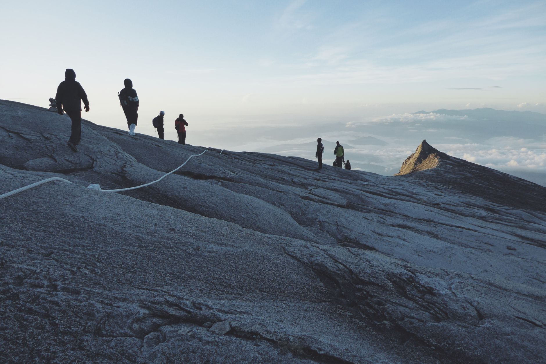
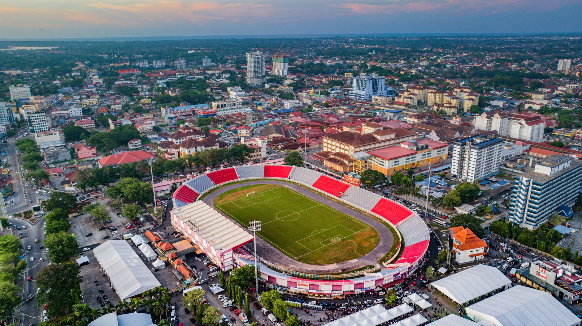
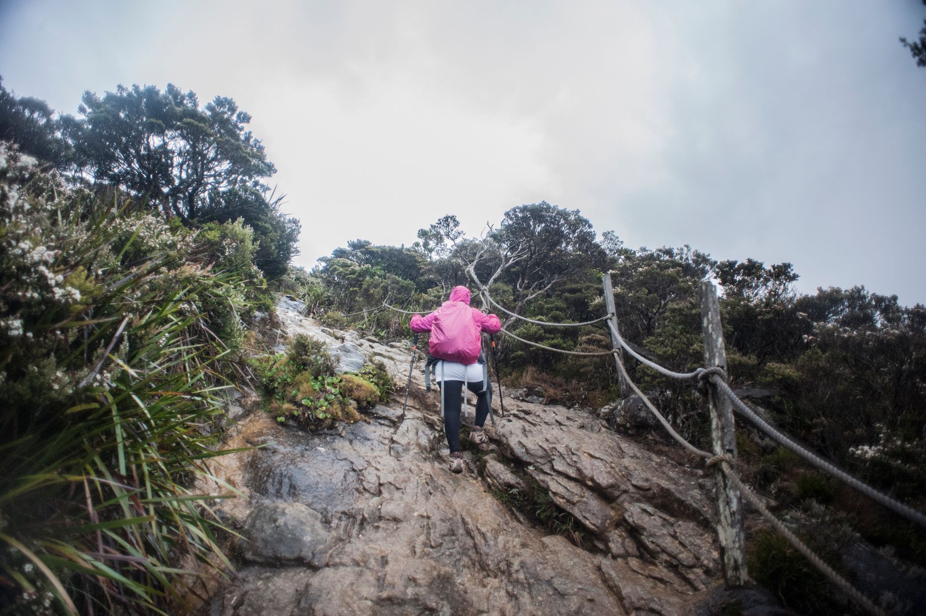
Kota Kinabalu sits at the edge of the South China Sea with Mount Kinabalu filling the inland horizon on clear mornings — a reminder that this city has always been defined by what surrounds it. The waterfront is the pulse of daily life: fishing boats unload before dawn, the Filipino Market spills colour and dried seafood across the jetty, and the light at sunset over the offshore islands turns the kind of orange that stops conversations.
As the capital of Sabah, KK is the natural starting point for Borneo's north — the place you arrive, orient yourself, and keep returning to between longer journeys into the interior or out to sea.
How Kota Kinabalu came to be
The city's origin is tangled in colonial ambition and indigenous resistance. The British North Borneo Chartered Company established a settlement at Gaya Bay in 1882, only to see it burned to the ground in 1897 by Mat Salleh, a Bajau-Suluk chief who became the defining symbol of local defiance against British rule. The company rebuilt on the present site in 1899, naming it Jesselton after company director Charles Jessel. The one structure that survived intact from that era is the Atkinson Clock Tower, built in 1905 by a mother in memory of her son, who died of malaria at 28.
World War II erased almost everything else — Allied bombing in 1945 left only three buildings standing. The city rebuilt, became the capital of British North Borneo, and on 16 September 1963 entered the Federation of Malaysia as part of the newly formed state of Sabah. In 1968 it was renamed Kota Kinabalu, meaning Fort of Kinabalu, pointing toward the mountain that had always dominated the skyline.
Who and what shaped it
People who shaped it
Landmark buildings
See Kota Kinabalu in motion
Plan your visit
On the map
When to go
Kota Kinabalu is warm and humid year-round, with temperatures sitting around 27–33°C. The driest and most reliably sunny months run from March through September; the northeast monsoon brings heavier rain from November into February, though brief downpours rather than all-day grey are the norm even then.
Right now
Background & history adapted from Wikipedia (CC BY-SA) · specs from Wikidata (CC0) · weather from Open-Meteo · map data © OpenStreetMap contributors · photos from Wikimedia Commons / Unsplash with per-image credit. No third-party reviews or social posts reproduced.