
Korčula Island
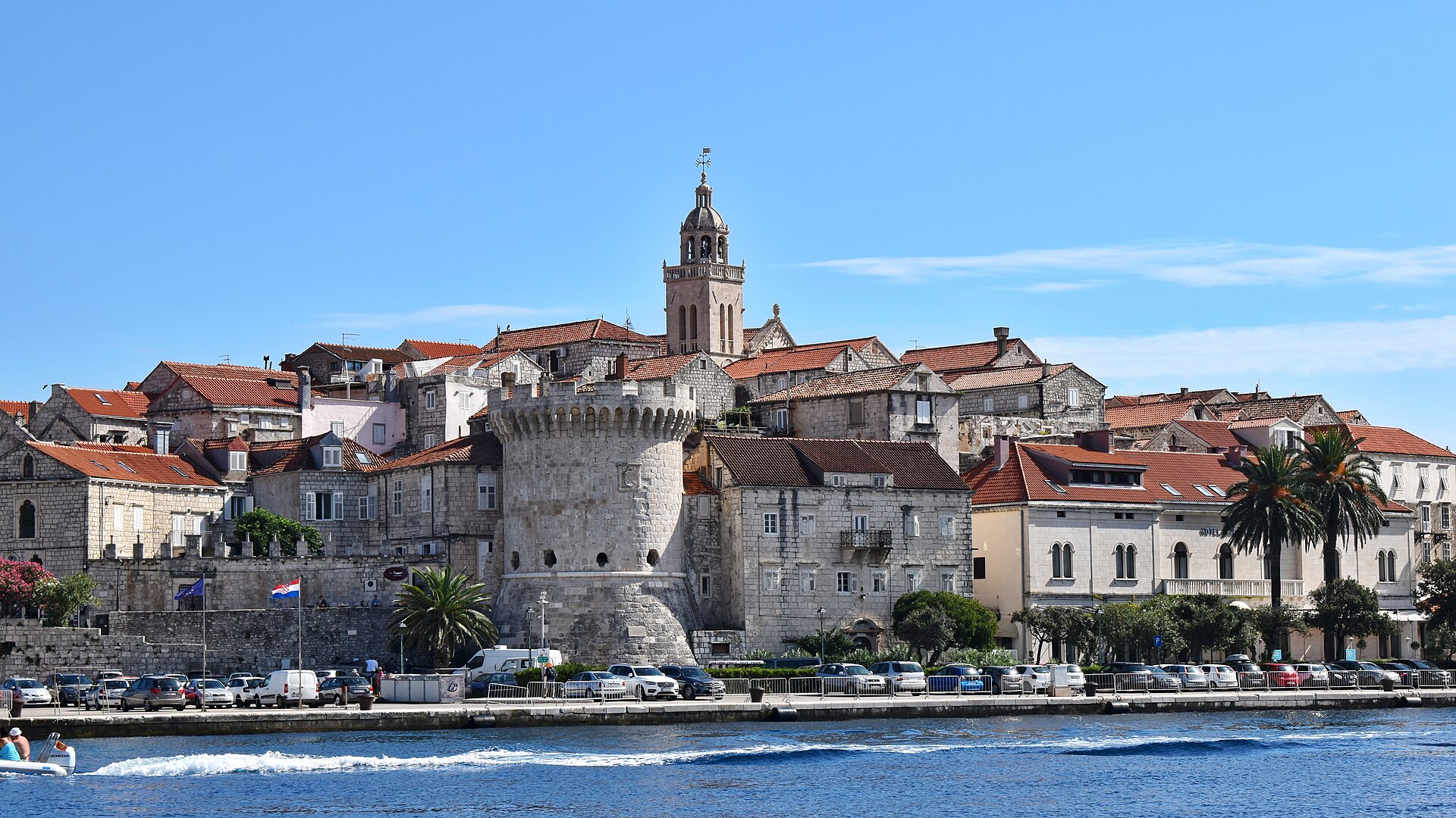
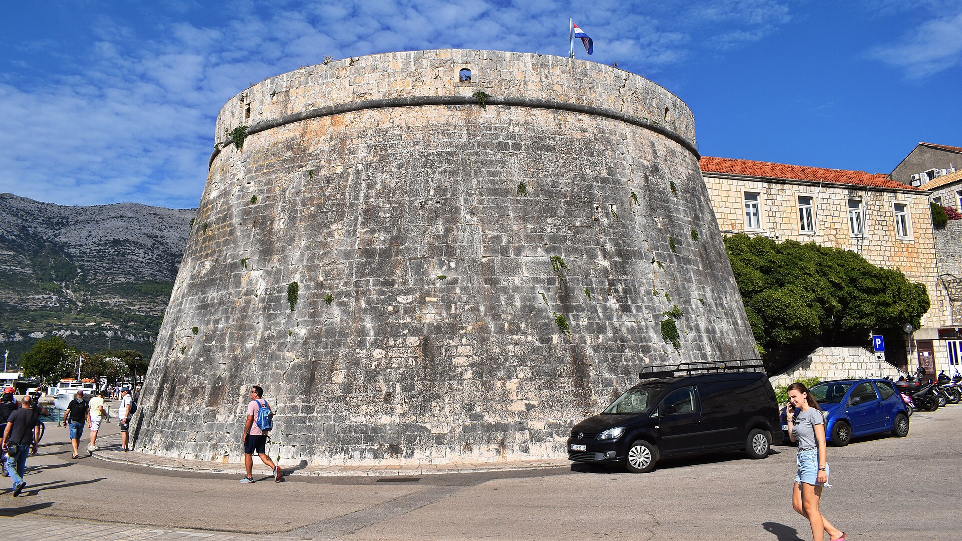
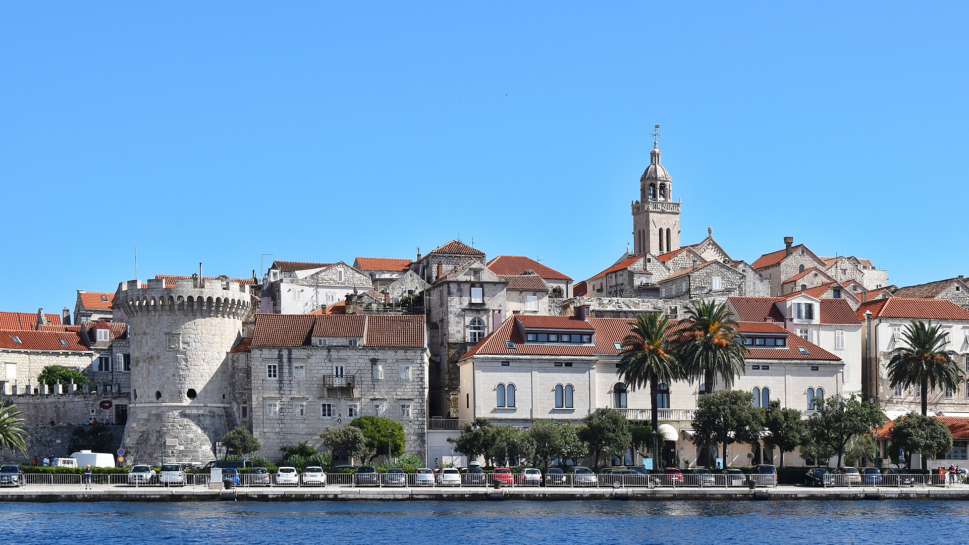
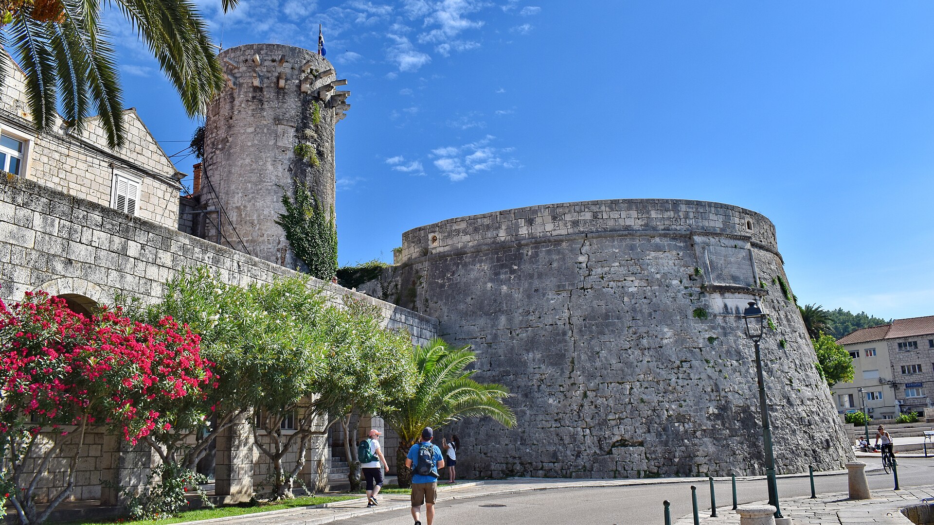
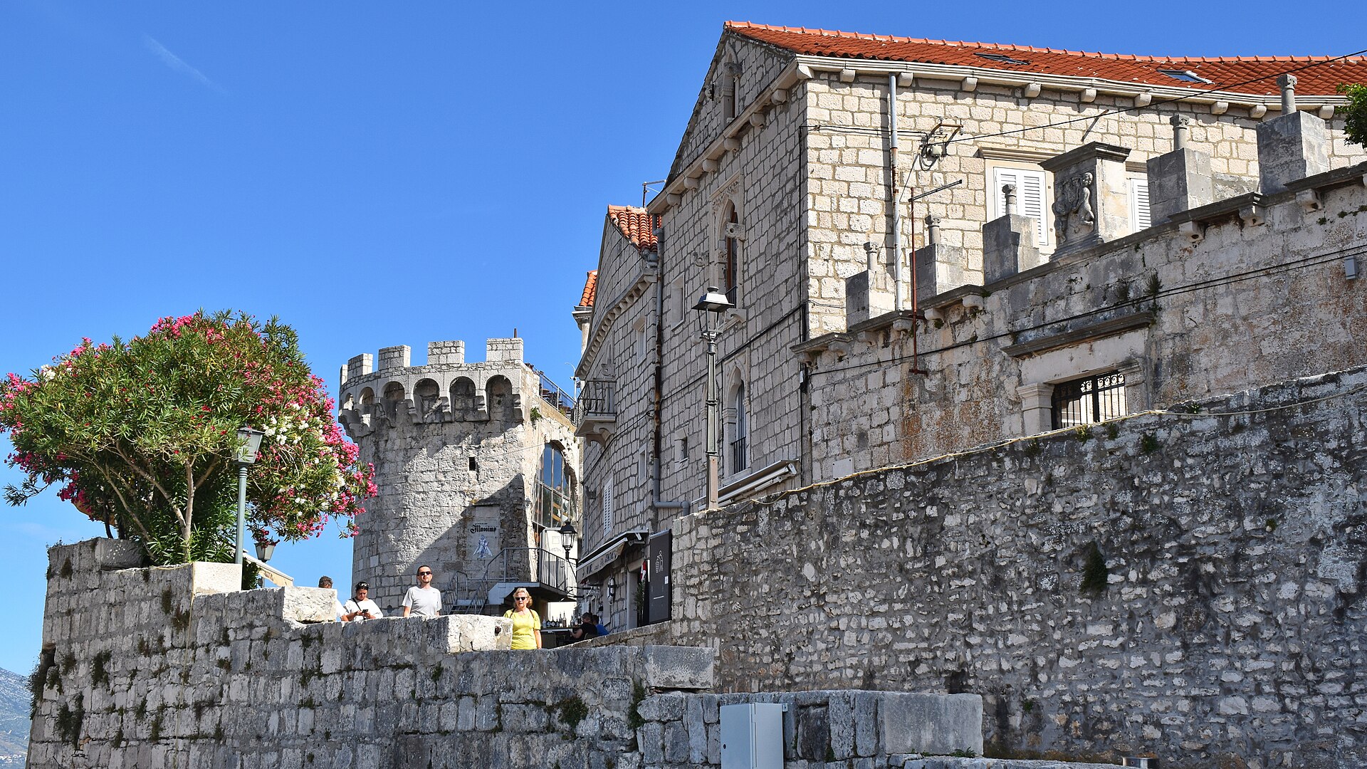
Korčula's old town sits on a small peninsula shaped like a fish's tail, its medieval streets arranged in a deliberate herringbone pattern — angled to let the sea breeze through while keeping the bura wind from tearing down the alleys. You can walk the entire walled core in ten minutes, yet it holds a cathedral with a Tintoretto altarpiece, seven surviving towers from an original twelve, and confraternities that have been meeting continuously since 1301.
The island stretches some 47 kilometres westward from that stone town, ending at Vela Luka on the opposite shore. Between the two, pine forests, vineyards, and small villages occupy a landscape that has been continuously inhabited since the last ice age.
How Korčula Island came to be
People sheltered in Vela Spila cave here around 20,000 years ago. Greek colonists from Corfu arrived in the 6th century BC, naming the place Black Korkyra after their homeland and the island's dense pine cover. A later colony, founded by settlers from Vis, left behind the Lumbarda Psephisma — a stone inscription now considered the oldest written document in Croatia. Rome absorbed the island into the province of Dalmatia around 10 AD, and Byzantium held it after that, until Croat settlers arrived in the 6th and 7th centuries.
Venice kept returning: a Venetian nobleman took the island in the 12th century, and Doge Peter II Orseolo had claimed it even before that, in 1000. The town's statute dates to 1214. After Napoleon dissolved the Venetian Republic, Korčula passed through Austrian, French, and British hands before Austria held it again until 1918. German forces occupied the island in World War II; it was liberated in September 1944.
Who and what shaped it
People who shaped it
Landmark buildings
See Korčula Island in motion
Plan your visit
On the map
When to go
Summers are hot and dry, with sea temperatures that stay warm well into September. Spring and autumn bring mild days and occasional rain; winters are quiet and cool, with the ferry running year-round but most visitor-facing businesses closed.
Right now
Background & history adapted from Wikipedia (CC BY-SA) · specs from Wikidata (CC0) · weather from Open-Meteo · map data © OpenStreetMap contributors · photos from Wikimedia Commons / Unsplash with per-image credit. No third-party reviews or social posts reproduced.