
Koh Tao
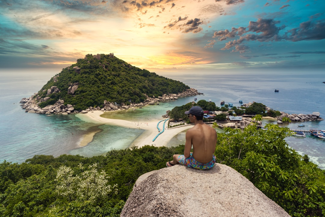
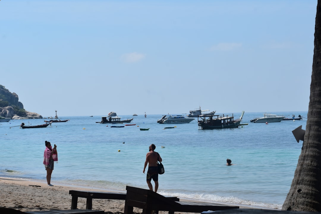
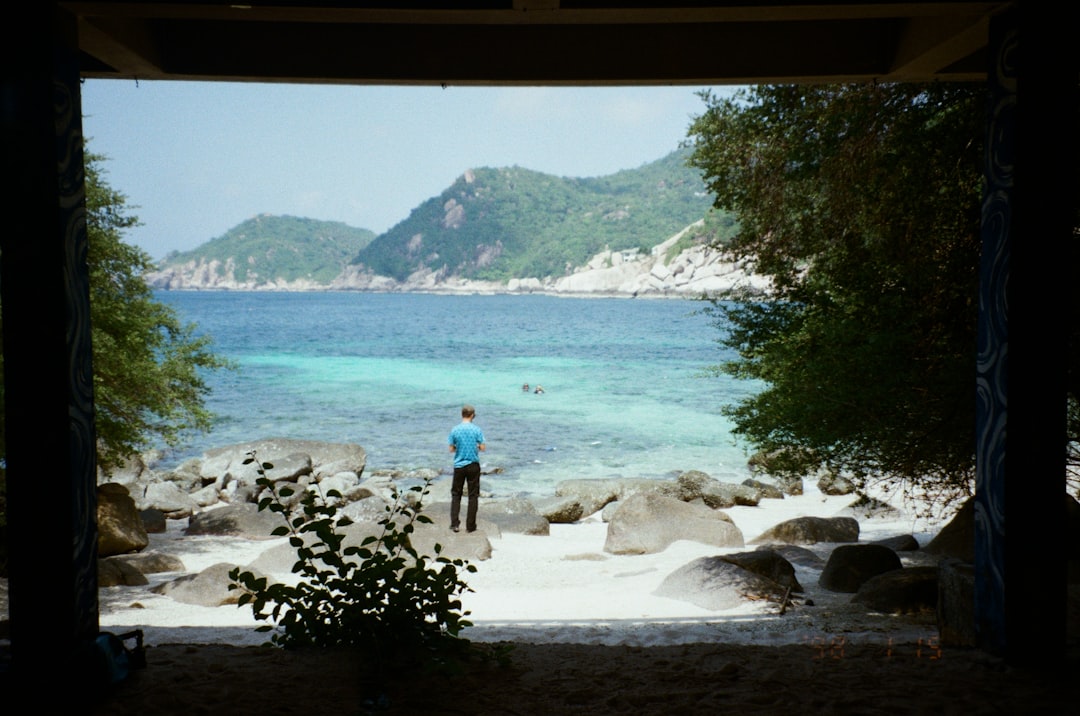
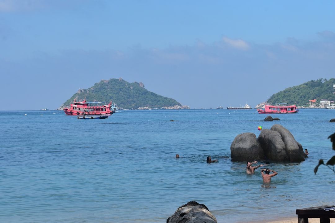
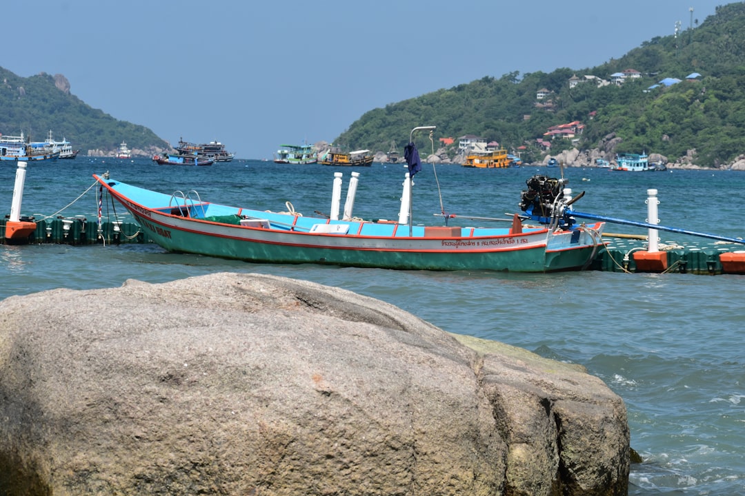
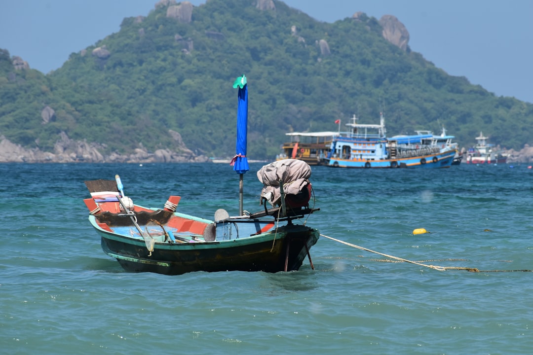
Koh Tao's name means Turtle Island — a nod to the sea turtles that once nested on its beaches and to the shape the island traces from the air. What draws people now is less the shape than what lies beneath: thirty-odd dive sites within a short boat ride, warm water most of the year, and a dive-certification industry so concentrated that the island earned the nickname PADI Island long before anyone thought to put it on a tote bag.
Above the waterline, the island runs about five miles long and two wide. The west coast's Sairee Beach — 1.7 kilometres of sand interrupted by large boulders — holds most of the accommodation and restaurants. Ban Mae Haad, the main port settlement, is where every ferry arrives. The south curves toward the quieter bay of Chalok Baan Khao, and just off the northwest tip, three small islands called Koh Nangyuan are joined by a sandbar above some of the best coral on the island.
💛 What travellers fall for
People who come back tend to move further from Sairee each time — Chalok Baan Khao for a slower pace, or Koh Nangyuan for a morning before the day-trippers arrive. Big Blue Diving comes up constantly for its instruction; Ban's Diving Resort, the largest Thai-owned operation, for its breadth of courses. Book your dive course before you arrive in high season.
How Koh Tao came to be
The island appears on maritime maps from the 1820s under the name Bardia or Pulo Bardia, but it spent most of the following century essentially uninhabited. In June 1899, King Chulalongkorn — Rama V — stopped here; his initials, carved into a rock at the southern end of Sairee Beach, are still a site of quiet worship. From 1933 the island served as a political prison until a royal pardon in 1947 freed the last inmates. That same year, two brothers from Koh Phangan, known as Khun Uaem and Khun Oh, settled the western shore and became the founding generation of the present community.
Tourists didn't appear until 1977, arriving on coconut merchant boats and sleeping in wooden bungalows. The dive industry took shape through the work of Italian diver Cesare Benelli, who began bringing divers over from Koh Samui and named the sites Red Rock, White Rock, and Green Rock after the colours of the Italian flag. In the late 1980s a Swedish backpacker named Michael Spjuth completed his Divemaster training, took out a bank loan, and opened Big Blue Diving in 1991. The certification economy that now defines the island grew from those early roots.
Who and what shaped it
People who shaped it
Landmark buildings
See Koh Tao in motion
Plan your visit
On the map
When to go
Temperatures sit between 29°C and 31°C for most of the year, dipping slightly to around 28°C during the wetter months of October through February, when afternoon thunderstorms are common but full-day rain is rare. May brings the heaviest rainfall; January, February, and March are the driest and most reliable months to visit.
Right now
Background & history adapted from Wikipedia (CC BY-SA) · specs from Wikidata (CC0) · weather from Open-Meteo · map data © OpenStreetMap contributors · photos from Wikimedia Commons / Unsplash with per-image credit. No third-party reviews or social posts reproduced.