
Koh Phi Phi
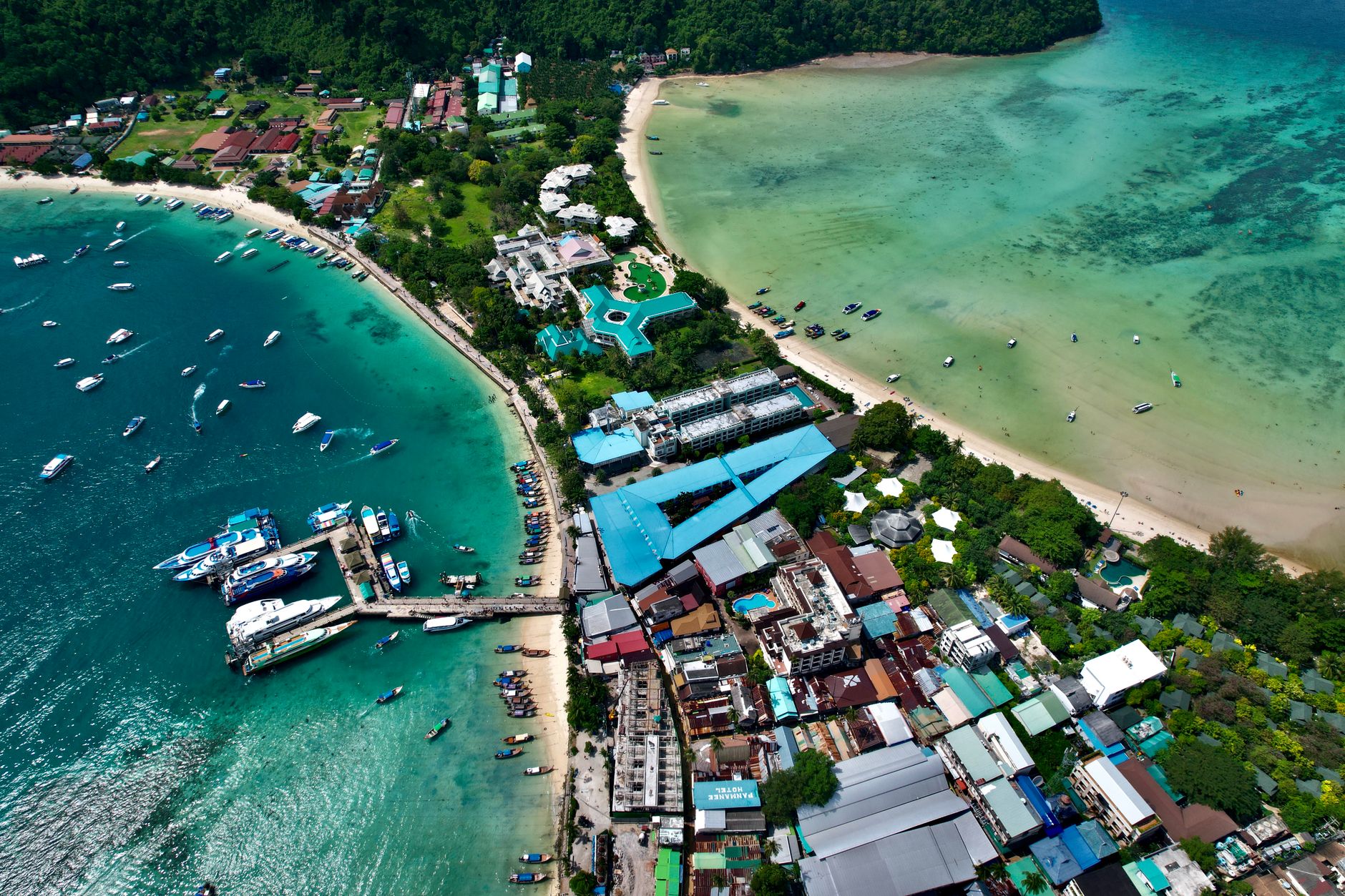

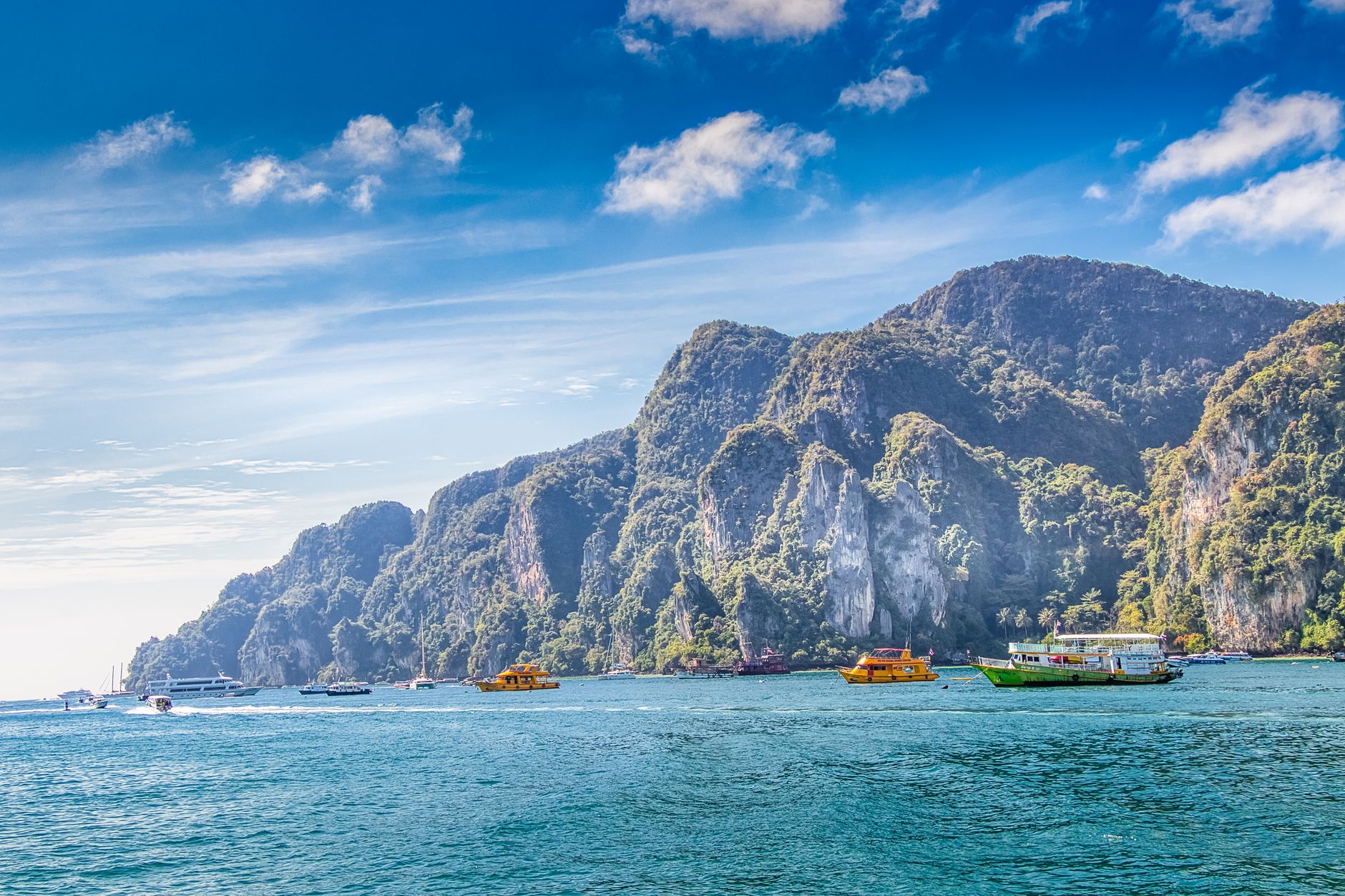
The name comes from the Malay *Pulau Api Api* — the fiery tree, a gray mangrove that once lined these shores. Six limestone islands rise from the Andaman Sea between Krabi and Phuket, and the largest, Phi Phi Don, is where almost everyone lands: a sandy isthmus pinched between two ridgelines, with a working village on one side and the sea on the other.
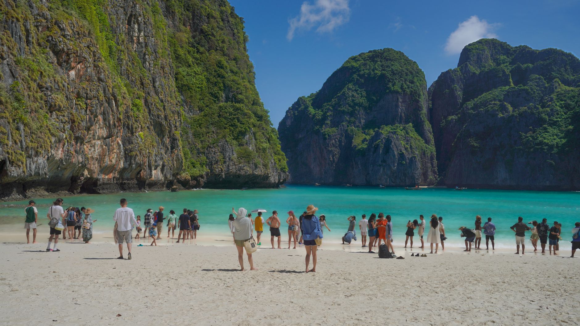
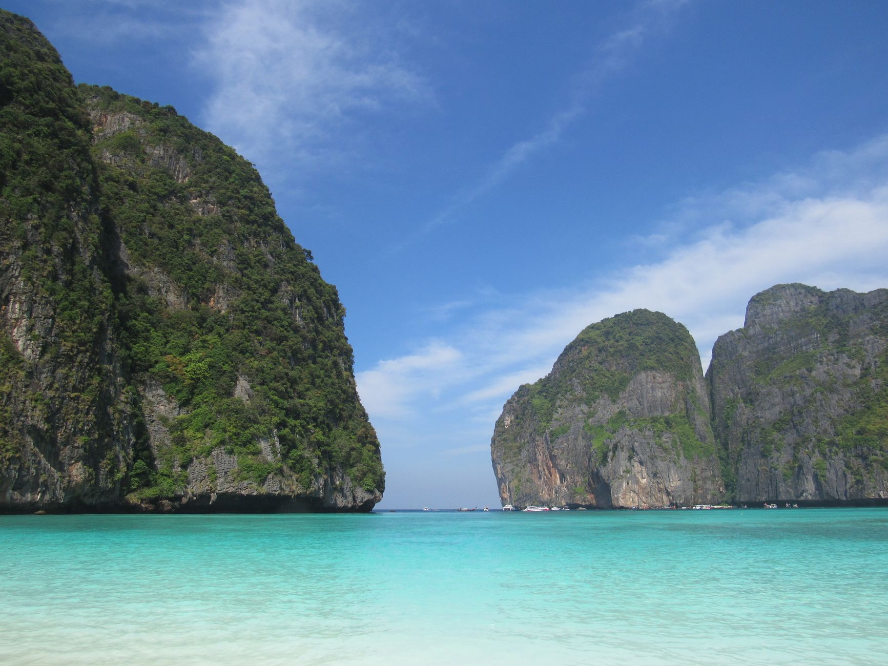
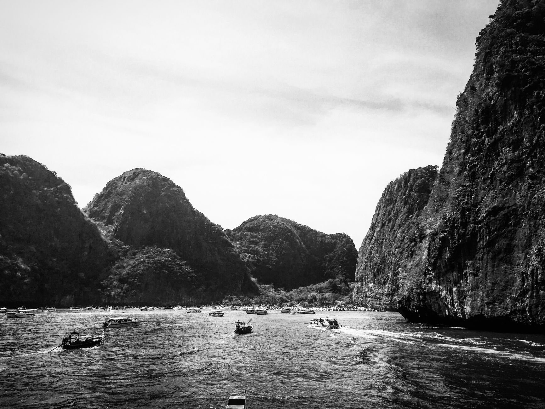
Phi Phi Leh, the smaller uninhabited island to the south, holds Maya Bay — a 200-metre arc of white sand enclosed by cliff walls that became famous after the 2000 film *The Beach*. The bay closed in 2018 for environmental recovery. Viking Cave, on the same island, is where collectors still harvest edible swiftlet nests each spring from bamboo scaffolding lashed to the rock face.
💛 What travellers fall for
People who come back tend to base themselves away from Ton Sai's main drag — Long Beach is a fifteen-minute walk and noticeably quieter, while Laem Thong at the northeastern tip sits on its own. The climb to Phi Phi Viewpoint is worth doing before the heat builds, and the Pi Leh Lagoon, with its hundred-metre limestone walls, rewards anyone who arranges a longtail early.
How Koh Phi Phi came to be
The islands were a waypoint long before tourism arrived — Chinese, Indian, and Arab traders moved through here between the 15th and 18th centuries, and the Urak Lawoi, a sea-nomadic people who have sailed the Andaman for at least three centuries, knew these waters intimately. By the 19th century the sheltered coves had a reputation as a pirate refuge. Permanent settlement came in the late 1940s, initially Thai Malay fishermen, then coconut planters.
On 26 December 2004, the Boxing Day tsunami killed around 4,000 people on Phi Phi — the low-lying isthmus of Ton Sai Village left almost nowhere to run. Recovery was slow and uneven. In January 2005, former Dutch resident Emiel Kok founded Help Phi Phi to coordinate rebuilding, and a large deep-water pier was completed at Tonsai Bay in late 2009. The resident population today is around 2,000 to 3,000 people, more than 80 percent Muslim.
Who and what shaped it
People who shaped it
Landmark buildings
See Koh Phi Phi in motion
Plan your visit
On the map
When to go
The dry northeast monsoon season runs roughly November through April, bringing calmer seas and clear skies — the best window for snorkeling and island-hopping. May through October brings the southwest monsoon; some ferry routes reduce frequency and the sea can be rough, though the islands don't fully shut down.
Right now
Background & history adapted from Wikipedia (CC BY-SA) · specs from Wikidata (CC0) · weather from Open-Meteo · map data © OpenStreetMap contributors · photos from Wikimedia Commons / Unsplash with per-image credit. No third-party reviews or social posts reproduced.