
Koh Ker
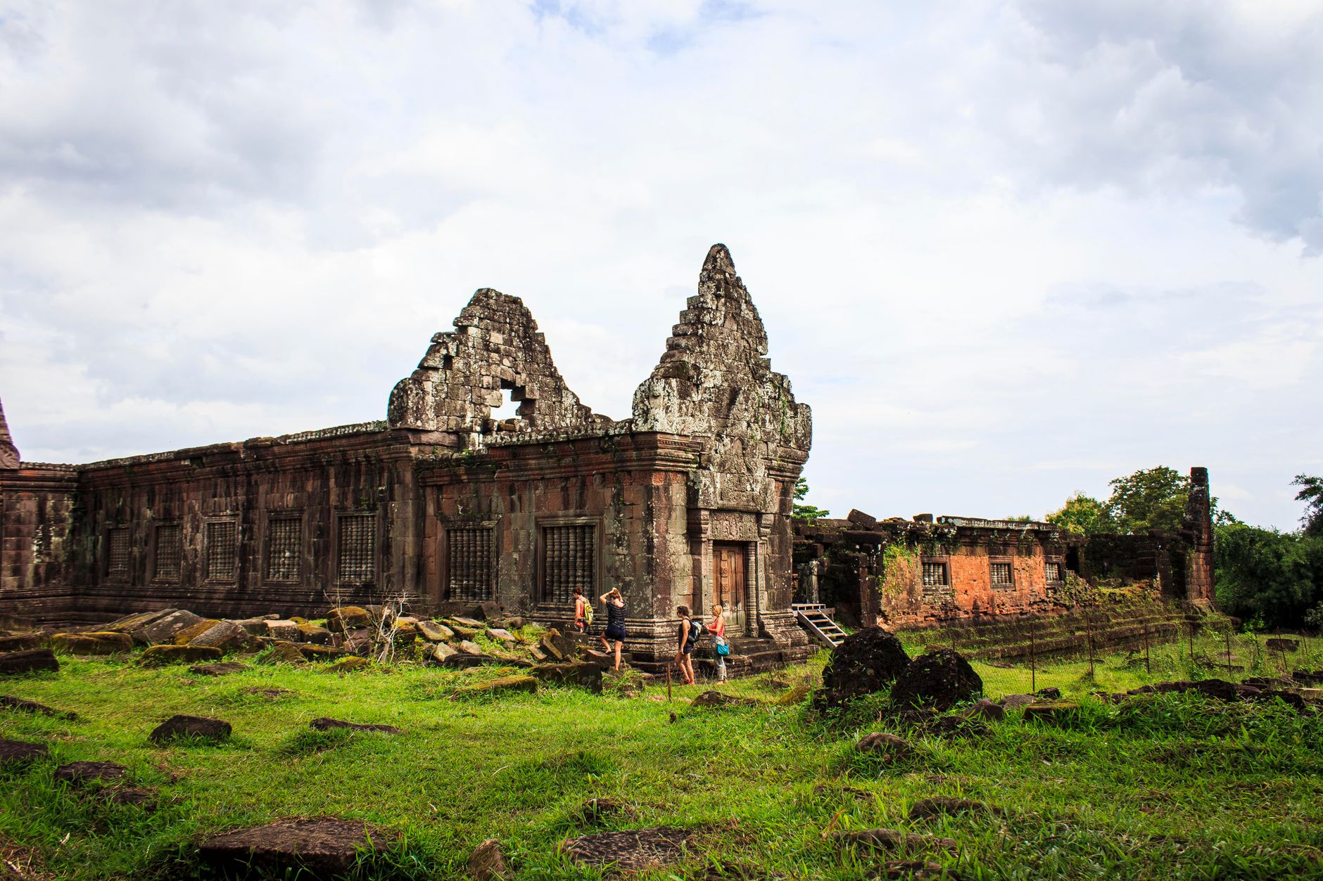
Koh Ker sits about 120 kilometres northeast of Siem Reap, deep in the Cambodian forest, and the first thing you notice when you clear the treeline is the pyramid. Prasat Thom rises seven tiers and 36 metres above the canopy — a sandstone bulk that once served as the state temple of a rival Khmer capital — and it still has the gravity of something that was meant to be the centre of the world.
More than 180 sanctuaries are spread across 81 square kilometres here, though only around two dozen are open to visitors; the rest remain in undemined forest. What you do reach is enough: brick towers split open by strangler figs at Prasat Pram, the vast Rahal reservoir fed by the Sen River, and a site that earned UNESCO inscription as recently as September 2023.
How Koh Ker came to be
In 921 CE, King Jayavarman IV — who had consolidated his claim to the Khmer throne through marriage to a half-sister of his predecessor Yasovarman I — established Koh Ker as a rival capital to Angkor. The sacred city was laid out according to ancient Indian cosmological principles, and a Sanskrit inscription records the consecration of a Shiva-lingam at Prasat Thom that same year, worshipped under the name Tribhuvaneshvara, Lord of the Threefold World. For roughly two decades it functioned as a co-capital; from 928 to 944 CE, under Jayavarman IV and briefly Harshavarman II, it was the sole seat of the empire.
After the capital returned to Angkor in 944, Koh Ker receded into the forest. Radiocarbon dating from excavations near Prasat Thom and the Rahal baray confirms human activity on the site as far back as the 7th and 8th centuries. French scholars Louis Delaporte and Henri Parmentier visited in 1880 and 1921 respectively, but the site remained little-studied until recent decades.
Who and what shaped it
People who shaped it
Landmark buildings
See Koh Ker in motion
Plan your visit
On the map
When to go
Northern Cambodia runs hot and dry from November through May — the window when roads are reliable and the forest light is clearest. The rainy season (roughly June to October) brings lush green growth but can make outlying tracks impassable without a 4WD, and midday heat in the dry season is considerable, so an early start pays off.
Right now
Background & history adapted from Wikipedia (CC BY-SA) · specs from Wikidata (CC0) · weather from Open-Meteo · map data © OpenStreetMap contributors · photos from Wikimedia Commons / Unsplash with per-image credit. No third-party reviews or social posts reproduced.