
Koh Chang
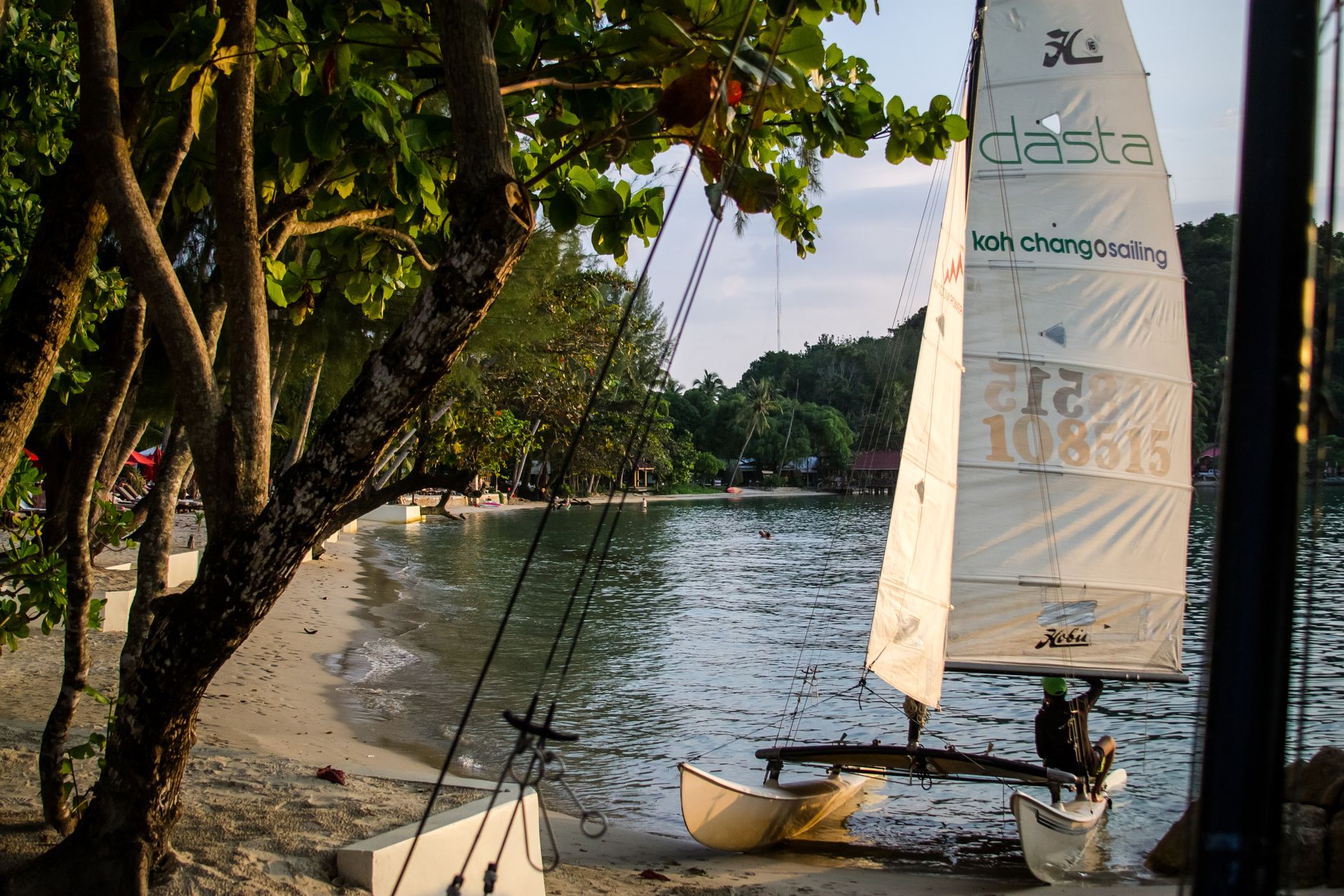
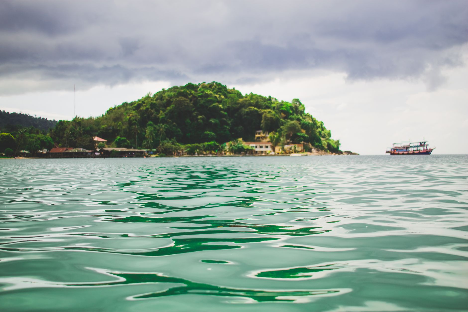
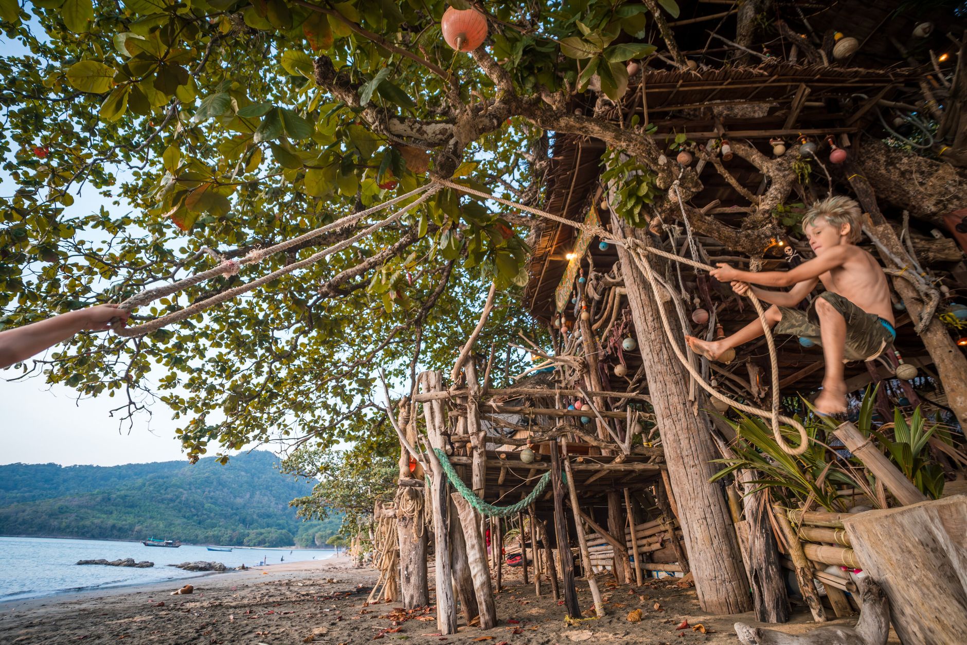
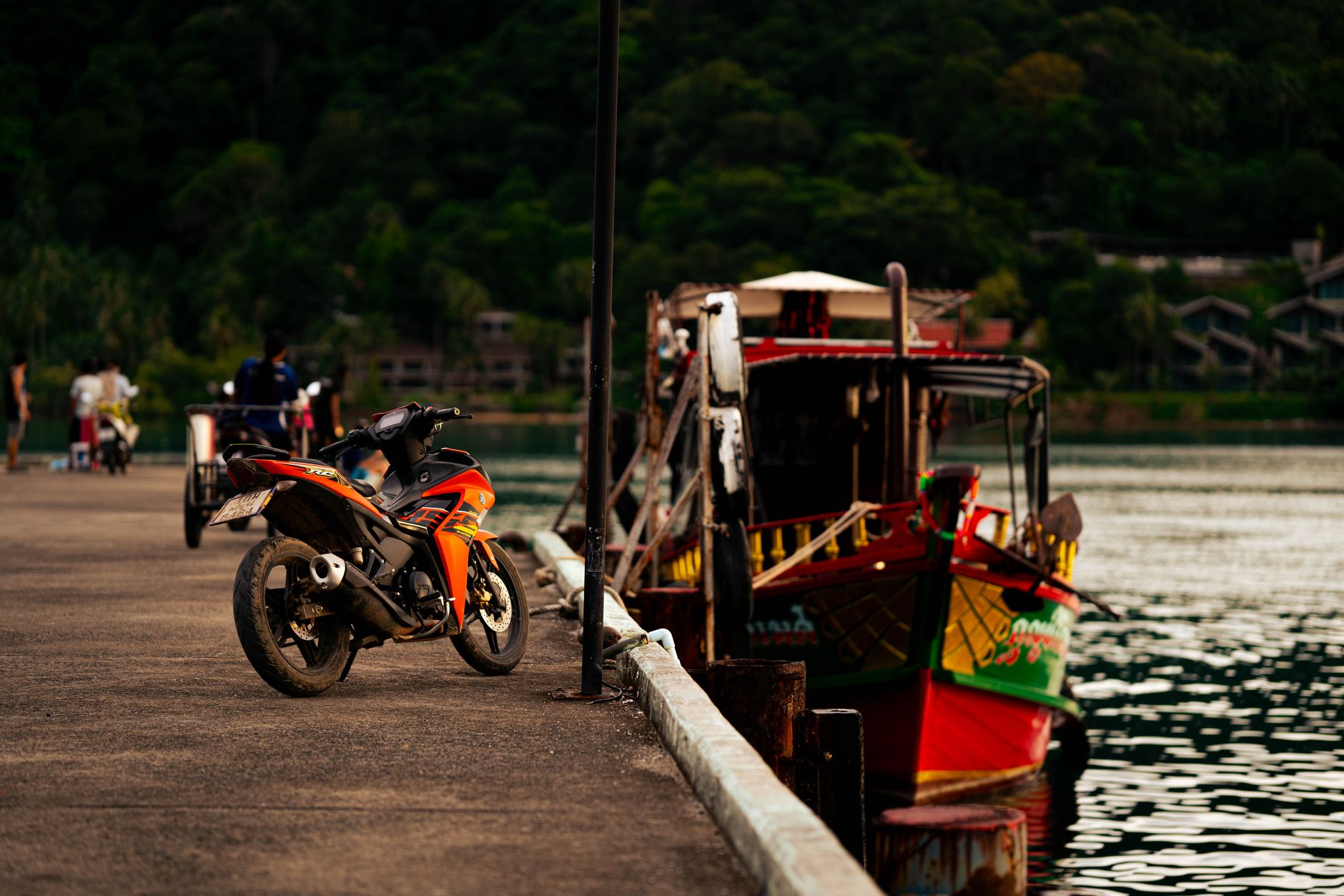
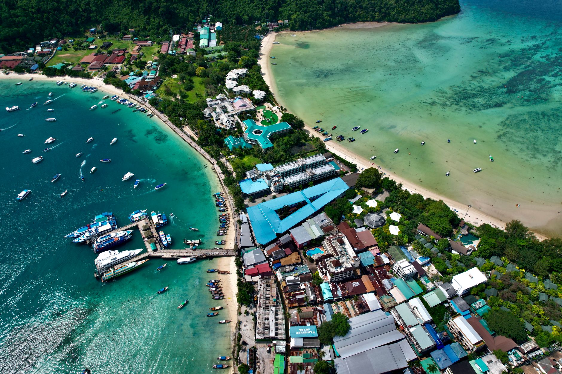
Thailand's third-largest island sits about 300 kilometres east of Bangkok, and it still carries some of the unhurried texture of a place that first appeared on maps because a headland looked like an elephant. The west coast runs through fishing villages and a long arc of beach; the interior is dense national-park forest crossed by a three-tiered waterfall that drops into a natural pool at Khlong Plu. Somewhere in the south, a lychee variety said to be two hundred years old grows in orchards that predate the resort era entirely.
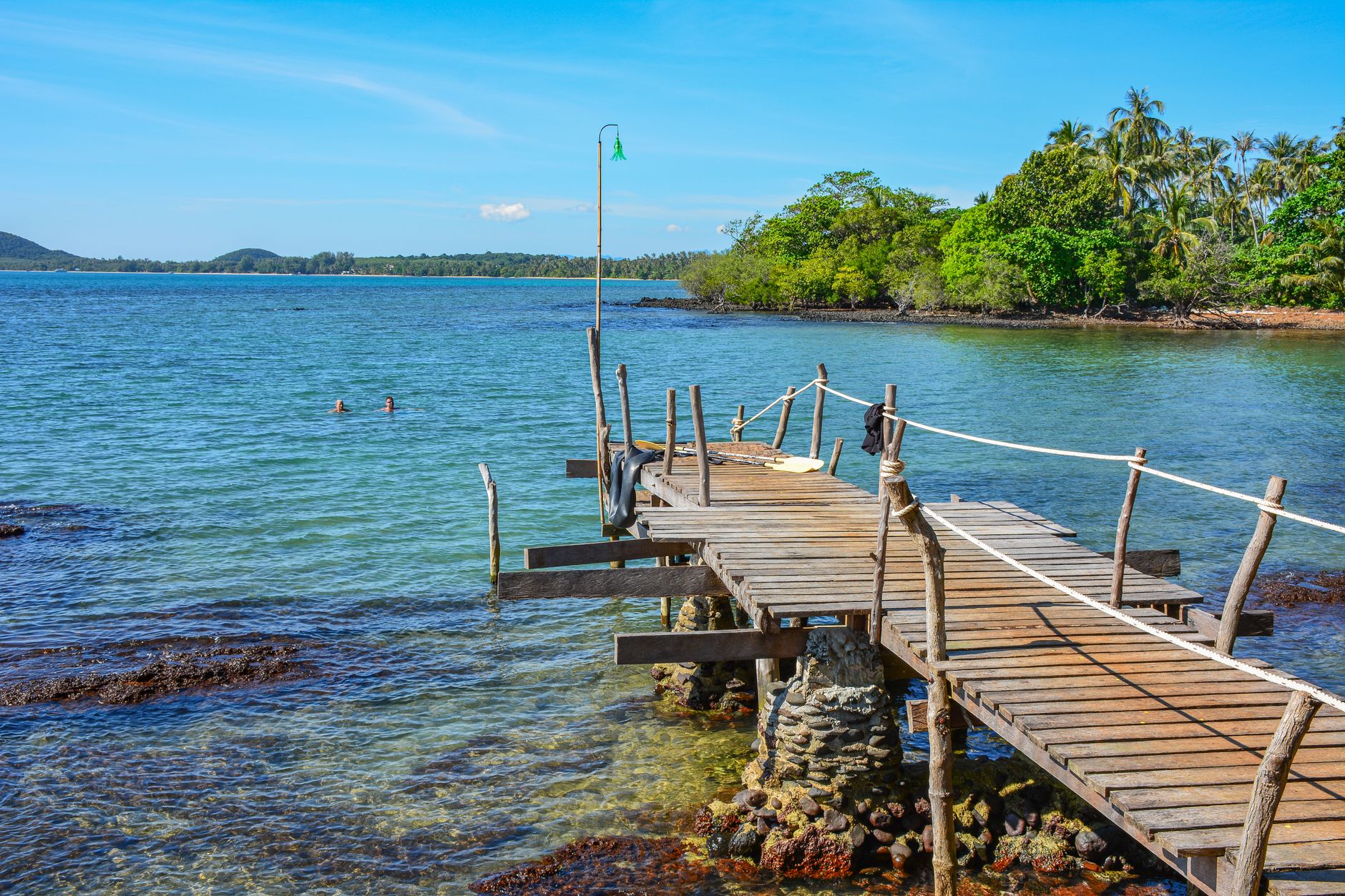
Bang Bao, on the southern tip, gives you the island's character in miniature: wooden houses on stilts extending over the sea, fishing boats moored below, a pier that doubles as the main street. The east coast is quieter, more local — Ban Salak Phet is the oldest fishing community on the island, and the administrative centre at Ban Dan Mai has little interest in tourism at all.
💛 What travellers fall for
People who come back tend to base themselves somewhere mid-island around Klong Prao, rent a motorbike for 150 baht a day, and spend one full morning at Khlong Plu waterfall before the tour groups arrive. The east coast road to Salak Phet is worth the detour — almost nobody uses it, and the mangrove views are long and quiet.
How Koh Chang came to be
The island's name dates to the reign of King Naresuan in the Ayutthaya period (1350–1767), a reference to the elephant-shaped headland visible from the sea. For centuries it remained a quiet place of coconut groves and fishing families, largely unknown beyond the region. The first foreign backpackers arrived in the mid-1970s, arriving by local fishing boat.
On 17 January 1941, the waters off Koh Chang became the site of the Battle of Ko Chang — a naval engagement between the Royal Thai Navy and a Vichy French squadron that ended in a decisive French victory, with three Thai ships sunk and 36 lives lost. The island was designated part of Mu Ko Chang National Marine Park in 1982, and in 2001 Prime Minister Thaksin Shinawatra visited with development ambitions that signalled the beginning of its modern resort era.
Who and what shaped it
Landmark buildings
See Koh Chang in motion
Plan your visit
On the map
When to go
Trat province receives over 4,500 millimetres of rain a year, making it one of Thailand's wettest corners. November through May brings clear seas and dry days; June through October is monsoon season — some guesthouses close, boats to the outer islands stop running in August and September, and the island belongs mostly to locals.
Right now
Background & history adapted from Wikipedia (CC BY-SA) · specs from Wikidata (CC0) · weather from Open-Meteo · map data © OpenStreetMap contributors · photos from Wikimedia Commons / Unsplash with per-image credit. No third-party reviews or social posts reproduced.