
Kitayama
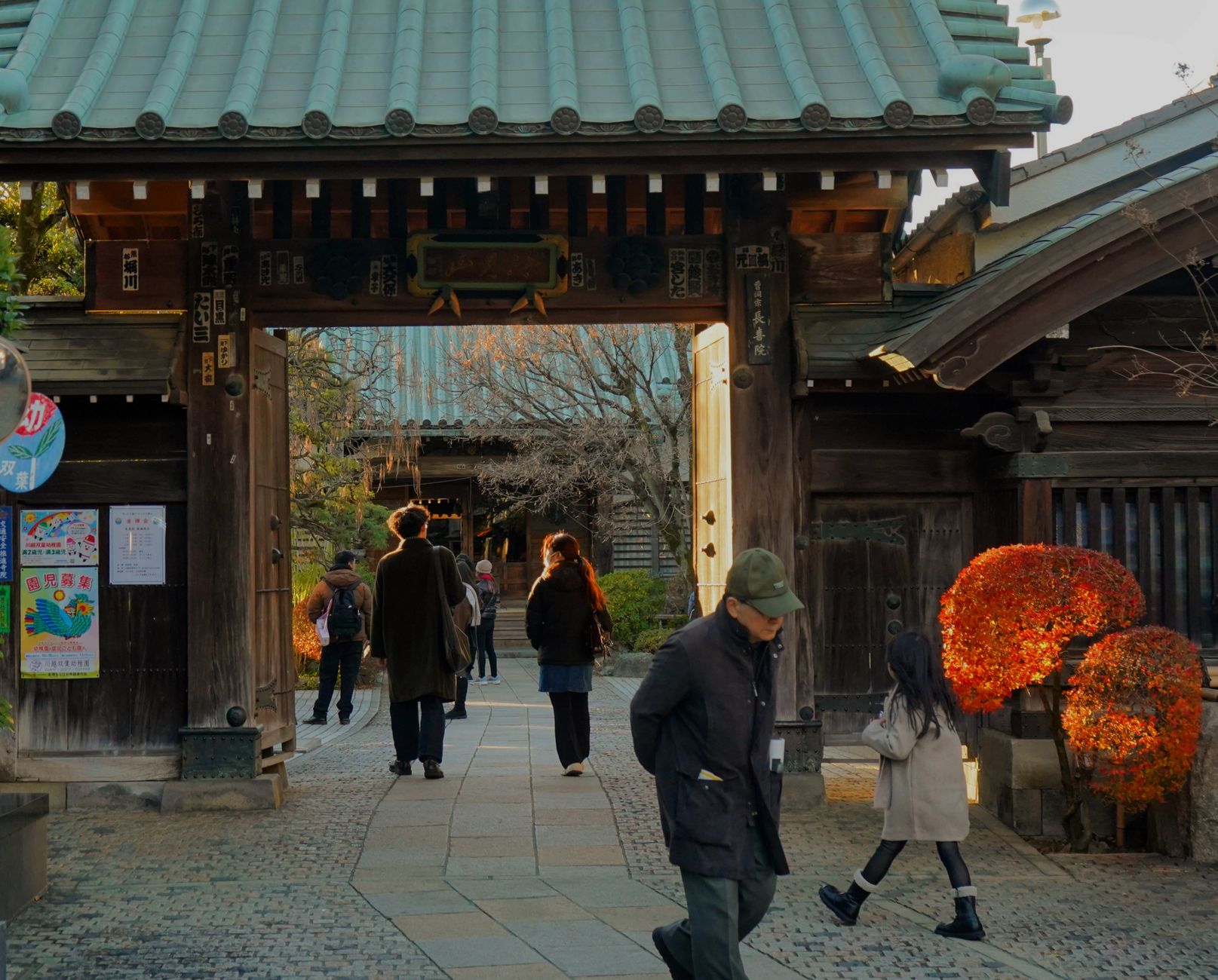
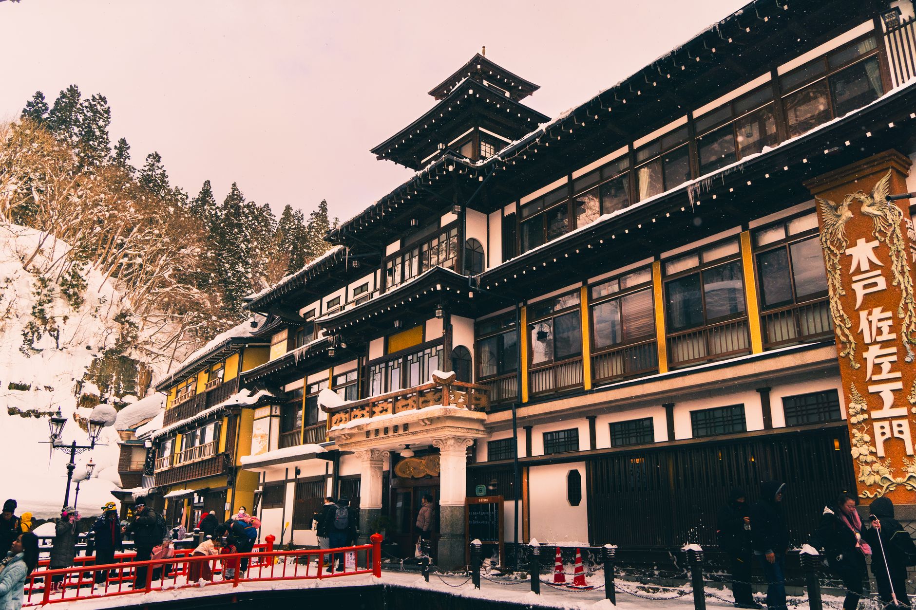
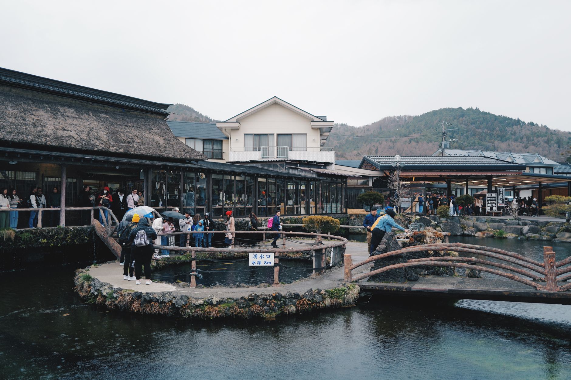
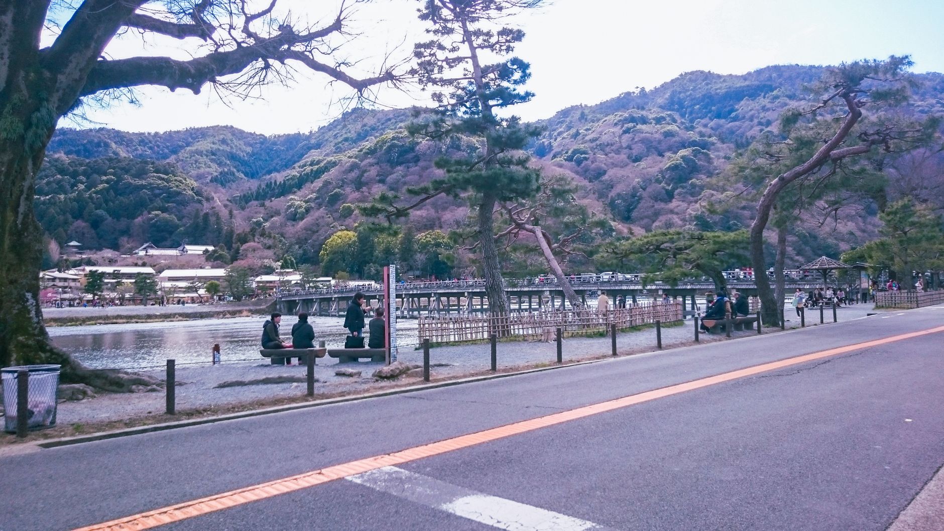
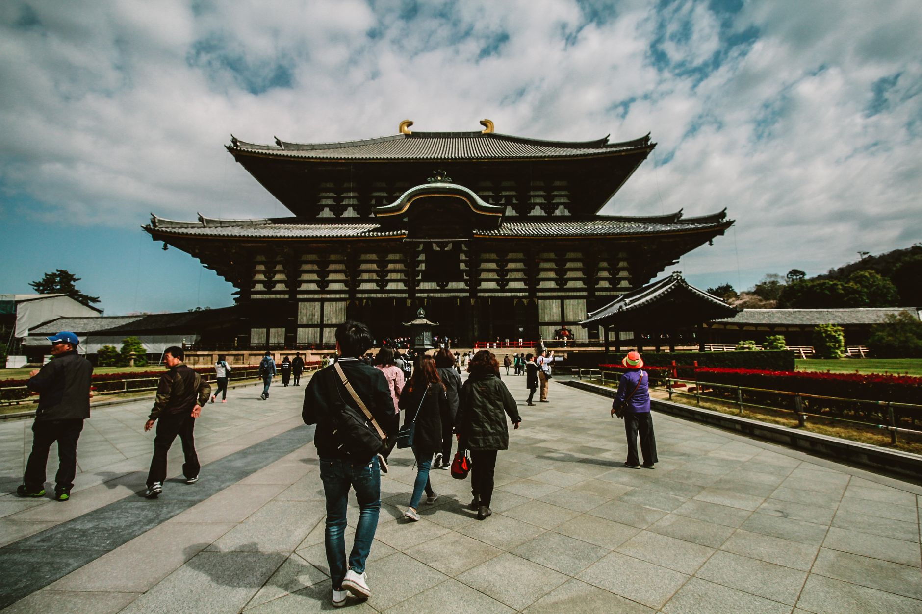
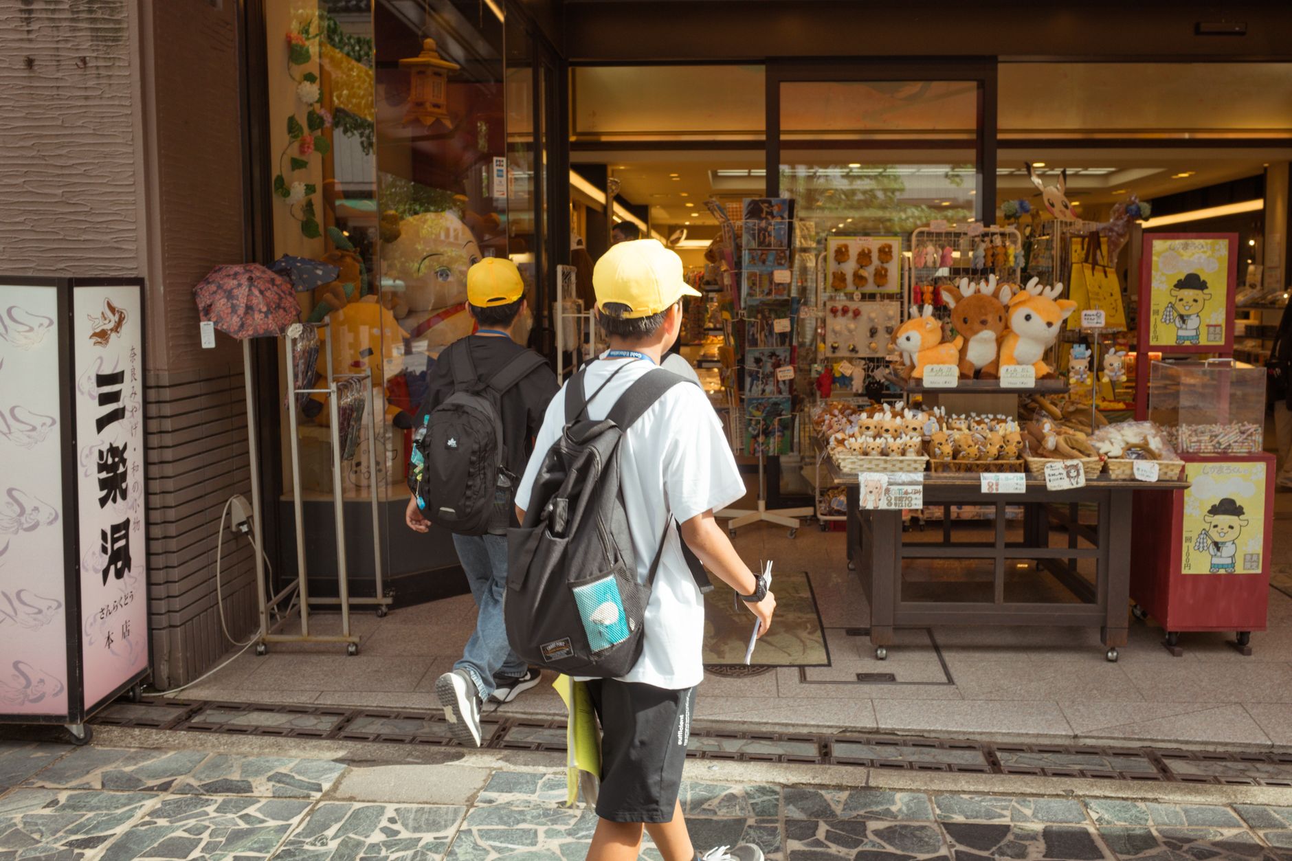
The road that gives Kitayama its name is wide and unhurried, lined with the kind of coffee shops and small art spaces that accumulate wherever a city starts to breathe out. But press north from Kitayama Street and the urban grain dissolves quickly — into cedar forests that have been managed by the same families for centuries, into thatched-roof houses in Hanase that now serve lunch, into mountain trails that end at temples so lightly visited you might have the courtyard to yourself.
This is Kyoto's northern quarter, and it carries a different weight than the tourist corridors to the south. The Golden Pavilion is here too, yes — but so is a forestry tradition said to be Japan's oldest, and a valley road that climbs toward Kurama before the city has fully let go of you.
💛 What travellers fall for
People who come back tend to catch an early subway to Kitayama Station, walk the botanical gardens before the school groups arrive, then spend the afternoon on the Eiden Eizan Line up to Kurama. The two-bus-a-day service to Hirogawara is the one detail worth planning around — miss the morning departure and the mountain heart stays out of reach.
Deals in Kitayama
Book directly at the provider

How Kitayama came to be
The land here was first held by the court noble Nakasukeo in the twelfth century, then passed to Saionji Kintsune — the highest-ranking nobleman of his era — who built a family temple and villa he called Kitayama-dai. That name stuck to the whole district. In 1397, the retired shogun Ashikaga Yoshimitsu acquired the estate from the Saionji family and built Kitayama-dono, the villa complex that would eventually become Kinkaku-ji. His son converted it into a Zen temple after Yoshimitsu's death in 1408.
The cultural period that followed — stretching through the fourteenth and fifteenth centuries under Muromachi rule — gave the district its lasting character: a place where power expressed itself through refinement rather than fortification. Sen no Rikyū, who brought the tea ceremony to its most considered form, specifically praised the cedar grown in these hills. The trees and the taste for restraint outlasted the shogunate.
Who and what shaped it
People who shaped it
Landmark buildings
See Kitayama in motion
Plan your visit
On the map
When to go
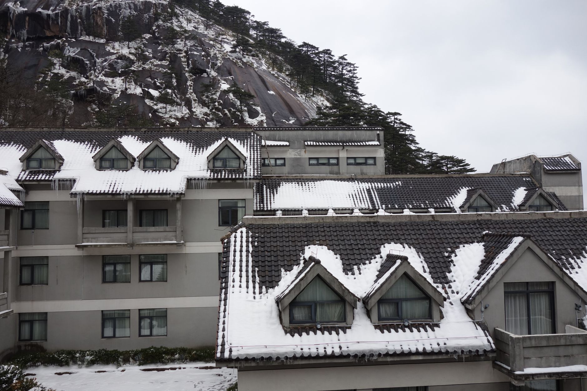
Kyoto's northern hills shade cooler than the city centre in summer and catch more snow in winter — Kitayama's cedar forests look their most austere in January and February. Spring draws visitors for cherry blossom along the botanical gardens, and the mountain paths are at their most walkable from late September through November, when the maples turn.
Right now
Background & history adapted from Wikipedia (CC BY-SA) · specs from Wikidata (CC0) · weather from Open-Meteo · map data © OpenStreetMap contributors · photos from Wikimedia Commons / Unsplash with per-image credit. No third-party reviews or social posts reproduced.